Ancient Mule Track Strà Granda

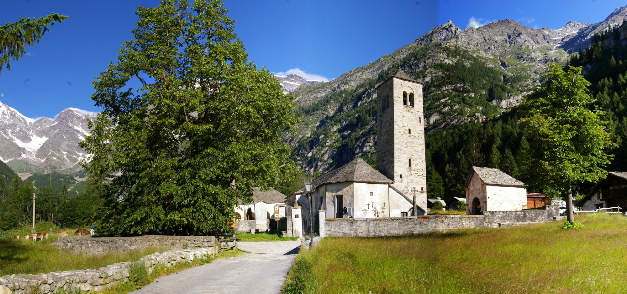
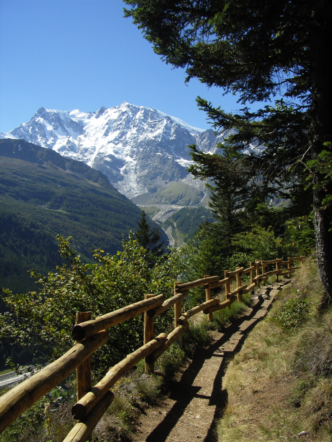
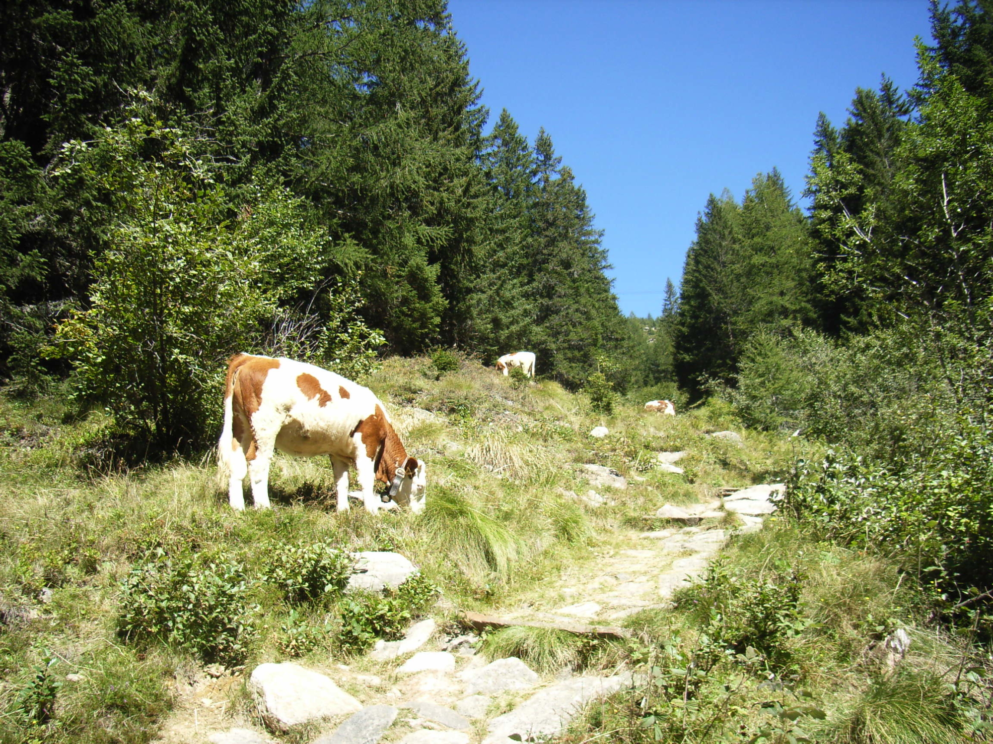
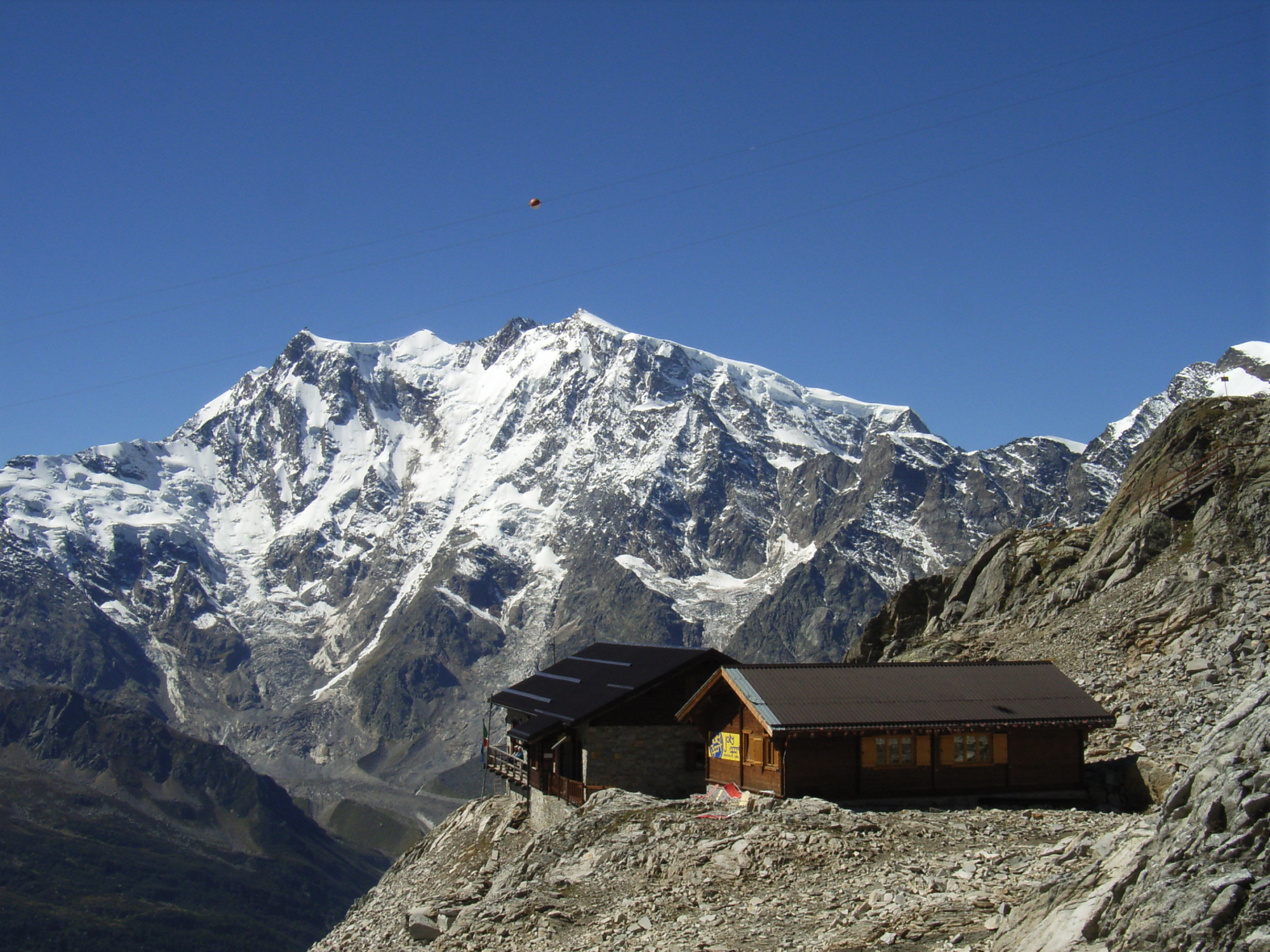
The Strà Granda is a splendid ancient mule track that crosses the Anzasca Valley from Piedimulera up to Macugnaga, at the foot of Monte Rosa, and then continues on to reach Switzerland.
The first written record linked to the route dates from 1553, and is signed by the Spanish governor of Milan. Along the track, you can thus discover numerous echoes of country life in a valley where the Walser people and strong popular devotion have left their marks: indeed, very many votive chapels are dotted along the route.
The Strà Granda runs for a total length of 48.5 kilometres and the itinerary described on this page involves a travelling time of four days.

  • 1st day : Departure from the Torre Ferrerio in Piedimulera, from where, after a brief but steep climb, you will arrive in the hamlet of Cimamulera, passing through the hamlet of Croppala. Continue on towards Meggiana and Meggianella and, after going past the church in Castiglione, you will reach Pecciola. Continue onwards through Molini, Duiamen, Antrogna, Calasca Dentro, Barzona and Pontegrande. For your overnight stay, go to the town of Bannio Anzino.
  • 2nd day: Walk on until you get to Case Pucci and after a short while you will reach San Carlo, pass in front of the ancient Torre di Battiggio and continue on to Vanzone. Then Valleggio, Croppo, Canfinello, Borgone and Ceppo Morelli. Skirt the lower part of the village until you reach the stone bridge over the Anza Torrent, then climb to Prequartera. Walking along the carriage road, you will arrive in Campigli, and then after walking along a wide mule track you can cross the Anza Torrent on the Ponte del Vaud, continuing on to the ruins of the old mine in Pestarena. Climbing to the Fornalei plateau, you can reach Iselle, then Macugnaga-Staffa and the ancient Walser village near the Old Church.
  • 3rd day: Climb from Macugnaga-Staffa up to the Monte Moro mountain pass.
  • 4th day: From the Monte Moro Pass you can cross into Switzerland as far as Saas Almagel.

Information

  • Total length: 48.5 Km
  • Estimated time: 4 days
  • Altitude at departure: 240 m
  • Altitude at arrival: 1670 m
  • Difference in altitude: Ascent 3216 / descent 1540
  • Suggested period: July-October
Ideal for
Everybody
You will discover
Adventure
Culture, traditions and folklore
Nature
Sport
Ideal for
Everybody
You will discover
Adventure
Culture, traditions and folklore
Nature
Sport
IAT di Macugnaga
Piazza Municipio, 6
28876 Macugnaga (VB)
See map

You might also be interested in...