MTB: Crossing Devero – Vannino
Difficulty
Medium
Period
Summer

This route is one of the most complete in the area: the high mountain climb up to the fairy-tale environment of Alpe Devero combined with the route up to the Codelago Dam and then the pass and the arrival in the Formazza Valley… The only drawback is having to go back for the car!
The route that runs along the Codelago basin is one of the most beautiful in the entire Ossola Valley. The whole thing can be cycled and is in a truly unforgettable setting, framed by Punta d’Arbola. The stretch of road from the Valle del Canaleccio up to Alpe Forno Inferiore is a tricky challenge, with very steep slopes and good soil. We recommend you have a torch or light with you to go through the second road tunnel that goes up Alpe Devero.

Download here the map.

Description

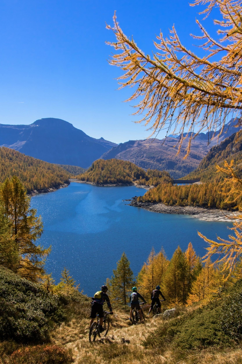
Follow the road to Alpe Devero until the end of the first tunnel, leave your car here and continue by mountain bike until you get to the Alpe Devero plain. Follow it on the right-hand side as far as a fork, from which a vehicle access leads, leading by means of a few hairpin bends to the Crampiolo huts. Continue along the mule track that rises diagonally to the right and reaches the Codelago Dam; follow its right-hand side on a path that has many ups and downs that you can always cycle along. Past the lake, continue on the wide path that runs entirely through the Valle del Canaleccio, at the end of which a farm road goes up on the right. After a few difficult hairpin bends, you’ll reach the Alpe Forno Inferiore plain. Cross a stream and continue on the meadows keeping to the right then take the narrow path that rises and continues, which at times can’t be cycled, to a small lake on a flat stretch.
Walk up a stone road with some hairpin bends and finally, after a long diagonal, come out on the Scatta Minoia, 2599 m (8527 ft), where you’ll find the Conti camp. Keeping to the left, carefully descend along the challenging and not very cyclable path that skirts the Punta della Satta and crosses steep slopes as far as Alpe Cortenova. Follow the path on the right-hand side of the Vannino Dam to reach the Margaroli refuge. Continue on the flat path until you come to a small stone dam and go downhill along the stream, following the mule track, which is sometimes uneven, as far as the top of the Sagersboden chairlift. From here, follow a clear path on the left that skirts around the mountain and then meets a vehicle track, which, via several hairpin bends and a further flat section, leads to the village of Canza, where it joins with the state road in the Formazza Valley. Follow the paved road that alternates between downhill and long flat sections and, at the hamlet of Piedilago, has a short climb up to Premia, then descends to Baceno, Crodo, Crevoladossola, eventually arriving at Domodossola.

Useful info

Route

First tunnel Alpe Devero road – Alpe Devero – Crampiolo – Lago di Devero – Alpe Forno Inferiore – Scatta Minoia – Alpe Vannino – Canza – Premia – Baceno – Crodo – Domodossola

Starting point

End of the first tunnel Alpe Devero road 1200 m (3937 ft)

End point

Domodossola 270 m (886 ft)

Highest point reached

Scatta Minoia 2599 m (8527 ft)

Total ascent

1484 m (4869 ft)

Total descent

2414 m (7920 ft)

Lenght

64 km

Cyclability

Partial

Best time of year

July-September

Difficulty

MI

Maps

CNS f.265 Nufenenpass, f.275 Valle Antigorio, f.1270 Binntal, f.1271 Basodino, f.1290 Helsenhorn / IGC f.11 Domodossola and Val Formazza

Access

From Gravellona Toce, follow the SS33 Ossola Highway until the exit for the Antigorio and Formazza valleys, continue towards Crodo and Baceno. In the centre of the village, turn left and reach Goglio. Continue along the road that starts from the Enel power station until the end of the first tunnel. Leave the car here and continue by mountain bike. Bear in mind that the route leads directly to Domodossola. You’ll then have to retrieve the car parked in Devero.

Ideal for
Everybody
You will discover
Nature
Sport
Guide to itineraries and useful info
Ideal for
Everybody
You will discover
Nature
Sport
Guide to itineraries and useful info
Choose your
mountain guide
IAT di Domodossola
Piazza Matteotti (inside the railway station)
28845 Domodossola (VB)
See map
Choose your
tour or nature guide

You might also be interested in...