Hiking – Via dell’Arbola: from Baceno to Alpe Crampiolo
Difficulty
Medium
Period
Spring / Summer / Autumn

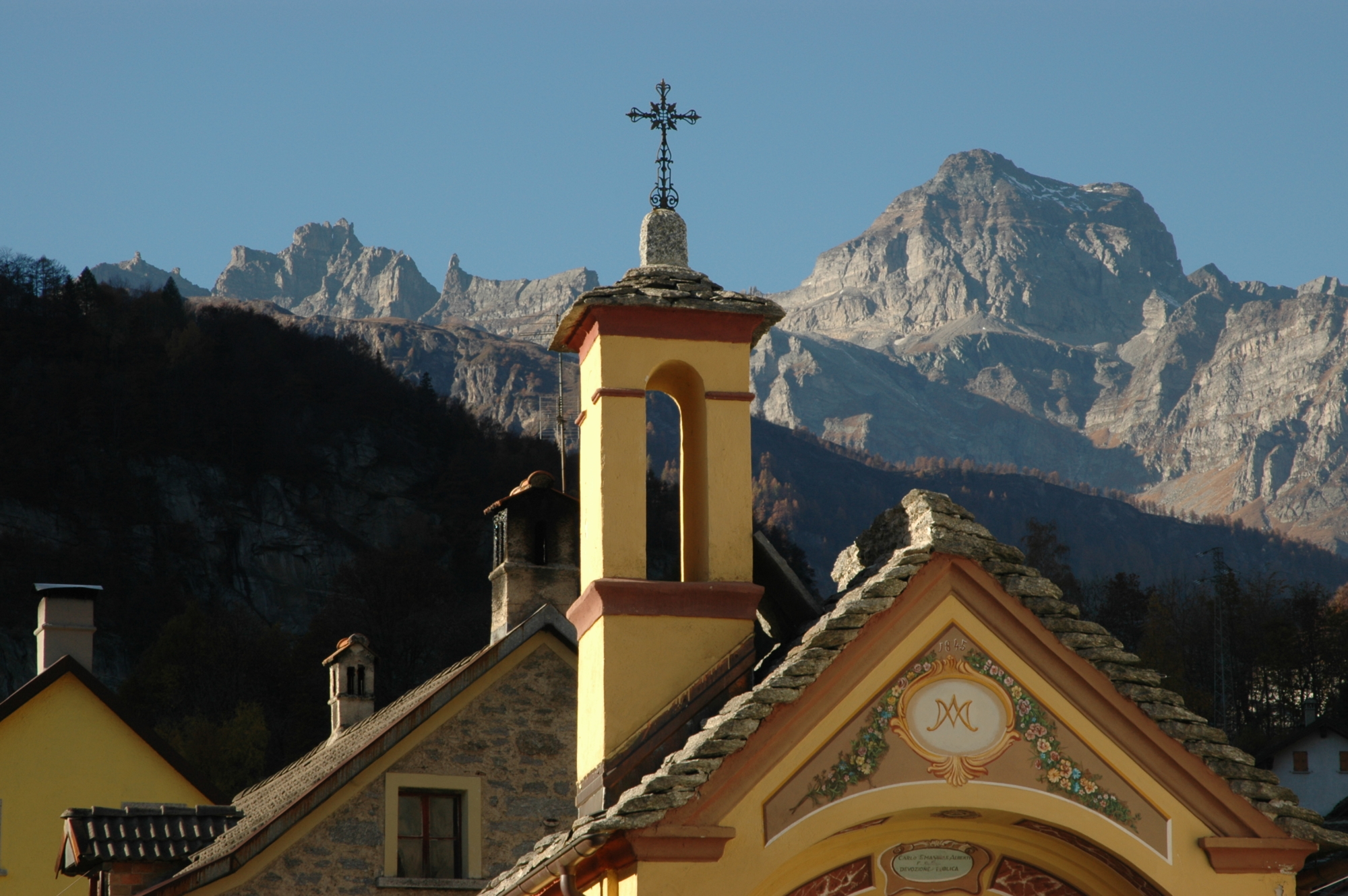
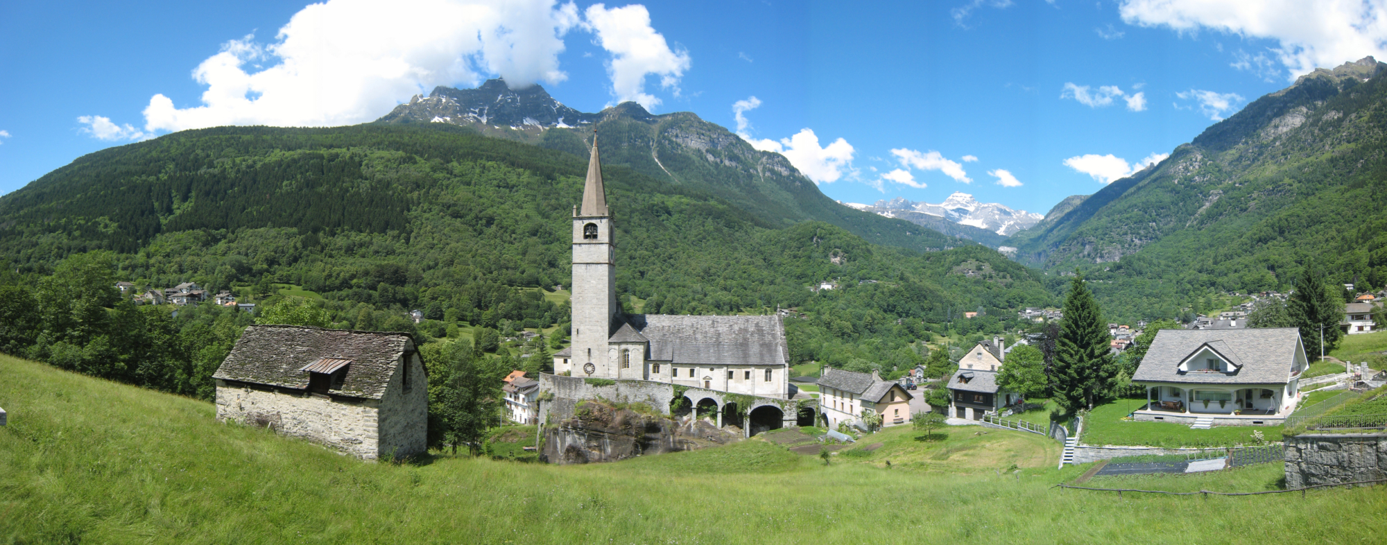
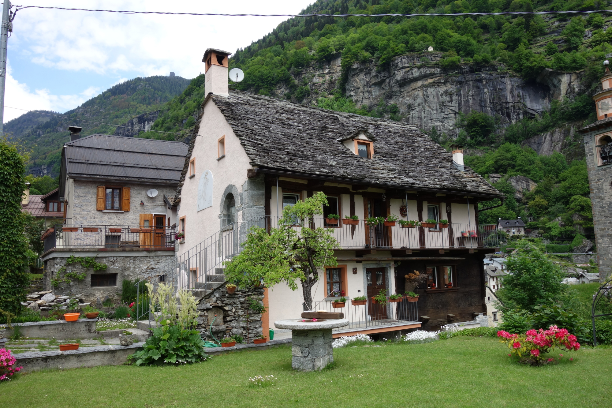
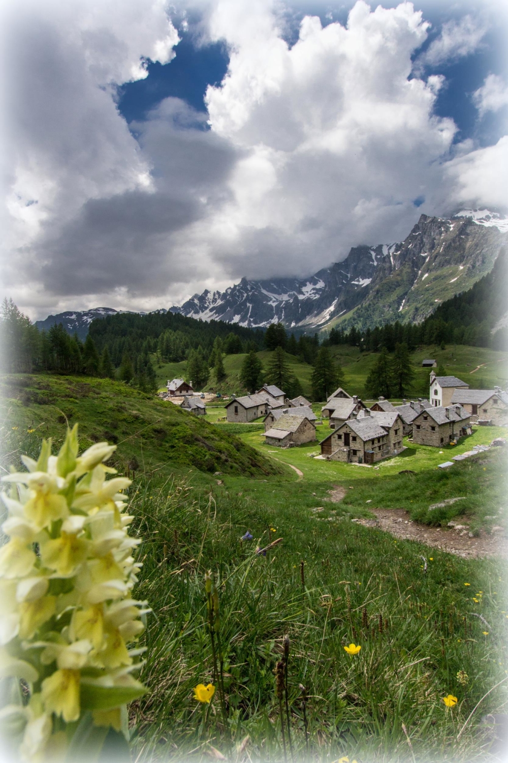
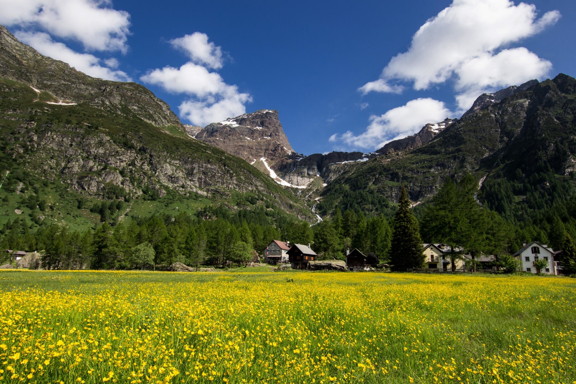
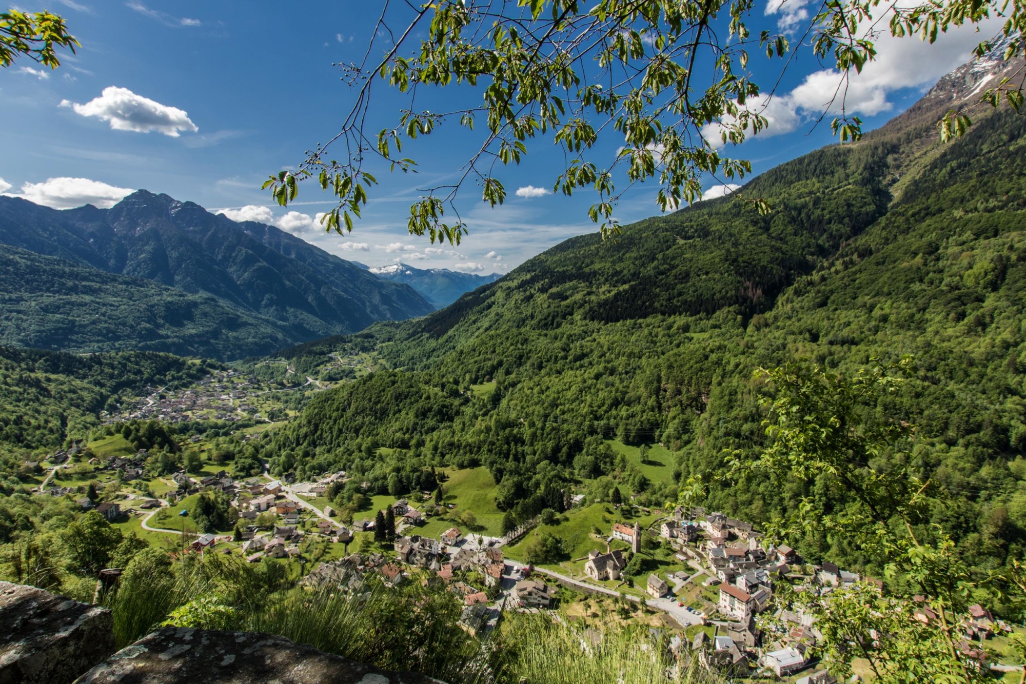
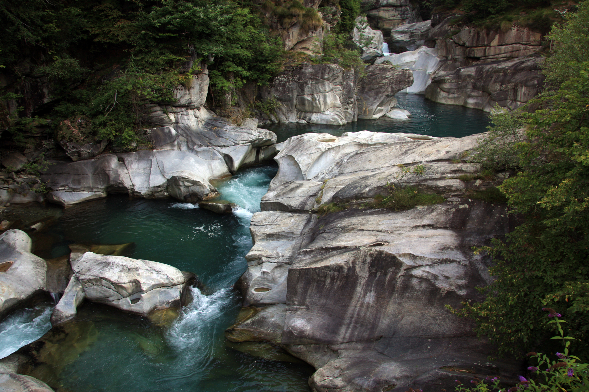
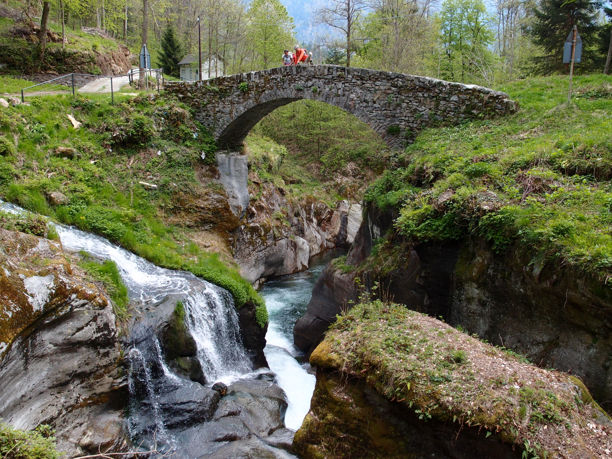
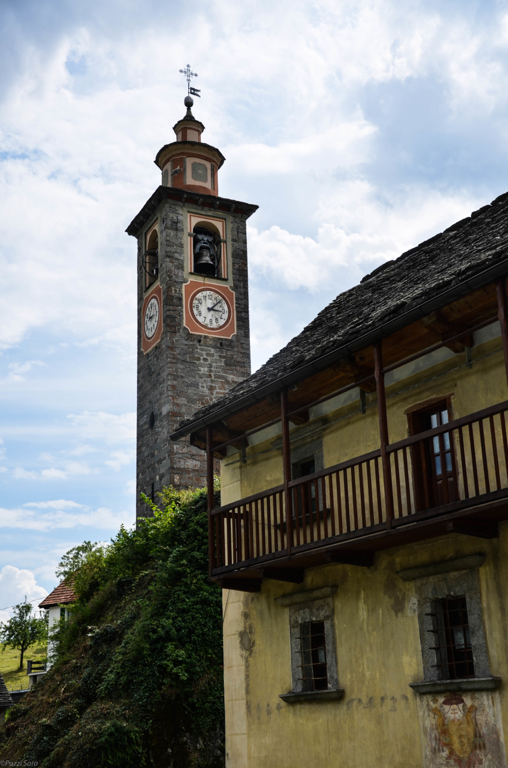
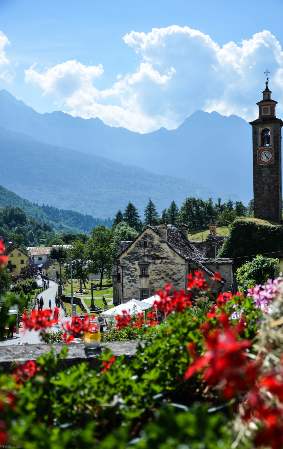
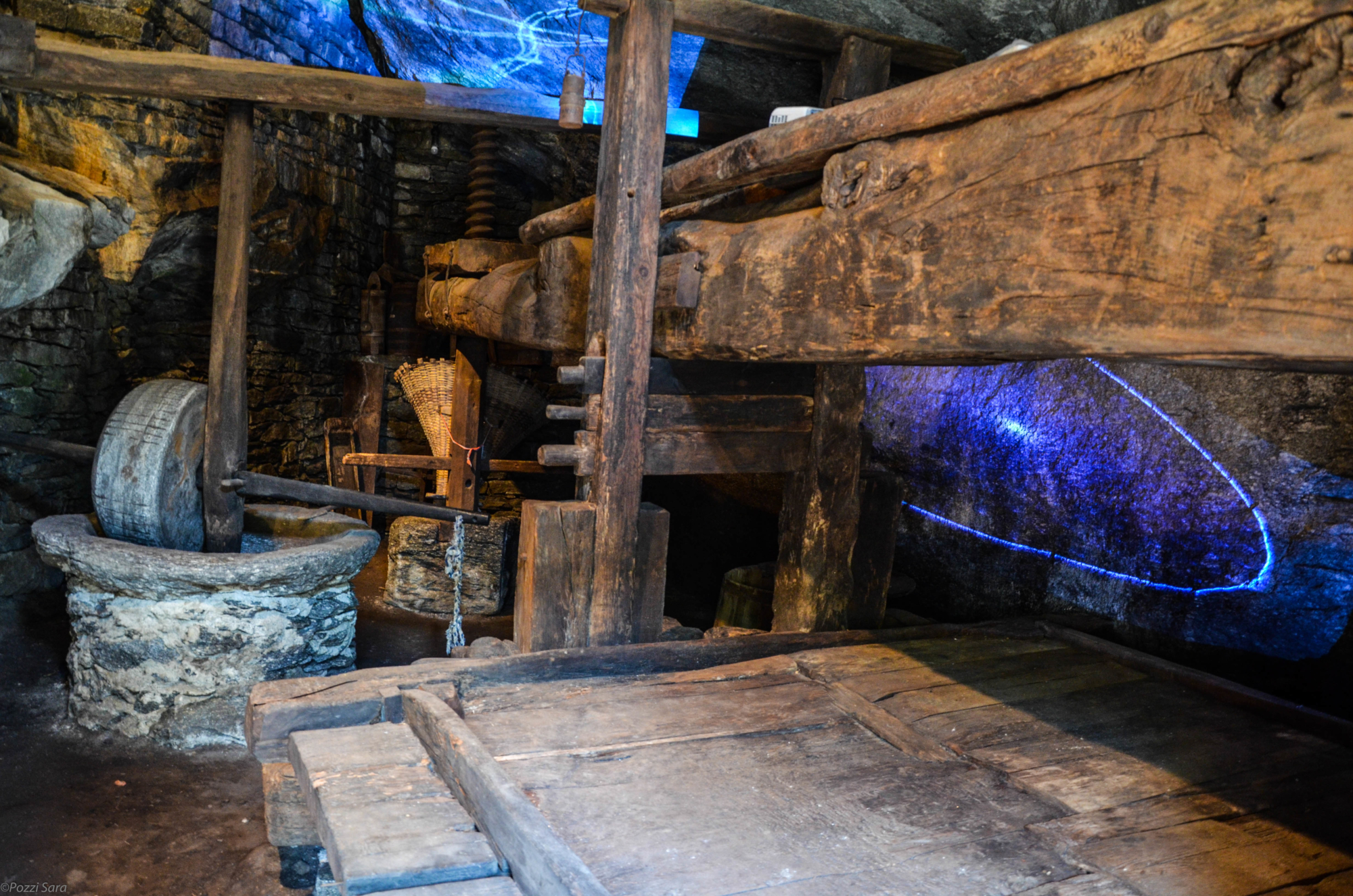
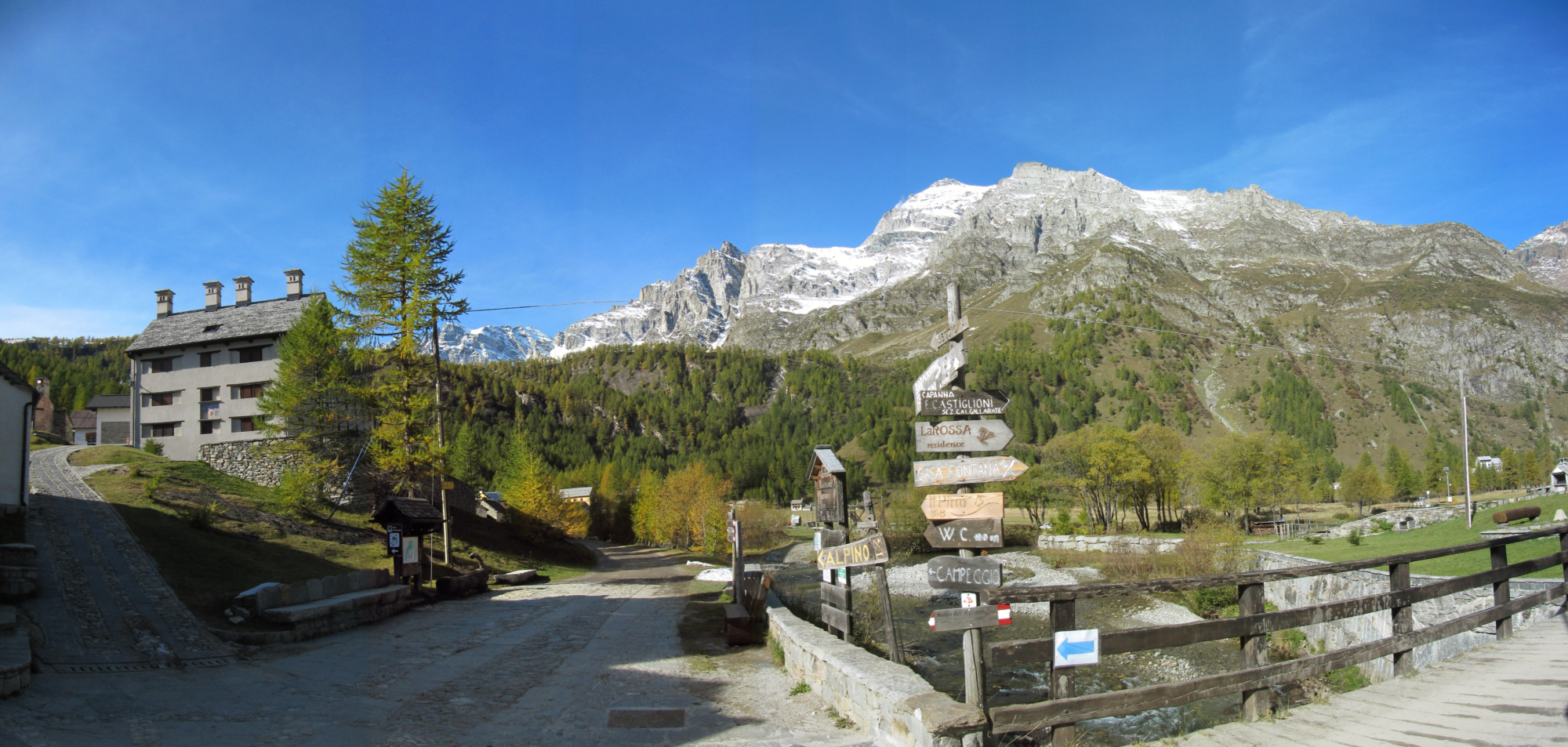
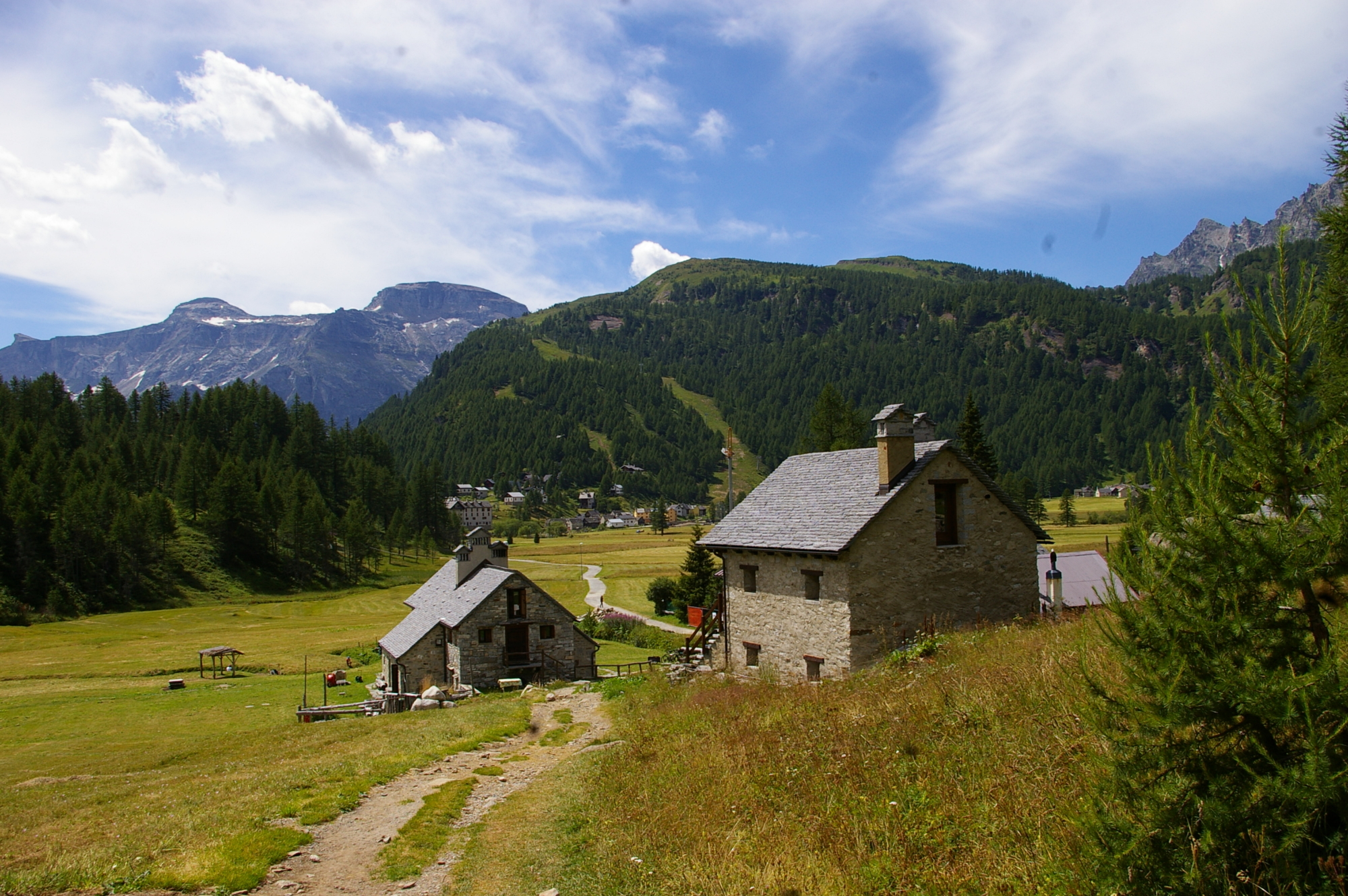
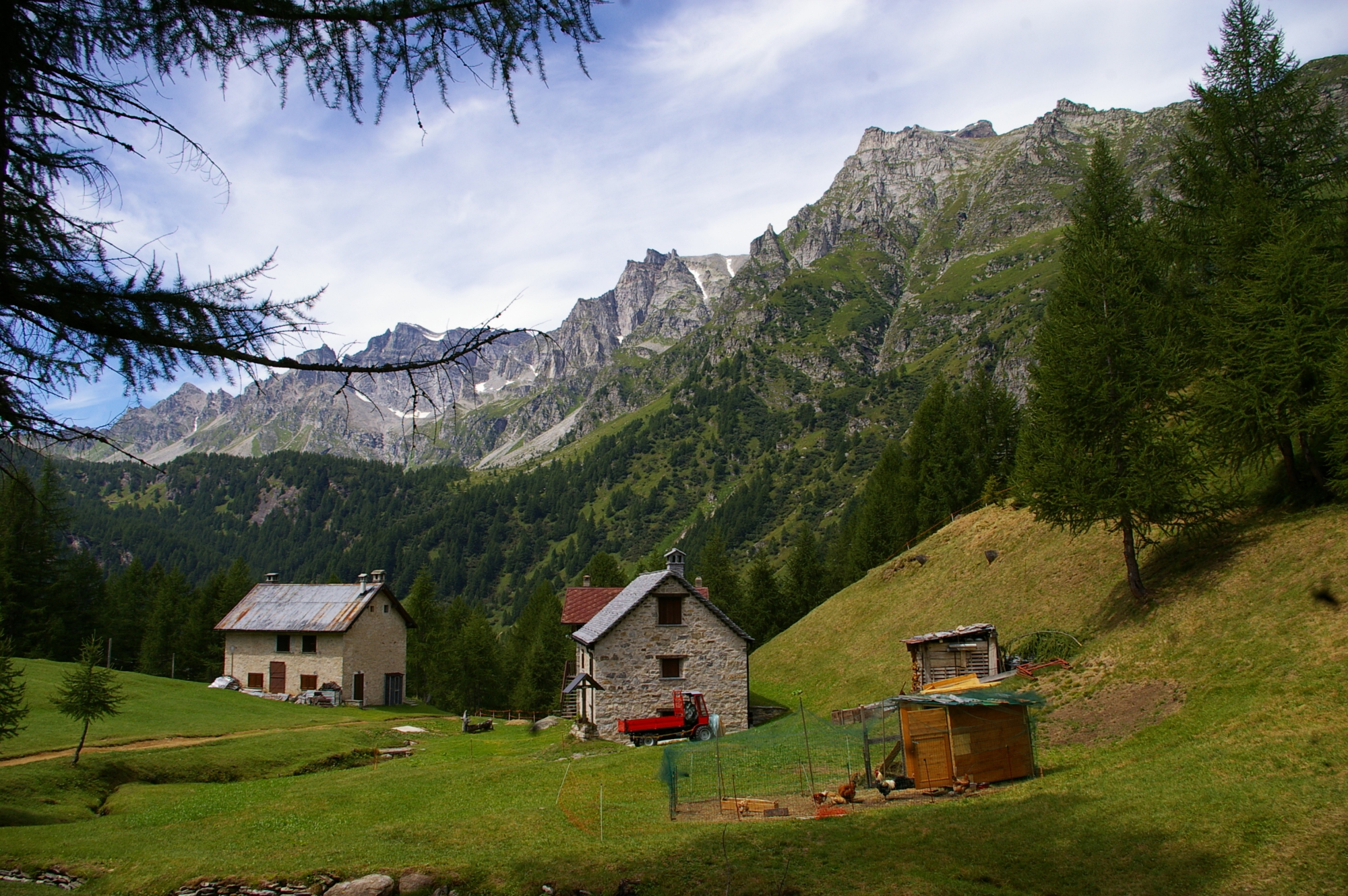
The Devero valley is a real gold mine of historic testimony and natural wonders. Baceno, with its Monumental Church of San Gaudenzio, and the hamlets of Graglia and Uresso with their ancient oratories and washhouses. Admire some stretches of the ancient mule track, the spectacular “Marmitte dei Giganti” (Giant’s kettles), the village of Croveo with its church and bell tower, lever press, beautiful houses and extraordinary stories of witches. “Treno dei Bimbi” (children’s train), a characteristic village made up of railway carriages transformed into comfortable “mini hotels”, the small village of Osso where the oratory and the 16th-century houses stand out. The Goglio-Devero mule track, still well preserved, takes you to the Devero plain where the explosion of nature creates an ever-changing show every season of the year. The climb to Crampiolo, through the beautiful larch forest, completes the excursion in this truly enchanted corner of the Ossola Valley.

Description

DISCOVER THE OTHER STAGE OF THE VIA DELL’ARBOLA:
Stage 2 – From Alpe Crampiolo to Binn

Useful info

Italian Alpine Club (CAI) site identification code

Sector M “Historic Routes” H00

Places visited

Baceno (640 m), Sports Ground, Graglia, Marmitte di Croveo, Osso, Al Passo, Goglio, Alpe Devero

Points of interest along the route

  • The Monumental Church of San Gaudenzio in Baceno (Italian National Monument)
  • Marmitte dei Giganti (Giant’s kettles) in Croveo
  • Parish Church in Croveo
  • Press in Croveo
  • Ancient mule tracks
  • Oratories of Goglio, Devero and Crampiolo
  • Alpe Devero Plain
  • Crampiolo Walser village

Accomodation

Hotels and other accommodations in Alpe Devero and Alpe Crampiolo.

Useful info

Domodossola FS International Railway Station (from Bern and Milan).
From the BUS terminal, take the Valle Formazza bus route, getting off in Baceno
Contact details: Municipality of Baceno
CAI contact details: Formazza Section

Difficulty

Medium difficulty (E)

Lenght

13,5 km

Ascent/descent

1187 m ascent / 55 m descent

Time to complete the route

4 hrs 50 min

Signage

H00

Best time of year

From late May to October

Reference map(s)

Map no. 9 scale 1:25,000 (Val Divedro) by Geo4Map/CAI
Digital maps on the following apps: ViewRanger – PDF Maps

Historic, artistic and cultural value
Natural value
Ideal for
Everybody
You will discover
Nature
Sport
Guide to itineraries and useful info
Ideal for
Everybody
You will discover
Nature
Sport
Guide to itineraries and useful info
Choose your
mountain guide
IAT di Crodo
Via Bagni, 20 28862 Crodo (VB) See map
Choose your
tour or nature guide

You might also be interested in...