Hiking – Trasquera and Bugliaga: the mountain tulip route
Difficulty
Easy
Period
Spring / Summer / Autumn

The Divedro Valley offers visitors three fascinating environments: the great basin of Alpe Veglia, between the Protected Areas of the Ossola Valley; the pastures around Monte Cistella, the central nucleus of the area that joins the Divedro Valley to the Antigorio Valley; and the plateaus of Trasquera and Bugliaga, which descend towards Monte Teggiolo. This excursion allows you to explore the initial stretch of these plateaus with their characteristic wooden and stone houses overlooking the deep gorges of Gondo.
The unique climate of this plateau has allowed the growth and spread of the rare mountain tulip (Tulipa Australis). You can admire (but not pick!) the many specimens in the pastures between Bugliaga and Balma.

Description

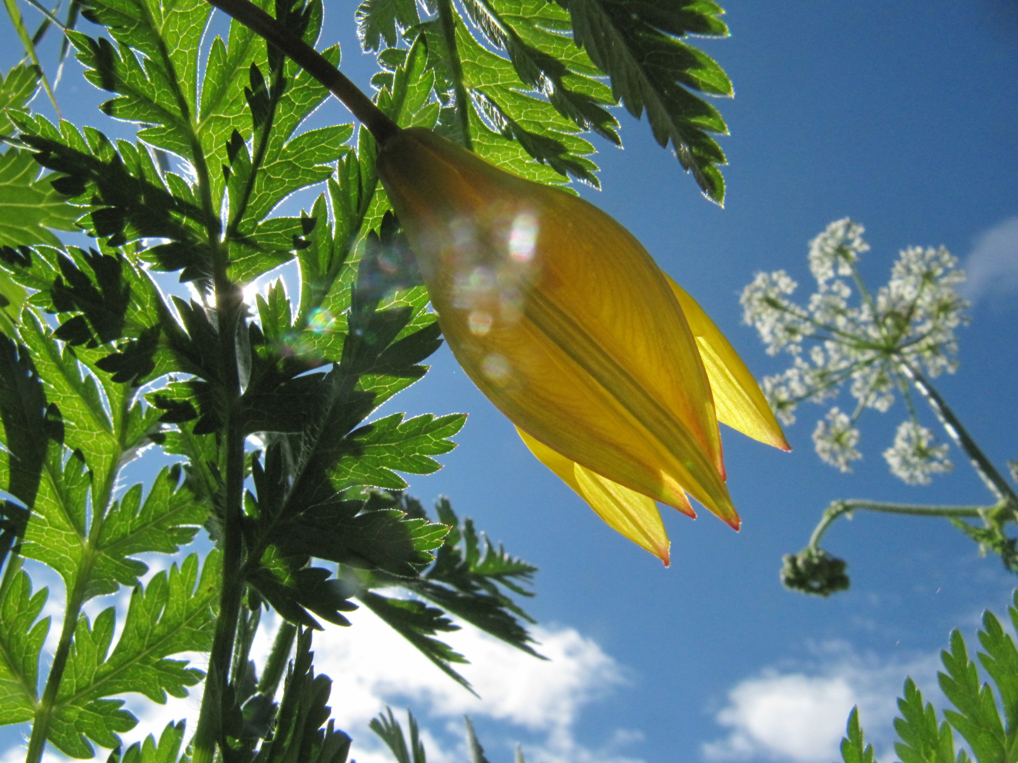
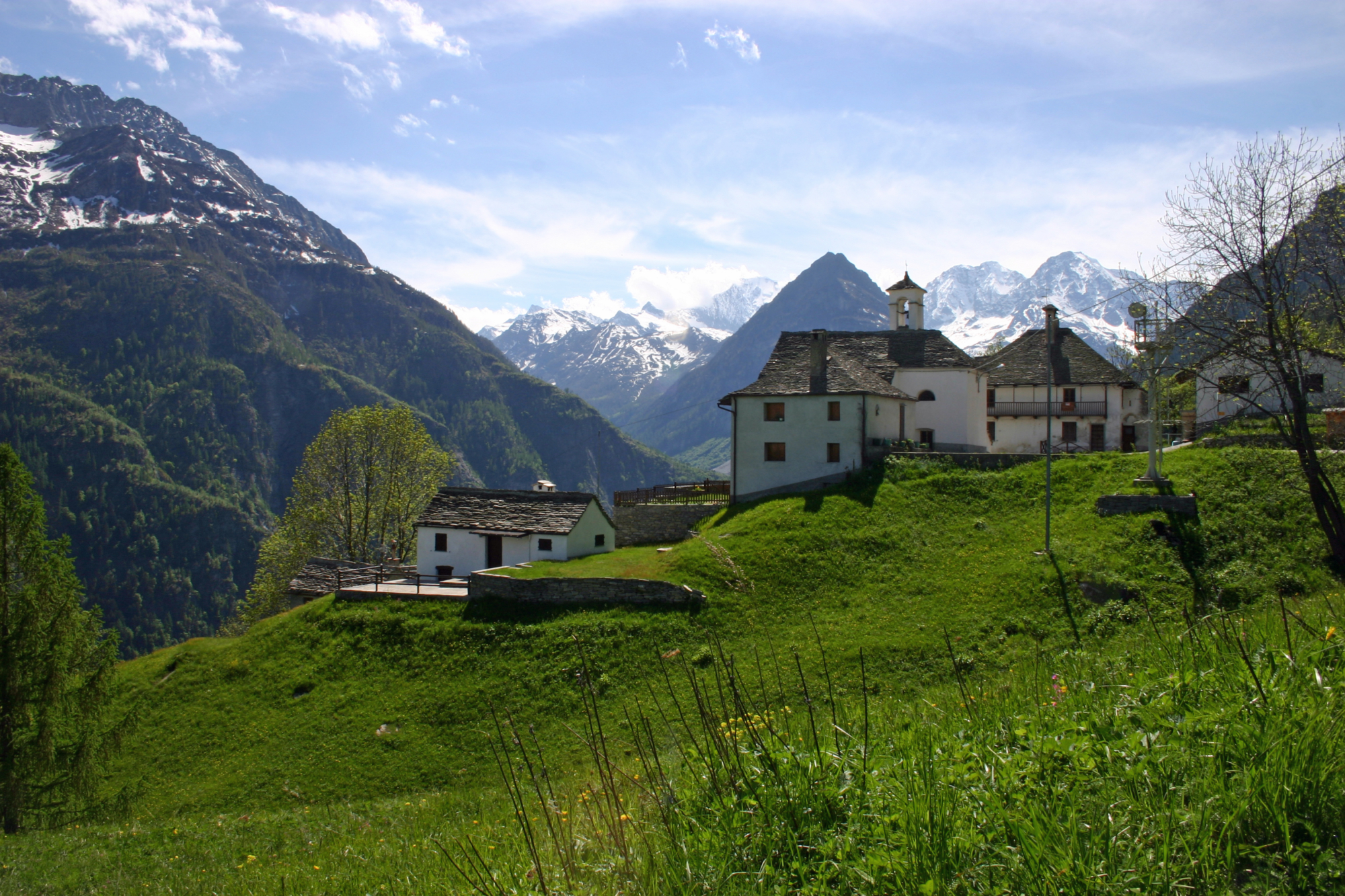
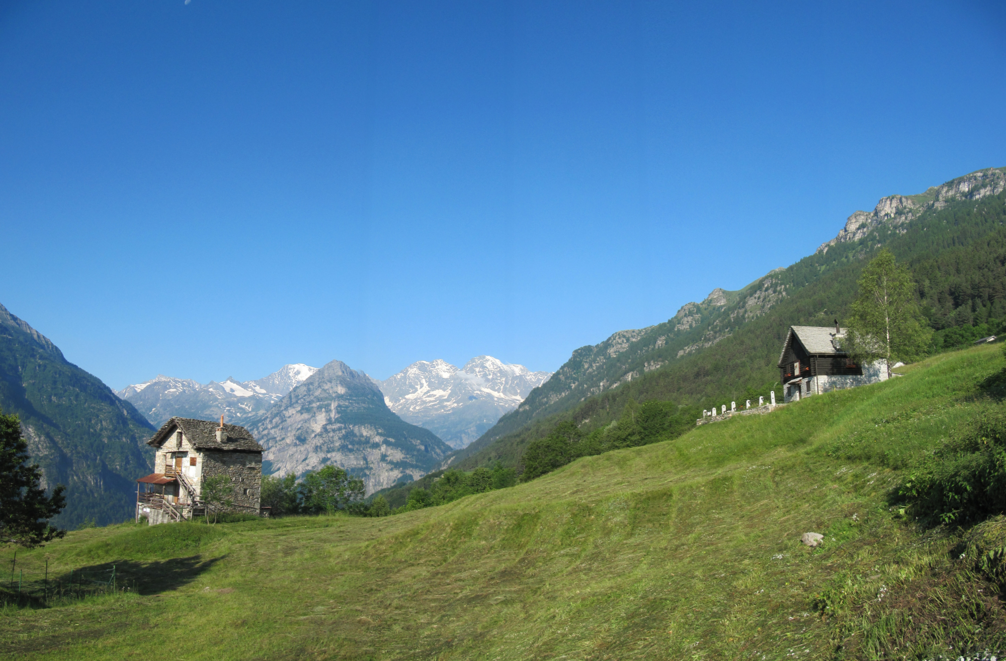
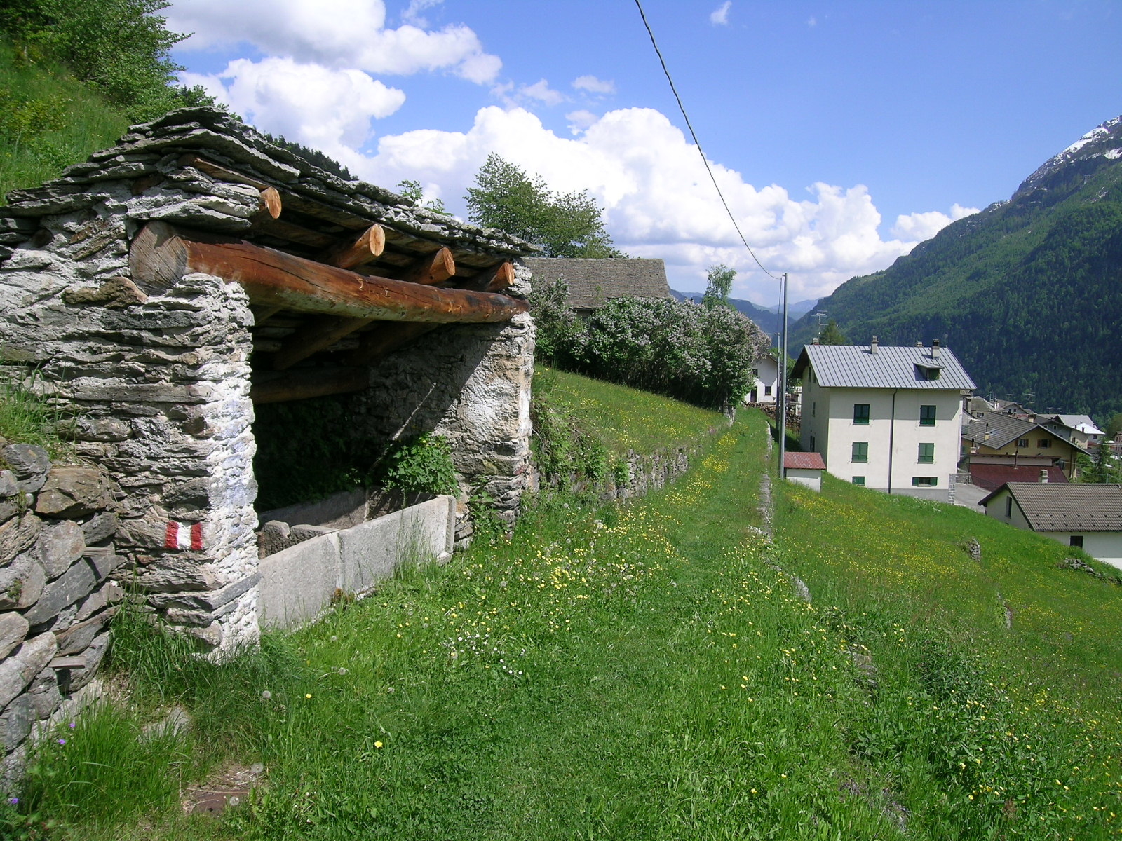
Arrive by car in Trasquera (shuttle to Trasquera departs from outside Varzo railway station). Once in the main piazza, take the mule track in the direction of Bugliaga. After passing the Oratory of Schiaffo Dentro, take the paved road for Bugliaga, leave the trail on the right and reach the junction for the Diavolino bridge (formerly called “Ponte della Cresta”). From here you continue to the spectacular “Ponte del Diavolo” (the Devil’s Bridge, initially called the bridge over the Giurva). The bridge, built over a 100 m (325 ft) deep gorge, was built in 1878 with the help of scaffolding made of 110 larch trunks. Once the construction of the bridge was completed, a gigantic fire was set to remove the scaffolding (perhaps the current name of the bridge derives from this infernal image). Continue on the road and just before reaching Bugliaga, leave the “Torre di Bugliaga” stronghold on the right. From the oratory square, go uphill along the F44 route to Balma until you cross the F32 route, through which you descend to “Cima ai Campi”: this is the area where the rare mountain tulip grows. From “Cima ai Campi” continue along the road to the Bugliaga Dentro Agritourism facility. The alpine pasture is also a wonderful vantage point over the Zwischbergen Valley and the peaks of the Simplon triptych: only a few metres separate this secluded and peaceful old village centre, which has now been beautifully restored, from the Swiss border. The route to the “Via delle Prese” and then to Gondo, the gateway to the Canton of Valais, starts here.
The way back largely follows the road that leads back to the centre of Bugliaga. From the oratory in Bugliaga, go back along the way to Trasquera, passing by the Devil’s Bridge.

Useful info

Italian Alpine Club (CAI) site identification code

Sector F “Routes” – IF21

Useful info

Contact details: Municipality of Trasquera
CAI contact details: Varzo Section
Refreshment areas: Bugliaga Dentro Agritourism

Difficulty

Easy. Given the length and duration of this route, we recommend you have a good level of hiking fitness.

Lenght

14,5 km

Ascent

535 m

Total duration

4 hrs 05 min

Recommended equipment

Walking boots.

Signage

F00 – F44 – F32 – F42a – F42

Best time of year

From May to October

Reference map(s)

Map no. 9 scale 1:25,000 of the Geo4Map/CAI
Digital maps on the following apps: ViewRanger – Avenza Maps

Historic, artistic and cultural value
Value of traditional and peasant life
Natural value
Ideal for
Everybody
You will discover
Nature
Sport
Guide to itineraries and useful info
Ideal for
Everybody
You will discover
Nature
Sport
Guide to itineraries and useful info
Choose your
mountain guide
Pro loco della Valle Divedro
Frazione San Domenico
28868 Varzo (VB)
See map
Choose your
tour or nature guide

You might also be interested in...