Hiking – Tour of the hamlets of Crodo
Difficulty
Easy
Period
Spring / Autumn

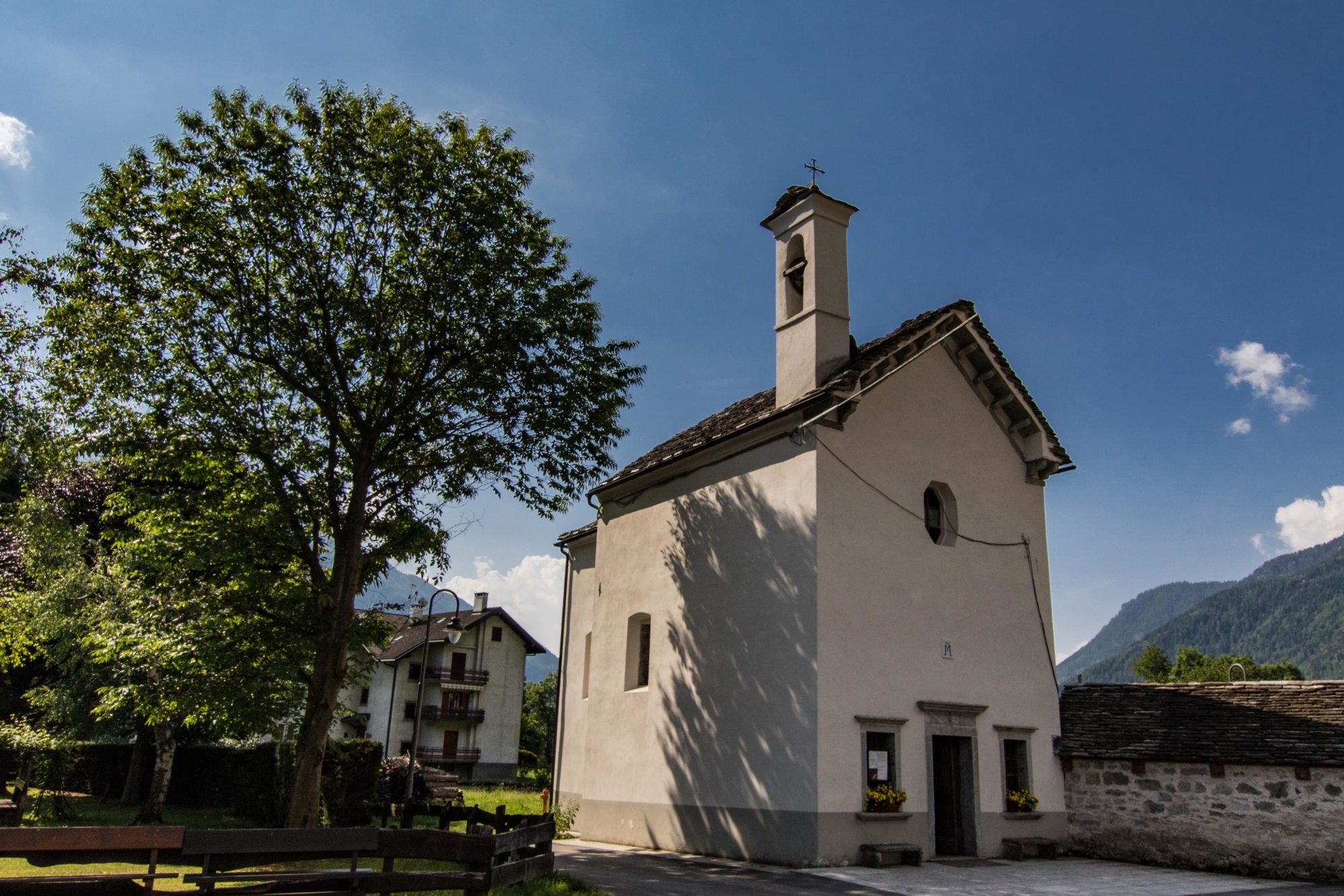
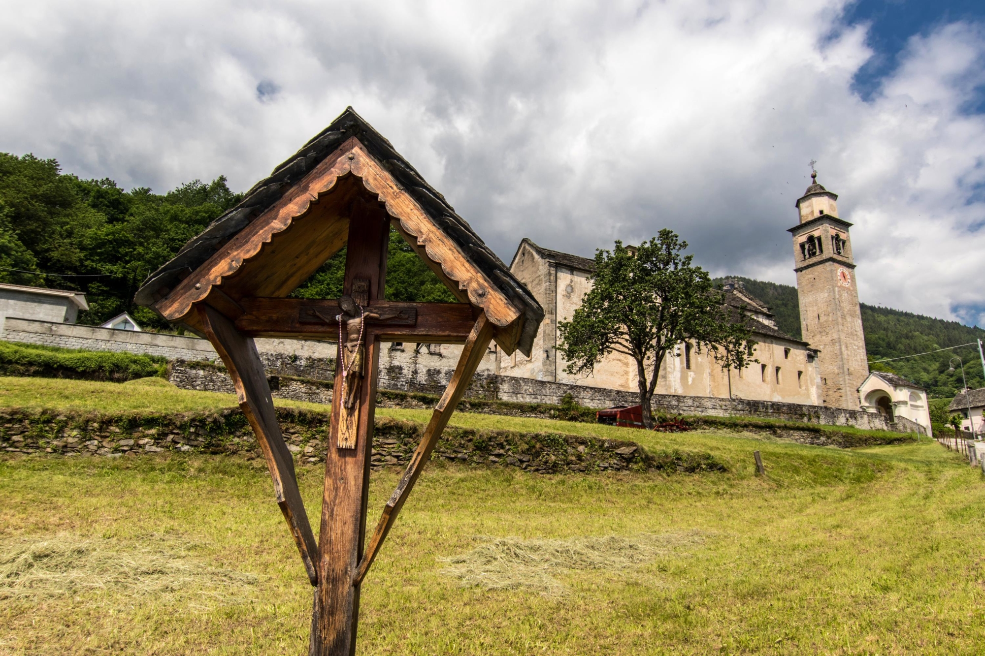
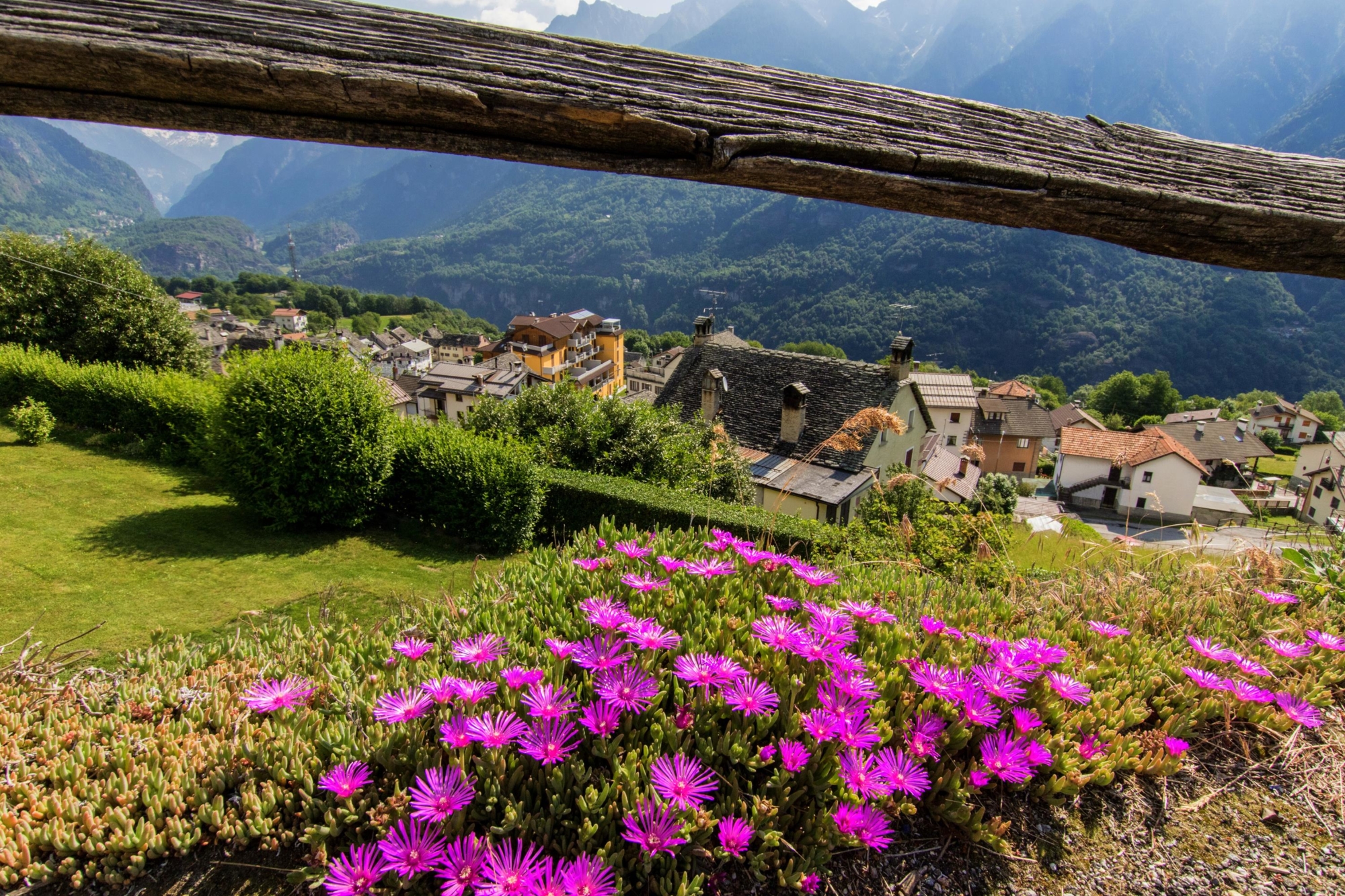
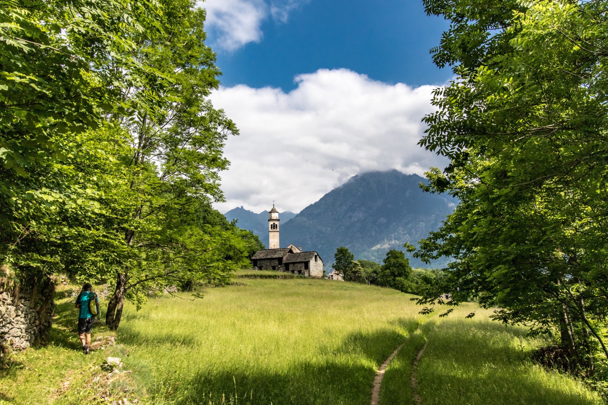
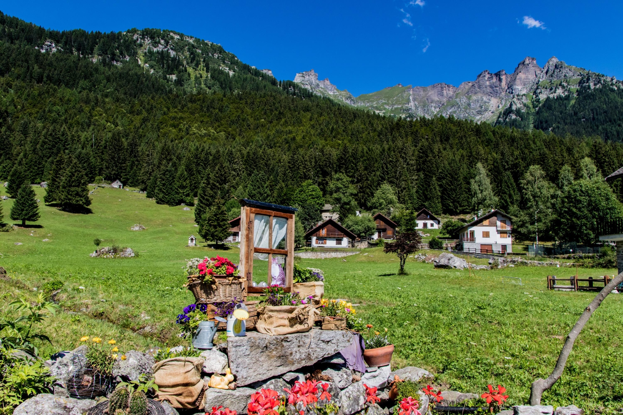
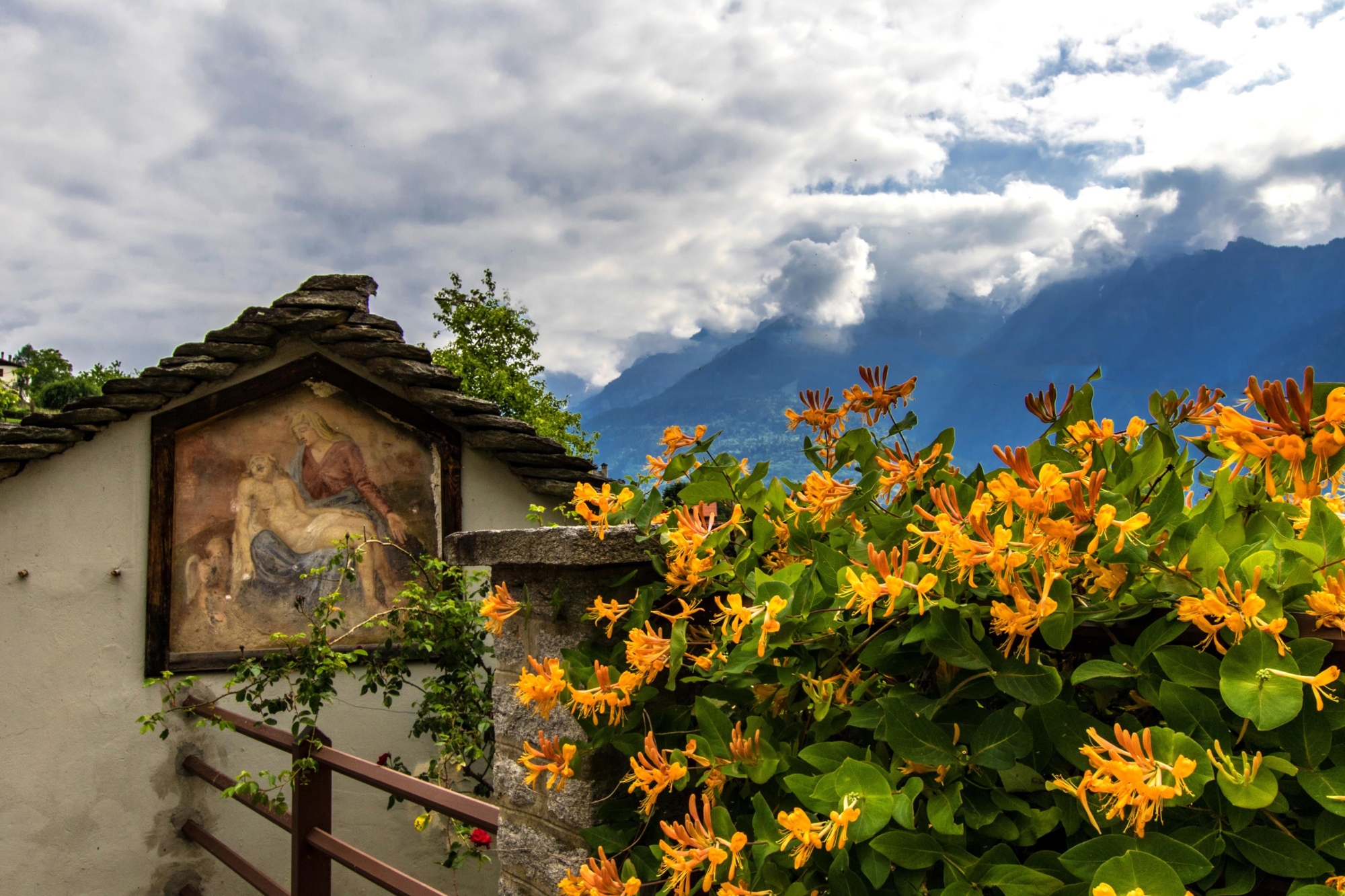
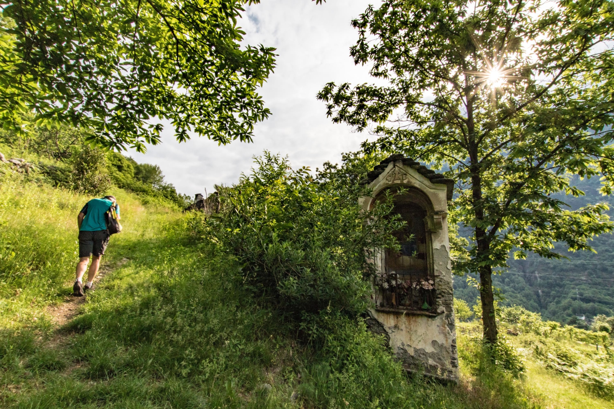
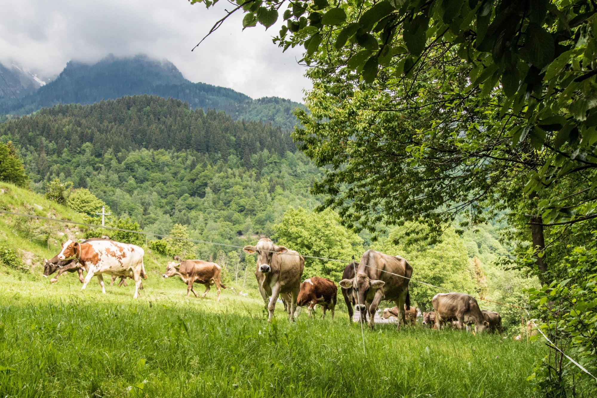
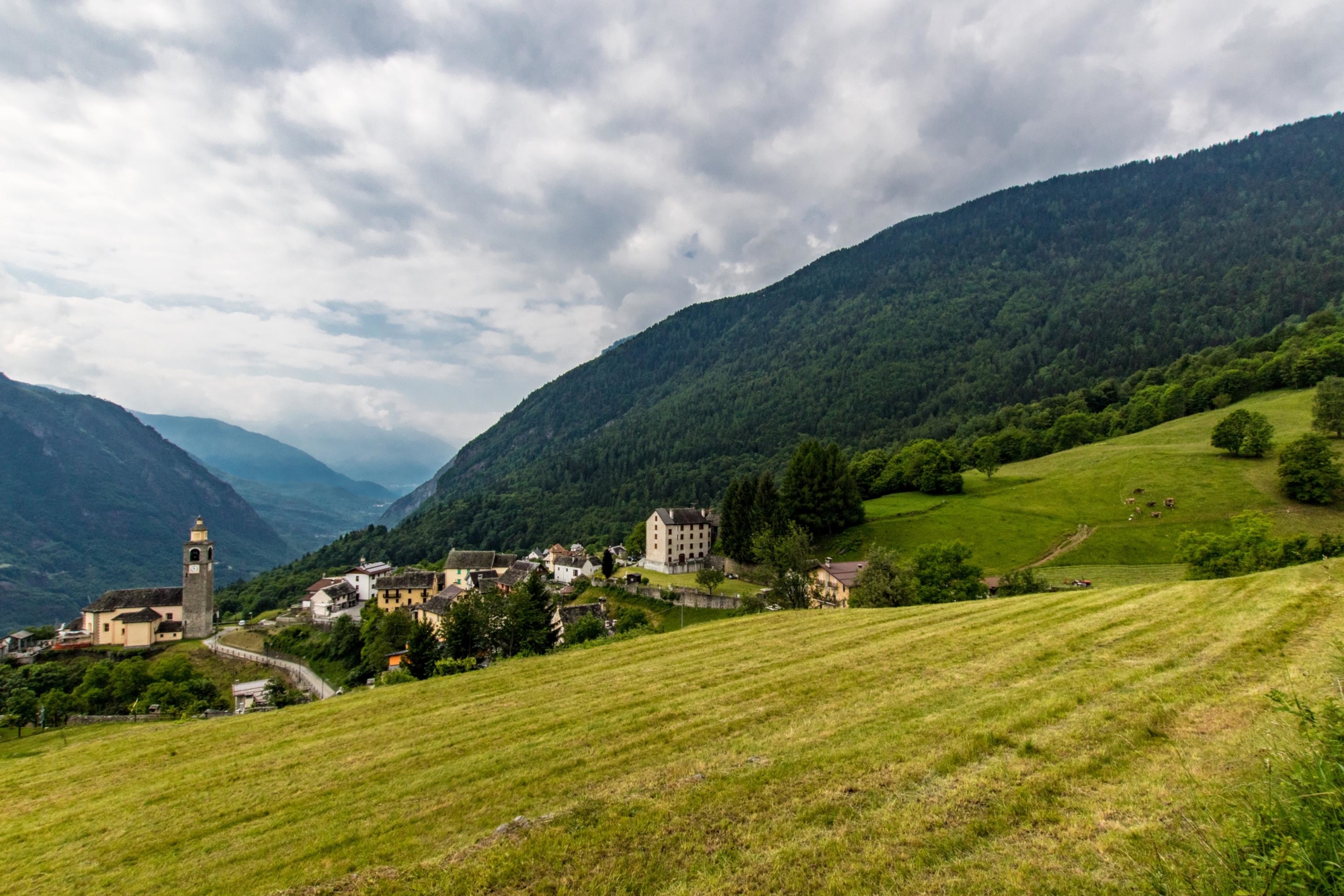
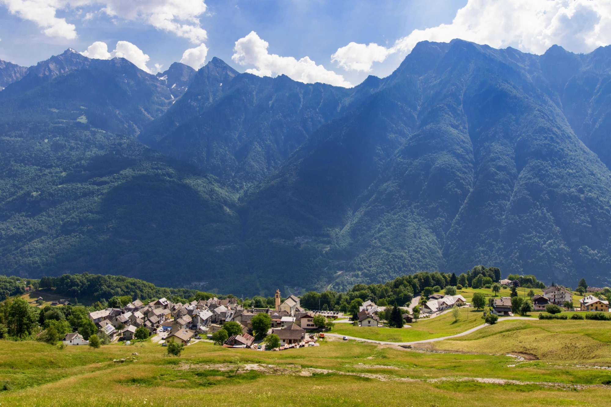
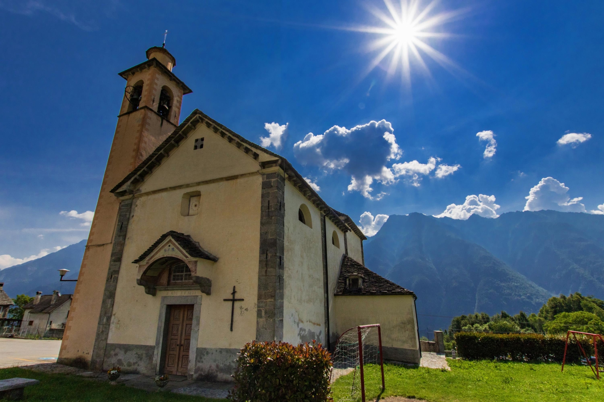
Crodo, a land of mountains, with a precious heart: the gold mines, as in the Anzasca Valley. But the real fortune of this corner of the Ossola Valley were and are its lush pastures, which are still used for breeding and are little known gems of the area. The route leads you on a journey of discovery of the unique morphology of this territory, degrading from the rugged rocks of Monte Cistella, shaped by the ancient Toce glacier. The quality of the water sources in Crodo has given rise to thermal springs and the industry of one of the most famous soft drinks in the world: “Crodino”. The high villages of Crodo contain ancient stories, which you can discover at a slow pace thanks to this route.

Description

At the arrival of the bus in the main square of Crodo, delve into village streets, following signs for the hamlet of Mozzio. Following the trail, climb on the mule track to the towns of Boarengo and Rondola, where a beautiful tower stands. Sometimes you cross the paved road that goes up to the hamlets, but, just below Mozzio, turn left to reach Smeglio, with its small sanctuary. Continue, first on the mule track and then on a stretch of road, as far as the centre of Mozzio. From here take route G07 and climb in the direction of the highest village, Foppiano, which cannot be reached via this route. Just above Mozzio, at a fork, head towards Viceno and from here take path G09 in the direction of Fariolo. Just before this last place is a detour to visit the beautiful Church of Cravegna. From Fariolo you come to the F11 route, which takes you back to Crodo, passing through the town of Navasco and the abandoned gold mine.

Useful info

Italian Alpine Club (CAI) site identification code

Sector G “Routes” – IG04

Useful info

Domodossola FS International Railway Station (from Bern and Milan).
From the BUS terminal, take the Formazza Valley bus route, getting off in Crodo.
Contact details: Municipality of Crodo
CAI contact details: Formazza Section

Difficulty

Easy. The route is not particularly difficult, as it’s mostly on mule tracks or good footpaths.

Lenght

7 km

Ascent

378 m

Total duration

2 hrs 15 min

Recommended equipment

Walking boots.

Signage

G07 – G09 – G11

Reference map(s)

Map no. 9 scale 1:25,000 of the Geo4Map/CAI
Digital maps on the following apps: ViewRanger – Avenza Maps

Historic, artistic and cultural value
Value of traditional and peasant life
Ideal for
Everybody
You will discover
Nature
Sport
Guide to itineraries and useful info
Ideal for
Everybody
You will discover
Nature
Sport
Guide to itineraries and useful info
Choose your
mountain guide
IAT di Crodo
Via Bagni, 20 28862 Crodo (VB) See map
Choose your
tour or nature guide

You might also be interested in...