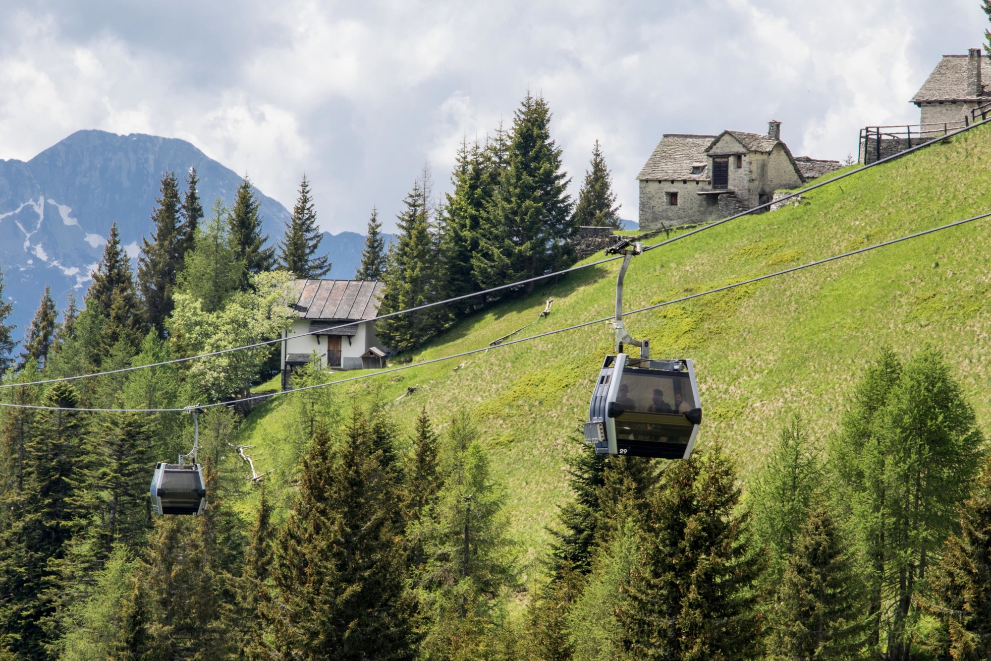
At the top station of the cable car, take the mule track to the right of the former Ratagin Refuge (M25-SI-GTA). This is a wide, well-signposted uphill road that after a flat stretch narrows to a mule track that is never too steep as far as Bocchetta di Moino (1974 m – 6476 ft).
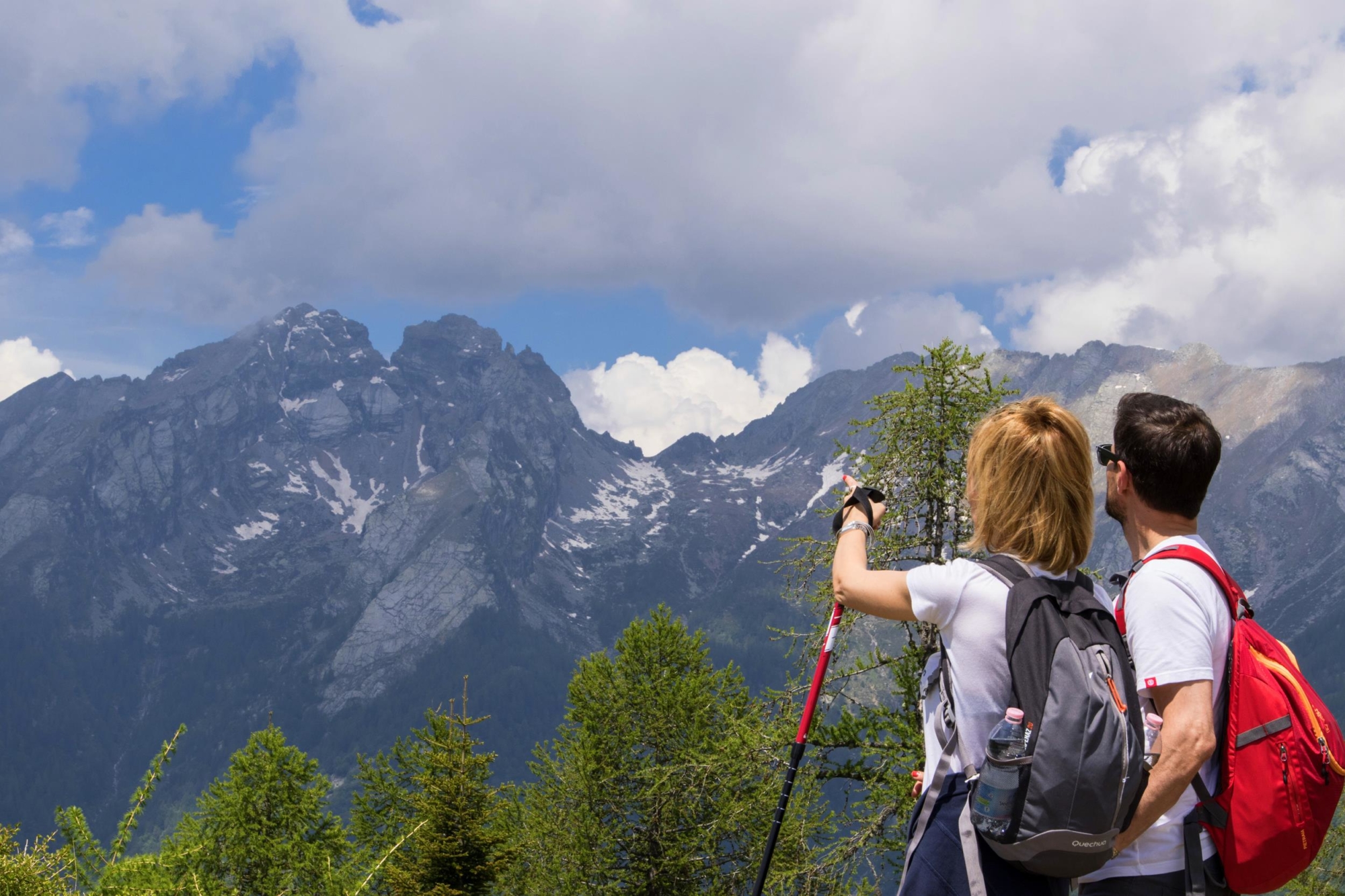
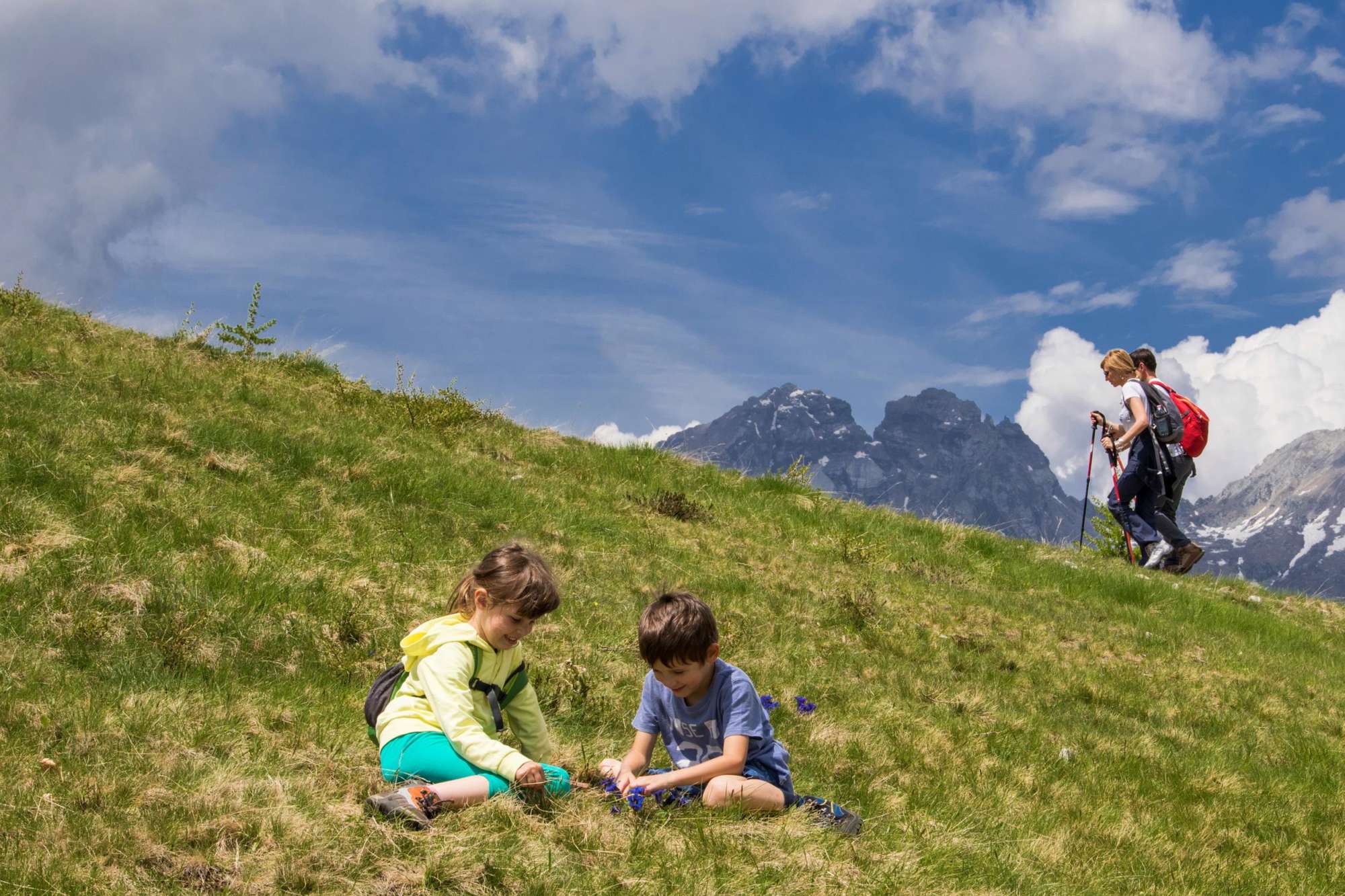
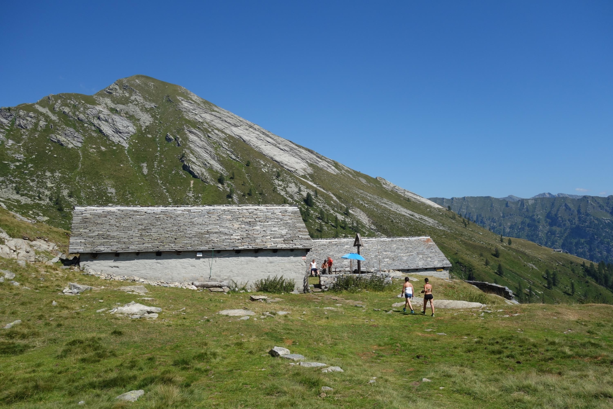
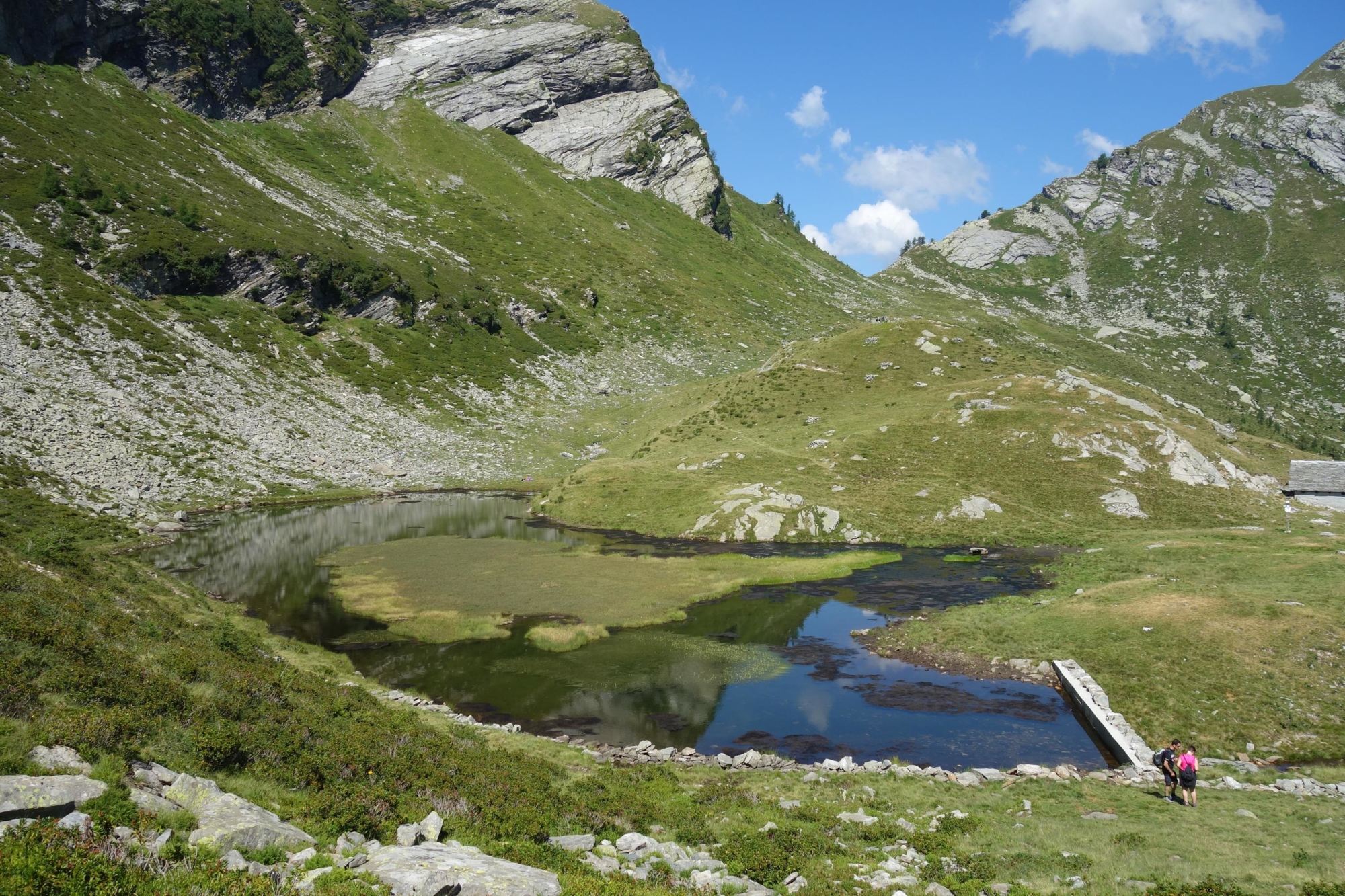
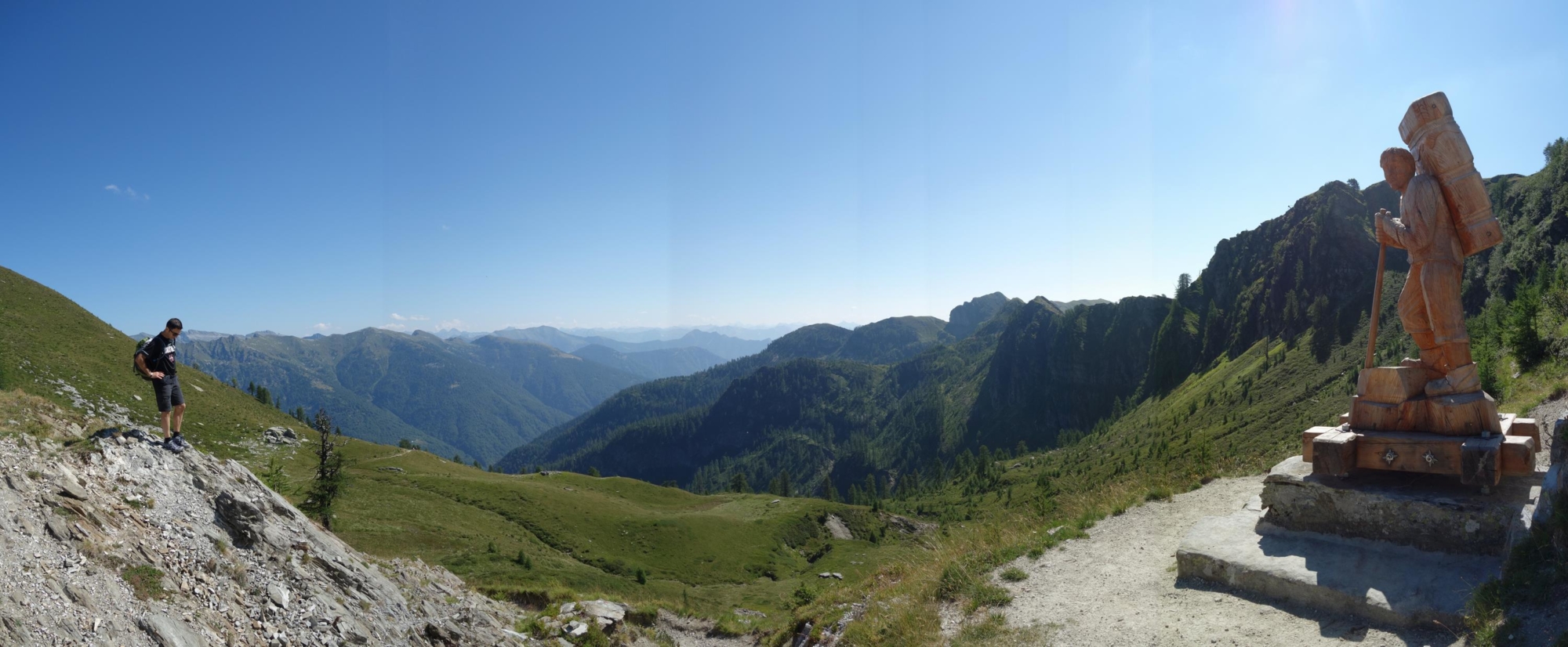
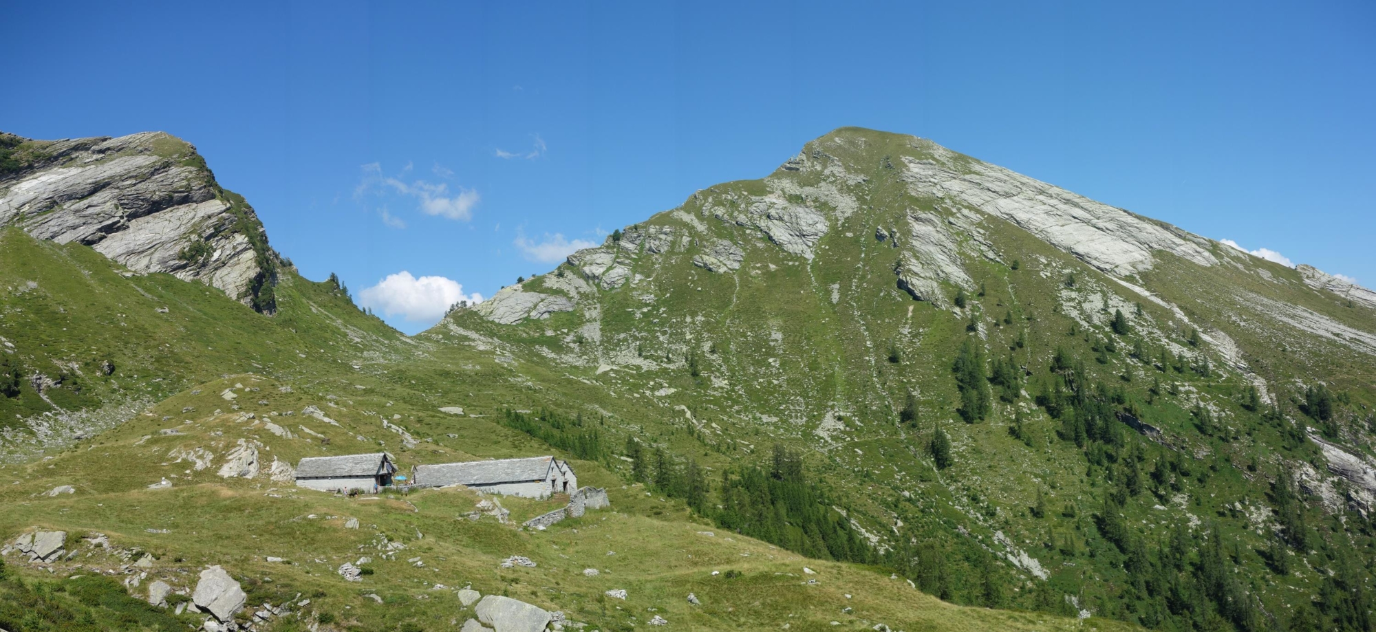
During the ascent the view is remarkable: the towns and villages of the Vigezzo Valley nestled in the basin between two mountain ranges; further west, the long chain of peaks over 4000 m (13,000 ft) separating the Ossola Valley from the Swiss Canton of Valais: Monte Rosa, Mischabel, Weissmies; to the south, the mountains of the Val Grande National Park. Closer, in a west/north-west direction, is the Arvogno Valley with its mountain pastures, some of which have been transformed into holiday homes, and around them the Pioda di Crana and the Pizzo Scheggia. After passing Bocchetta di Moino, descend along a well-marked mule track in the upper Onsernone Valley, rich in woods and dotted with high mountain pastures. Along the way you meet the first lake of Moino (1881 m – 6171 ft) and, immediately after, the former Greppi Refuge. The path becomes flat and shortly after you get to the second lake and Alpe di Ruggia (the latter is still “inalpata” – the traditional term for working and grazing cattle on the mountains – in summer and you can therefore taste and buy excellent mountain cheese).
The third lake is located higher up and can be reached by a gentle path, which is not too visible at first, climbing from the second lake in a southerly direction. Below, the Onsernone Valley enters Swiss territory after a short stretch and descends towards Locarno. The return journey is along the same route as the outward journey, taking into account the cable car timetables to get back downhill.