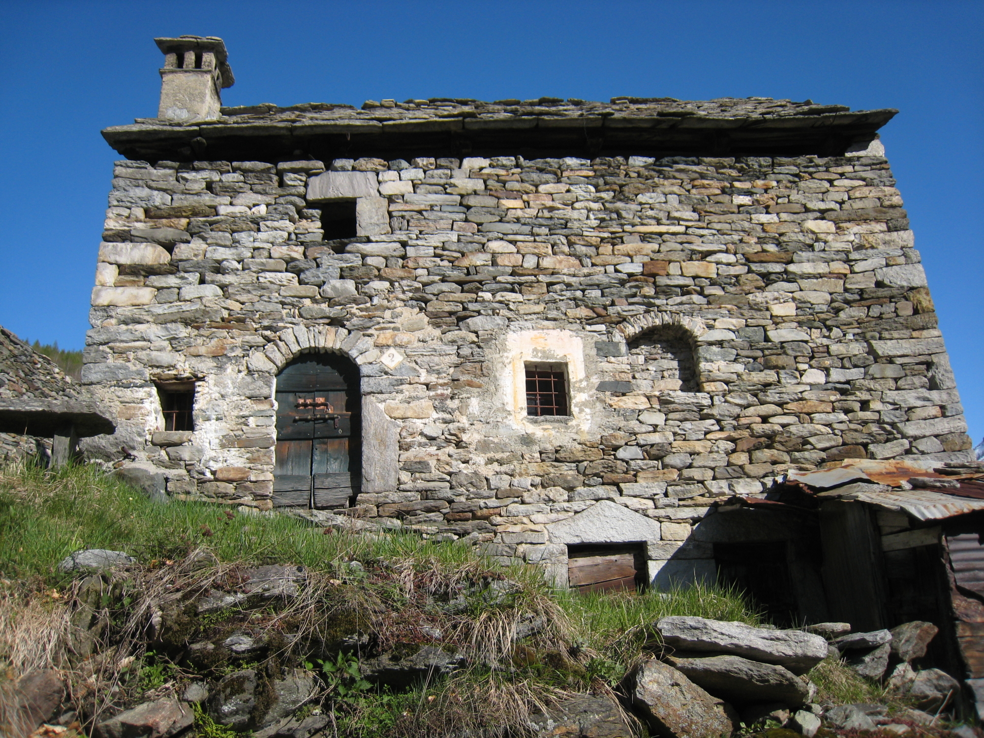
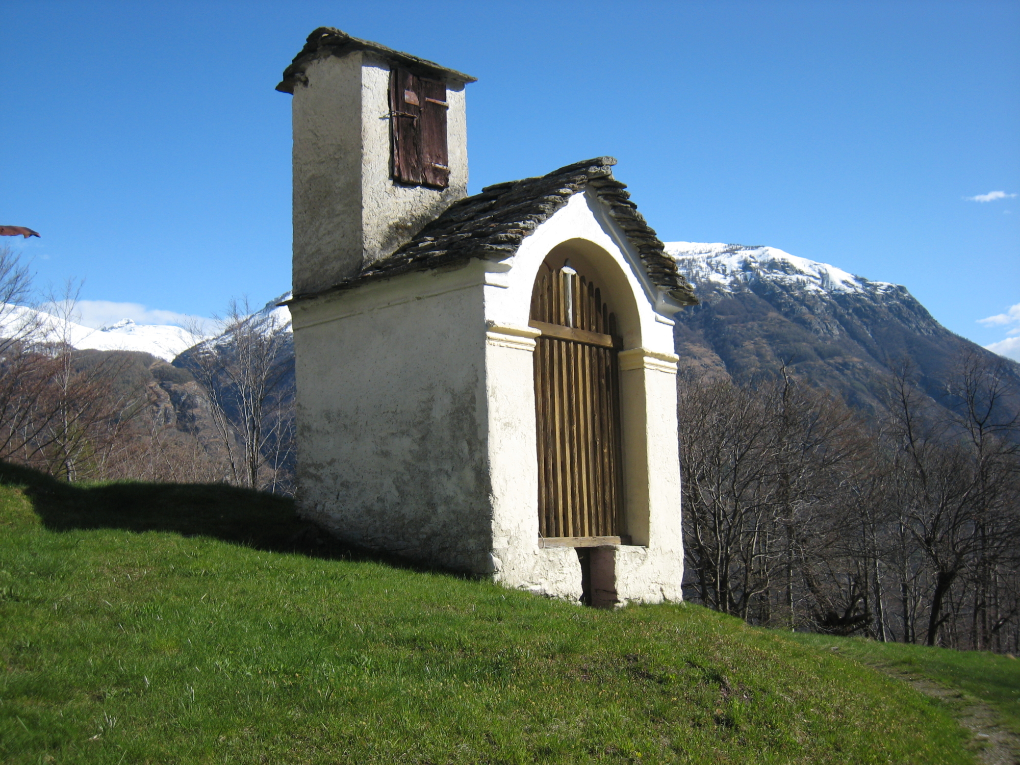
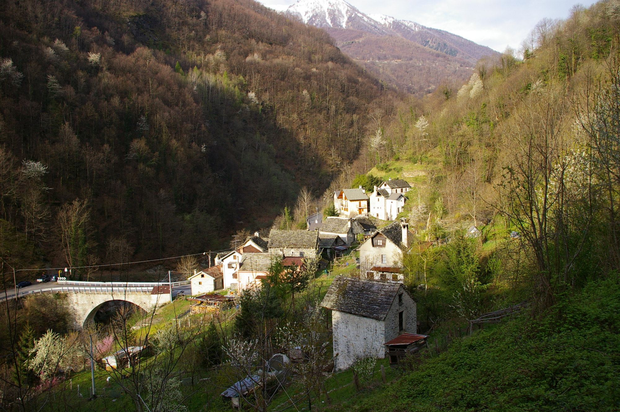
You can reach the hamlet of Torno, a few kilometres from Domodossola, by car or by bus. Downstream of the bridge over the Bogna river, you start your climb, coming across Alpe Torno and a chapel surrounded by beech trees, until you reach the village of Bei. Go up to the tall houses and after the fountain, cross the path to the small village of San Marco. Take the path to Pontasca and at the junction with the trail, head towards the chapel and follow the trail until you reach a new junction. Go uphill, cross the trail again and finally reach Pontasca. The path continues along a flat stretch, crossing several watercourses and arriving at Crestapiana. From the chapel, go down along a comfortable path to a view point just before the village of Pioi. Cross the centre of the settlement and turn right, following signs for San Marco. Go down through centuries-old beech trees past Alpe Foibello and then reach the Church of San Marco. Reach the chapel at the crossroads to the cemetery by taking the old mule track, then continue to another chapel and immediately after reach the arched bridge over the river Bogna, which gives its name to the valley, and the road to Bognanco. Go down towards Domodossola and in three minutes you’ll reach the bus stop. To get back on foot to Torno, continue on the paved road past the junction for Camparione-Monteossolano, the settlement of Gabbio and finally reach the bus stop in Torno. Alternatively you can reach Bognanco Fonti by staying on the paved road, passing the junction for Messasca, the junction for San Marco, the Hotel San Marco and the junction for Pioi with the bus stop.