Hiking – The hamlets of Castiglione – “The bread route”
Difficulty
Easy
Period
Spring / Autumn

The wise work of man on the steep slopes of the mountains has transformed and shaped residential areas and cultivated terraces in perfect harmony with nature. In this town in the Anzasca Valley, history, art and nature come together to create a unique and fascinating landscape. The hamlets of Castiglione, around the central nucleus where the church stands, offer splendid typical houses, chapels, ovens, mills, oratories and the stunning centre of Colombetti, a rare example of perfectly preserved alpine architecture.

Description

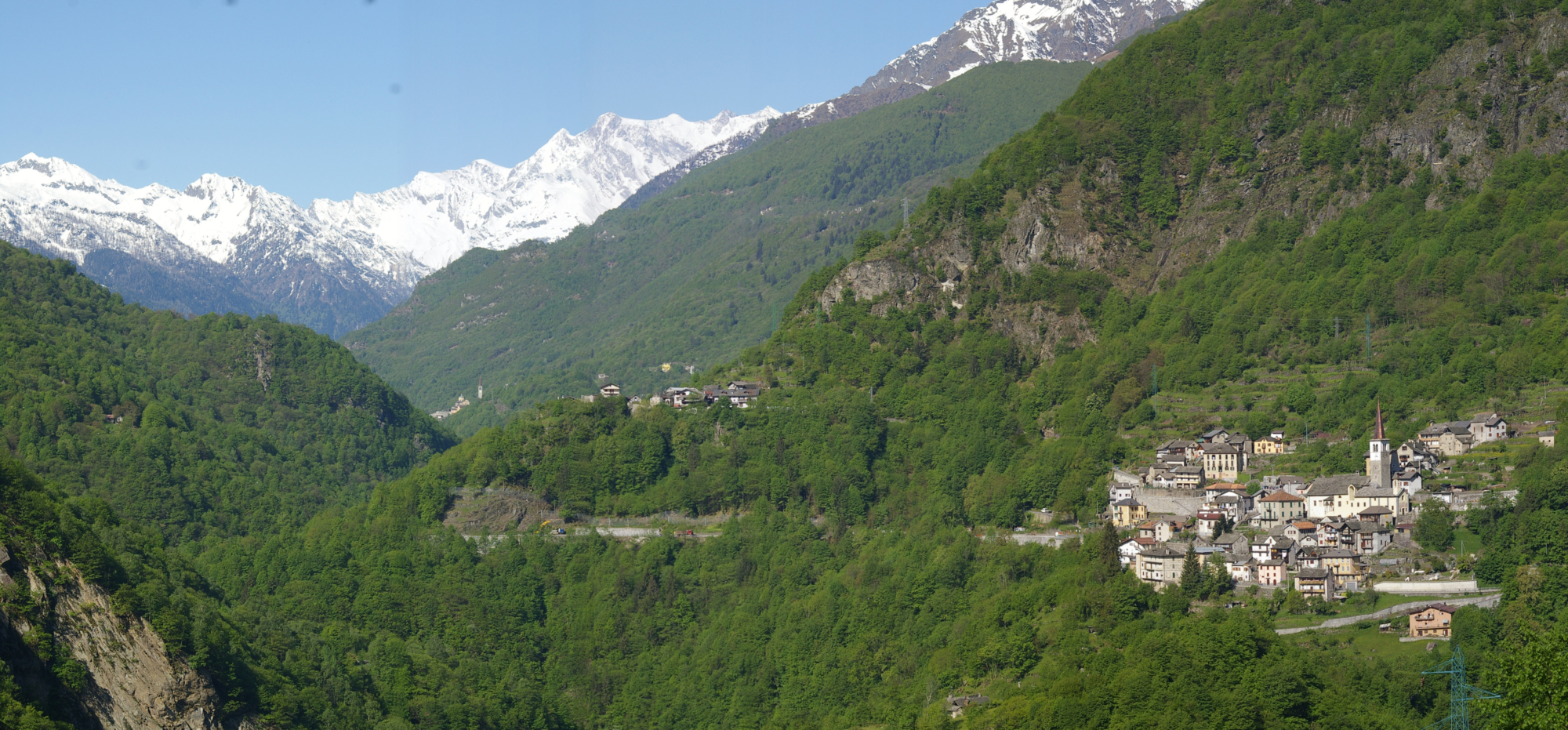
Starting from the centre of Castiglione, where the bus stops, go up to the parish church dedicated to San Gottardo Vescovo, with the square in front dedicated to the two partisans killed by the Germans, Aldo Saglio Salti and Sergio Ionghi. The trail then descends to the wonderful hamlet of Colombetti.
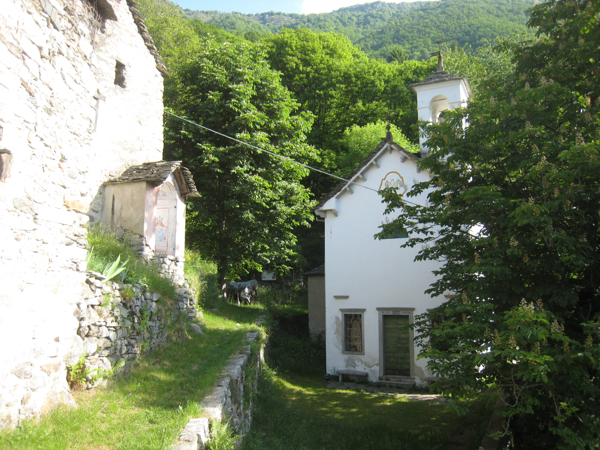
From Colombetti, return along the road to Urià and, after a short climb up some steps, follow the paved road that leads to the high hamlets and the village of “Case Paita”. Here take the mule track on the Stra Granda in the direction of Piedimulera as far as the hamlet of Meggianella. Returning towards Castiglione, take the mule track that goes up to the village of Borca and continue towards the hamlet of Cà. From here you’ll reach the 17th-century church of the hamlet of Selvavecchia, dedicated to the “Madonna della Neve”.
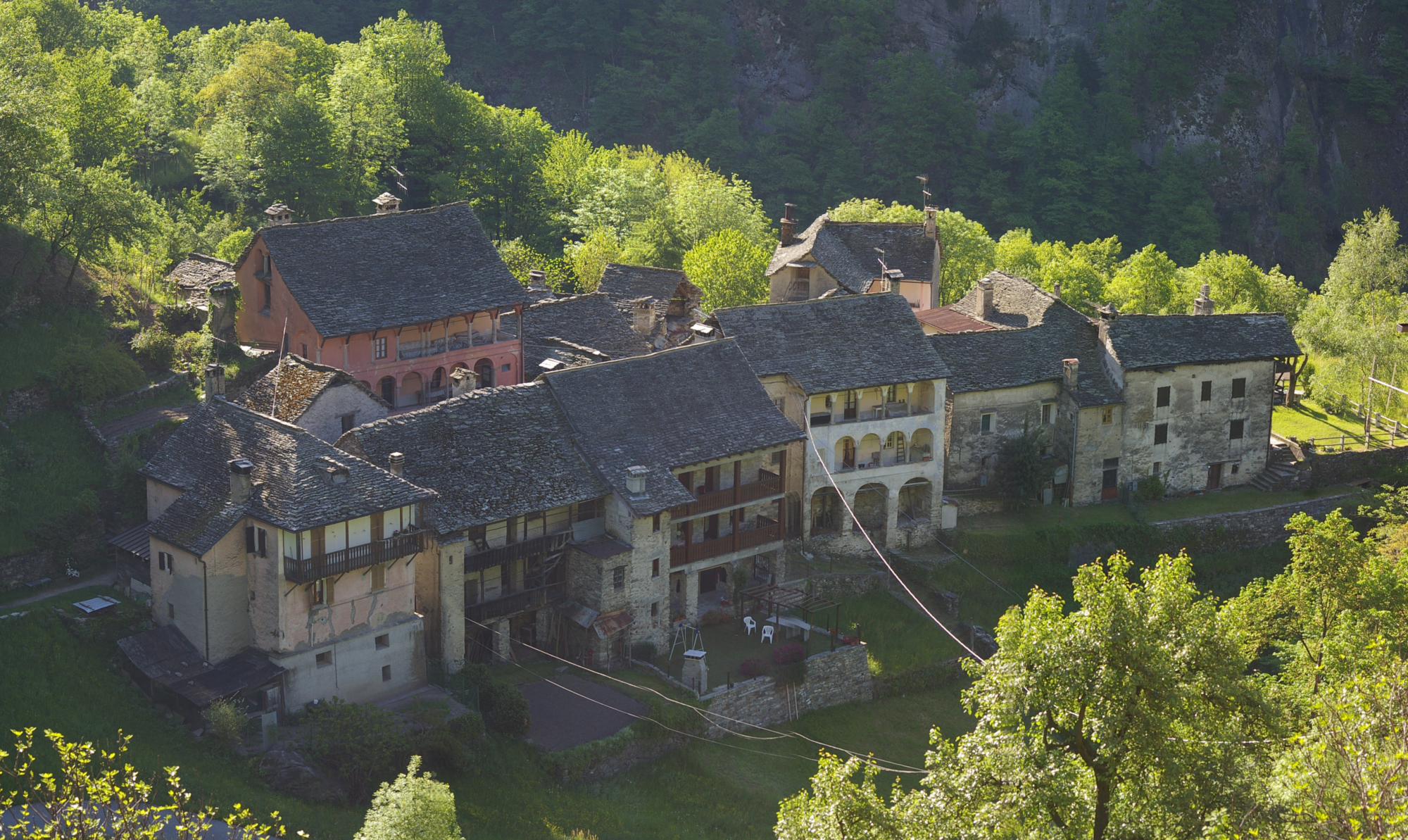
Walking along the mule track that crosses the old village and passes a wash house, you pass two ancient fountains to reach the Spagnoli hamlet, where you can admire an ancient oven for baking bread. From the last house overlooking Castiglione continue along an almost flat path to the hamlet of Cresta, whose houses retain their rural appearance of yesteryear.
From the small church, take the mule track to reach the hamlet of Villasco, which still has a beautifully restored mill, mulino dul Gabriel, and an oven for baking bread. Finally, descend towards the hamlet of Pero and return to your starting point, in the centre of Castiglione.

Useful info

Italian Alpine Club (CAI) site identification code

Sector B “Routes”– IB03

Useful info

Domodossola FS International Railway Station (from Bern and Milan).
From the BUS terminal, take the bus for Macugnaga-Valle Anzasca, getting off in Castiglione.
Contact details: Municipality of Calasca
CAI contact details: Piedimulera Section

Difficulty

Easy. The majority of the route is along mule tracks.

Lenght

6,5 km

Ascent

430 m

Total duration

2 hrs 45 min

Recommended equipment

Walking boots

Signage

B00

Reference map(s)

Map no. 6 scale 1:25,000 of the Geo4Map/CAI
Digital maps on the following apps: ViewRanger – Avenza Maps

Historic, artistic and cultural value
Value of traditional and peasant life
Ideal for
Everybody
You will discover
Nature
Sport
Guide to itineraries and useful info
Ideal for
Everybody
You will discover
Nature
Sport
Guide to itineraries and useful info
Choose your
mountain guide
IAT di Macugnaga
Piazza Municipio, 6
28876 Macugnaga (VB)
See map
Choose your
tour or nature guide

You might also be interested in...