Hiking – San Bernardo, the Monscera Pass and Lakes
Difficulty
Easy
Period
Summer

This route covers some of the splendid landscapes of the upper Bognanco Valley, a part of the Ossola Valley where alpine lakes and ancient peat bogs feed streams that contribute to forming the waterfalls for which this valley is internationally renowned – also and especially for canyoning enthusiasts – as the “valley of the 100 waterfalls”.

Description

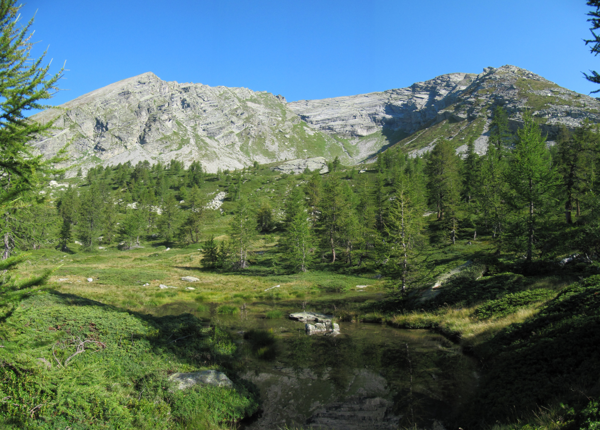
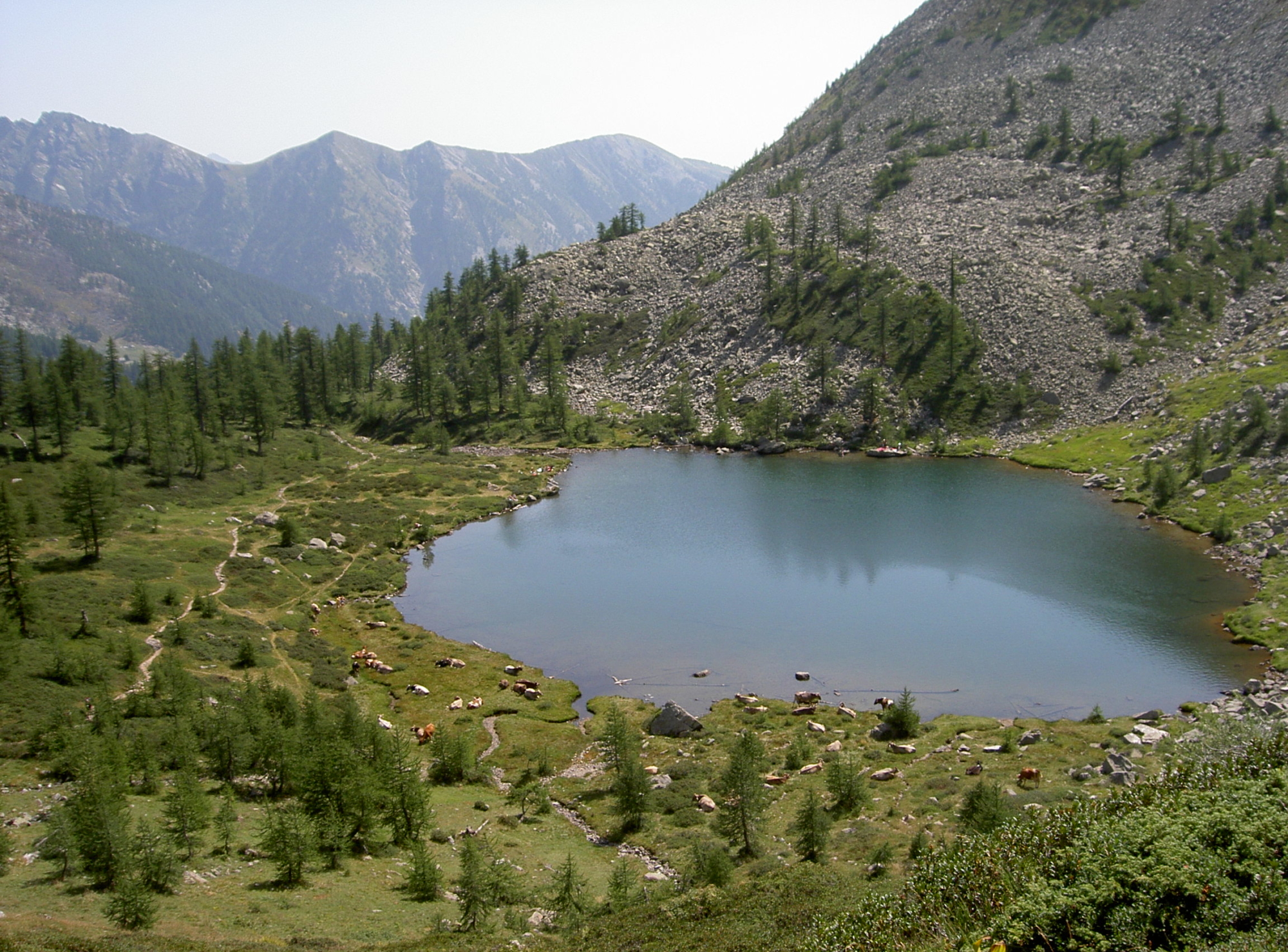
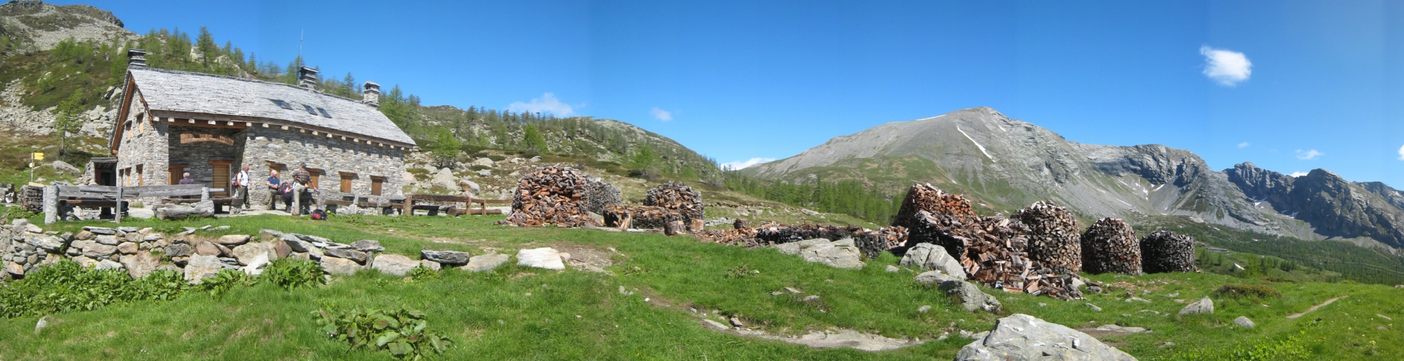
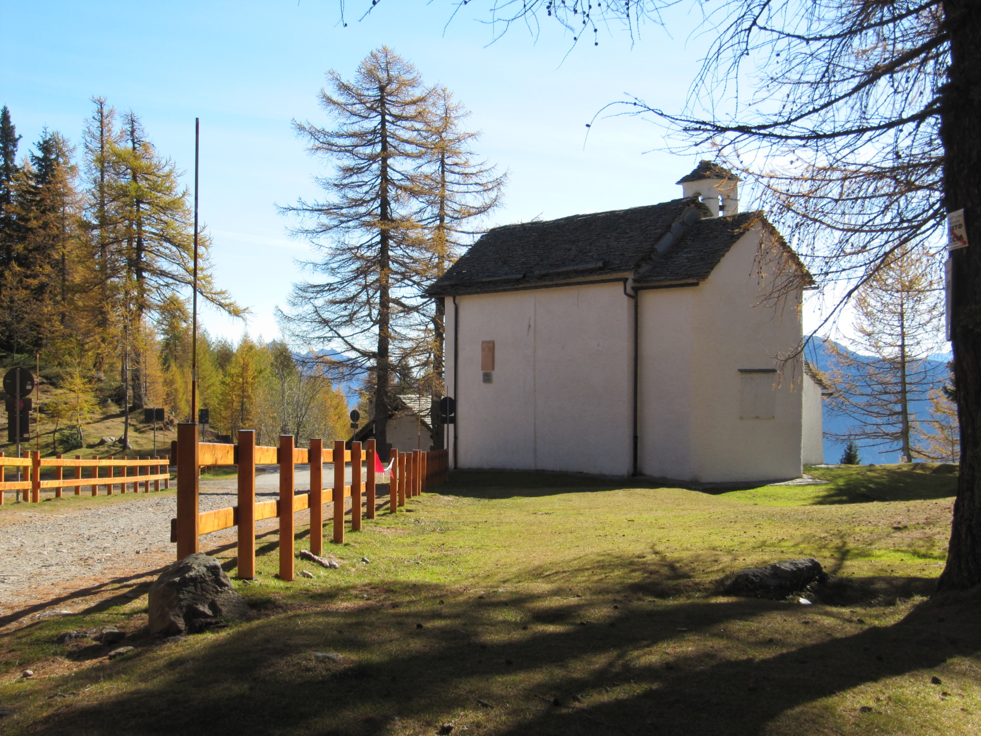
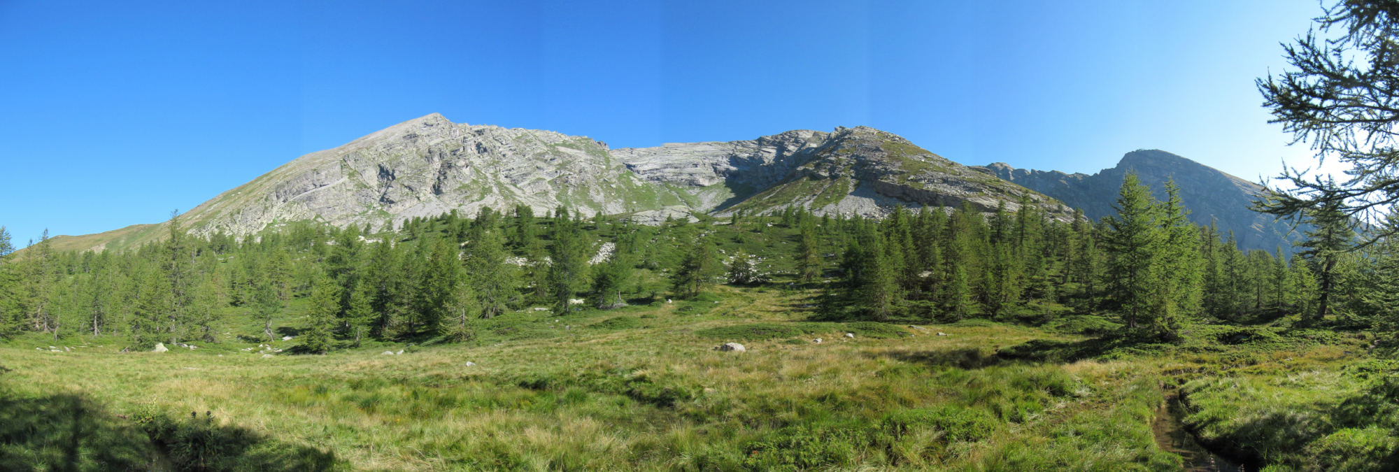
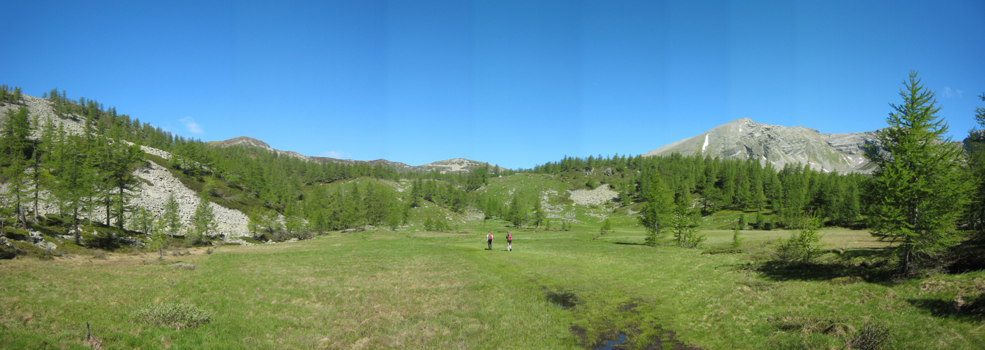
By car, travel to the end of the Bognanco Valley road, following signs for Alpe San Bernardo. Leave your car in the car parks and take the farm track on the right that goes into the fir forest to reach a junction where the path begins. The route begins to climb until it reaches a vast plateau characterised by an extensive peat bog, at the end of which you continue uphill, reaching a ruined hut to reach Ragozza Lake. The route climbs slightly to reach a hump and then descends to the Gattascosa Refuge. From the refuge, follow a stretch of trail, pass two peat bogs, then turn left along the path that reaches Lake Monscera and finally the pass of the same name. From the pass, return to Alpe San Bernardo, taking the path on the left, which later joins up with the trail. Just above a large stable, near Alpe Monscera, there is a detour to the Agro lakes. Your route continues along the road, leaving on the left the second junction for the Agro lakes and then the fork for the Paioni lakes to reach the Dosso Refuge. From here the descent is on asphalt road until you reach the turn-off to the Variola lakes. Immediately after the bridge, leave the paved road and take a wide path on the left that runs alongside the road. Just below Alpe San Bernardo, take the paved road again at an extensive peat bog and then deviate along the path to reach your starting point.

Useful info

Italian Alpine Club (CAI) site identification code

Sector D “Routes”– ID05

Useful info

BUS – Domodossola FS International Railway Station (from Bern and Milan). From the BUS terminal, take the Bognanco bus route.
From the bus stop in Bognanco, you’ll need to continue on foot for Alpe Gomba and then Alpe San Bernardo following the D0 markers (1 hr 45 min) – Given the time it takes to reach the starting point of this route, we don’t advise you use public transport for this section.
Contact details: Municipality of Bognanco
CAI contact details: Domodossola Section
Refreshment areas: Gattascosa Refuge – Dosso Refuge

Difficulty

Easy. The majority of the route is along mule tracks.

Lenght

10 km

Ascent

493 m

Total duration

3 hrs 15 min

Recommended equipment

Hiking boots.

Signage

D00

Best time of year

From June to September

Reference map(s)

Map no. 8 scale 1:25,000 of the Geo4Map/CAI
Digital maps on the following apps: ViewRanger – PDF Maps

Natural value
Ideal for
Everybody
You will discover
Nature
Sport
Guide to itineraries and useful info
Ideal for
Everybody
You will discover
Nature
Sport
Guide to itineraries and useful info
Choose your
mountain guide
IAT di Bognanco
Via Cavallini 28842 Bognanco (VB) See map
Choose your
tour or nature guide

You might also be interested in...