Hiking – Rosareccio and Lago delle Locce
Difficulty
Medium
Period
Summer

This route unfolds in the green heart of the Macugnaga Wildlife Oasis, in front of the Himalayan wall of Monte Rosa. A route that allows you to discover some of the most fascinating aspects of life in the high mountains: ancient mountain pastures, quality refuges, spectacular views of glaciers and peaks over 4,000 m (13,000 ft), high mountain flora and fauna, farms and small agritourism places.

Description

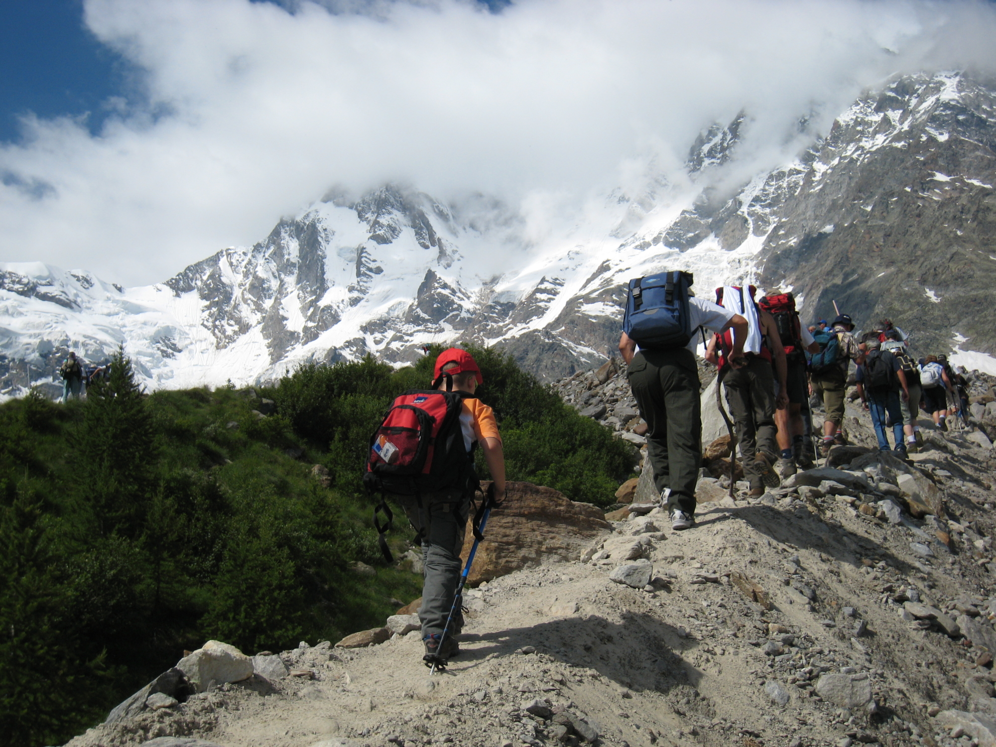
From the bus stop in Pecetto (the public transport line arrives from Domodossola) take route B which, after passing the base station of the Belvedere ski lifts, goes along the trail leading to Alpe Burki. Just below the alpine pasture, the route turns left, crosses the stream and goes up into the conifer forest until it reaches Alpe Rosareccio. From this pasture you can turn right to take the path that along the initial stretch goes over an uncomfortable landslide formed by rocks and boulders and climbs up a steep channel and then out onto a plateau. A very interesting path begins here, crossing peat bogs, rhododendrons and dwarf alders until it meets the path coming from above. At Alpe Rosareccio, continue in the direction of route B up to Piani Alti di Rosareccio, the top station of a cable car that is no longer in use. Abandon route B, which leads to Colle del Pizzo Nero, and continue slightly uphill on the route that to the “Zamboni-Zappa” Refuge.
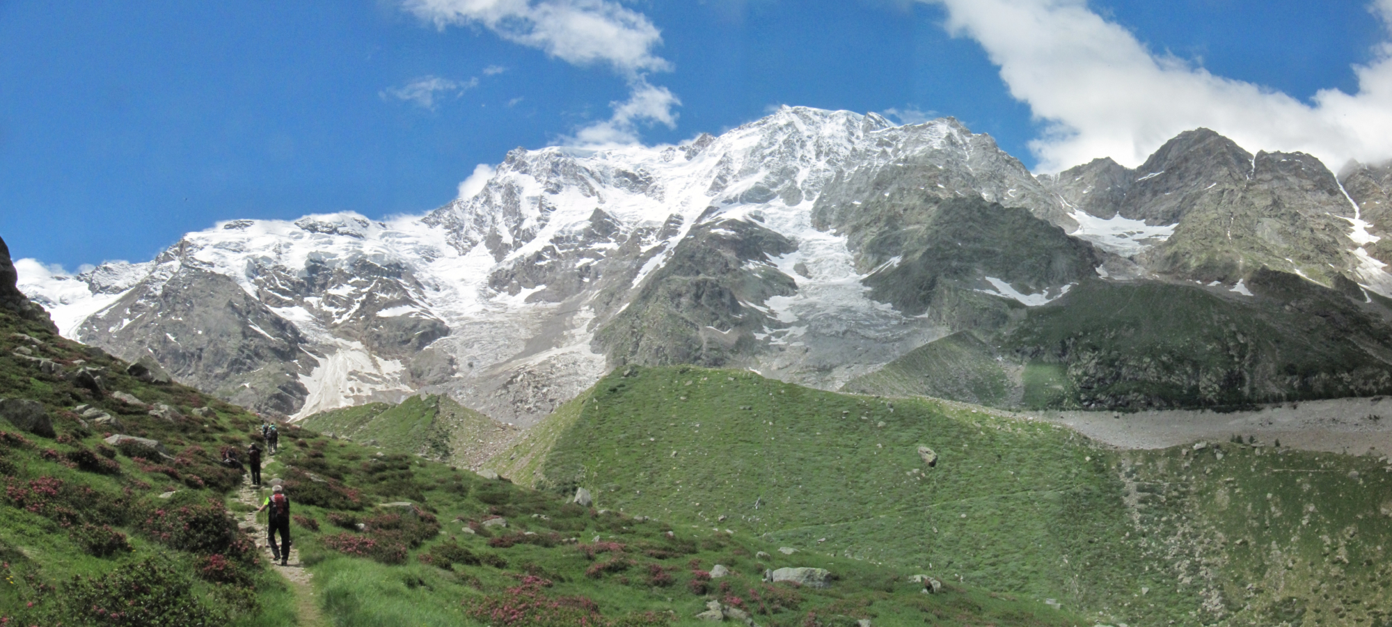
Continue along a very scenic route that offers a spectacular view of the east face of Monte Rosa. Passing the junction previously mentioned, arrive at the refuge.
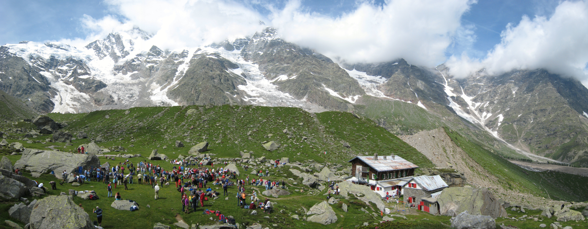
The “Zamboni-Zappa” Refuge is located in a basin near the Locce glacier: here you can have a rest before continuing to Lake Locce and then descend to the Belvedere, the top station of the ski lifts, by which you descend to the hamlet of Pecetto. Alternatively, from the Belvedere, a beautiful route descends to the underlying plateau on which the “Saronno” Refuge sits and from here to Alpe Burki, where you can stop for a local snack.

Useful info

Italian Alpine Club (CAI) site identification code

Sector B “Routes”– IB28

Useful info

Domodossola FS International Railway Station (from Bern and Milan).
From the BUS terminal, take the Macugnaga bus route, getting off in Pecetto
Contact details: Municipality of Macugnaga
CAI contact details: Macugnaga Section
Refreshment areas: Zamboni-Zappa Refuge – Belvedere Refuges – Alpe Burki Agritourism

Difficulty

Medium difficulty. The route requires a good level of hiking experience, although the paths are all good quality. The route is at altitude; make sure you always have the right equipment and clothing even if weather conditions look good to start with.

Lenght

14 km

Ascent

944 m

Total duration

5 hrs 30 min

Recommended equipment

Walking boots

Signage

B38 – B45 – B43 – B47

Reference map(s)

Map no. 5 scale 1:25,000 of the Geo4Map/CAI
Digital maps on the following apps: ViewRanger – Avenza Maps

Natural value
Ideal for
Everybody
You will discover
Nature
Sport
Guide to itineraries and useful info
Ideal for
Everybody
You will discover
Nature
Sport
Guide to itineraries and useful info
Choose your
mountain guide
IAT di Macugnaga
Piazza Municipio, 6
28876 Macugnaga (VB)
See map
Choose your
tour or nature guide

You might also be interested in...