Hiking – Monte Cazzola and the Buscagna Valley
Difficulty
Medium
Period
Spring / Summer / Autumn

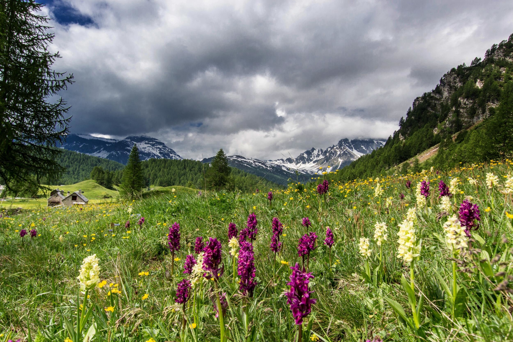
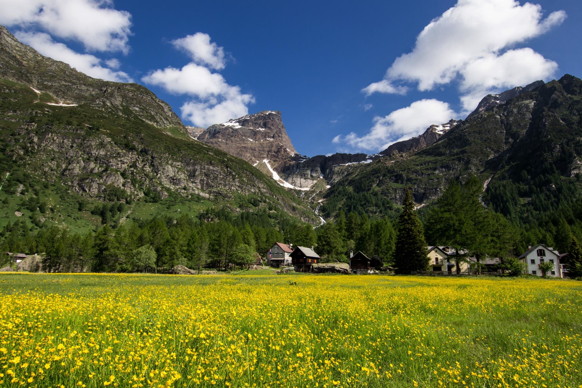
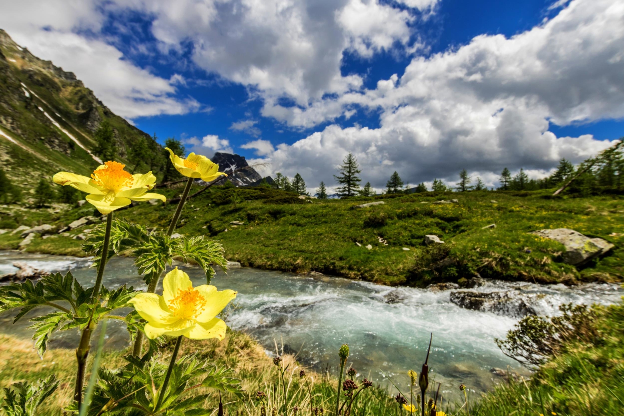
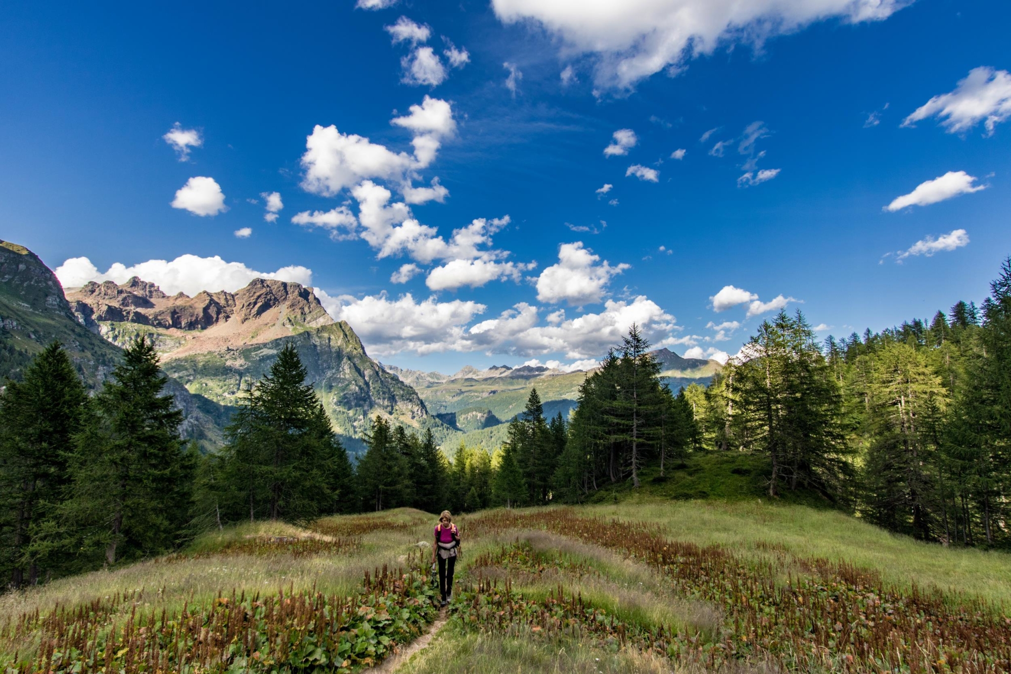
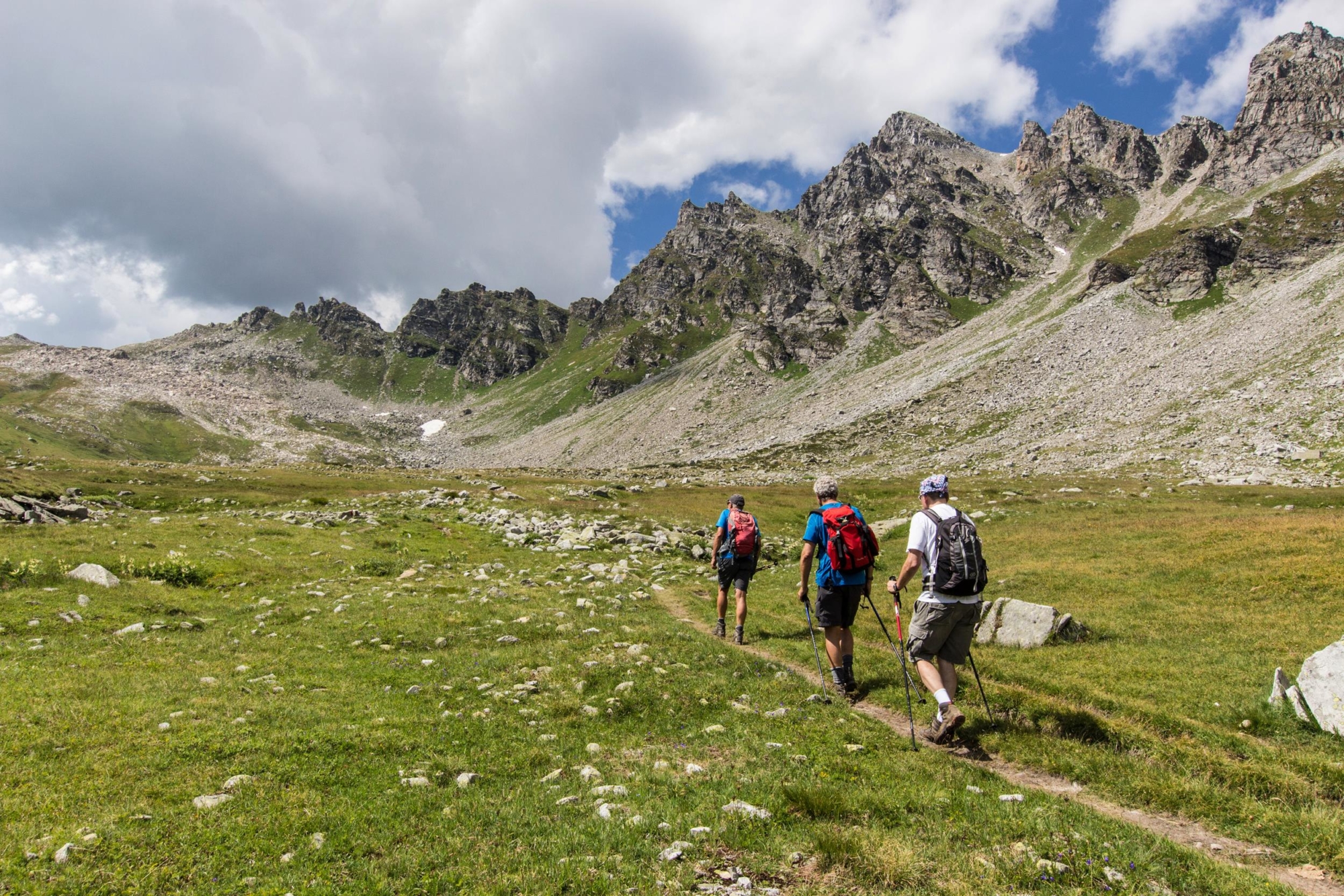
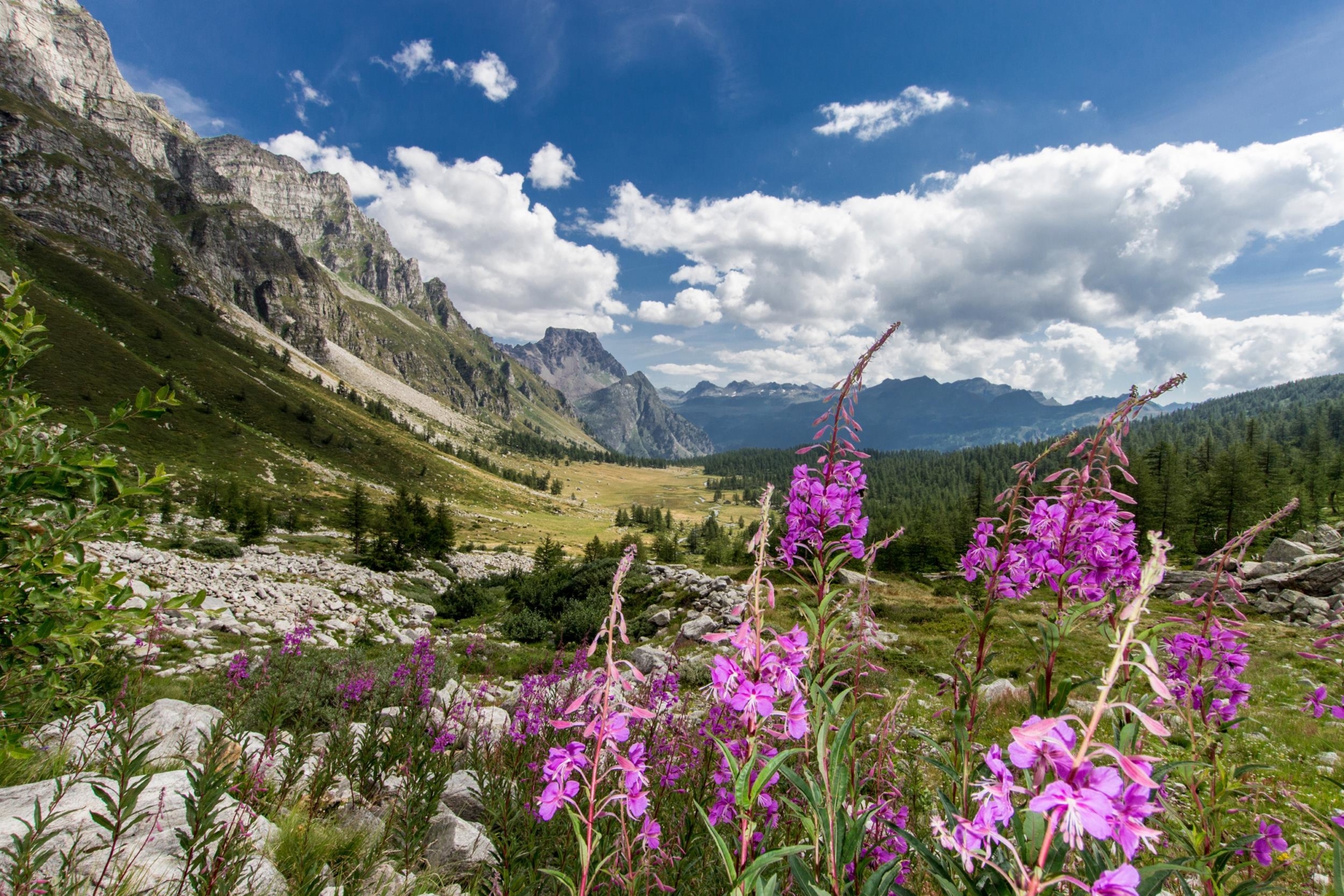
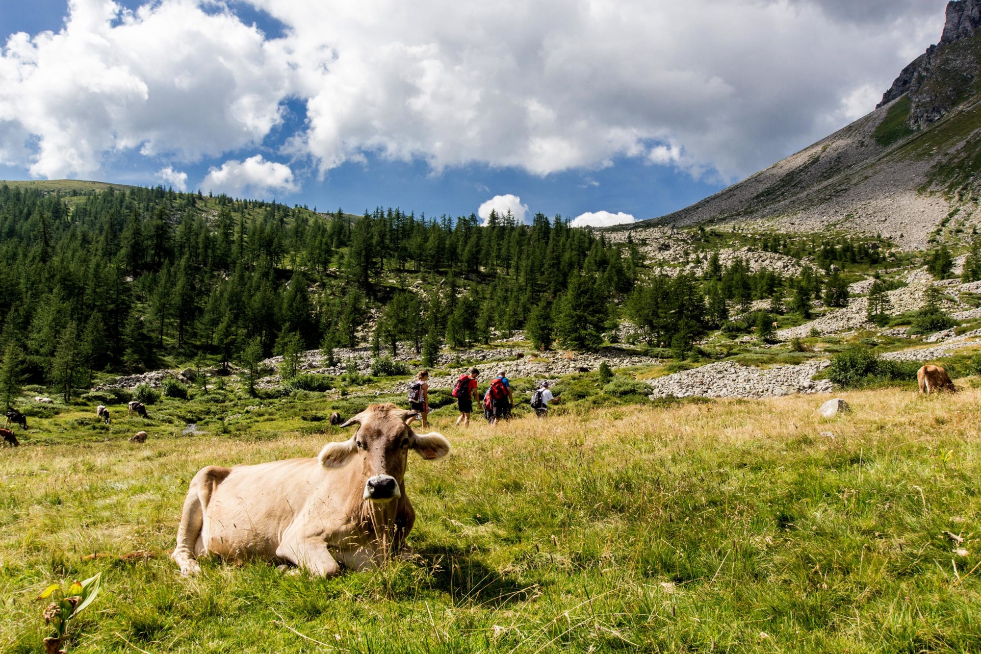
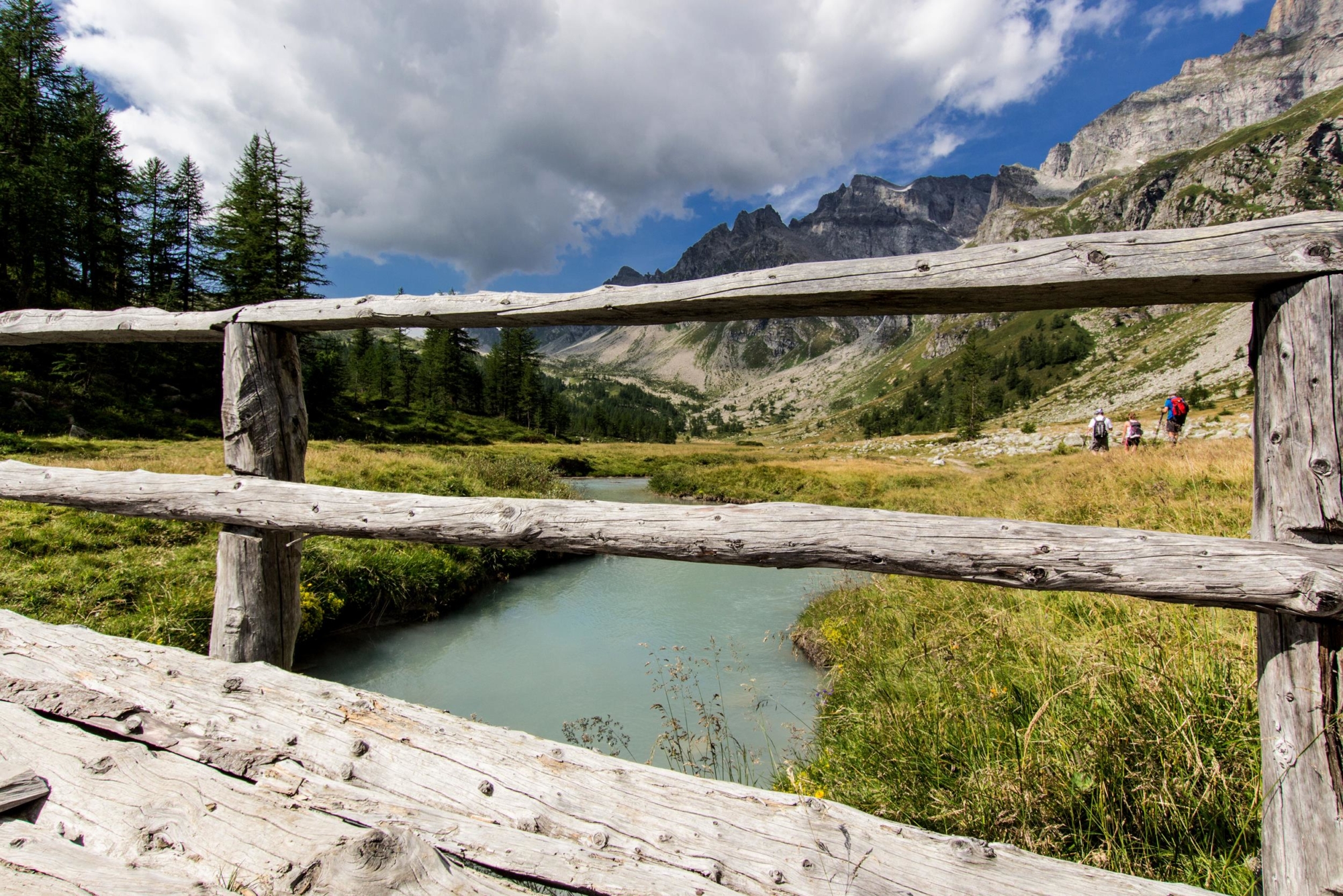
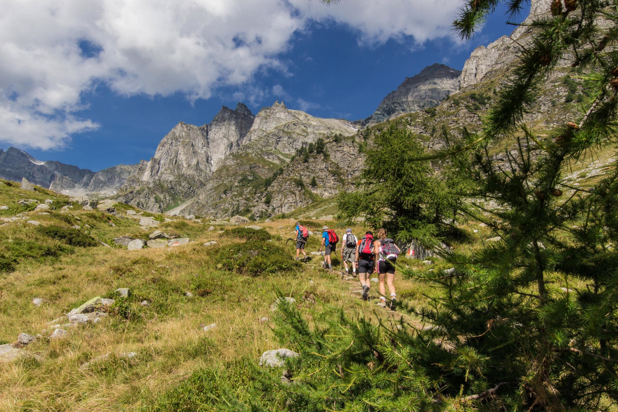
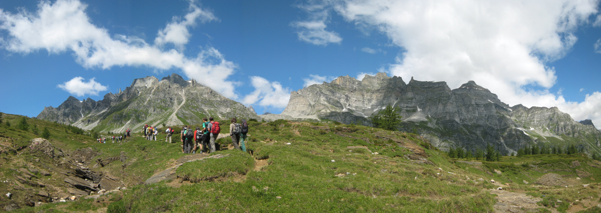
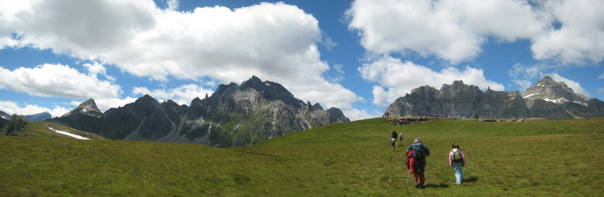
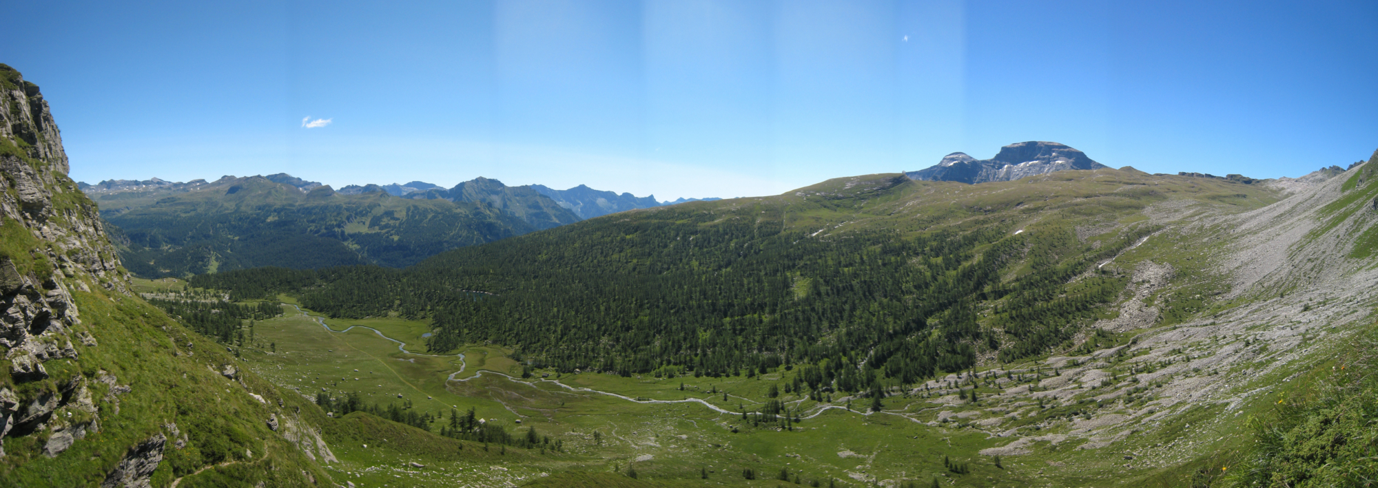
The heart of the Alpe Devero Natural Park offers unique emotions, thanks to its fascinating landscapes and views. This route is one of the most popular in Devero: the view from Monte Cazzola is one of the most fascinating views in the park, a 360° panorama of the peaks and pastures of Devero, the Cistella group and the Bondolero Valley. The ascent from the Buscagna Valley allows you to appreciate the true essence of the Alpe Devero Natural Park: unspoilt nature, pastures, meadows and peaks to frame the hiker’s slow journey enjoying the beauty of these places.

Description

From the Alpe Devero car parks, take the paved road that takes you up to the first huts and the oratory. From here, leaving the path that crosses the bridge, turn left onto the wide flat path that takes you to the Walser houses of the Devero plain, cross the river over the bridge and then continue to the village of Pedemonte. From here, take the H11 route which, after crossing the river again, begins to climb into the larch wood as far as the mountain huts of Misanco. Leave route H11a on the left, which leads to Monte Cazzola, and continue on the main route. After leaving the path to the right for the Black Lake, crossing the Curt dul Vel alpine pasture, you reach the junction for Scatta d’Orogna; turn left, staying on the H11 path. After passing the Buscagna Lakes you arrive at the pass of the same name and then the summit of Monte Cazzola. Here you must stop to admire the magnificent view from the top, the descent route is indicated by the initials H11a. Return to Alpe Misanco and from here back to your starting point, Alpe Devero.

Useful info

Italian Alpine Club (CAI) site identification code

Sector H “Itineraries” – IH15

Useful info

Domodossola FS International Railway Station (from Bern and Milan).
From the BUS terminal, take the Formazza Valley bus route, getting off in Baceno.
From Baceno, take the Prontobus (tel. +39 349 0796016) to Alpe Devero.
By car, drive straight to the (paid) car parks at Alpe Devero.
Contact details: Municipality of Baceno
Protected Areas of Ossola
CAI contact details: Formazza Section

Difficulty

Medium difficulty. The route is not particularly difficult, but you’ll need a minimum level of fitness and technical clothing suitable for the high mountain environment.

Lenght

11 km

Ascent

716 m

Total duration

4 hrs 15 min

Recommended equipment

Hiking boots and mountain clothing

Signage

H11 – H11a

Best time of year

From June to October

Reference map(s)

Map no. 9 scale 1:25,000 of the Geo4Map/CAI
Digital maps on the following apps: ViewRanger – Avenza Maps

Value of traditional and peasant life
Natural value
Ideal for
Everybody
You will discover
Nature
Sport
Guide to itineraries and useful info
Ideal for
Everybody
You will discover
Nature
Sport
Guide to itineraries and useful info
Choose your
mountain guide
IAT di Crodo
Via Bagni, 20 28862 Crodo (VB) See map
Choose your
tour or nature guide

You might also be interested in...