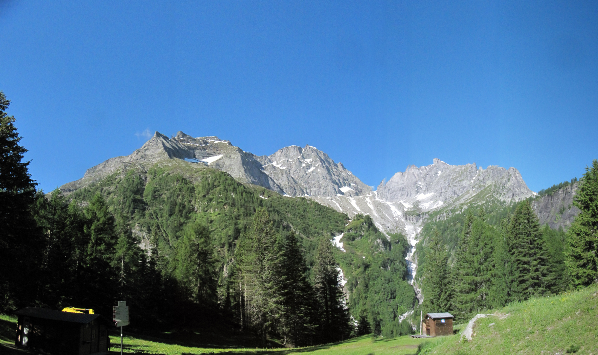
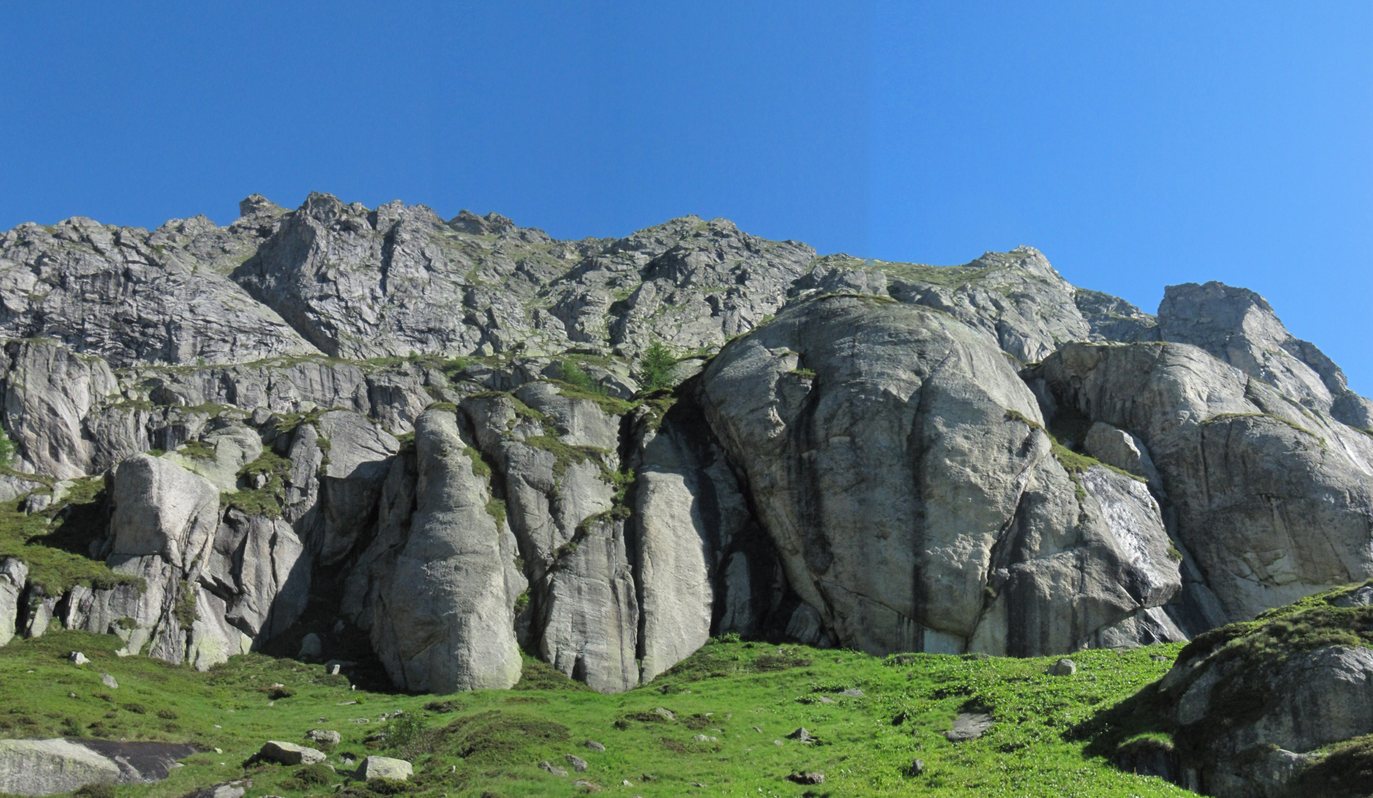
The valley of the Vannino river, in the upper Formazza Valley, has extraordinary characteristics. The morphology is the result of a great glacial movement of the Quaternary period which shaped and generated glacial balconies, small glacial lakes, crumbling rocks and moraines.
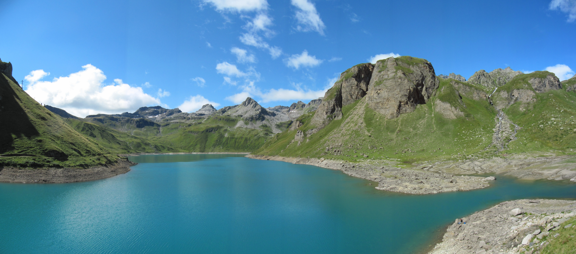
This spectacular natural environment is now dotted with 20th-century dams. Major changes were made to the Busin, Vannino and Sruer Alpine lakes, which are now impressive reservoirs. The climatic conditions of the high mountains have allowed the vegetation to grow luxuriantly and with a unique flora that feeds grazing cows. The milk that comes from these pastures is used to make some of the best cheeses, even appreciated by the most demanding palates.
Description
At the arrival of the Ponte bus, follow signs for the Sagersboden chairlift, which you take to climb comfortably to an altitude of 1772 m (5814 ft). On arrival, signposts point to the Miryam and Margaroli Refuges, which are located on the SI (Sentiero Italia – Italy Path) and VA (Via Alpina – Alpine Way) routes. The route winds along a trail, which then becomes a path, to the Margaroli Refuge, near the Vannino dam. On the way back, turn off to the meadows in the direction of the Miryam Refuge. Follow a path that, through lakes and peat bogs, comes close to the large wall of an old dam that never came into operation. Detour to the path that climbs up to the Miryam Refuge. From the refuge, we recommend you walk over the two view points over the Formazza Valley and the foothills of Monte Giove.
The route then continues along the outward route and returns to the top station of the Sagersboden chairlift, which takes you back to the valley in just a few minutes. Those who wish to continue walking can take the path that descends to Canza and then, through the variant of the Gries mule track, return to Ponte.
Useful info
Italian Alpine Club (CAI) site identification code
Sector G “Routes” – IG20
Useful info
Domodossola FS International Railway Station (from Bern and Milan).
From the BUS terminal, take the Formazza Valley bus route, getting off in Ponte
Contact details: Municipality of Formazza
CAI contact details: Formazza Section
Refreshment areas: Margaroli Refuge and Miryam Refuge
Difficulty
Medium difficulty. The route is not particularly difficult. Be careful:
– in the return stretch from Miryam Refuge, with sections marked only with stone cairns
– in the section below the wall of the dam which is not in operation, on the return route
Lenght
11 km
Ascent
481 m
Total duration
3 hrs 30 min
Recommended equipment
Walking boots and technical mountain clothing.
Signage
G99 – G31 – G99a – G00d
Best time of year
From late June to September
Reference map(s)
Map no. 10 or 11 scale 1:25,000 of the Geo4Map/CAI
Digital maps on the following apps: ViewRanger – Avenza Maps