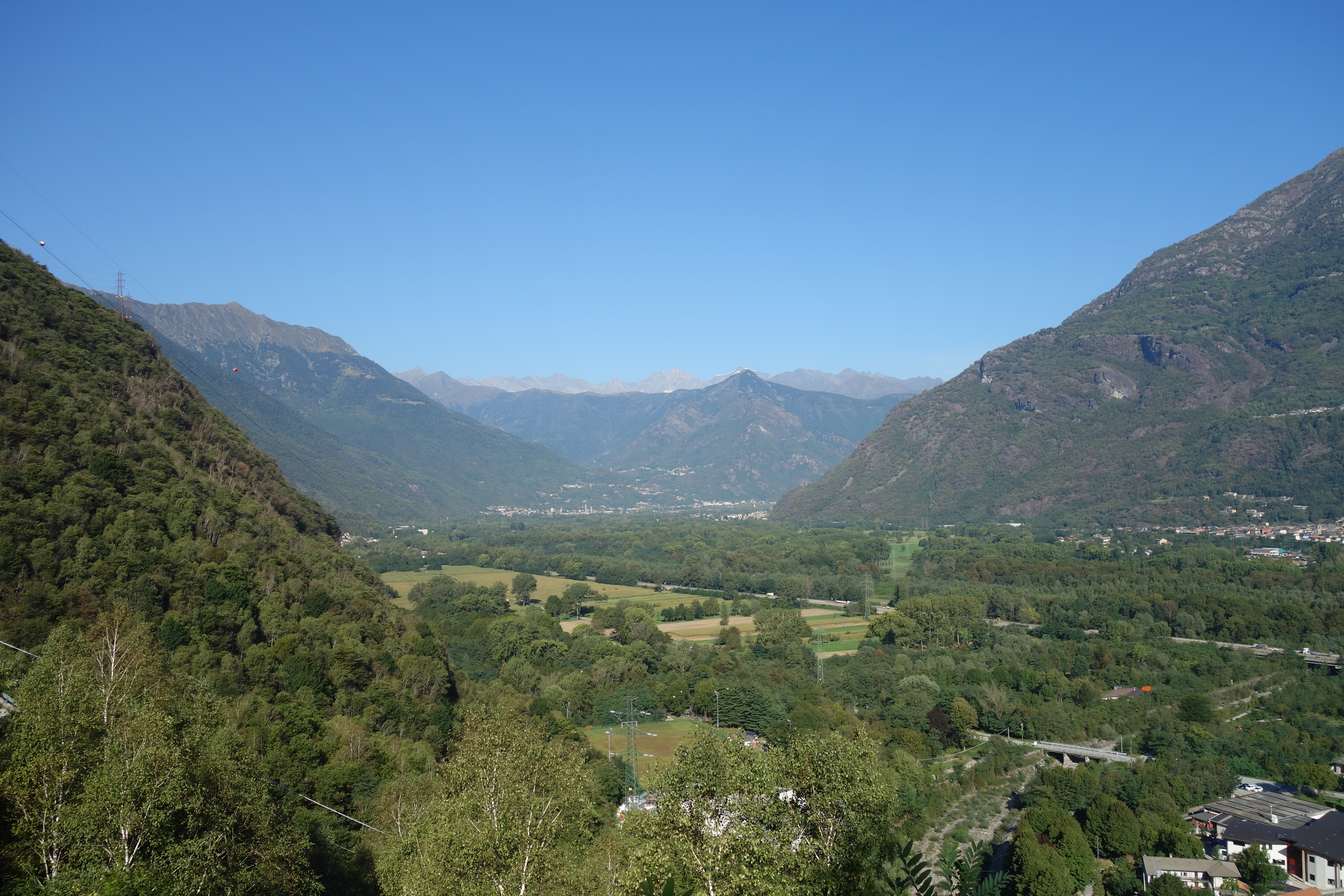
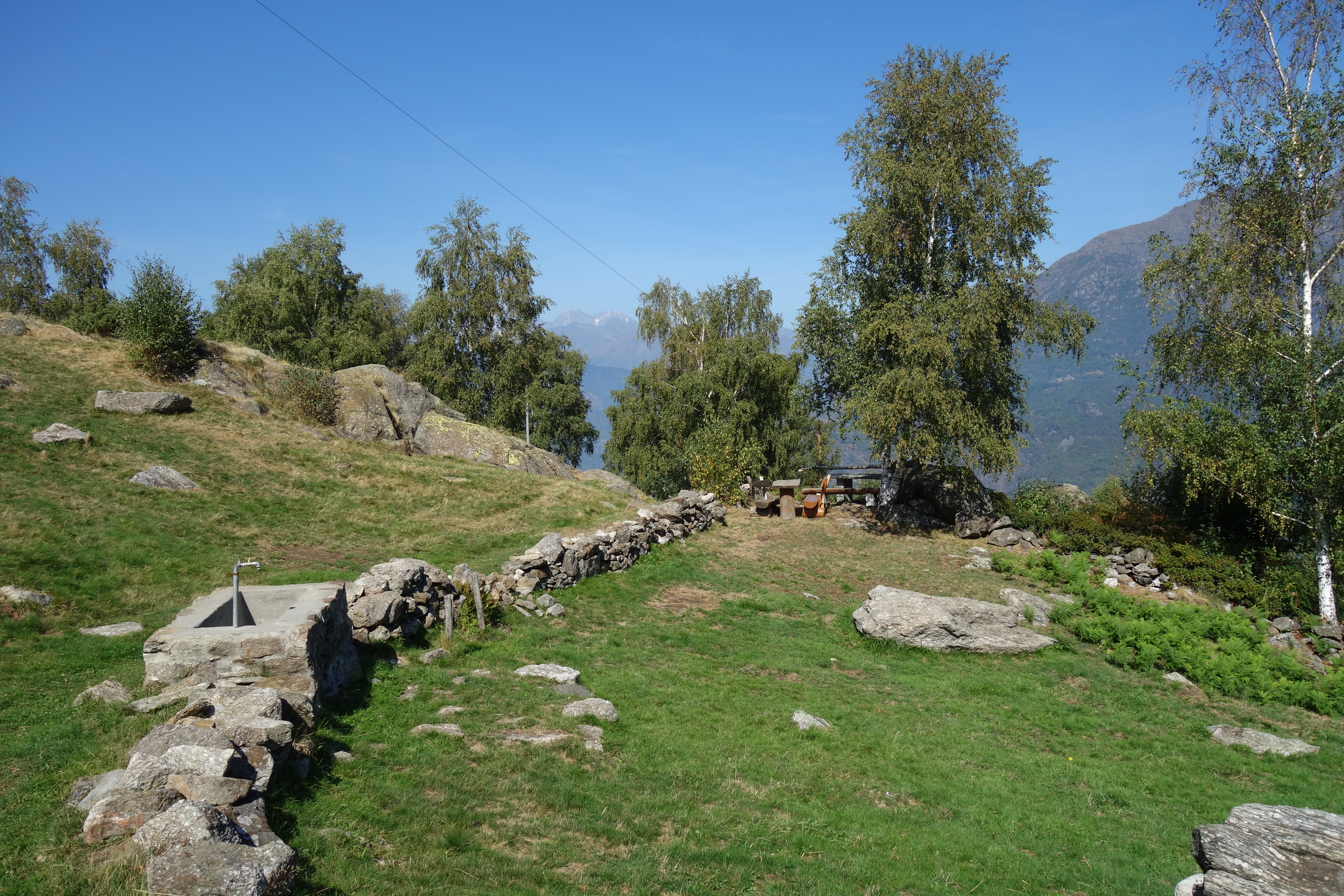
The centre of Anzola, with its noble houses, old chestnut trees, oratories and mountain pastures. From the Alpeggio di Piazzagrande, the panoramic view of the “Piana del Toce” is spectacular.
No item found
The centre of Anzola, with its noble houses, old chestnut trees, oratories and mountain pastures. From the Alpeggio di Piazzagrande, the panoramic view of the “Piana del Toce” is spectacular.
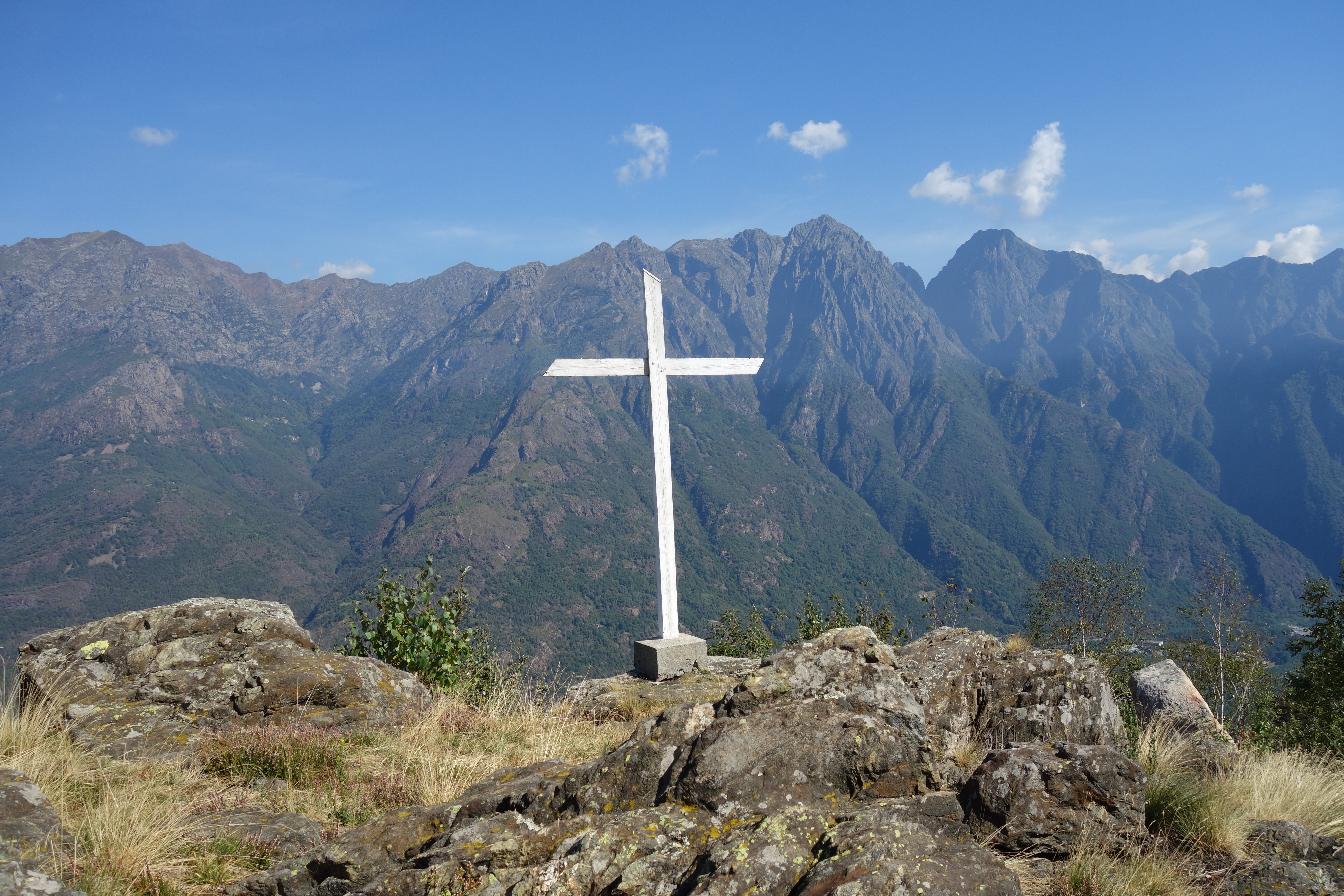
From the bus stop, in front of the Parish Church of Anzola, you enter the heart of the village. In the square outside the Oratory of San Rocco you begin to climb to the left, along the mule track that leads to the Sanctuary of the Beata Vergine del Carmine. Follow the path and at the second crossroads turn right, reaching a view point with old and imposing chestnut trees. After passing a tombstone, continue until you reach the path that climbs up to Pian Sola. Continuing up, you’ll come across farmhouses and the Alpe Cantire, passing a chapel and arriving at Alpe Piazzagrande. Climb to the large stable where the trail continues to Alpe Drosone and the top of Monte Massone. Before descending, we recommend you have a good look around and check out the cross. Go back along the same path until you reach the village of Pian Sola. Here, leaving the path you came up on, take the path on the right passing through the village of Balmoni and Alpe Borgoratto. Once you reach the chapel, continue as far as the Sanctuary, then follow the mule track to the piazza in San Rocco and return to your starting point.
Sector A “Routes”– IA35
Domodossola FS International Railway Station (from Bern and Milan).
Contact details: Municipality of Anzola
CAI contact details: Piedimulera Section
Medium difficulty. The route doesn’t present any particular difficulties, but the amount of ascent requires a certain level of fitness.
8,25 km
720 m
3 hrs 35 min
Hiking boots.
A00 – A33 – A35
Map no. 16 scale 1:25,000 of the Geo4Map/CAI
Digital maps on the following apps: ViewRanger – Avenza Maps