The Roman Road, signal towers, mule tracks, houses, the beautiful basin of Cardezza, the Via della Cappelle (Chapel Road), mountain pastures and Marzone Lake.
No item found
The Roman Road, signal towers, mule tracks, houses, the beautiful basin of Cardezza, the Via della Cappelle (Chapel Road), mountain pastures and Marzone Lake.
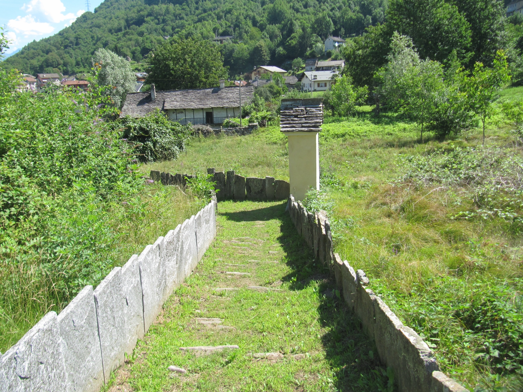
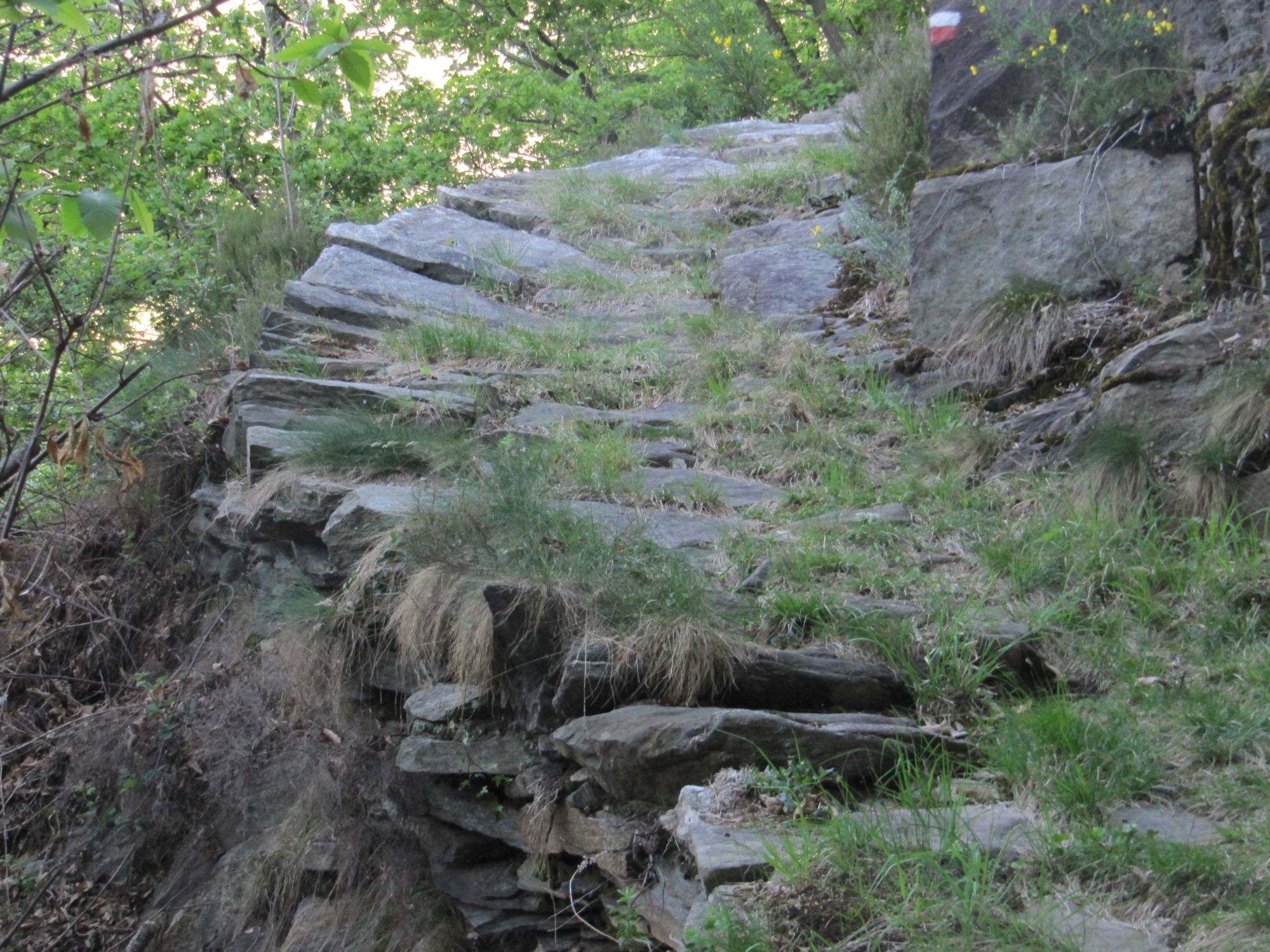
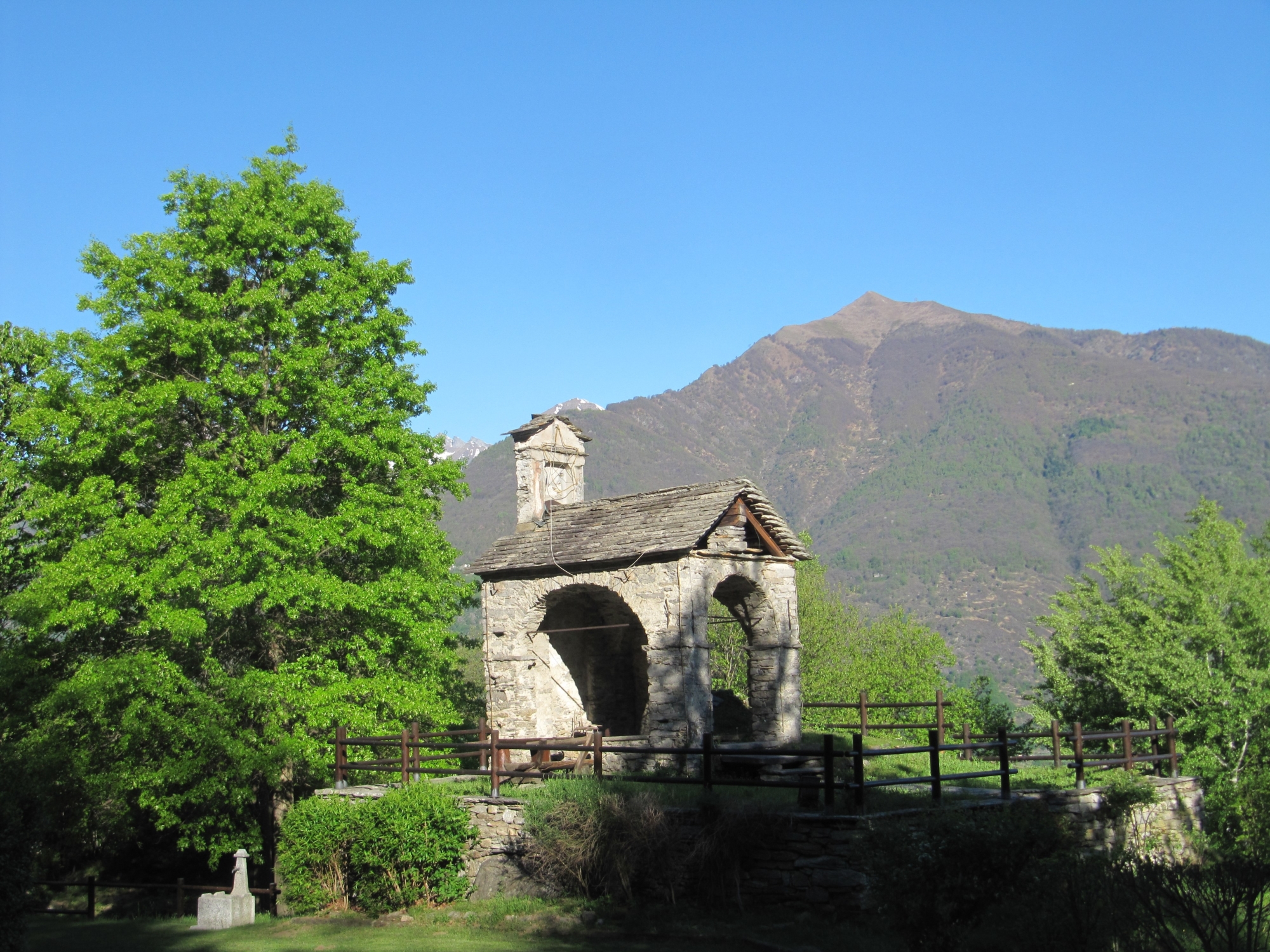
From the bus stop in Cuzzego, head back towards Beura. At the exit of the junction to Villadossola, a sign points to a path that for the first stretch flanks the river until you reach a house where there was once a millstone. Here, as a plaque reminds us, the first stretch of the ancient Roman road begins. When you reach a group of mountain huts, turn left until you get to an abandoned quarry. From this point the old road is clearer, with large ashlar dressed stones on the steep side of the mountain. The route continues almost level until it crosses the paved road that leads to Cardezza. Following signs, climb along the old mule track to the church square in Cardezza and from here, following Via delle Cappelle, you reach the Oratory of Sant’Antonio. Head back along the way you came to the church square in Cardezza. Follow a paved road in the direction of the cemetery, where a sign indicates the descent. Once you reach the At Sant Isepp ai Scupei chapel, the mule track continues to some typical villages. At Cà Pinauda, the mule track begins to descend to the Scarp chapel, continuing to the church square in Cuzzego and then to the bus stop.
Sector A “Routes” – IA19
From Domodossola FS station, you can get to the start point by taking the circular bus south to Cuzzego.
Contact details: Municipality of Beura
CAI contact details: Villadossola Section
Easy route. Be careful on the first stretch, which is quite exposed, and in the stretch from Cardezza to Marzone, where the mule track turns into a narrower path.
6,5 km
317 m
2 hrs 10 min
Walking boots
A0 – A22 – A24