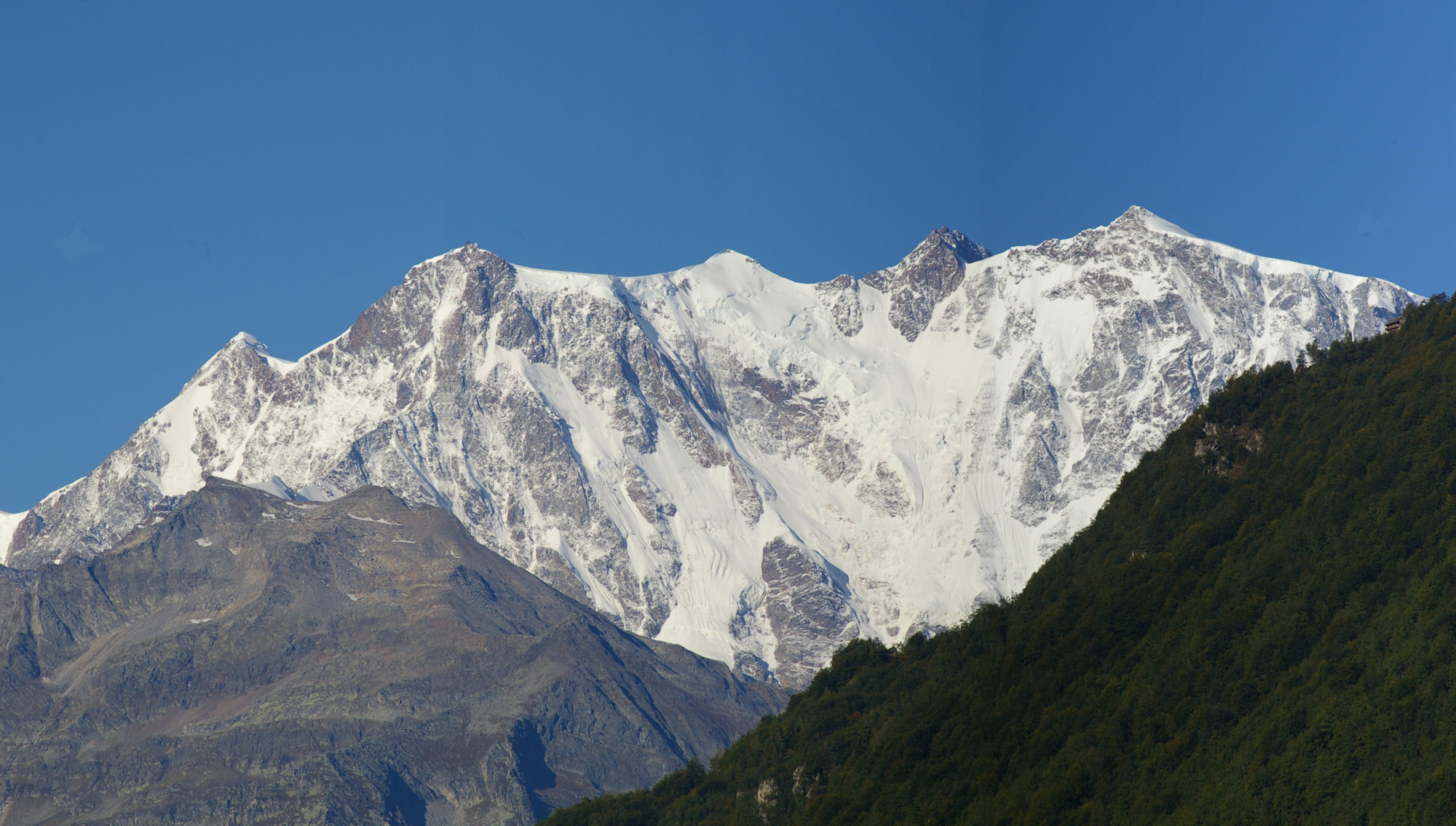
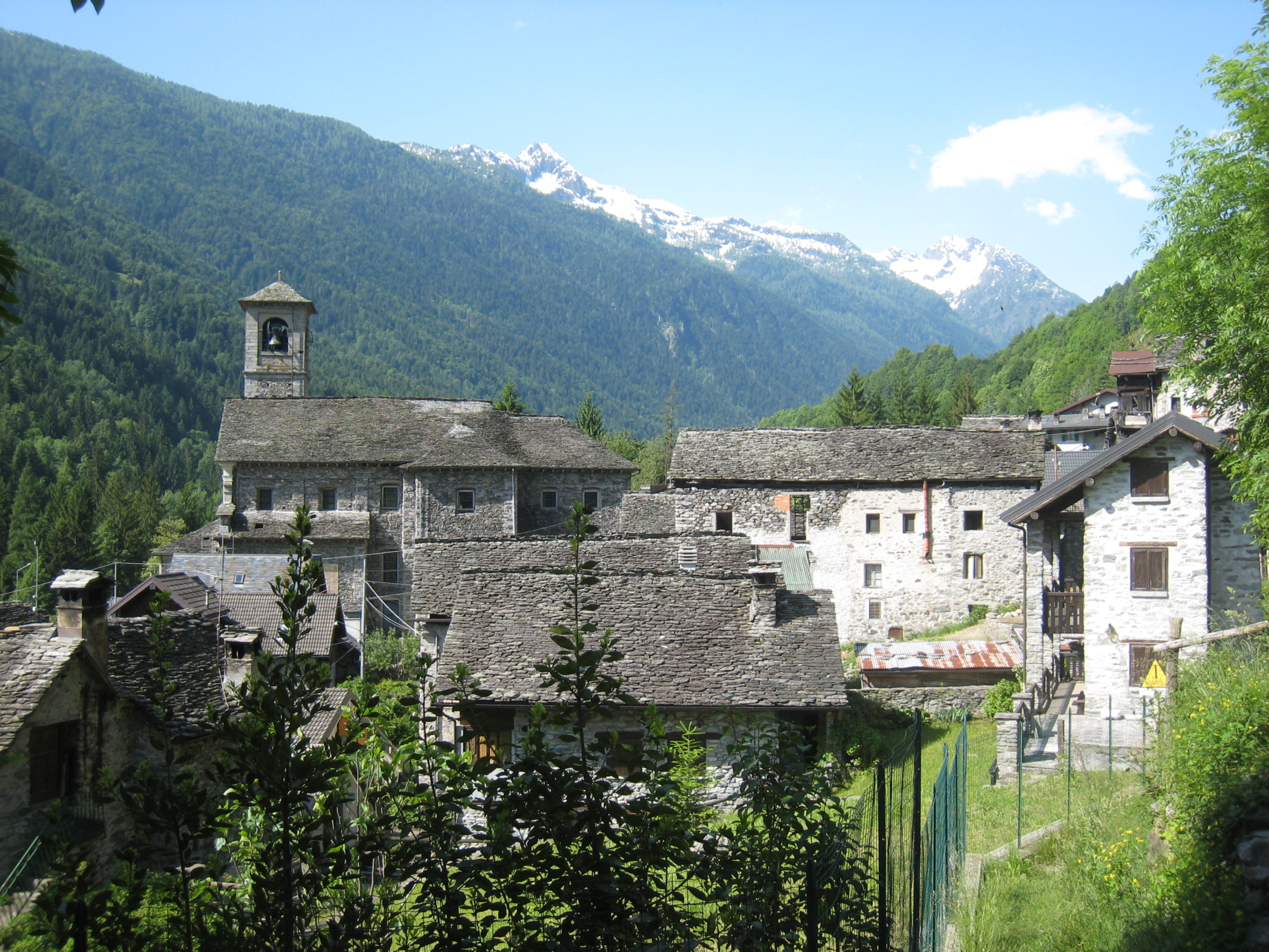
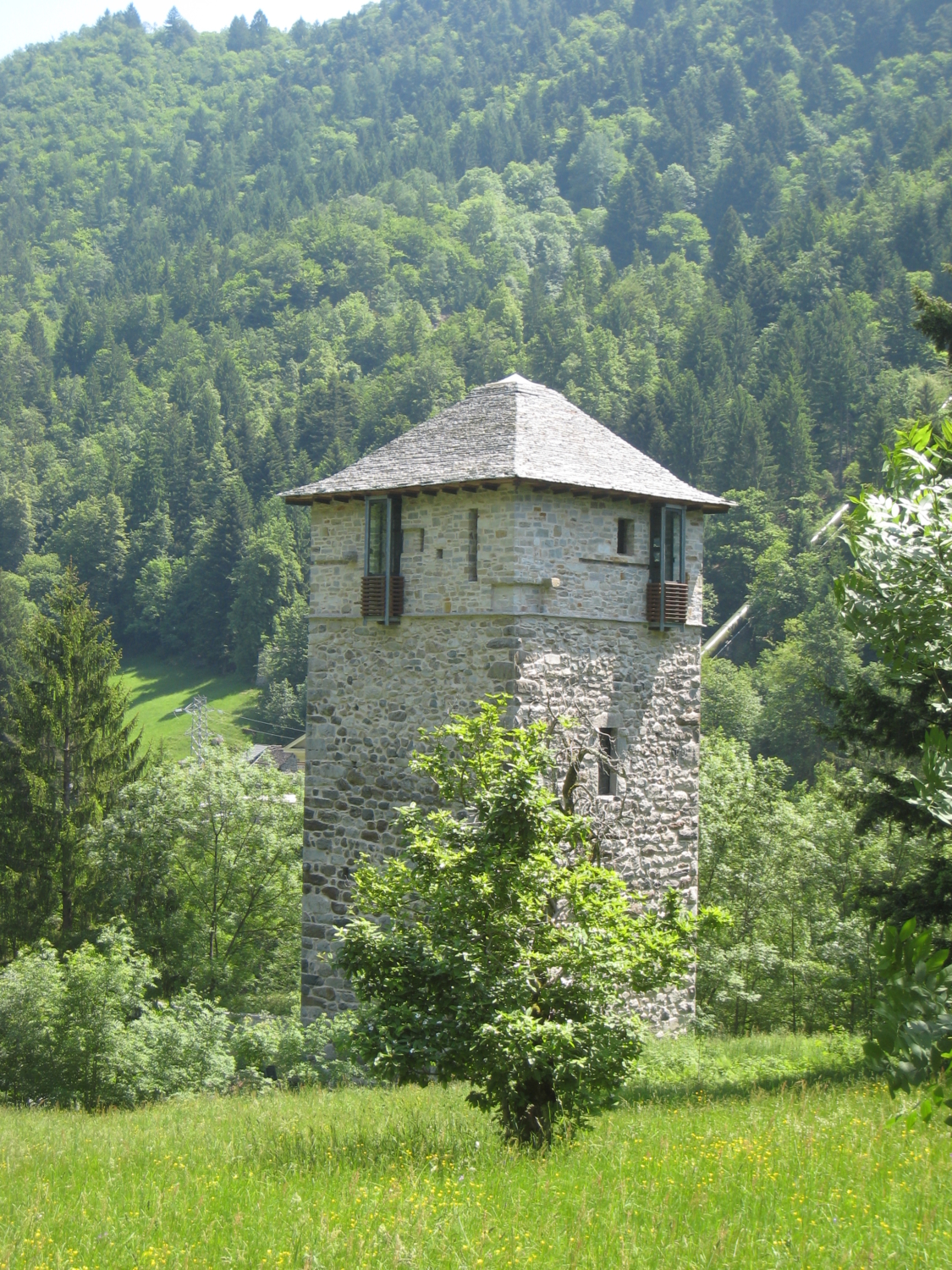
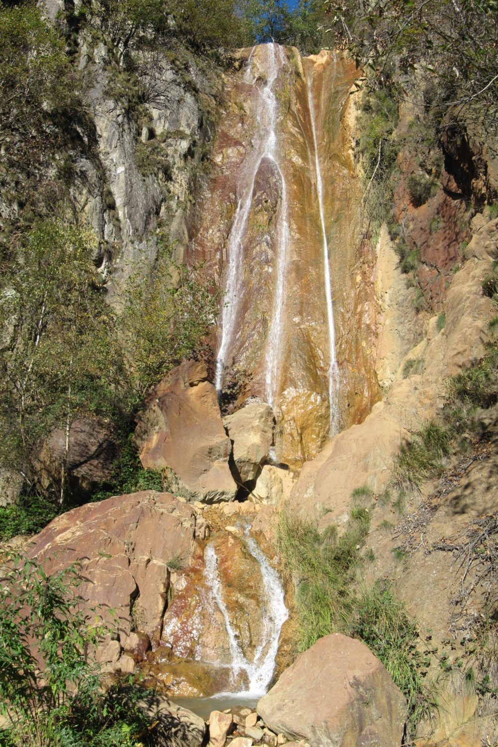
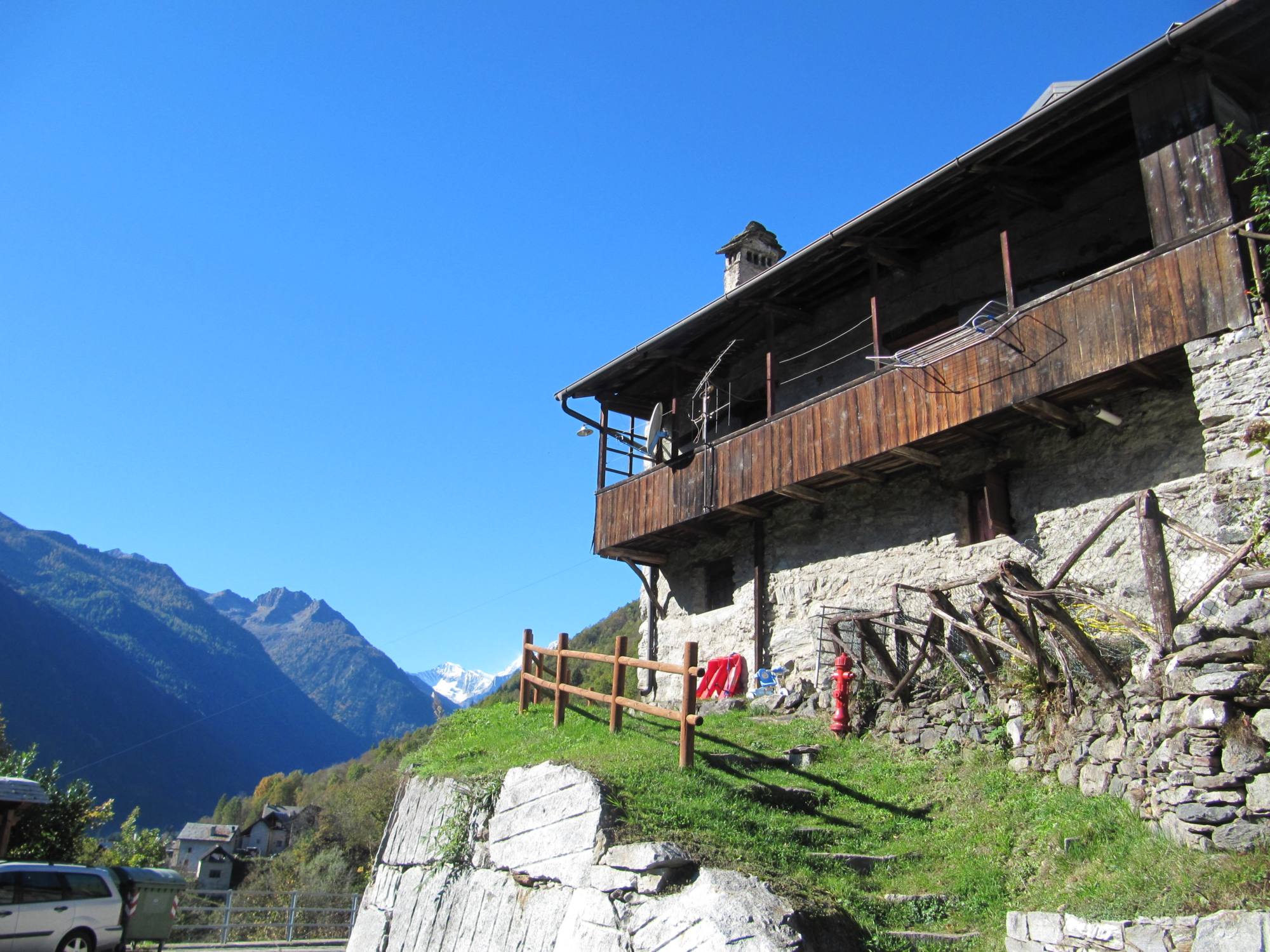
From Pontegrande, take the short narrow alley and after a stretch of road turn right onto a mule track that leads to a chapel. From here, turn right uphill along the mule track that leads to “Case Fornari”. Climb to the tower and cross the village to reach the oratory, from which, along a path, you reach the junction of the mule track to the town of San Carlo. After admiring the monumental church and the characteristic wash house obtained from an ancient gold mill, take route B14 leading to Pianezza. From the last houses in the village a path starts that leads to the bridge of the “Kruka” on the Red River, where you can admire a characteristic waterfall, whose waters (from the Cani mines) give the rock its unmistakable colour. Continue in the direction of Ronchi Fuori and, on a trail you’ll reach the restored Roletto mill, known as the “Mulin ad’Giachet”. You’ll arrive in the beautiful village of Roletto, with its characteristic houses and oratory. At the end of the village, turn left onto a mule track that leads to the elegant village of Vanzone. Among the streets of the town, your gaze will be captured by the ancient villas, the typical houses of the valley, the splendid chapels, oratories and by the main church, but the most dazzling natural spectacle is the imposing mass of Monte Rosa which, due to an optical illusion, from this village in the Anzasca Valley appears much closer than it really is. Vanzone is also famous for its Aqua Vanzonis, the water from the Cani gold mines, which for some years has been the focus of projects and initiatives due to its therapeutic use. The return route is along the Strà Granda and, following the B00 trail marker, it reaches the village of Battiggio where the splendid restored tower is a highlight.
Follow a short stretch of road, then turn right to follow a stretch of the mule track that flanks the campsite and leads to San Carlo, the end point of this route.