Hiking – A trip to the Andolla Refuge
Difficulty
Medium
Period
Summer

The itinerary unfolds within the Upper Antrona Valley Natural Park: still cultivated pastures, small characteristic villages and… An emerald lake! The mountains in the Antrona Valley are still wild. Nature reigns supreme and alone in the upper part of the route, where you’ll come across the Andolla Refuge and the landscape opens up fan-like onto the rugged peaks of the Pizzo Andolla group. Deer, roe deer, marmots and ibex can easily be spotted among the rocks and small glades of the Upper Antrona Valley, where wonderful alpine flora also thrives.

Description

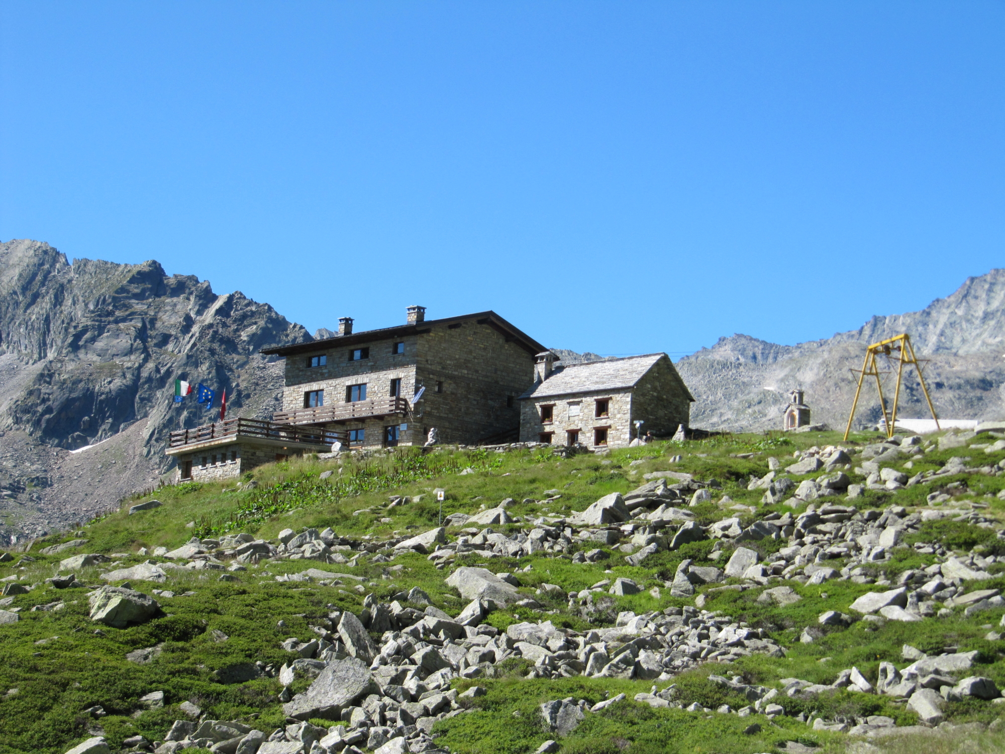
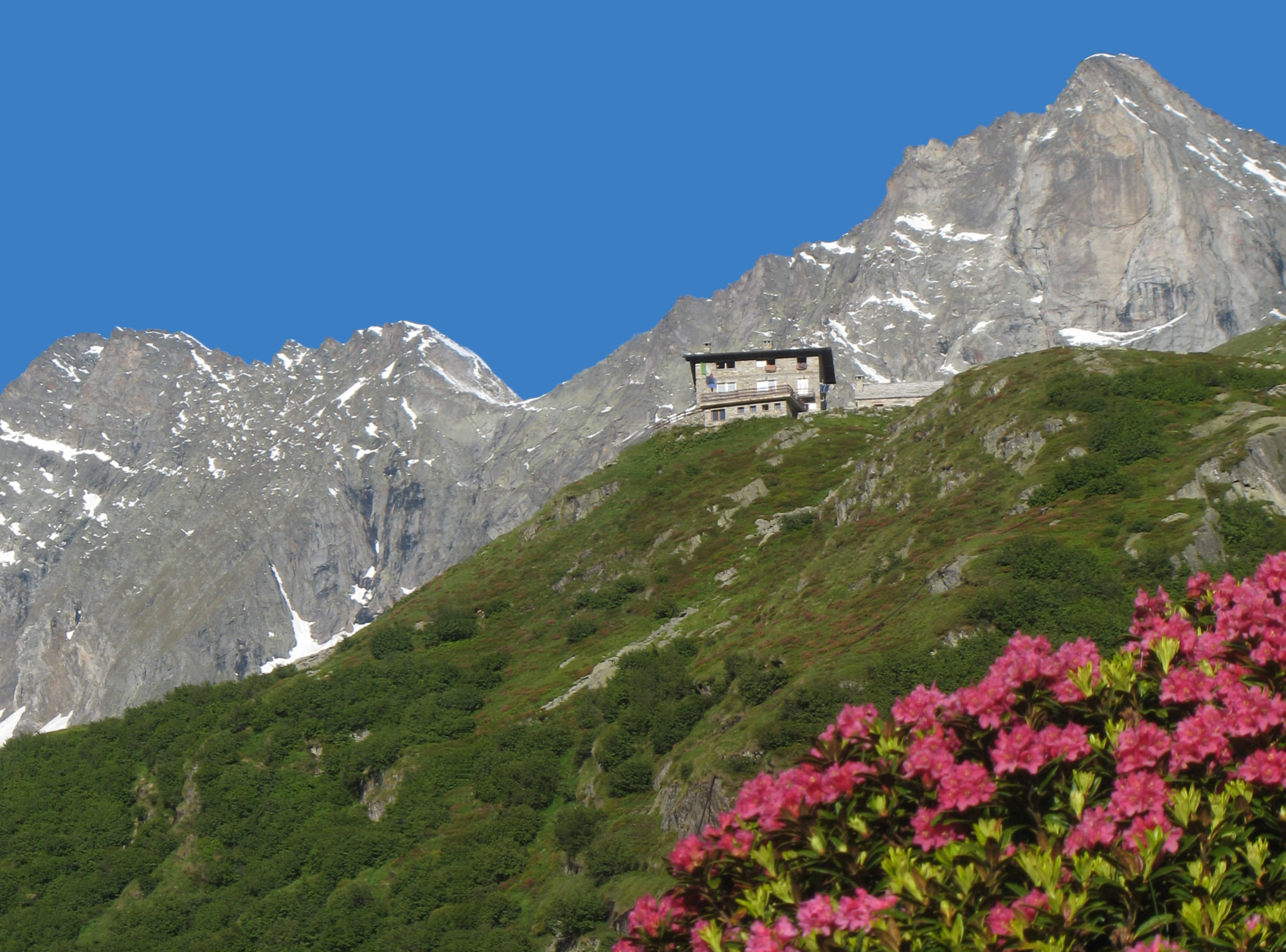
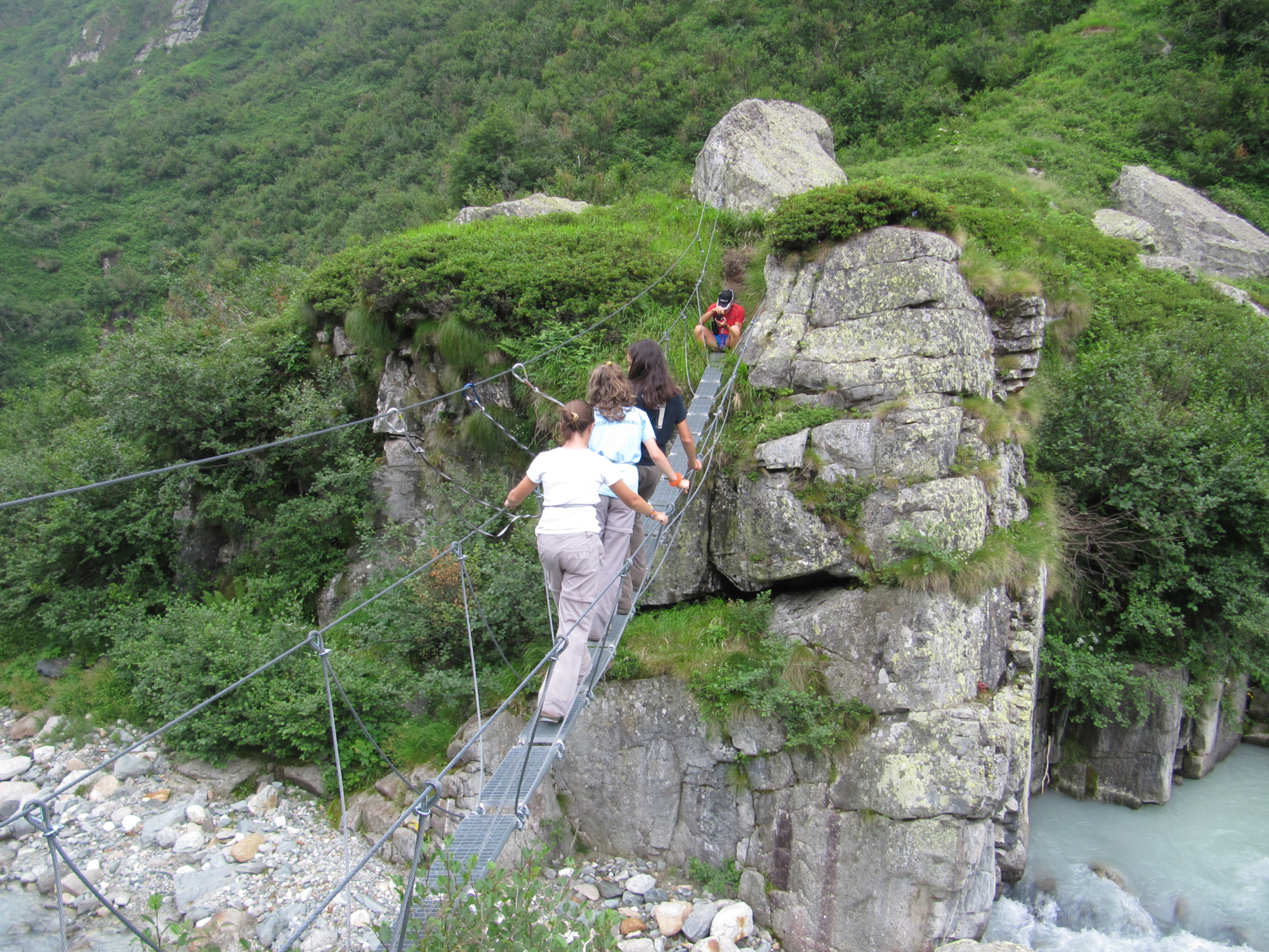
From Cheggio take the road that leads to the square by the cable car, near the dam. Just before the dam, leave the path on the right for the Preia Pass (SI marker), continue across the wall of the dam to reach the first junction for the Alpe Fraccia and Forcola Pass and then the second junction. After crossing two wooden bridges, follow the path to climb to the Alpe Gabi view point. After leaving the fork for the “Giro lago” (Lake Route) on the right, you reach Ronchelli Chapel. Continue uphill slightly until the fork for Alpe Campalamana, cross it and you’ll reach the alp nestled by a pleasant plateau. From this meadow, after leaving the path to the Pozzoli lakes on the left with the Tibetan bridge crossing over it, you enter the deer habitat at Alpe Camasco. Cross a stream and climb to Alpe Andolla and from here to the refuge of the same name.
A place for rest and refreshment, the Andolla Refuge is ideal for an overnight stay at high altitude: in the evening, ibexes usually descend from the peaks to graze on the pastures around the refuge, a real spectacle to admire! The return route is along the normal road that passes from Piana Ronchelli and Alpe Gabbio up to Cheggio.

Useful info

Italian Alpine Club (CAI) site identification code

Sector C “Routes”– IC21

Useful info

Contact details: Municipality of Antrona
Further information on the official website of Antrona Valley
Protected Areas Agency Upper Antrona Valley Natural Park
CAI contact details: Villadossola Section
Refreshment areas: Albergo Ristorante Alpino – Città di Novara Refuge – Andolla Refuge

Difficulty

Medium difficulty. You’ll need to be a little careful in the section between Campalamana, Camasco and the Andolla Refuge: the route goes along a narrow and, in some stretches, exposed track.

Lenght

14,5 km

Ascent

694 m

Total duration

4 hrs 50 min

Recommended equipment

Hiking boots, windbreaker and high mountain clothing.

Signage

C27

Best time of year

From June to late September

Reference map(s)

Map no. 7 scale 1:25,000 of the Geo4Map/CAI (Antrona Valley)
Digital maps on the following apps: ViewRanger – Avenza Maps

Natural value
Ideal for
Everybody
You will discover
Nature
Sport
Guide to itineraries and useful info
Ideal for
Everybody
You will discover
Nature
Sport
Guide to itineraries and useful info
Choose your
mountain guide
IAT di Domodossola
Piazza Matteotti (inside the railway station)
28845 Domodossola (VB)
See map
Choose your
tour or nature guide

You might also be interested in...