Hiking – Around Alpe Solcio
Difficulty
Medium
Period
Summer

The territory of Varzo extends to the high altitudes with splendid mountain pastures, today only partly used for grazing, which offer the opportunity to know the ancient stories of these places, framed by a natural environment that remains unspoilt today. One alp in particular, Solcio, is a favourite destination for hikers all year round, thanks to its central position and its refuge, managed with great passion.

Description

From the railway station in Varzo, where you can arrive by public transport, you can reach the centre of the town and after crossing the stone bridge, climb the stairs that lead to the church and the ancient tower “Torre del Derna”.
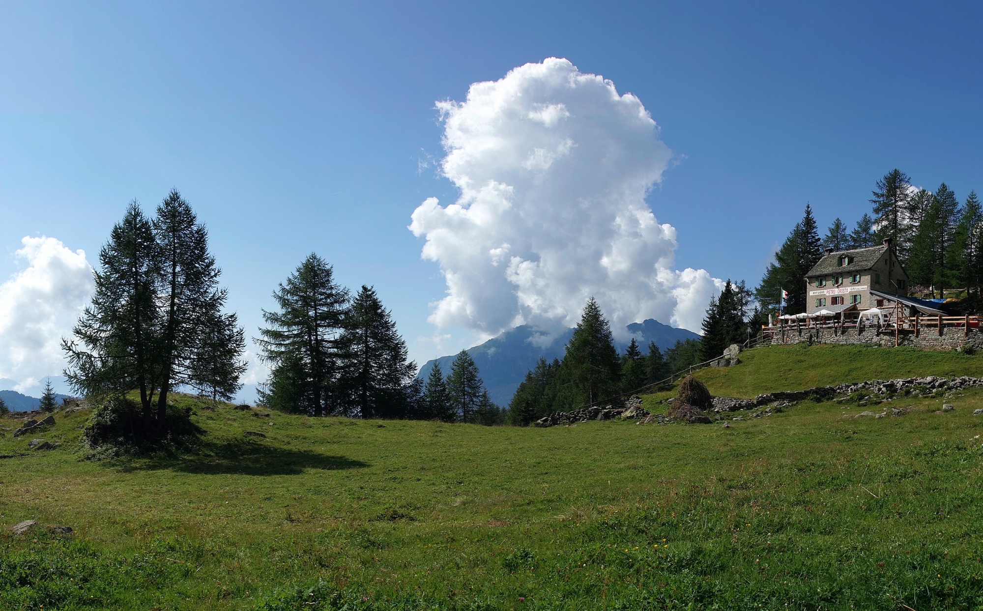
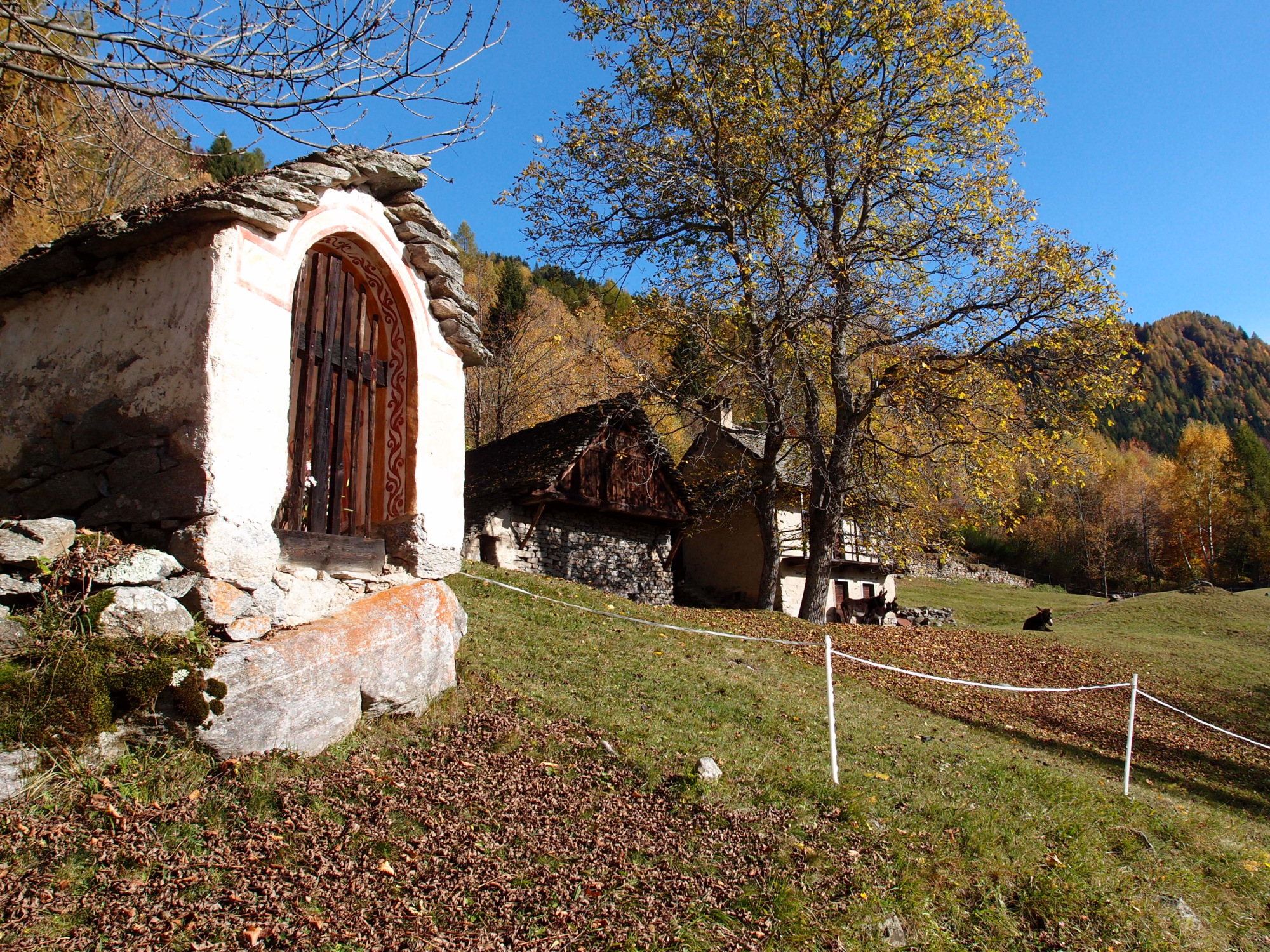
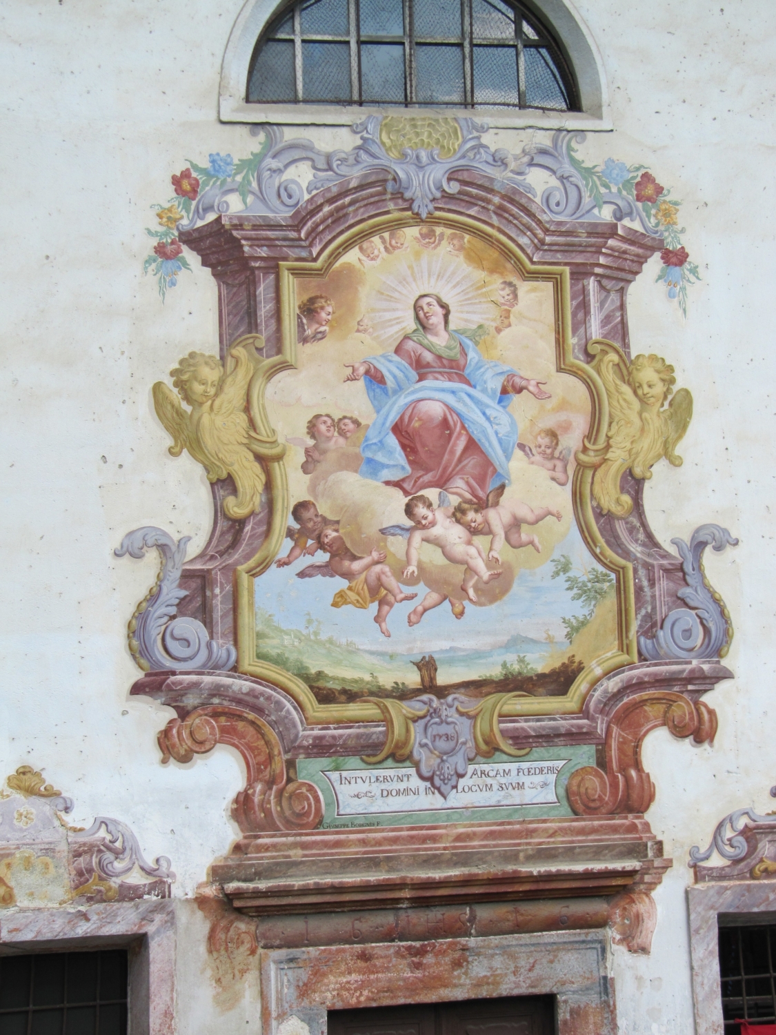
Behind the church, take route F04 that climbs to the settlement of Colla on a beautiful mule track dotted with chapels along the Via Crucis. After arriving at the Oratory of Durogna, from here the mule track continues to Casafranco, Casa Grande and Dreuza. From the junction with the road continue on route F06 to Valera, Bialugno, Alvazz, Baratta, Argnai, Quartina Sotto and Quartina, from where route F02 to Alpe Solcio starts. The Crosta Refuge on Alpe Solcio is an excellent base for refreshments at high altitude, but also as a stopping place for the climb to Monte Cistella. The descent from the refuge allows you to visit other mountain pastures on terraces that descend towards the centre of Varzo. From the refuge, go down to the fountain on the trail, passing through Astolo and Quer until it crosses the F08 path to Calantigine. This numbered path leads down to the centre of Varzo, passing through La Pree, Salera, Fontana, Cornù, Coggia and Bassogno.

Useful info

Italian Alpine Club (CAI) site identification code

Sector F “Routes”– IF04

Useful info

Domodossola FS International Railway Station (from Bern and Milan).
From the BUS terminal take the route to Varzo, getting off at Varzo train station.
Contact details: Municipality of Varzo
CAI contact details: Varzo Section
Refreshment areas: Crosta Refuge

Difficulty

Medium difficulty. Challenging route due to the length and duration. Its quality is guaranteed, however, by easy passages on mule tracks and easy paths.

Lenght

14 km

Ascent

1231 m

Total duration

6 hrs 30 min

Recommended equipment

Hiking boots, sticks and mountain clothing.

Signage

F04 – F06 – F08

Best time of year

From June to September

Reference map(s)

Map no. 9 scale 1:25,000 of the Geo4Map/CAI
Digital maps on the following apps: ViewRanger – Avenza Maps

Value of traditional and peasant life
Natural value
Ideal for
Everybody
You will discover
Nature
Sport
Guide to itineraries and useful info
Ideal for
Everybody
You will discover
Nature
Sport
Guide to itineraries and useful info
Choose your
mountain guide
Pro loco della Valle Divedro
Frazione San Domenico
28868 Varzo (VB)
See map
Choose your
tour or nature guide

You might also be interested in...