Hiking – Tour of the mountain huts of the upper Formazza Valley
Difficulty
Difficult
Period
Summer

A stunning route: the setting is that of the upper Formazza Valley, in the presence of majestic peaks, such as the Blinnenhorn (3373 m – 11,066 ft), the Hohsandhorn (3182 m – 10,440 ft) and the Punta d’Arbola/Ofenhorn (3236 m – 10,617 ft). Glaciers and Alpine lakes have allowed major hydroelectric development, which still characterises the landscapes of the upper valley today, with its large artificial reservoirs. Rigid winter temperatures alternate with warm sunshine in summer and pure mountain air… a formidable mix, which has given rise to a unique mountain grass, the mottolina or mutellina, very popular with grazing cows: it is this particular grass that gives an unmistakable flavour to Battelmatt, the king of cheeses in the Ossola Valley, produced in these beautiful mountain pastures.

Description

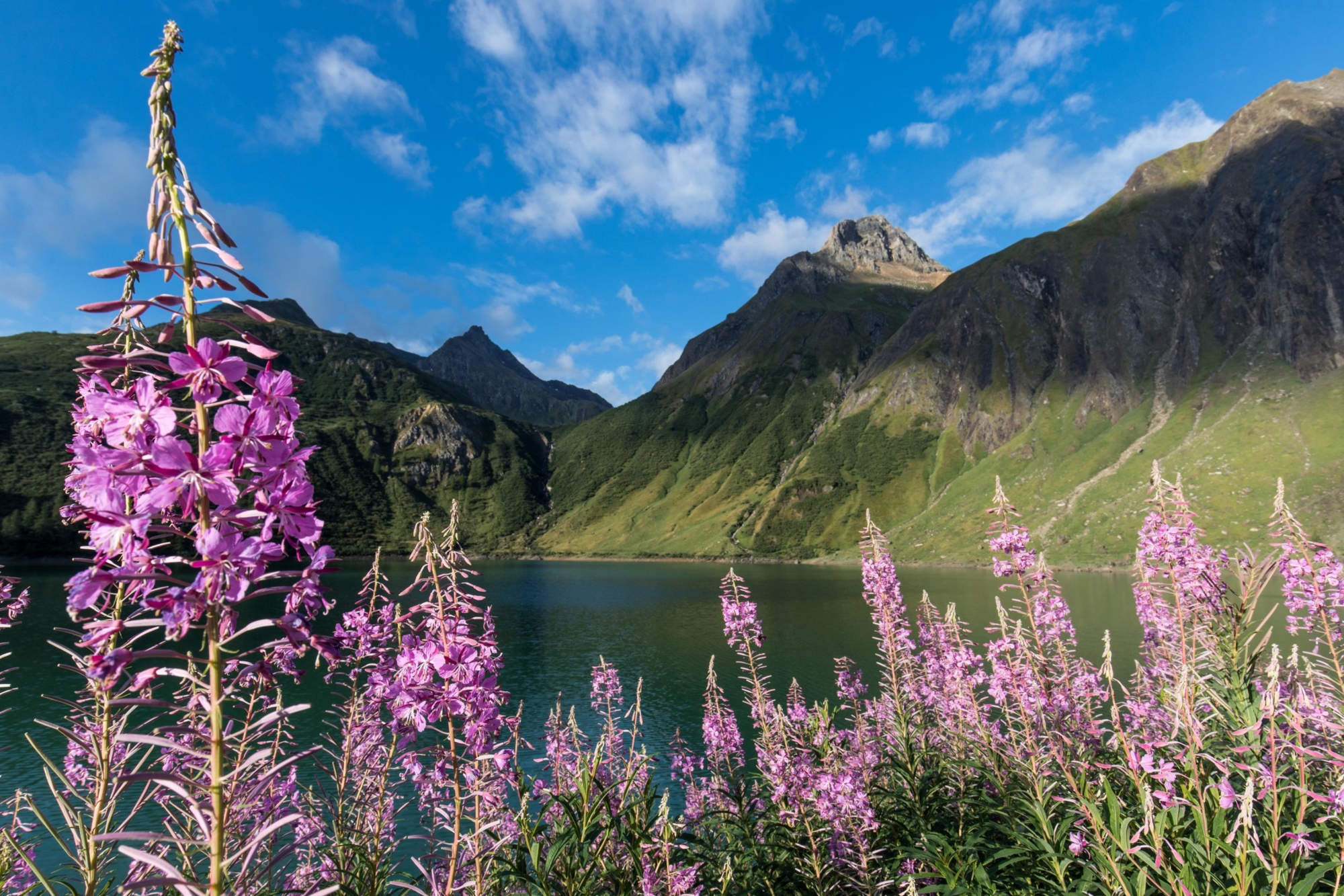
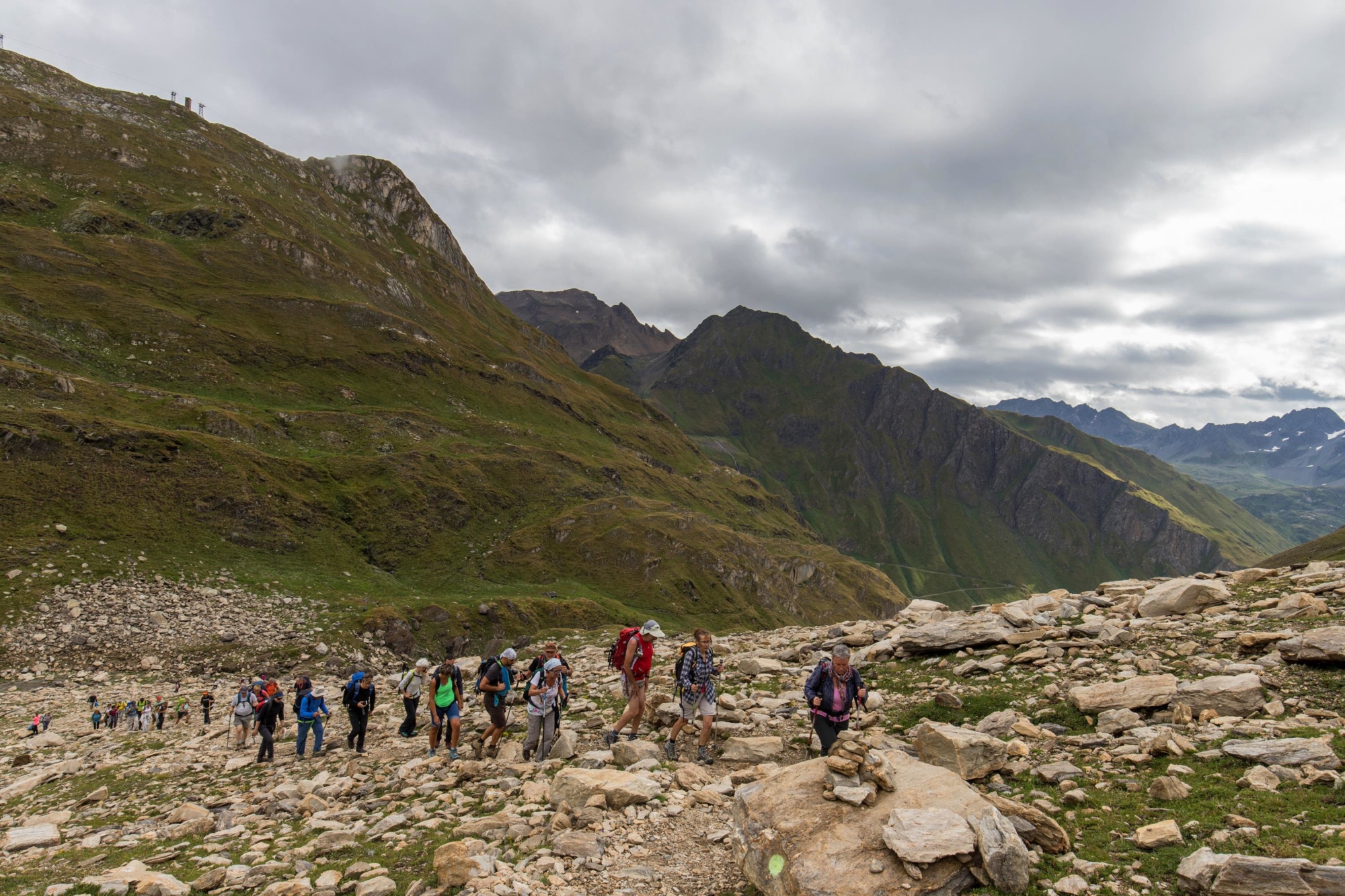
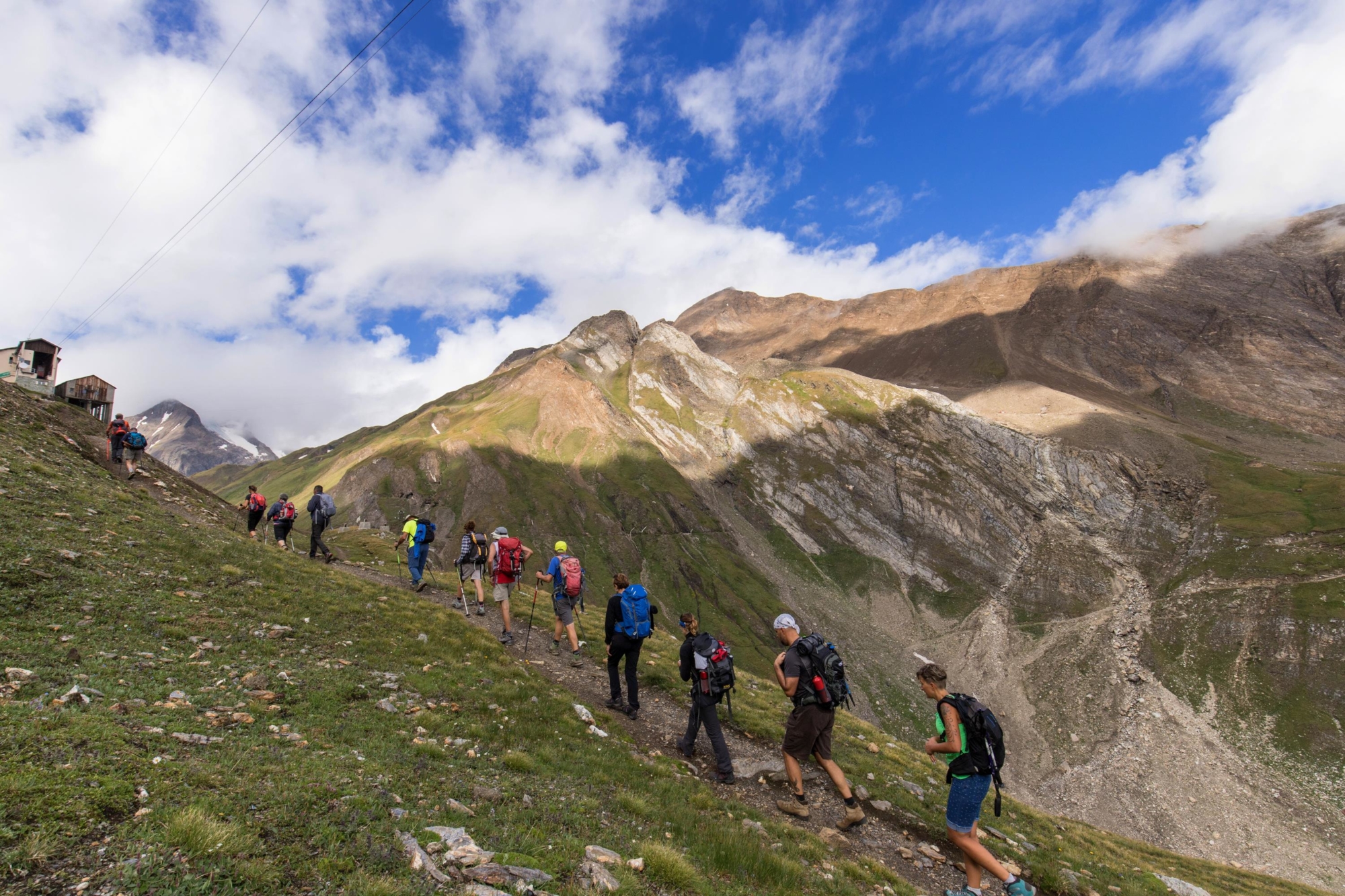
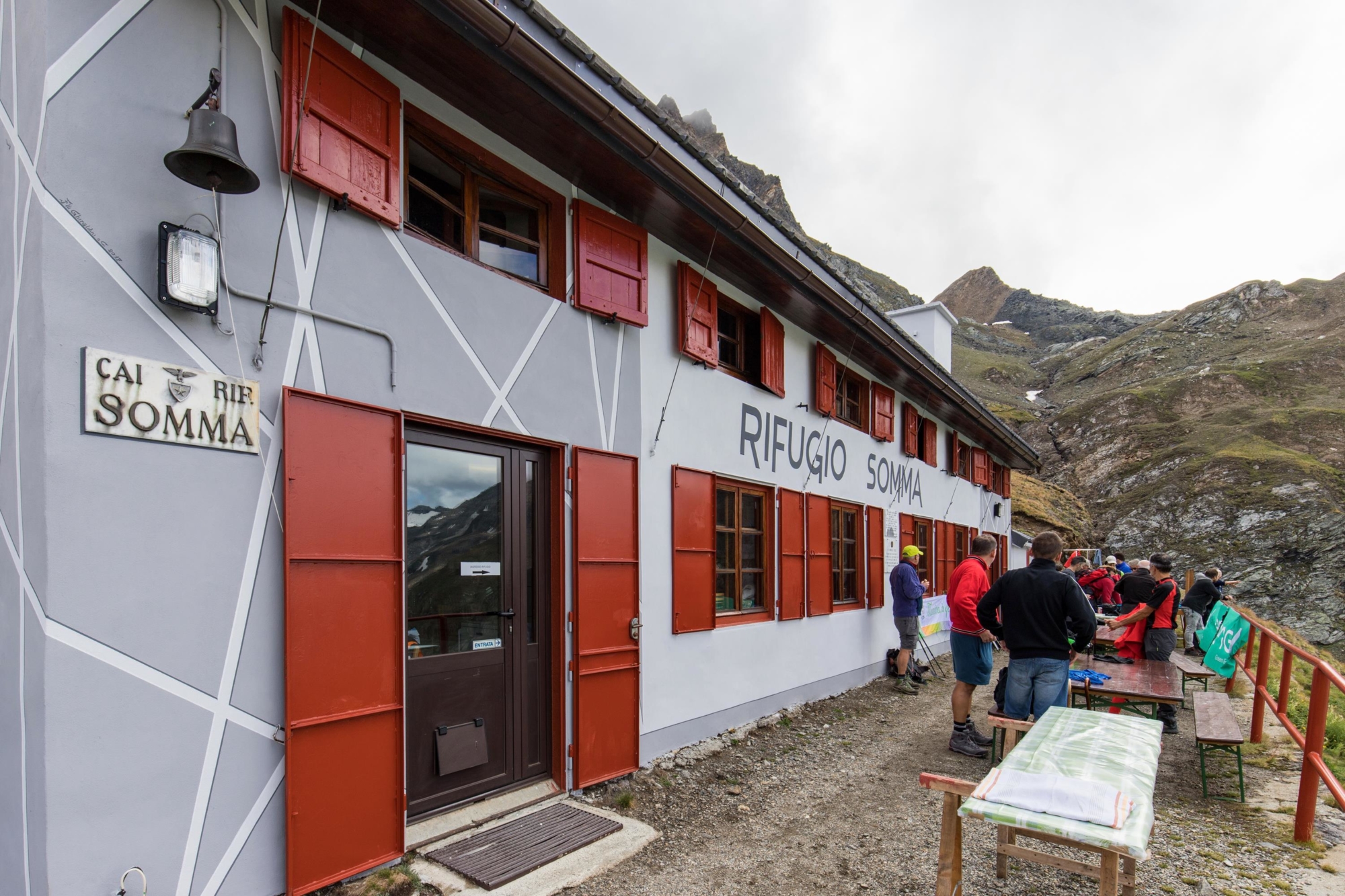
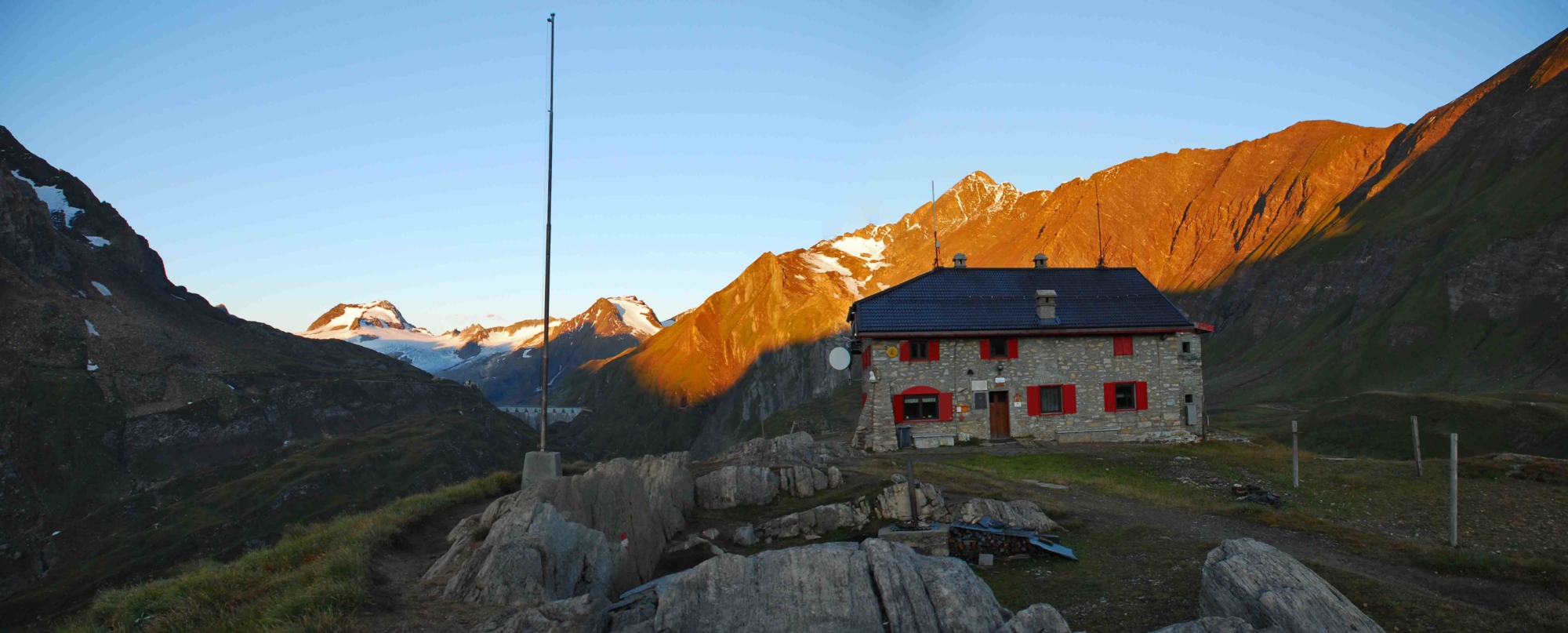
At the arrival of the bus in Riale, terminus of the public transport line and also of the Formazza Valley state road (for those who choose to reach it using their own means of transport), follow the paved road up to the foot of the Morasco dam, passing by the wonderful Walser village of Riale. At the foot of the dam (the Toce river officially starts here), a path leads to the top of the dam and from here continues on a dirt road to the base station of the private ENEL cable car. Continue on a path that crosses over the Rio Gries and then continue on the G00 path to a junction: turning left, take the G39 path that leads to the refuges. When you reach a saddle, leave path G39a on the right that leads to the Città di Busto Refuge to go down towards a small hut and cross the Rio dei Sabbioni. Then go up to the Sabbioni Dam, where the CAI Somma Lombardo Refuge is located.
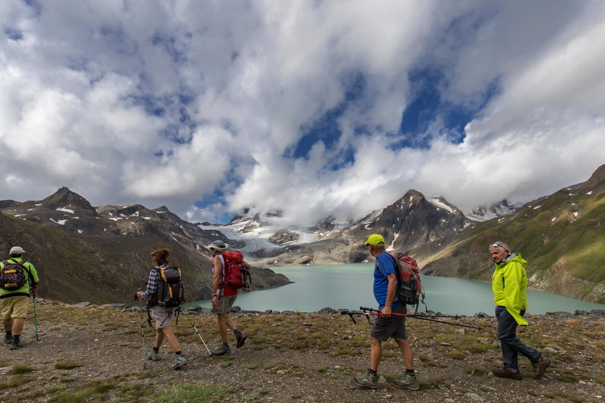
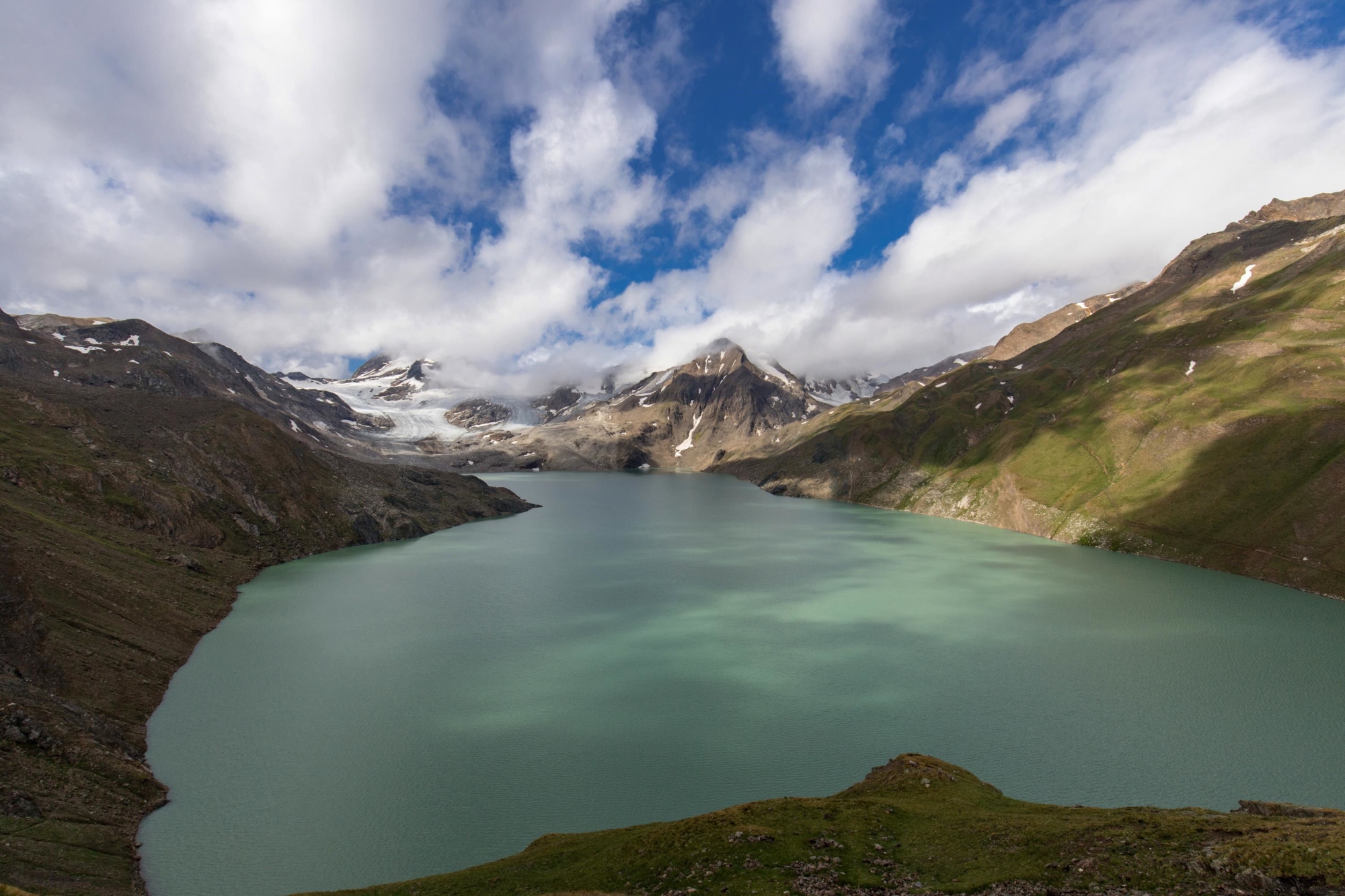
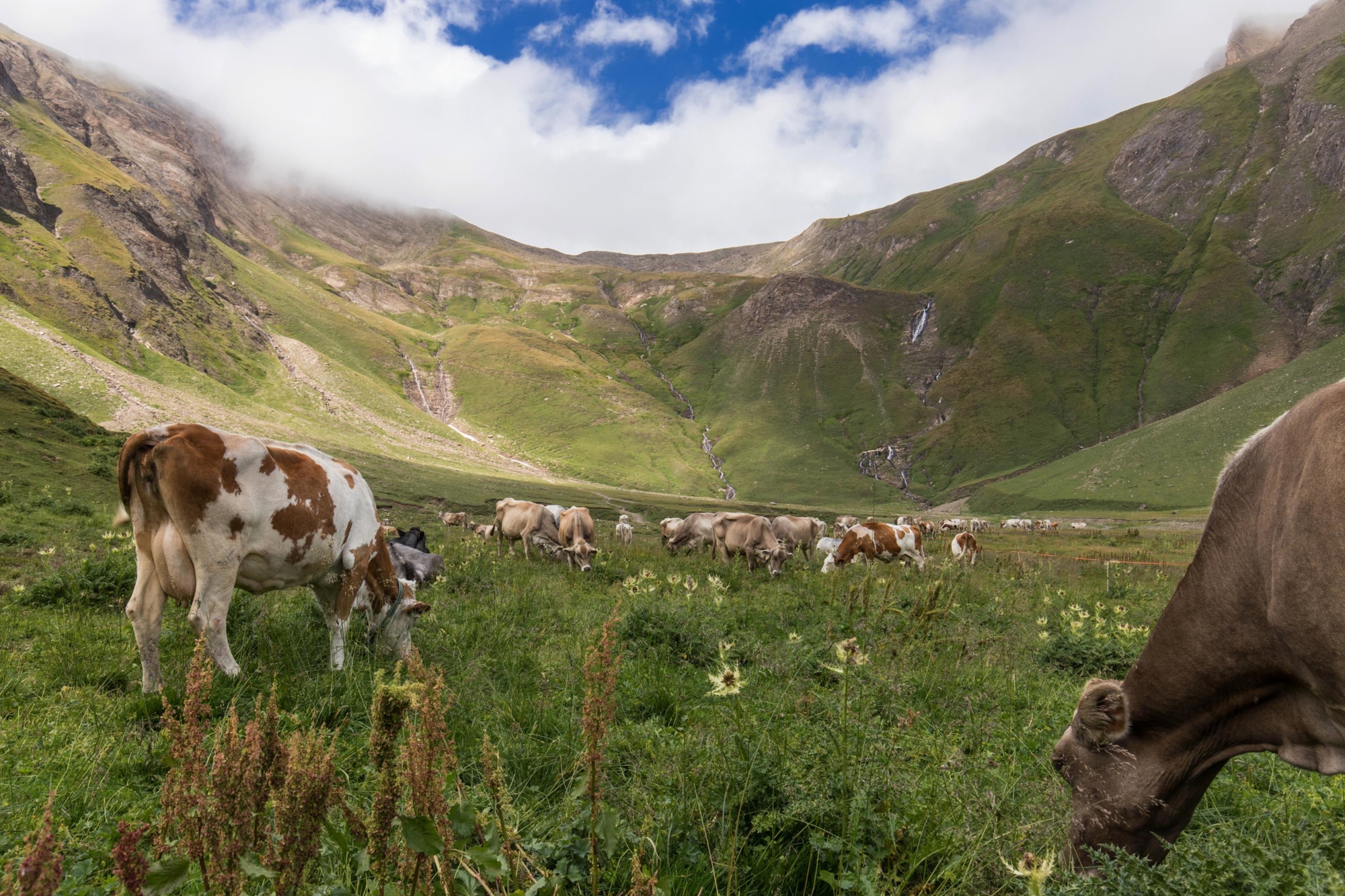
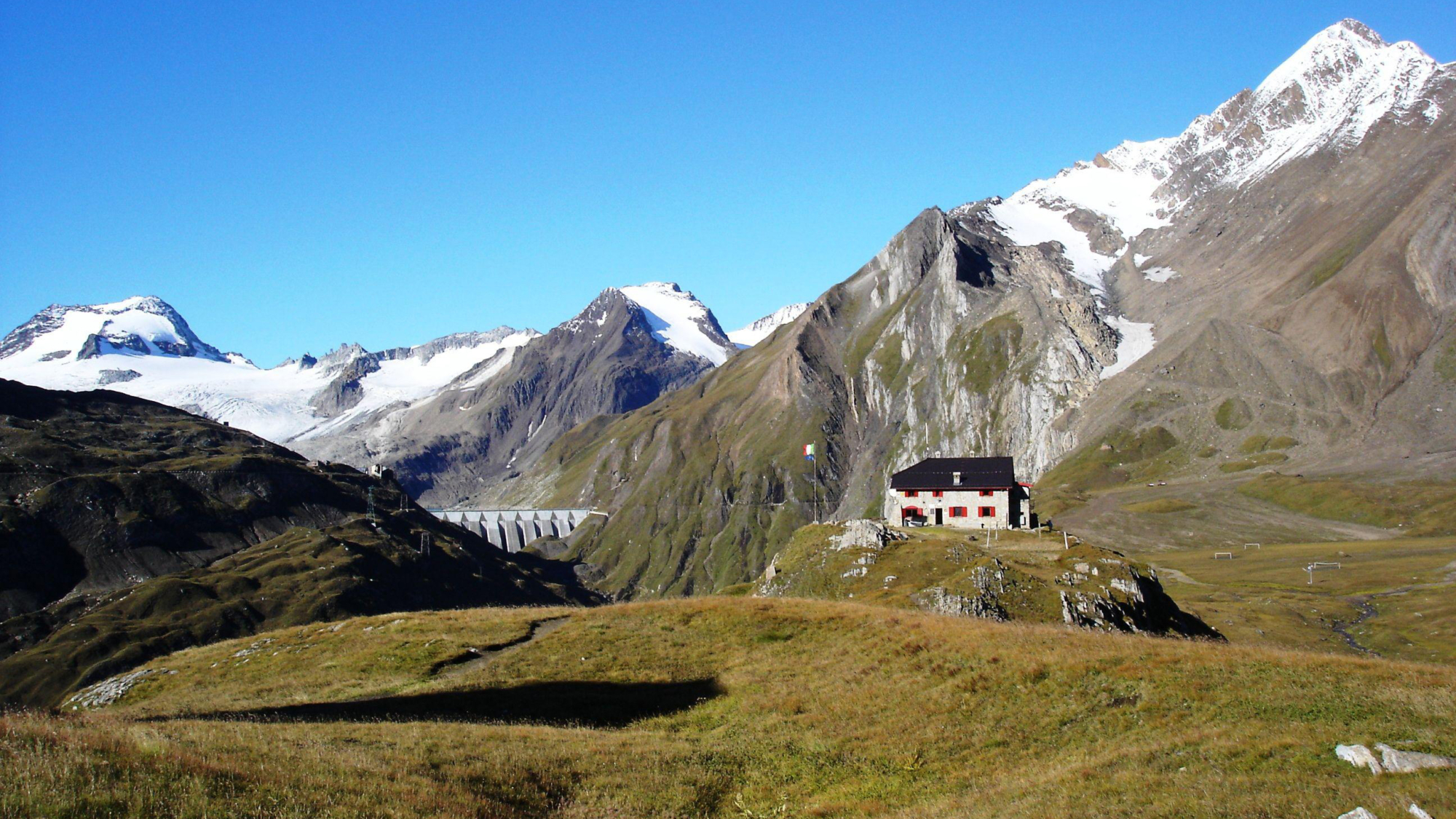
Head down to the dam, cross it and leave the path to the right for the Città di Busto Refuge. Continue along the lake, leaving on the right the path that climbs to Refuge 3A to reach Claudio e Bruno Refuge at 2710 m (8891 ft). Continue along route G39 in the direction of Refuge 3A, stopping at the view point indicated by the cross, before reaching the highest point of this itinerary, Refuge 3A at 2960 m (9711 ft). From this refuge begins a path that requires caution, passing over rocks, moraines and snowy stretches. Reach the Plain of Chamois: here the path is unimpeded and leads to the Città di Busto Refuge. Those who choose to complete the route in two days can follow the Castiglioni Trail on the second day, which leads to the Gries Pass, and then descend comfortably via the G00 path (Via del Gries). The simple route descends from the Città di Busto Refuge to the Battelmatt alpine pasture below, where exquisite cheese named after these splendid plains is produced. Continuing on the Via del Gries G00, you’ll join the route from your outward journey and from here go on to Riale.

Useful info

Italian Alpine Club (CAI) site identification code

Sector G “Routes” – IG25

Useful info

Domodossola FS International Railway Station (from Bern and Milan).
From the BUS terminal, take the Formazza Valley bus route, getting off in Riale
Contact details: Municipality of Formazza
CAI contact details: Formazza Section
Refreshment areas: Somma Lombardo Refuge – Claudio e Bruno Refuge – Refuge 3A – Città di Busto Refuge

Difficulty

Difficult. The well signposted route is for good walkers. Be careful on the stretch from Refuge 3A to Piana dei Camosci (Plain of Chamois).
Given the length of this excursion, it can be divided into two days, planning an overnight stay in one of the refuges along the route. On the second day, you can plan a variant over the Gries Pass mentioned in the route description.

Lenght

23,5 km

Ascent

1279 m

Total duration

8 hrs 25 min

Recommended equipment

Walking shoes and mountain clothing (the route is at high altitude and the weather may change suddenly, including unexpected snowfall).

Signage

G00 – G39 – G41 – G41a – G43

Best time of year

From July to September

Reference map(s)

Map no. 10 scale 1:25,000 of the Geo4Map/CAI
Digital maps on the following apps: ViewRanger – Avenza Maps

Historic, artistic and cultural value
Natural value
Ideal for
Everybody
You will discover
Nature
Sport
Guide to itineraries and useful info
Ideal for
Everybody
You will discover
Nature
Sport
Guide to itineraries and useful info
Choose your
mountain guide
IAT di Formazza
Frazione Ponte, 5 28863 Formazza (VB) See map
Choose your
tour or nature guide

You might also be interested in...