Hiking – Matogno Route
Difficulty
Medium
Period
Summer / Autumn

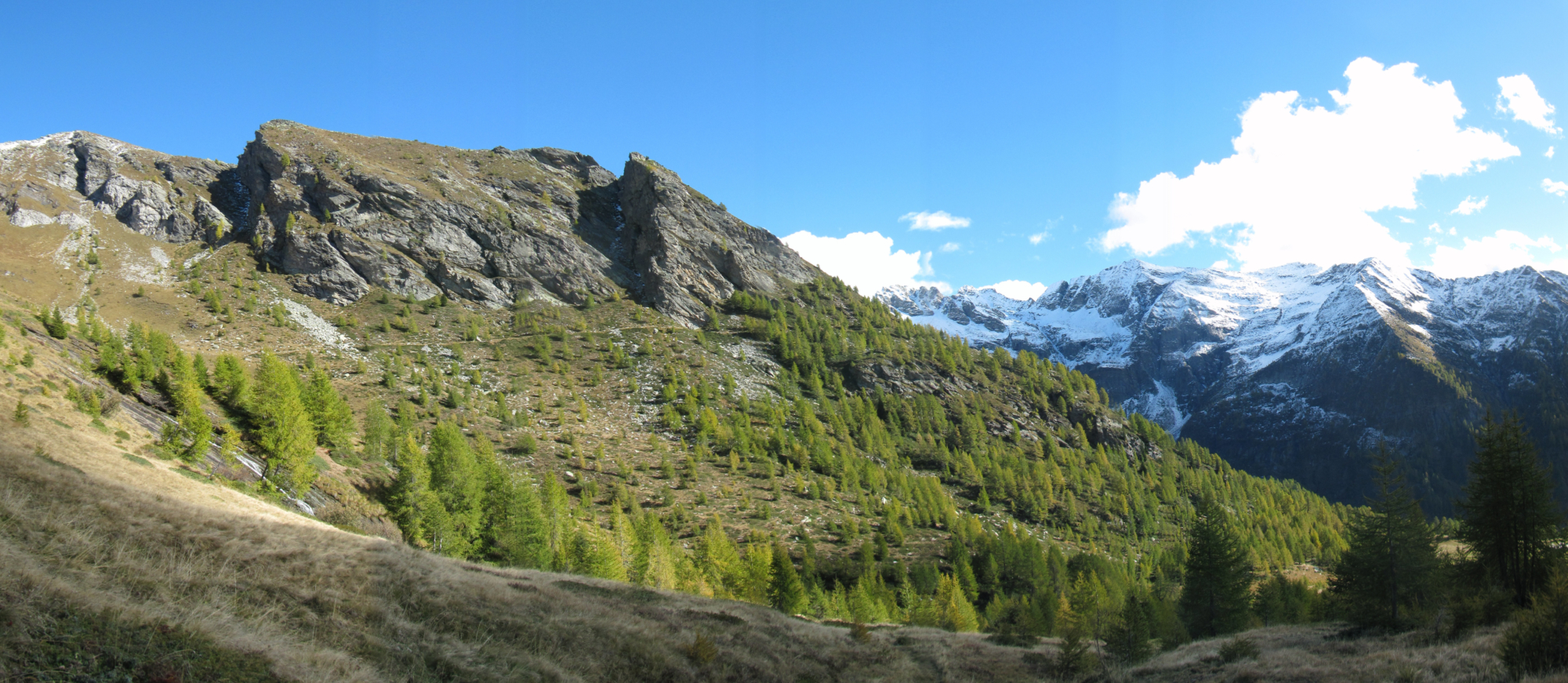
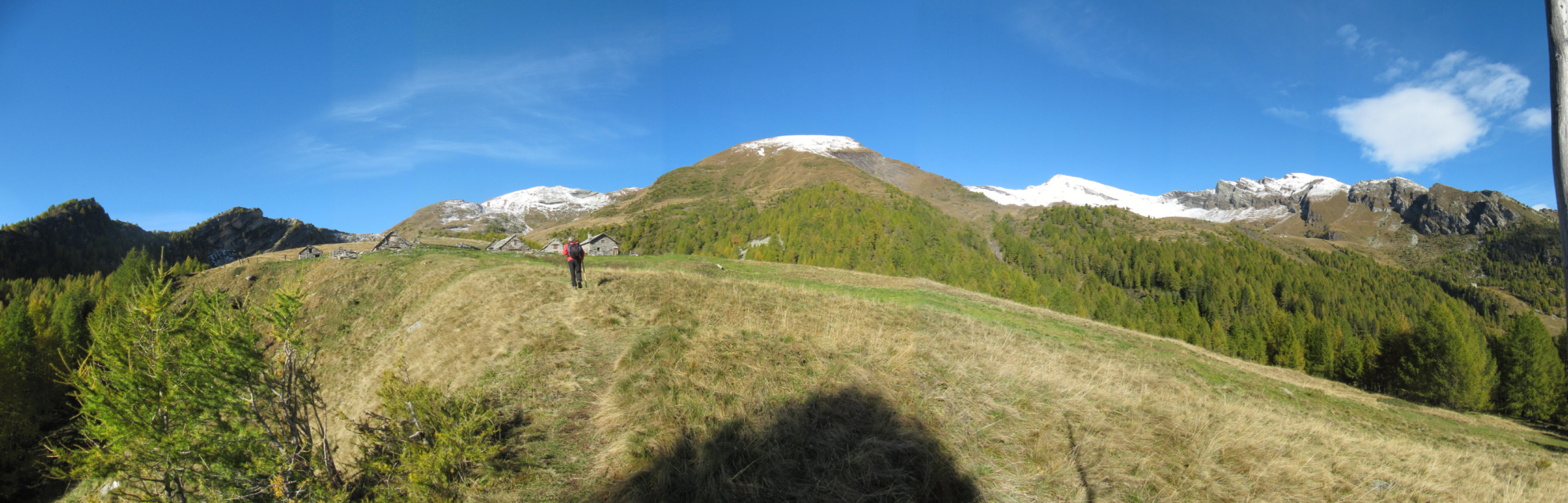
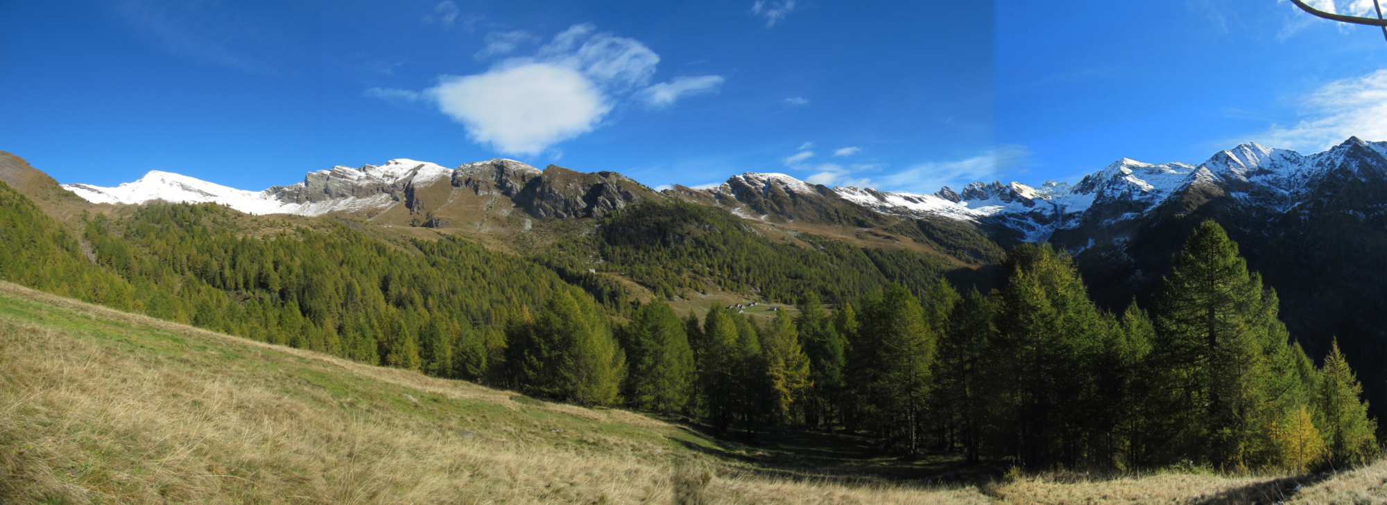
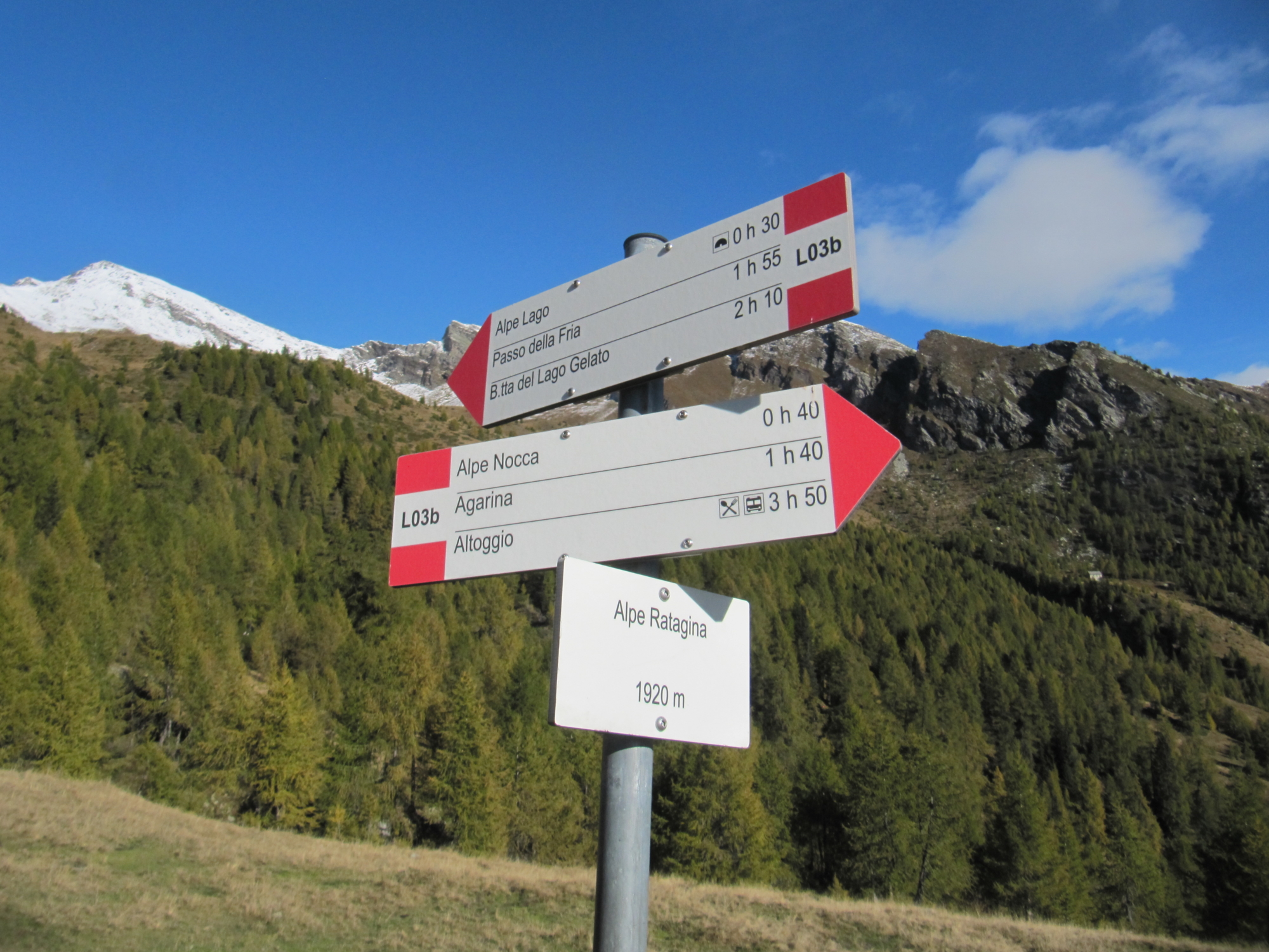
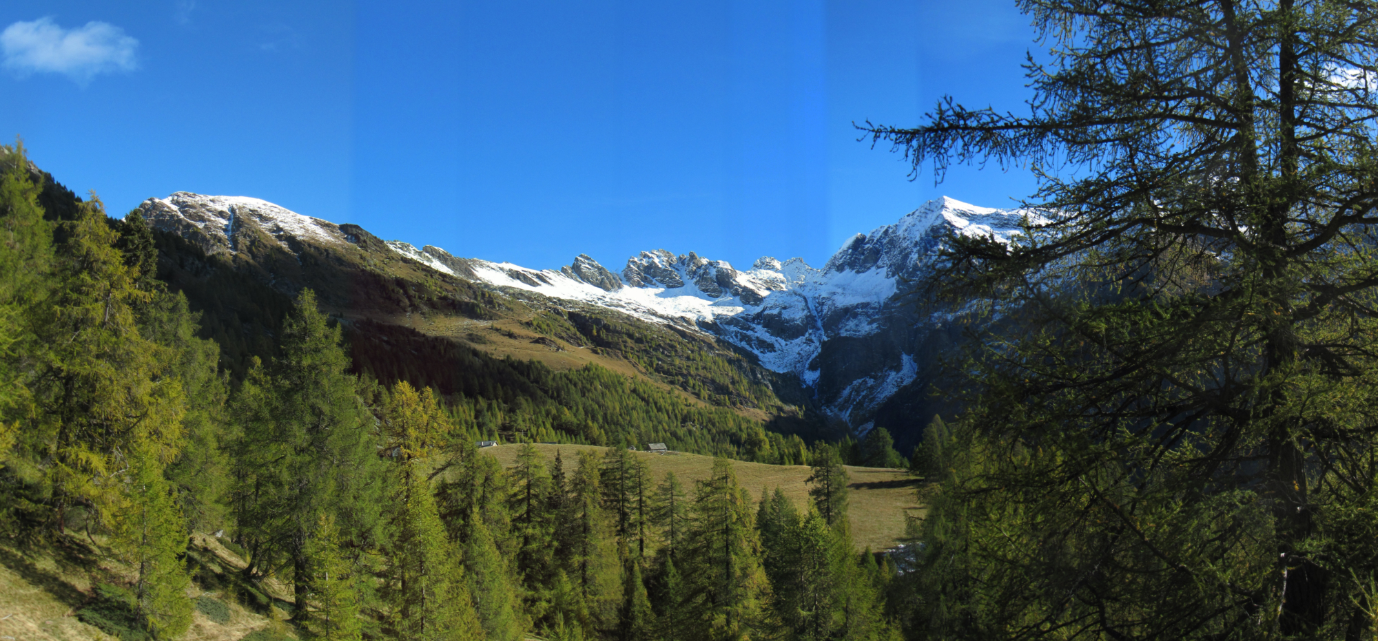
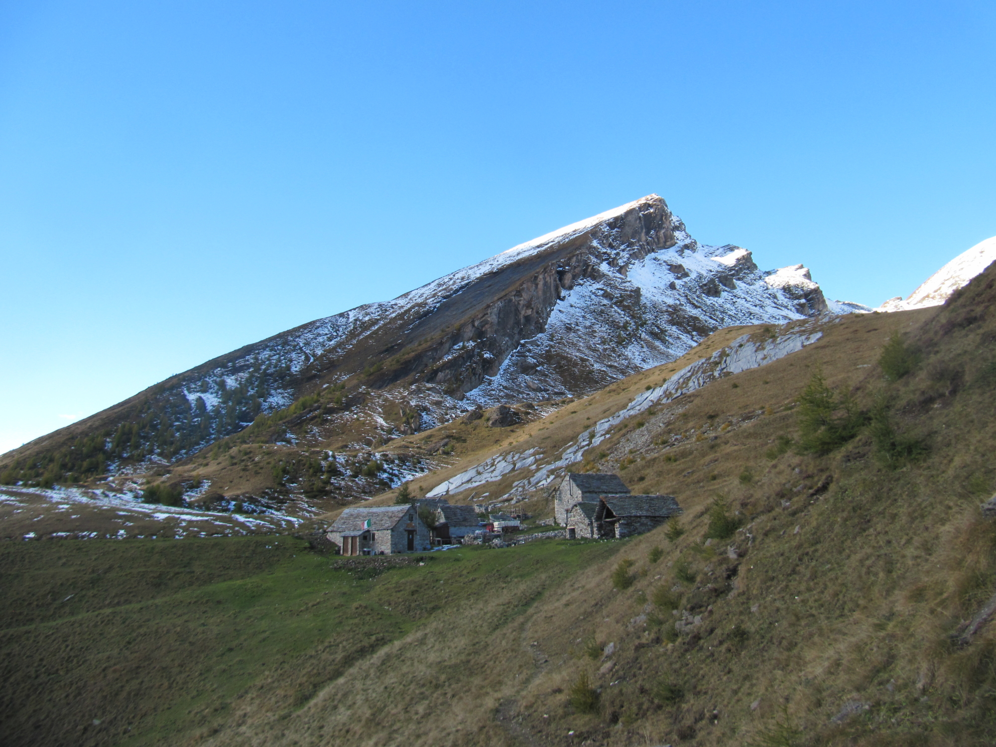
The seventh among the Ossola valleys, the Isorno Valley, offers a unique environment; narrow and rugged in the lower part, with wide open spaces higher up. These two macro-areas are divided by the Alpe Agarina plateau, the starting point of this route. At the top you can admire the immense pastures of the Cravariola, picturesque lakes and rugged peaks. The history of past centuries tells of hard battles for the possession of the Alps and in more recent history there are many testimonies to the passage of smugglers, in this land of borders and trade.

Description

The ideal starting point is near the illustrative board of the routes located in the centre of Agarina, at the end of the paved road. From here take the trail along the L00 route and, at the fork with the L03a route, take the road that passes by Cappella delle Scale chapel. Join route L03 until just below Alpe Nocca, then turn right for Alpe Ratagina and from here climb up to Adriano Sironi camp. The way back follows route L03, which after having skirted the former barracks of the Guardia di Finanza (Finance Police), descends to the beautiful plateau of Alpe Matogno and from here to Alpe Nocca. You’ll meet the route you took on the first leg, leaving it just below you and continuing on the L03 path, which crosses the L00 path at Ponte Faugiol. The trail then leads back to the starting point.

Useful info

Italian Alpine Club (CAI) site identification code

Sector L “Itineraries” – IL05

Useful info

Contact details: Municipality of Montecrestese
CAI contact details: Domodossola Section

Difficulty

Medium difficulty. Be careful on the first uphill stretch as the footpath is not very well-trodden.

Lenght

12,5 km

Ascent

870 m

Total duration

4 hrs 45 min

Recommended equipment

Hiking boots

Signage

L00 – L03a – L03 – L03b

Best time of year

From June to October

NOTES

The route starts at a point that cannot be accessed by car and/or public transport. It can only be reached on foot from Altoggio (hamlet of Montecrestese). Historical route L00 allows you to get to Agarina in about 2 hr 15 min on the way and 2 hr on the way back (7.5 km – 4 1/2 mile – route). The overall route is therefore only possible in two days, with an overnight stay at the Adriano Sironi camp near Lake Matogno.

Reference map(s)

Map no. 12 scale 1:25,000 of the Geo4Map/CAI
Digital maps on the following apps: ViewRanger – Avenza Maps

Value of traditional and peasant life
Natural value
Ideal for
Everybody
You will discover
Nature
Sport
Guide to itineraries and useful info
Ideal for
Everybody
You will discover
Nature
Sport
Guide to itineraries and useful info
Choose your
mountain guide
IAT di Domodossola
Piazza Matteotti (inside the railway station)
28845 Domodossola (VB)
See map
Choose your
tour or nature guide

You might also be interested in...