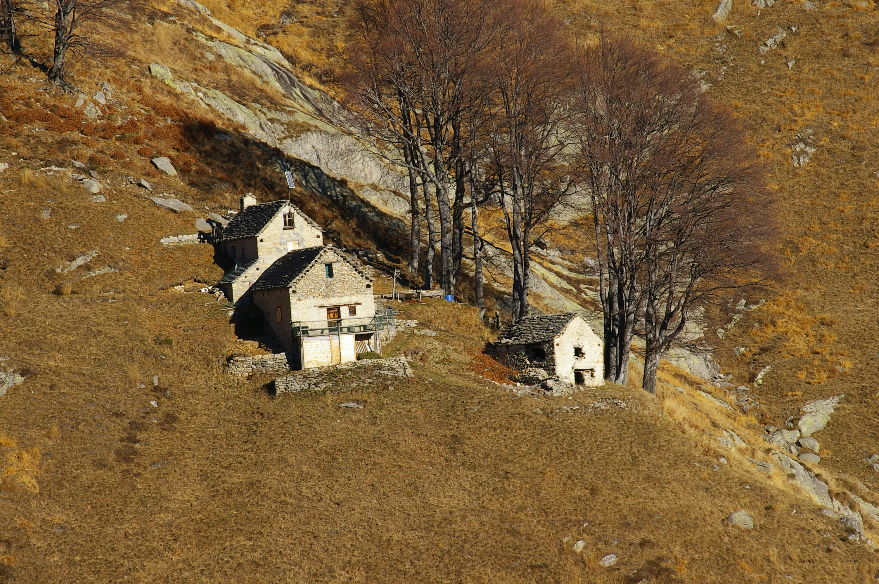
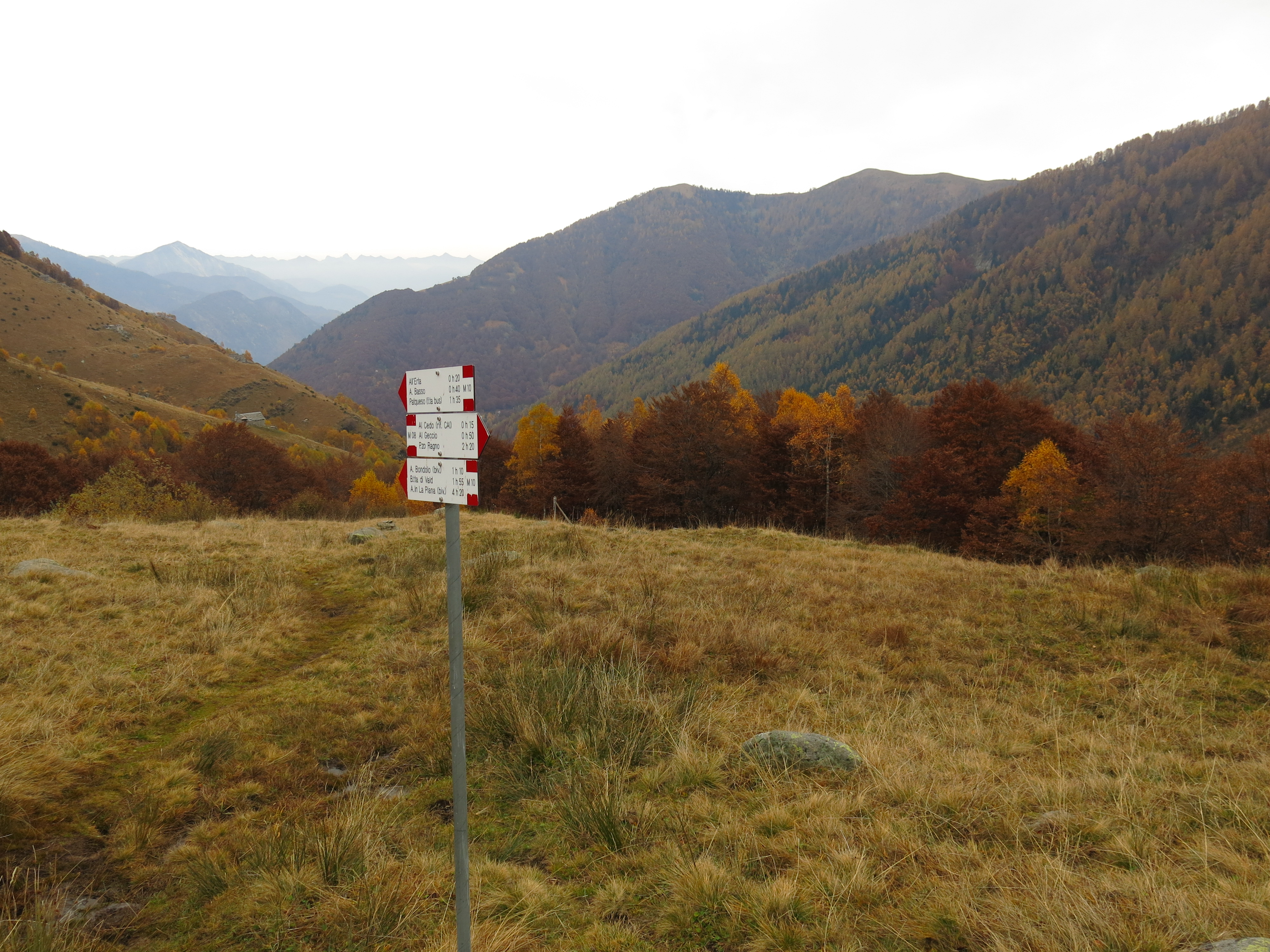
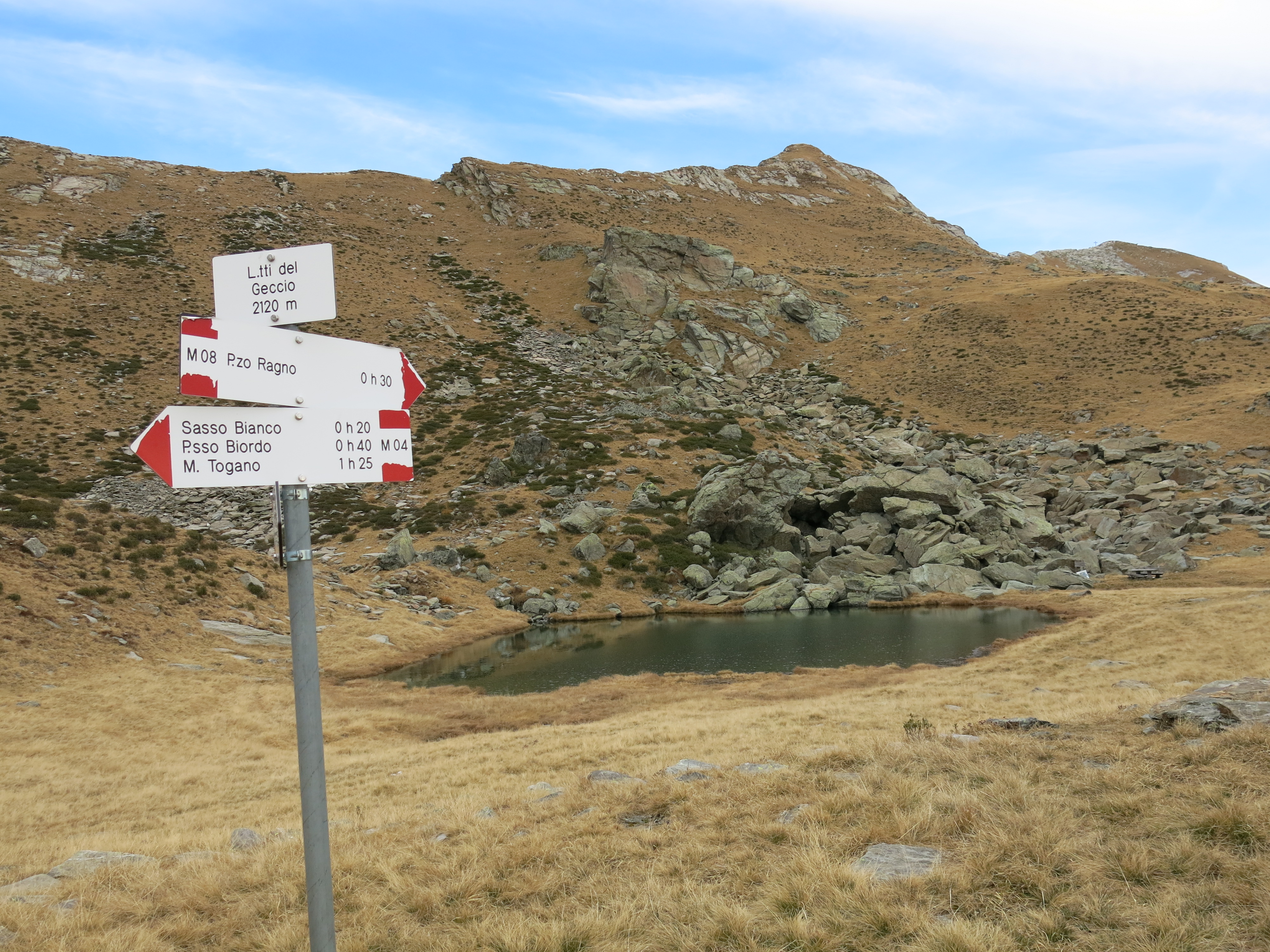
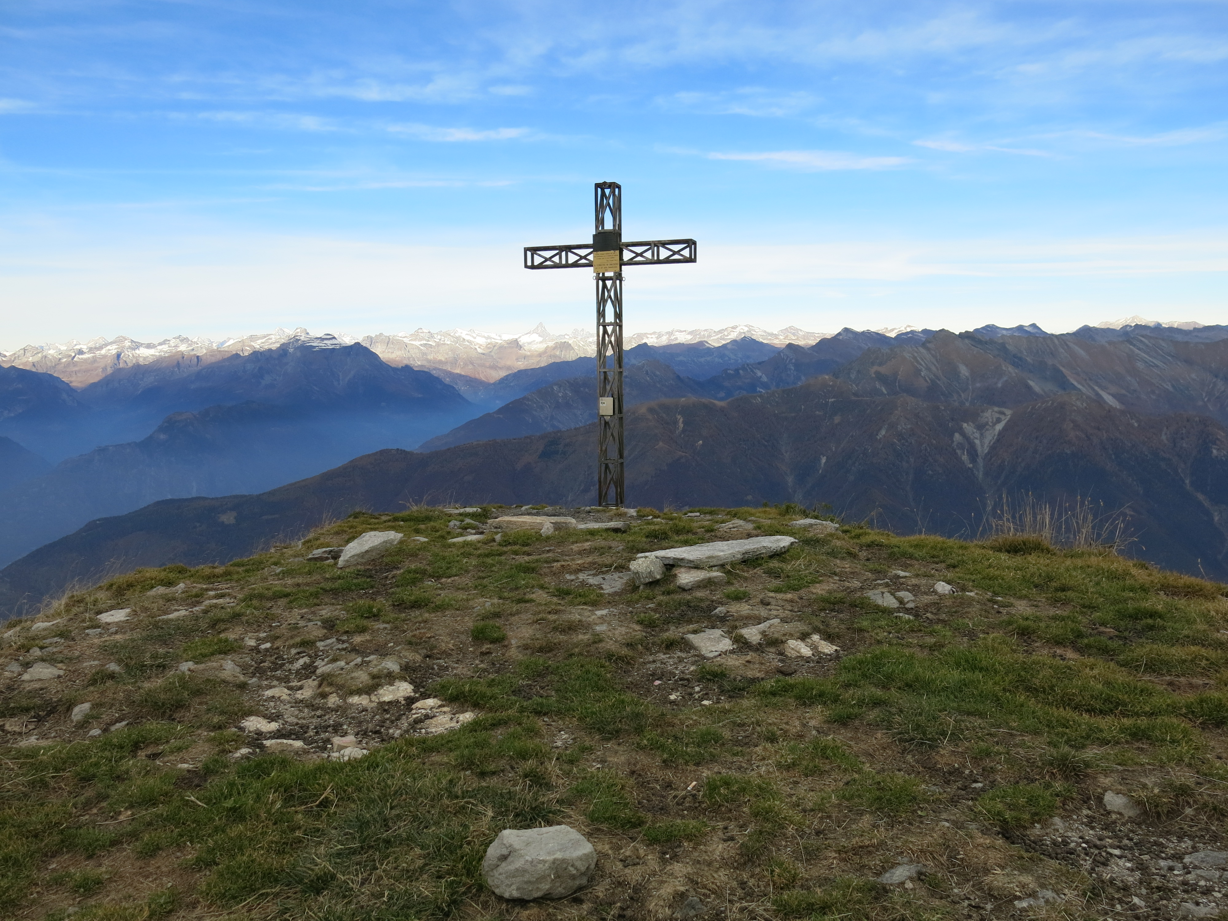
From Santa Maria Maggiore, travel to Malesco and from here take the road to the Loana Valley. After about 4 km (2 1/2 miles) you’ll find a small car park on the left of the road with a bus stop. Leave your car in the car park or 100 m (100 yards) ahead near the bridge. At 50 metres in the direction of Malesco, near the notice board, the mule track starts downhill towards the woods and meadows of Patqueso. The route is marked (M10b) and first crosses the bridge over the Loana stream and then the bridge over the Rio Basso. The next stop is the newly built road, which continues along the M10 route to Alpe Basso. Here the mule track begins: just before the end of the road, a path branches off to the right, which you should follow as far as Alpe Erta. In the small hamlet, shortly after crossing the Rio Erta, the paths split: in front of you, along the flat towards Alpe Bondolo and Bocchetta di Vald, on the right, follow the route uphill towards Alpe Al Cedo and Pizzo Ragno (M10e). After a stretch in the woods with hairpin bends you reach the meadows of Cedo and the Vigezzo CAI refuge. The route continues uphill, turning slightly to the left to descend across the Rio Castello and reach Alpe Geccio. Here the path is marked but, as it crosses the pastures, if visibility is poor it’s not always very easy to find. Passing between the two stables on the Alpe, go up, keeping slightly to the right until you reach the ridge. Here, do not follow the path that descends towards the soapstone rock, but instead follow the ridge in a north-westerly direction to a small reservoir and then to a small valley where the Rio Castello flows, after which turn right to the lake of Geccio. Continuing in the same direction (north-east), go up on a path along the hillside towards the top of Pizzo Ragno. The view is truly incredible: the Vigezzo Valley below looks like a crèche and lifting your gaze your eyes will delight in mountain chains and valleys as far as the eye can see in all directions. The return is on the same route as the outward journey; don’t forget the ascent up to the road at the end of the hike.