Hiking – Via Romana: from Crevoladossola to Vogogna
Difficulty
Easy
Period
Spring / Autumn

You can begin this first section of the historic road linked to the Strada Romana from the bus stop in Crevoladossola (you can also get there by car). Crevoladossola was once the gateway to the Sempione and Gries passes. To this day, the route still runs past the visible remains of the Silva Castle, the Church and the old Castelluccio blockade from these bygone times.

Description

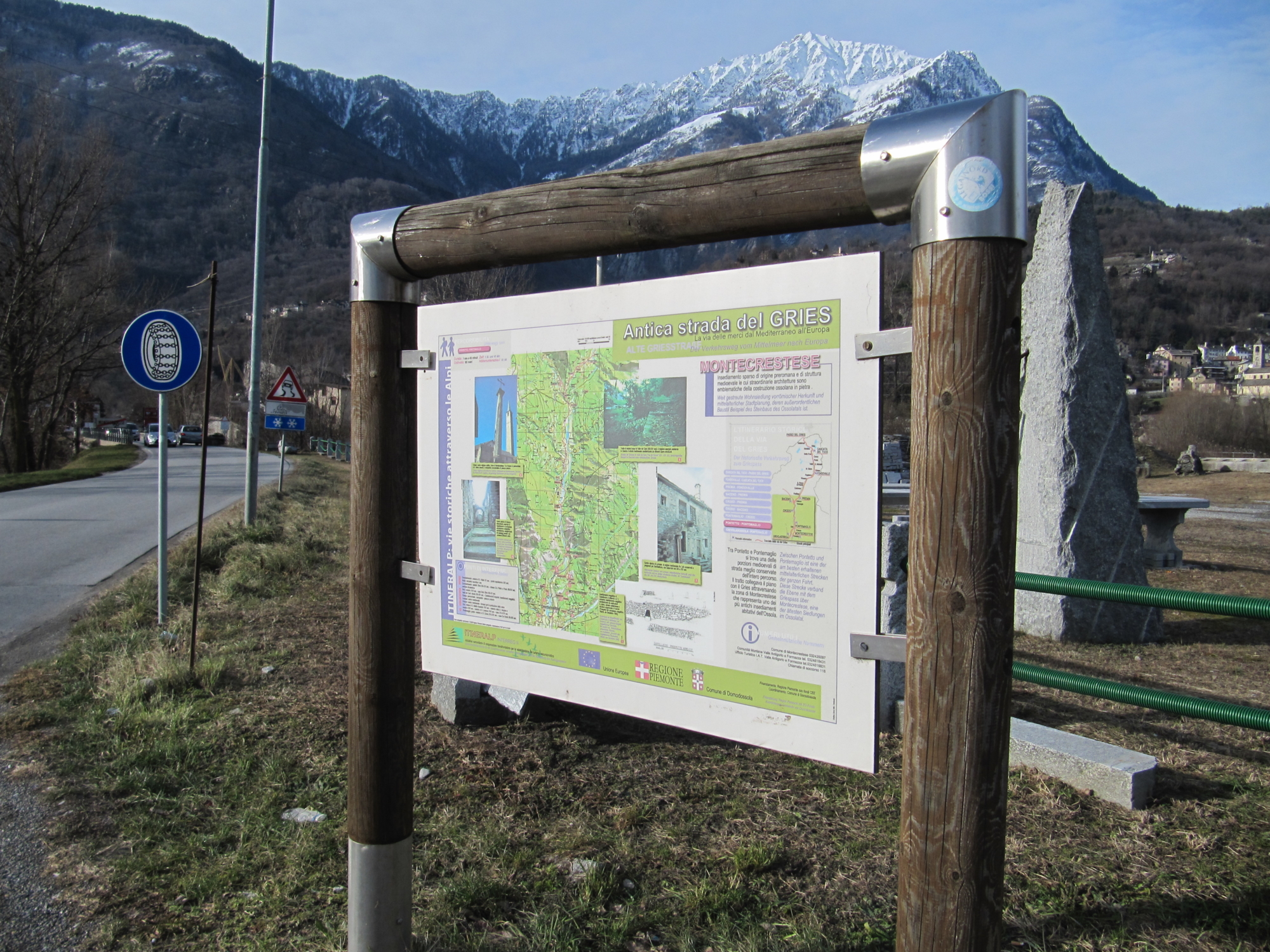
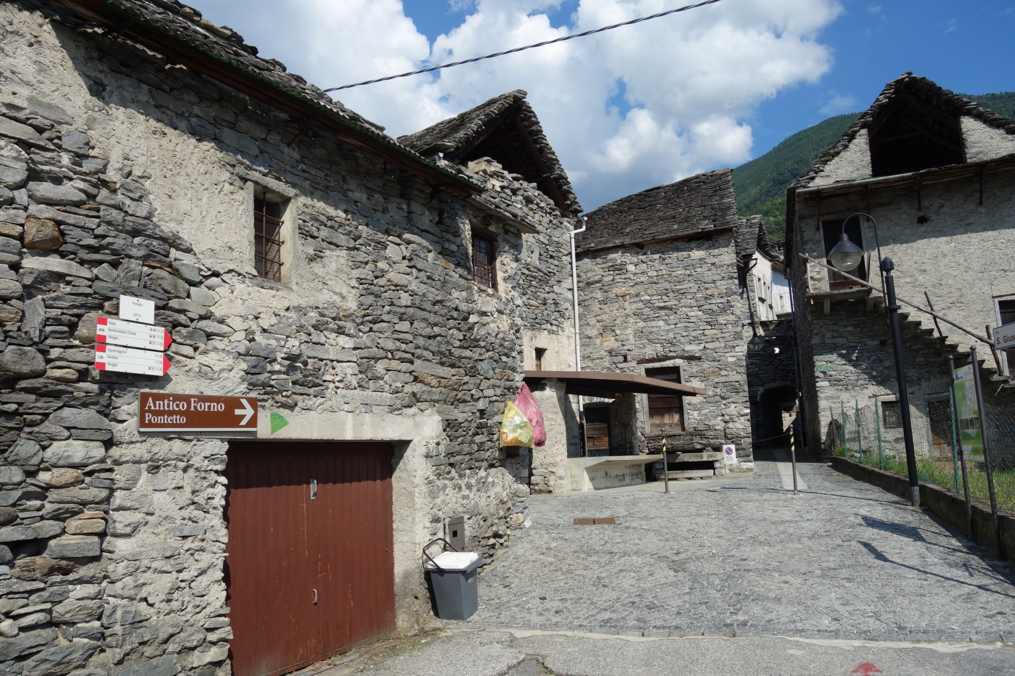
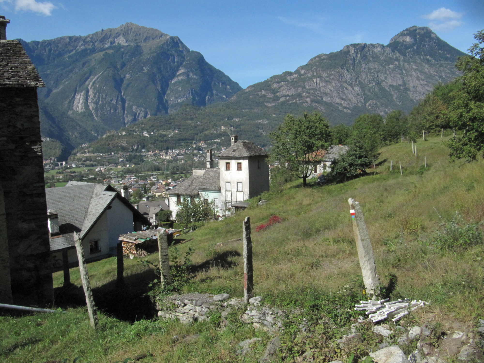
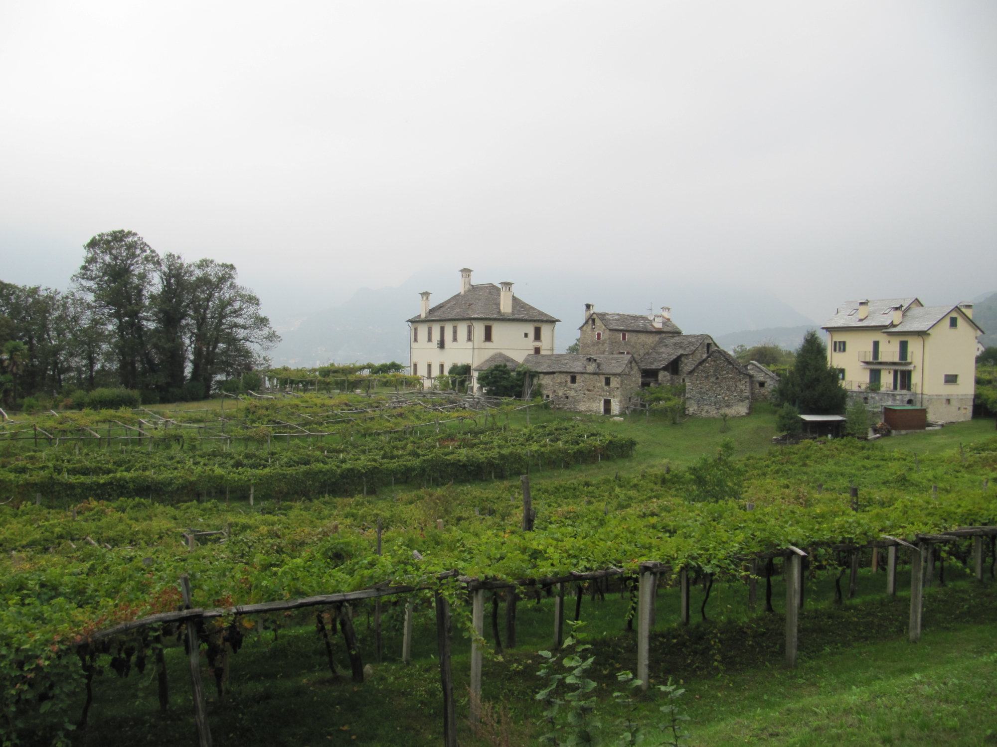
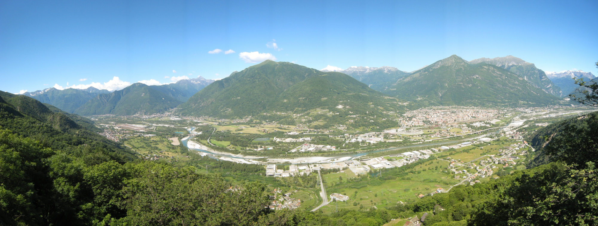
The Strada Romana itinerary begins by hugging the Tana Lake, Crevoladossola’s little treasured oasis, and then continues to Pontetto, one of the villages on the lower slopes in the municipality of Montecrestese. Once past the imposing lever wine press at the entrance to Masera, the route slopes upwards through typical villages with terraced vineyards, old presses, town ovens, villas, towers and oratories.
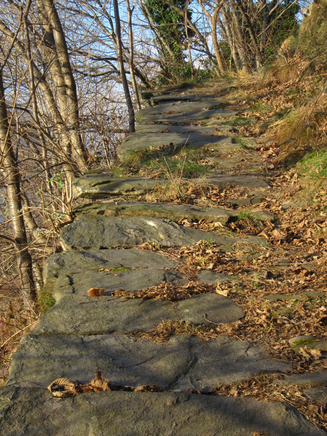
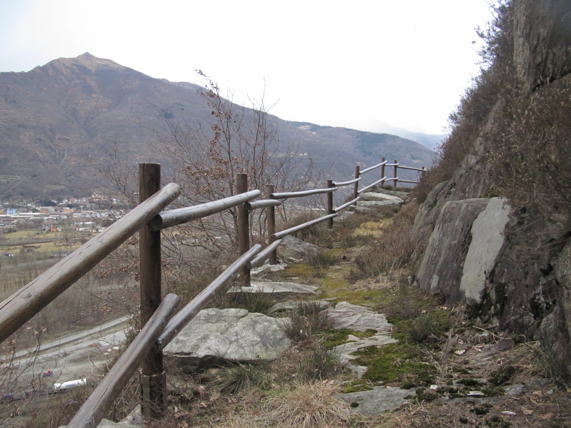
The itinerary crosses the Melezzo River to reach the villages in the municipality of Trontano, where you can stop to admire the vineyards in Pello that grow the ancient grape variety, Prünent, and the mystical tower in Creggio. Hikers are then led down to the village of Croppo, in the municipality of Trontano, to then pass through the Cosa gardens along a cobbled stretch of the ancient road, which takes them to Quarata, and from there, over the countryside to reach Beura. Beura is an old medieval town with towers, ancient stone dwellings and castles. The itinerary continues along the main road towards Cardezza, passing by the old Beola quarries: just beneath the tower in Cardezza, the route carries on along a beautiful paved section of the ancient road, which leads to Cuzzego.
The original route, which has now been covered over by the existing road, used to pass under the remains of the Bulfer tower and oratory, and led to the village of Prata. The itinerary then reaches Masone, with its natural rampart created by thickly growing tree heath, where there was once a port controlled by the Knights of Malta. Ships would arrive at the port from Lake Maggiore with goods carried by merchants who were on their way to the alpine passes.
Opposite the port, there once stood the ancient “Pietra Santa”, or holy stone, which was destroyed by floodwaters from the Marmazza torrent. In its place now lies the modern-day town of Vogogna, the stronghold of Visconti family in Ossola.
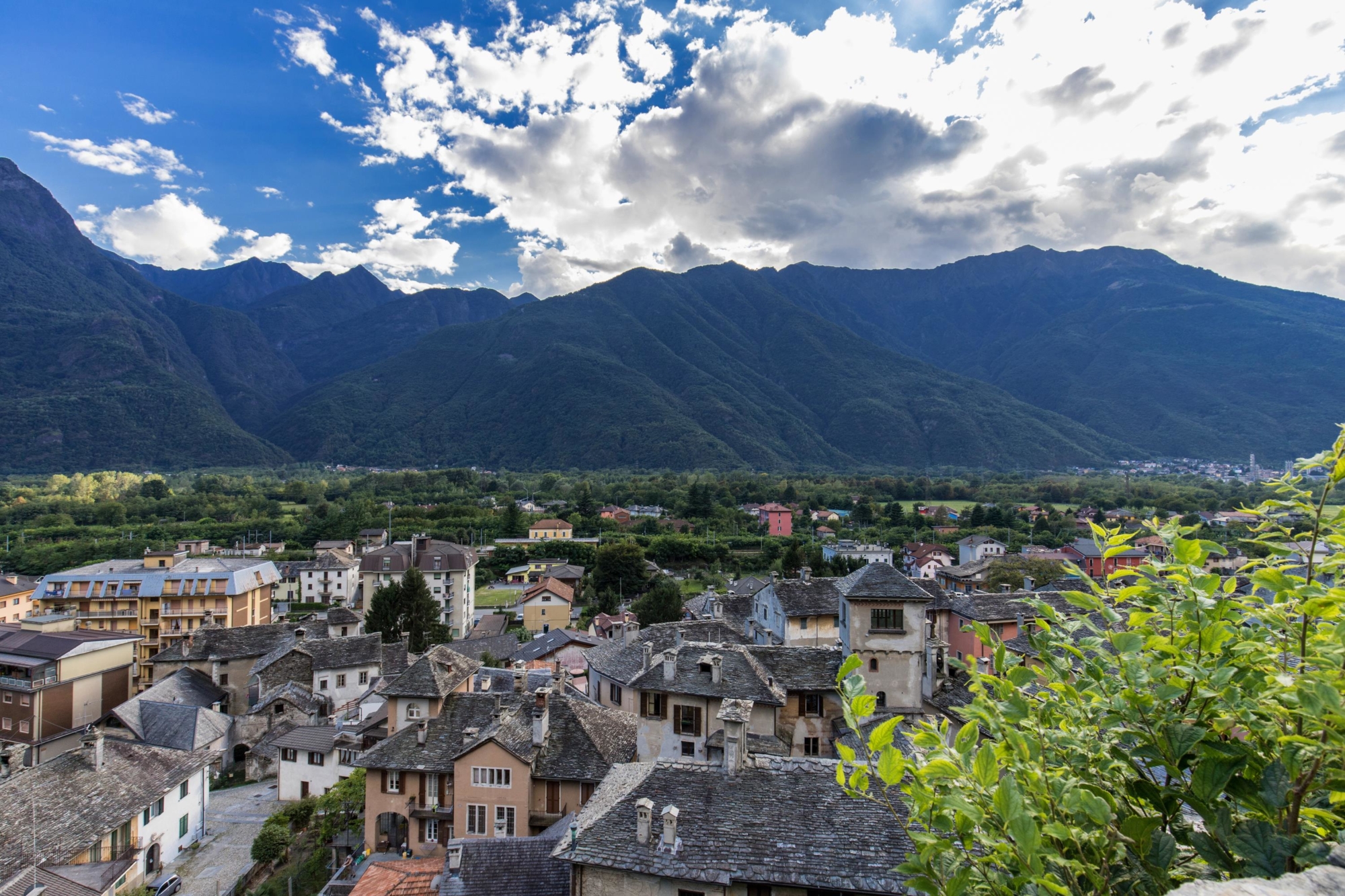
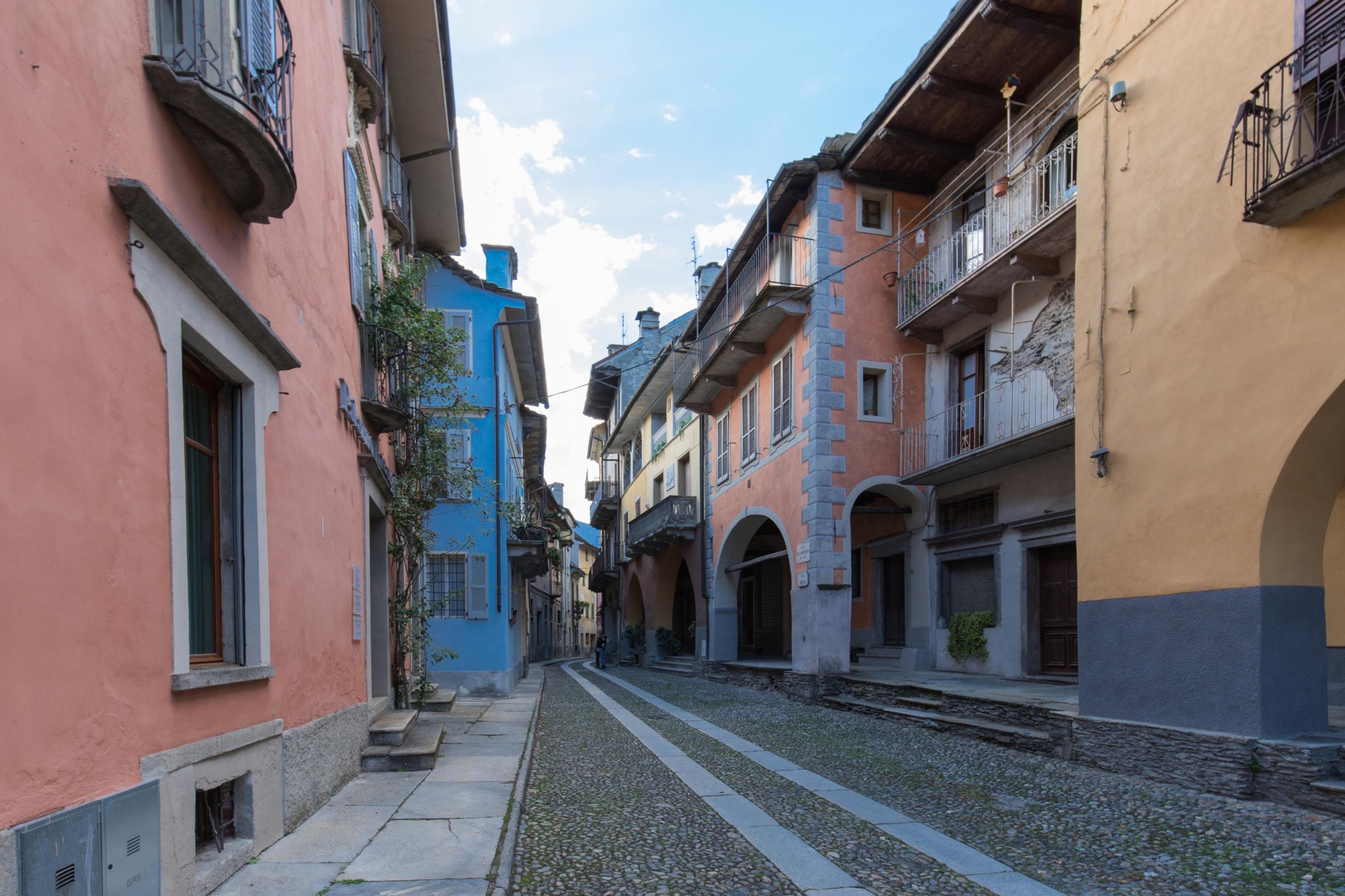
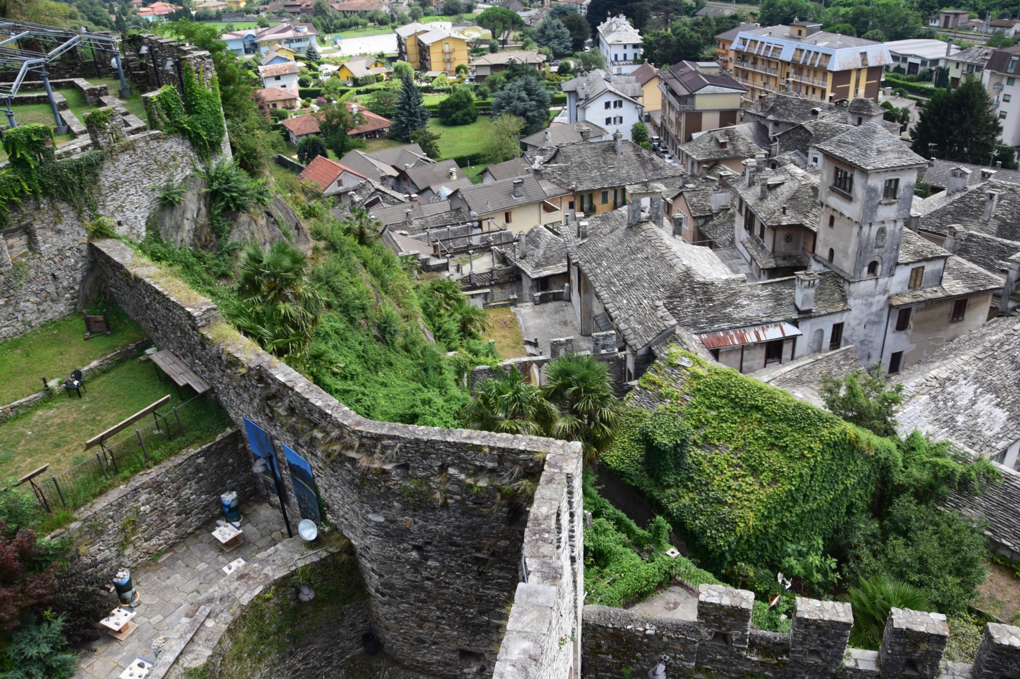
Old churches, engravings, the famous Celtic mask, ancient convents, the Longobards Fortress, the Visconteo Castle and the medieval town are just some of the must-see sights in Vogogna, awarded an orange flag in the Touring Club Italiano listing, and the last stop on this first stretch of the Strada Romana.

DISCOVER THE OTHER STAGE OF THE VIA ROMANA
Stage 2 – From Vogogna to Mergozzo

Useful info

Italian Alpine Club (CAI) site identification code

Sector A “Historic Routes” A00

Places visited

Crevoladossola, Tana Lake, villages in Montecrestese, villages in Masera, villages in Trontano, Beura, villages in Beura, the area surrounding the old port in Masone, Vogogna

Points of interest along the route

  • Silva Castle in Crevoladossola
  • The Crevoladossola church
  • Tana Lake
  • Town of Pontetto, including the town oven, washhouse and chapels
  • The lever wine press in Masera
  • The town of Cresta
  • The town of Rivoira, including the town oven, lever wine press, tower and oratory
  • The Villa Caselli park in Masera
  • The Masera church
  • The ancient Prünent vineyards
  • The Creggio tower
  • Sections of the old mule track
  • Towers, remains of Beura Castle, the creamery (now a dairy museum) and the old mill
  • A paved section of the ancient Strada Romana
  • Remains of the Bulfer tower, the mill and town oven in Prata
  • Section of the Via Romana towards Masone
  • Celtic mask and the San Pietro Church in Dresio
  • Old oratories
  • Medieval town of Vogogna, including the Visconteo Castle

Accommodations

Accommodation facilities in Vogogna.
Alternatively, you can go back to Domodossola by bus or train.

Useful info

Transport: Domodossola FS International Railway Station (from Berna to Milan). From the Bus Terminal, bus to Crevoladossola.
Club Alpino Italiano reference: Domodossola and Villadossola divisions
Places to eat: in towns on the itinerary

Difficulty

Easy trail. Most of the itinerary covers the mule track, secondary roads and town roads.

Lenght

25,7 km

Ascent/descent

Ascent 421 m / Descent 569 m

Time to complete the route

7 hrs 20 min

Recommended equipment

Walking boots

Signage

A00

Reference map(s)

Map No 4 scale 1:50.000 Club Alpino Italiano/Province of VCO
Map No 9 – 12 – 14 scale 1:25.000 from Geo4Map/Club Alpino Italiano
Digital map app: ViewRanger – Avenza Maps

Historic, artistic and cultural value
Value of traditional and peasant life
Ideal for
Everybody
You will discover
Nature
Sport
Guide to itineraries and useful info
Ideal for
Everybody
You will discover
Nature
Sport
Guide to itineraries and useful info
Choose your
mountain guide
IAT di Domodossola
Piazza Matteotti (inside the railway station)
28845 Domodossola (VB)
See map
Choose your
tour or nature guide

You might also be interested in...