Hiking – Via Romana: from Vogogna to Mergozzo
Difficulty
Easy
Period
Spring / Autumn

The route provides time to visit the town centre and Palazzo Pretorio in Vogogna (bus stop on the main road), before heading down to intersect with the provincial road. The itinerary continues on a section of paved road to then bear left along a stretch of the old “La Carale” road, flanked by the typical slabs of stone that mark the edges of the carriageway.

Description

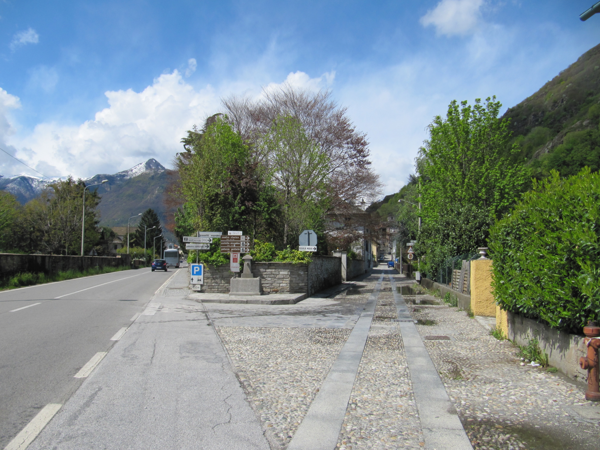
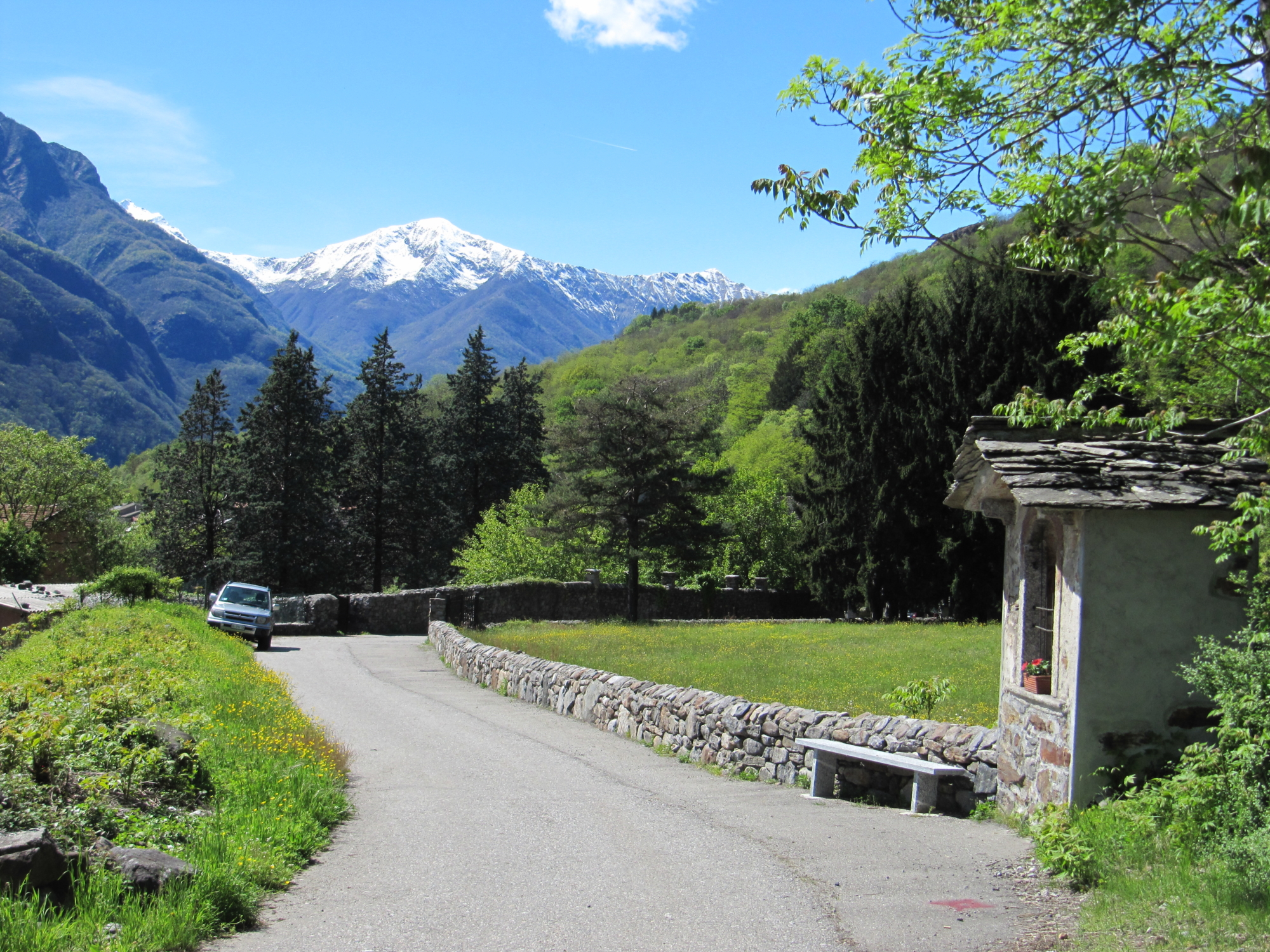
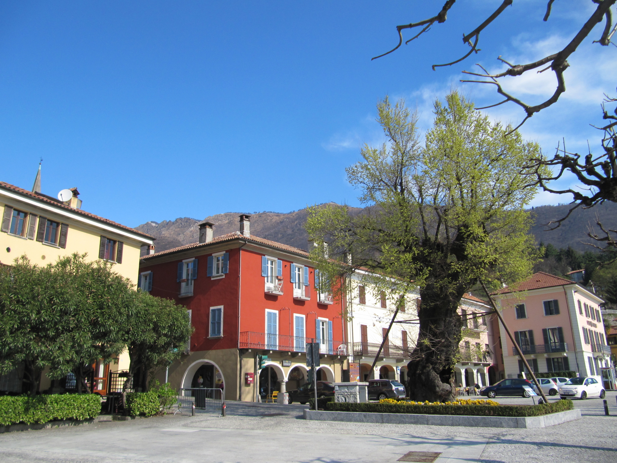
The trail takes hikers into the old country village of Premosello Chiovenda to the church, with its bell tower, which for a long time functioned as the town’s signal and toll tower. The trail covers a section of bicycle track on the pavement to then bear left along a side road that leads to the shopping area of the town. After travelling along a stretch of provincial road, the route goes over a bridge and bears right along the railway underpass. The country road near Cuzzago then leads back to the paved road that slopes up to reach the mule track and then the Scopello Oratory.
Here the itinerary takes hikers through the village of Cuzzago to see the Linea Cadorna, the defence line that was built during the First World War.
The trail continues towards Candoglia, the town famous for the quarry that was used to build the Milan Cathedral, known as the Fabbrica del Duomo, where marble is still extracted to this day. In the past, this marble was used to build, but now is used to maintain the Milan Cathedral (at one time, the marble blocks were loaded onto ships that travelled along the waterways of Toce, Lago Maggiore, Ticino and the Navigli, which lead directly to the Milan Cathedral square).
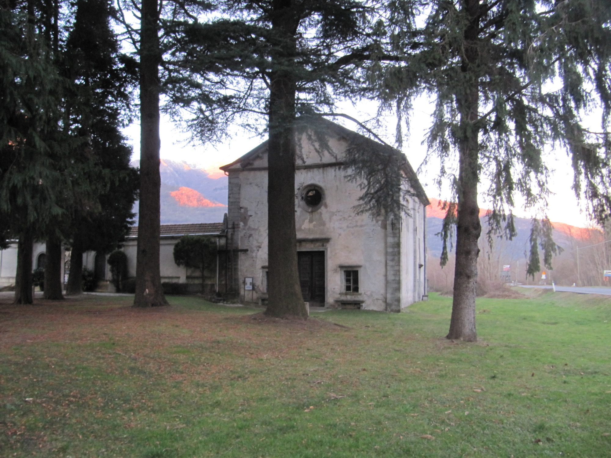
The itinerary takes hikers to the Sant’Andrea Church, and then forks into two routes: the first heads uphill and includes a trail with scenic sections, eventually leading to Mergozzo; the second route, along a railway underpass, leads to the Toce side and crosses the country road towards Mergozzo (just before the village, the route returns to the paved road near the San Rocco Oratory).
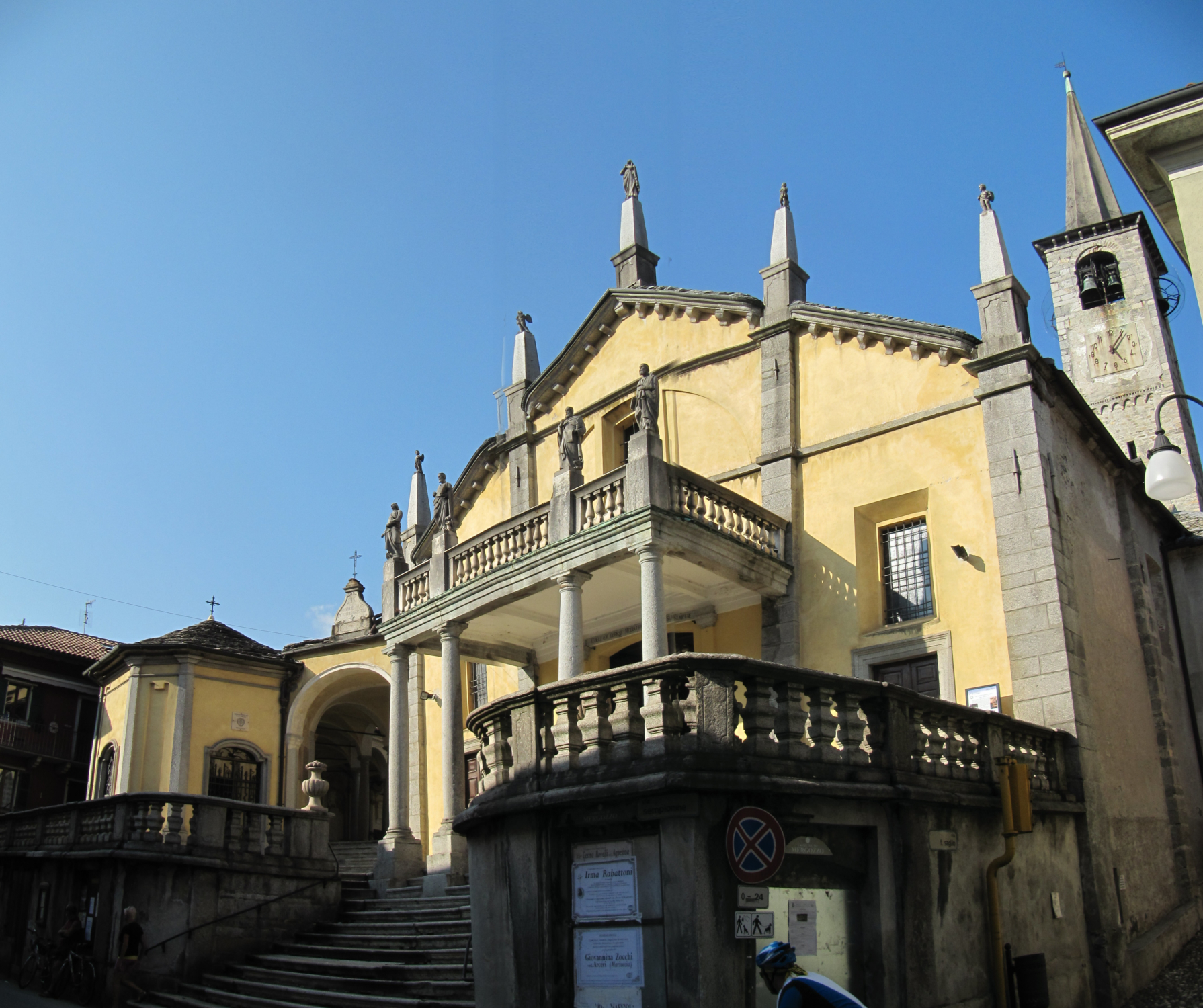
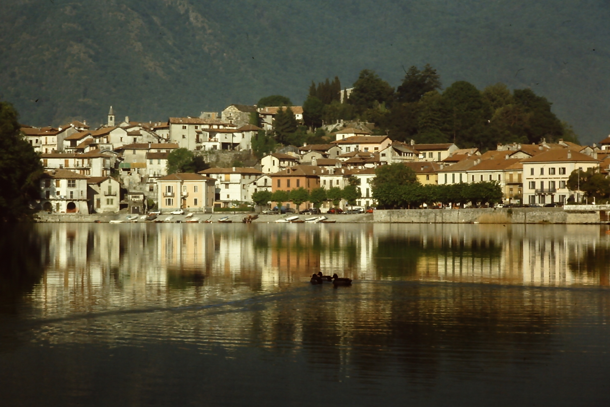
Mergozzo, one of the Touring Club Italiano Orange Flag villages, is a stunning town dating back to ancient times that overlooks its namesake lake and marks the gateway to the Ossola Valley. The Strada Romana carries on to Suna, passing through Bieno and Cavandone (all villages of the municipality of Verbania), but this second leg of the ancient road ends in Mergozzo.

DISCOVER THE OTHER STAGE OF THE VIA ROMANA
Stage 1 – From Crevoladossola to Vogogna

Useful info

Italian Alpine Club (CAI) site identification code

Sector A “Historic Routes” A00

Places visited

The charming old town centre of Vogogna, Premosello, Cuzzago, Nibbio, Bettola, Albo, Candoglia and the village of Mergozzo

Points of interest along the route

  • The Touring Club Italiano Orange Flag Village of Vogogna
  • Courtyards in Premosello Chiovenda
  • The church and bell tower (old signal tower) in Premosello Chiovenda
  • The Madonna dello Scopello Oratory, with century-old yew tree
  • The Village of Cuzzago
  • The Cadorna Defence Line (starting point of the defence system from 1915)
  • The San Pietro Oratory
  • The villages of Bettola and Albo
  • The Concezione Oratory
  • The entrance to the famous Candoglia Marble Quarry – La Fabbrica del Duomo
  • The Sant’Andrea Oratory
  • The San Rocco Oratory
  • Mergozzo Parish Church
  • The Archaeological Museum of Mergozzo
  • The Touring Club Italiano Orange Flag Village of Mergozzo
  • Mergozzo Lake

Accommodations

Rest in Mergozzo and stay in one of its hotels, B&Bs and other accommodation facilities. It is easy to get back to Domodossola from Mergozzo on one of the buses or trains on the Milan-Domodossola railway line.

Useful info

Domodossola FS International Railway Station (from Berna to Milan) – From the Bus Terminal, take the bus for Vogogna.
Club Alpino Italiano reference: Villadossola and Gravellona divisions
Places to eat: in towns on the itinerary (Premosello, Cuzzago, Candoglia), as well as Vogogna and Mergozzo.

Difficulty

Easy trail. Most of the hike takes place on side roads, mule tracks and paths.

Lenght

18,5 km

Ascent/descent

Ascent 153 m / Descent 178 m

Time to complete the route

4 hrs 35 min

Recommended equipment

Walking boots

Signage

A00

Reference map(s)

Map No 14 scale 1:25.000 from Geo4Map/Club Alpino Italiano
Digital map app: ViewRanger – Avenza Maps

Historic, artistic and cultural value
Value of traditional and peasant life
Ideal for
Everybody
You will discover
Nature
Sport
Guide to itineraries and useful info
Ideal for
Everybody
You will discover
Nature
Sport
Guide to itineraries and useful info
Choose your
mountain guide
IAT di Mergozzo
Corso Roma, 20 28802 Mergozzo (VB) See map
Choose your
tour or nature guide

You might also be interested in...