Description
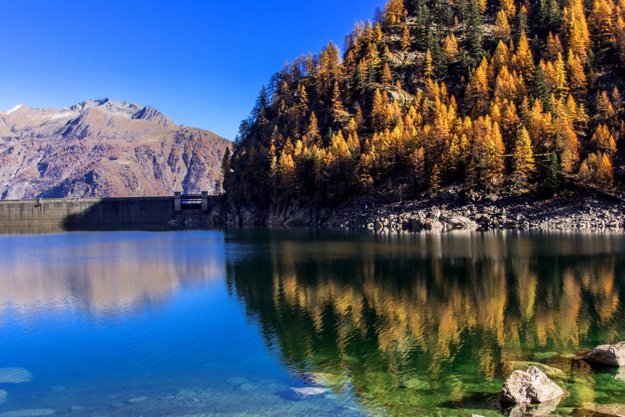
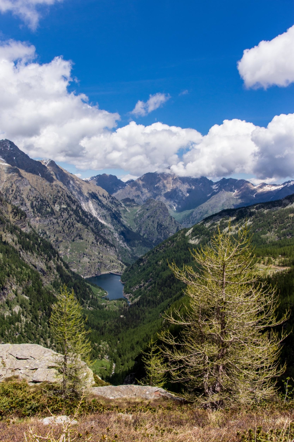
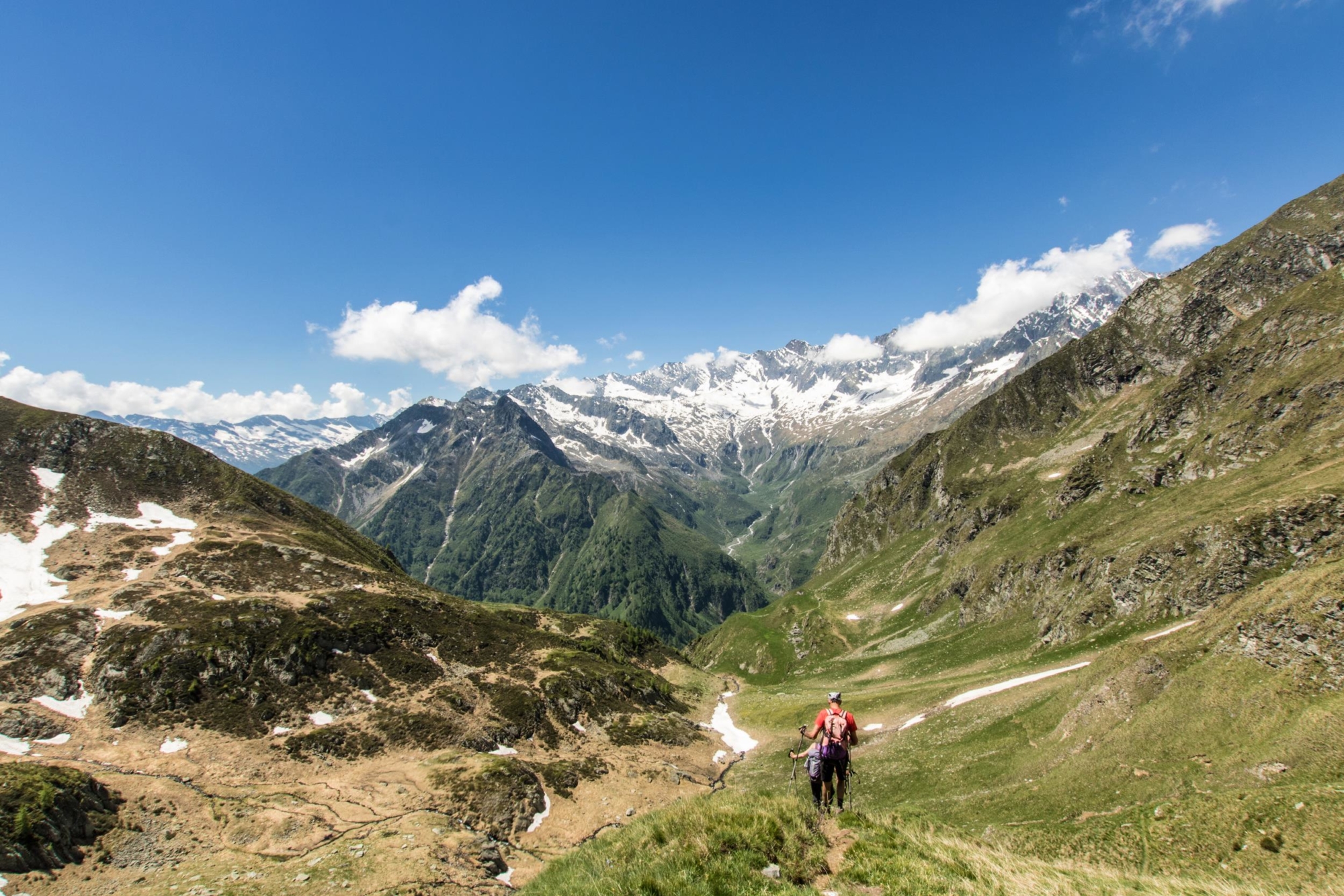
Numerous dams, built from the early 20th century onwards, are today perfectly integrated with the landscape of the upper Antrona Valley. The dams are the undisputed protagonists of some of the most fascinating hiking trails.
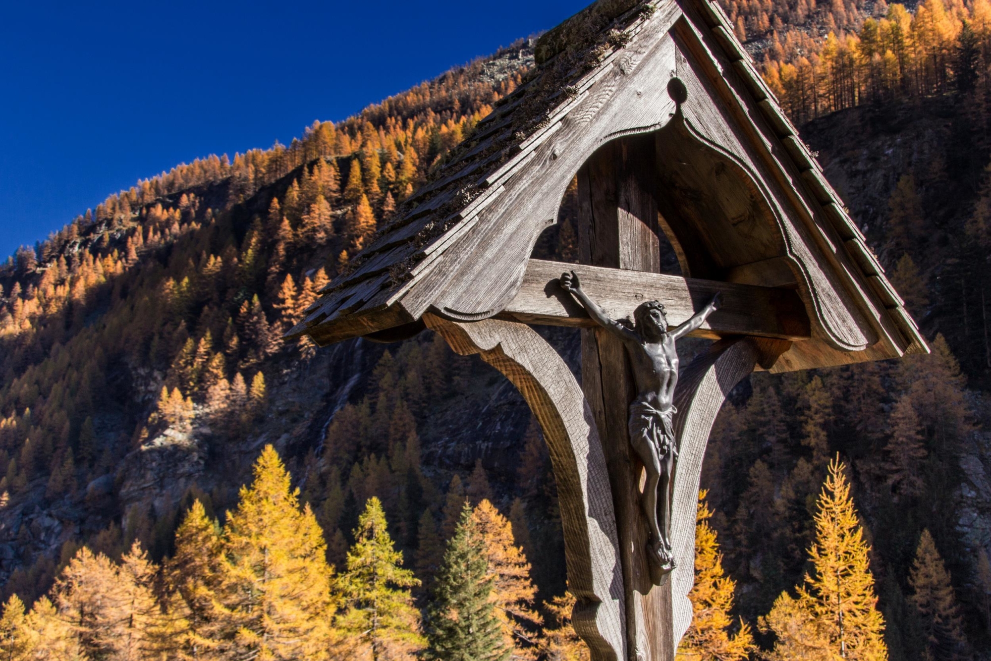
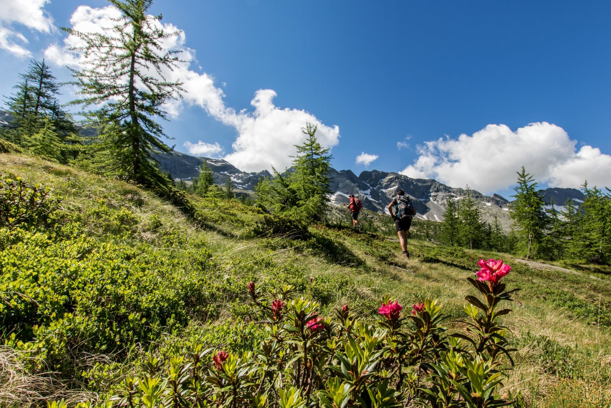
In some stretches of the route you can admire the old commercial mule track used for trading by someggiatori (people who led mule caravans through mountain passes) from the neighbouring Valle di Saas.
DISCOVER THE OTHER STAGES OF THE STRADA ANTRONESCA:
Stage 1 – From Villadossola to Antrona
Stage 3 – From Cingino Camping Barn to Saas Almagell
Useful info
Italian Alpine Club (CAI) site identification code
Sector C “Historic Routes” C00_2
Places visited
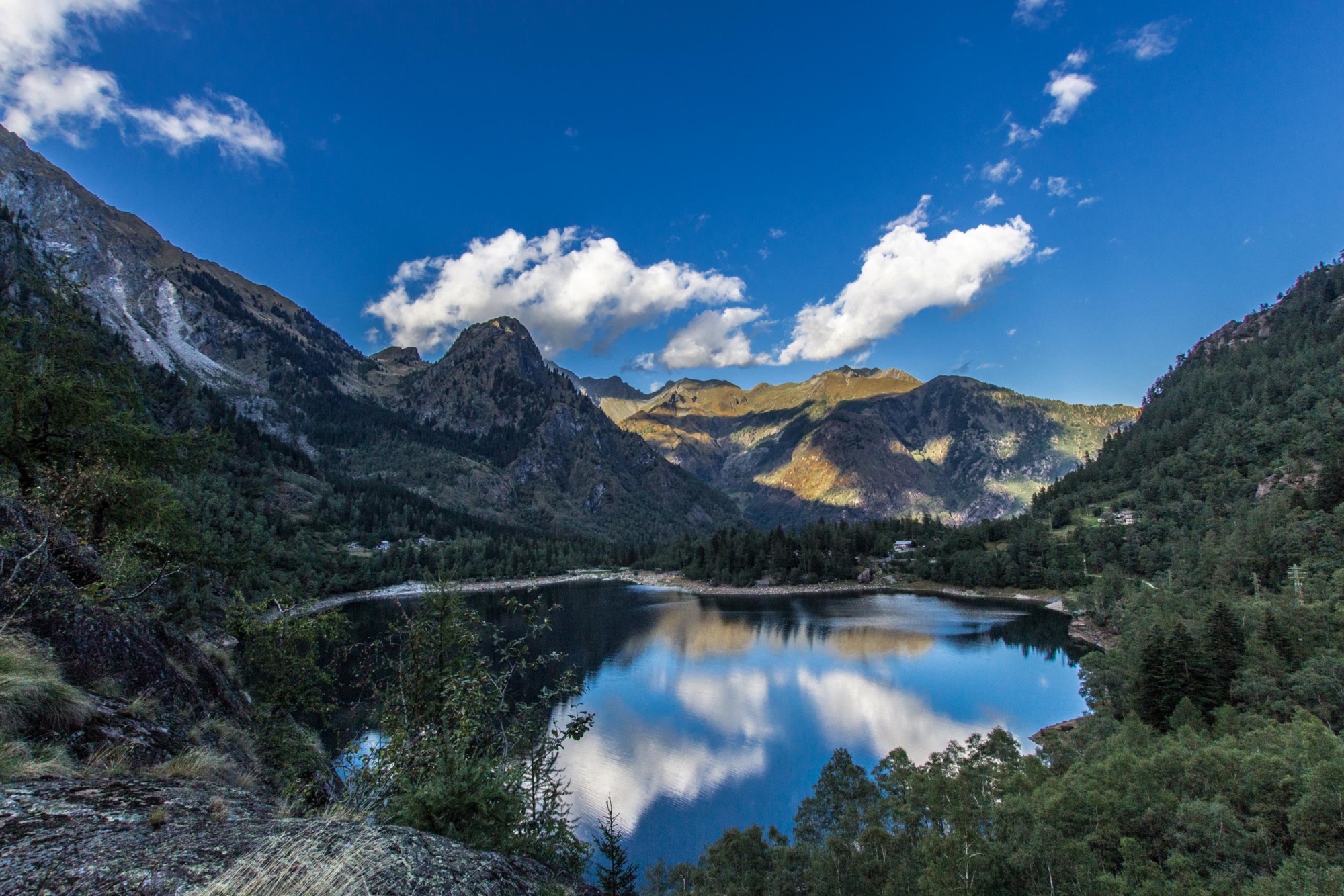
Antrona, Cimallegra, Lago di Antrona, Alpe Piana, Lago Campliccioli, Alpe Vassoncino, Alpe Granarioli, Alpe Casalavera, Alpe Lombraoro Sotto, Alpe Sasso, Alpe Saler, Alpe Cingino, Bivacco Cingino
Points of interest along the route
- The 1642 landslide from Monte Pozzoli
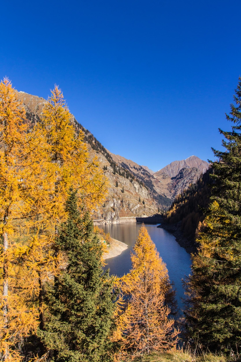
- The evocative Lago di Antrona
- The dams and hydroelectric plants
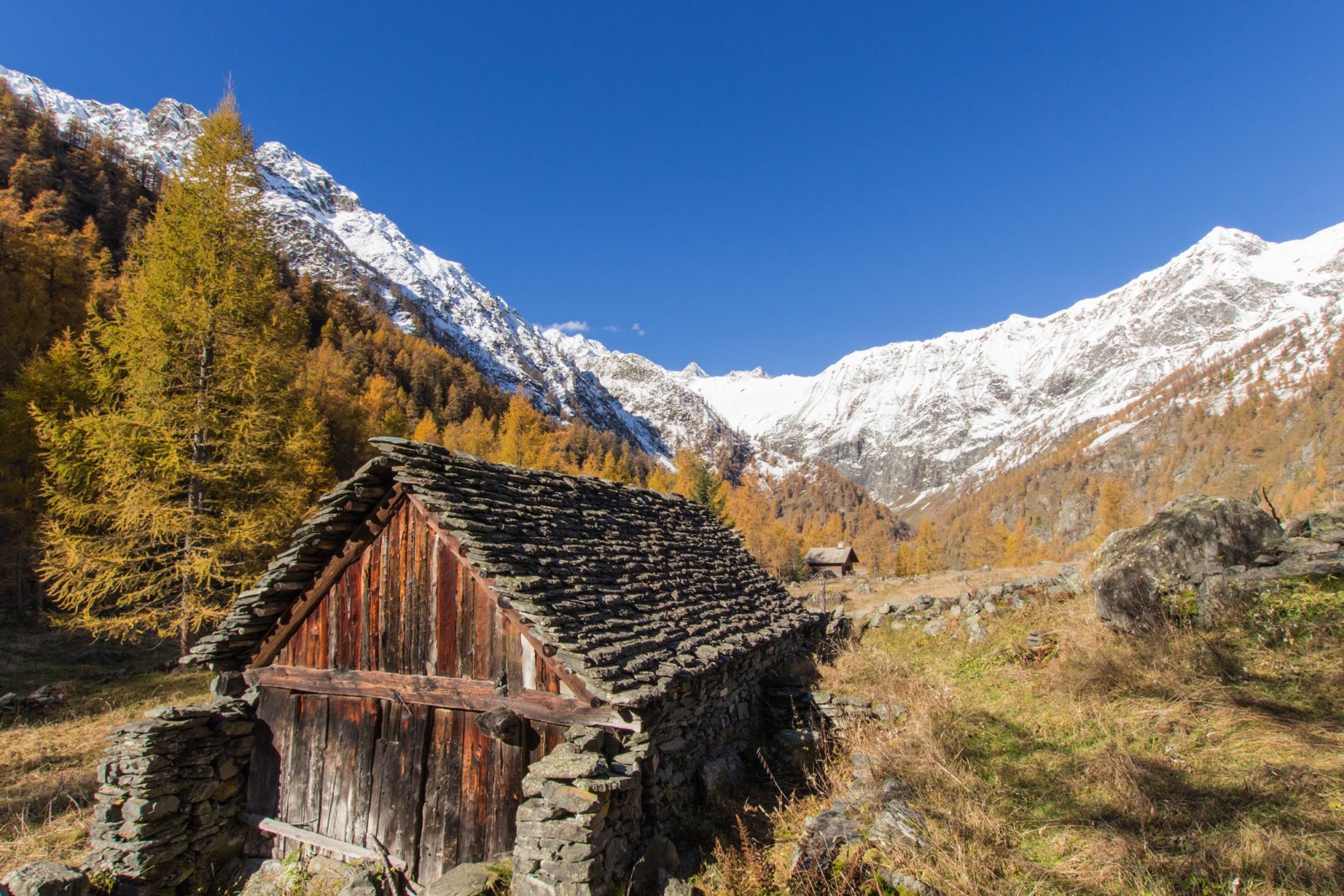
- Small alpine pastures
- Vegetation with larch and mountain pine
- Lombraoro waterfall
- Stretches of ancient mule track
- The rare Erebia butterfly
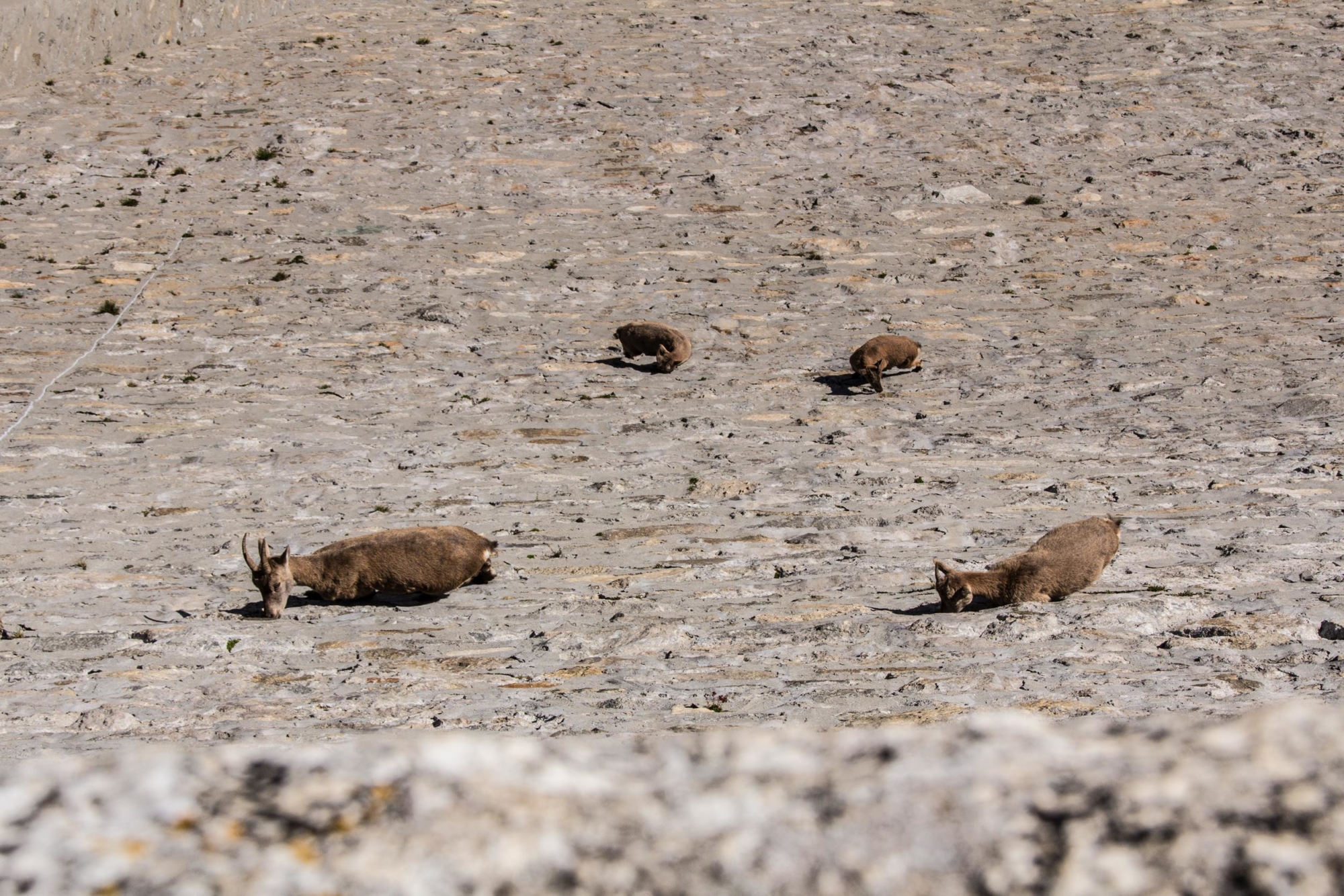
- Acrobatic ibex from the Cingino dam
Accommodations
Accommodation: Cingino camping barn (brick camping barn that is always open with 12 beds on wooden boards)
Useful info
Domodossola FS International Railway Station (from Bern and Milan).
From the BUS terminal, take the Antrona bus route
Contact details: Municipality of Antrona
CAI contact details: Villadossola Section
Refreshment areas: Hotel/Bar Lago Pineta
Difficulty
Challenging route. The majority of the route is along mule tracks.
Lenght
Ascent/descent
Ascent 1398 m / Descent 49 m
Time to complete the route
Recommended equipment
Walking boots, poles, high mountain equipment and a lightweight sleeping bag (the nights at the camping barn are rather cold)
Signage
Best time of year
From late June to late September
Reference map(s)
Map no. 7 scale 1:25,000 of the Geo4Map/CAI
Digital maps on the following apps: ViewRanger – Avenza Maps