Description
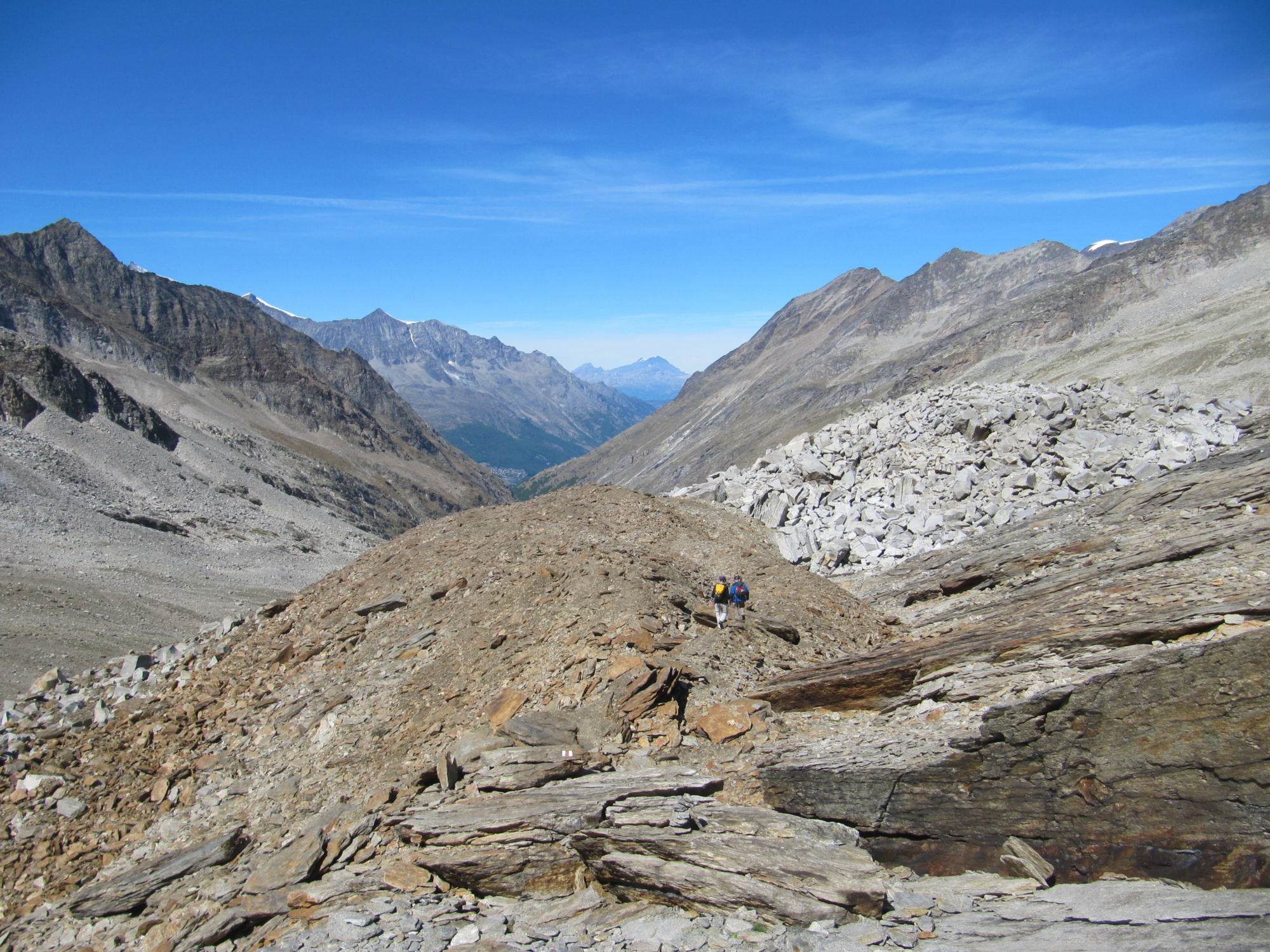
There are three ways to reach Saas-Almagell: from the pass, beyond the normal road, a scenic path has been created that reaches a chair lift that leads to the village; under the moraine the path is divided into two, the main one continues straight while the other, after crossing the stream over the bridge, descends into the territory of Saas-Almagell up to Zermeiggern, where there was an ancient Walser settlement.
DISCOVER THE OTHER STAGES OF THE STRADA ANTRONESCA:
Stage 1 – From Villadossola to Antrona
Stage 2 – From Antrona to Cingino Camping Barn
Useful info
Italian Alpine Club (CAI) site identification code
Sector C “Historic Routes” C00
Places visited
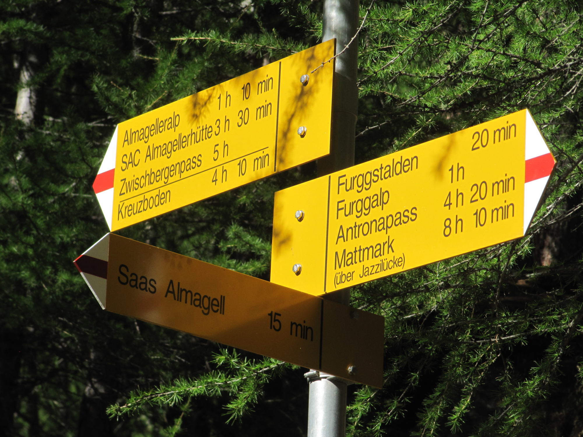
Bivacco Cingino, Alpe Corone, Passo di Saas, Alpe Furggalp, Furggstalden, Saas Almagell
Points of interest along the route
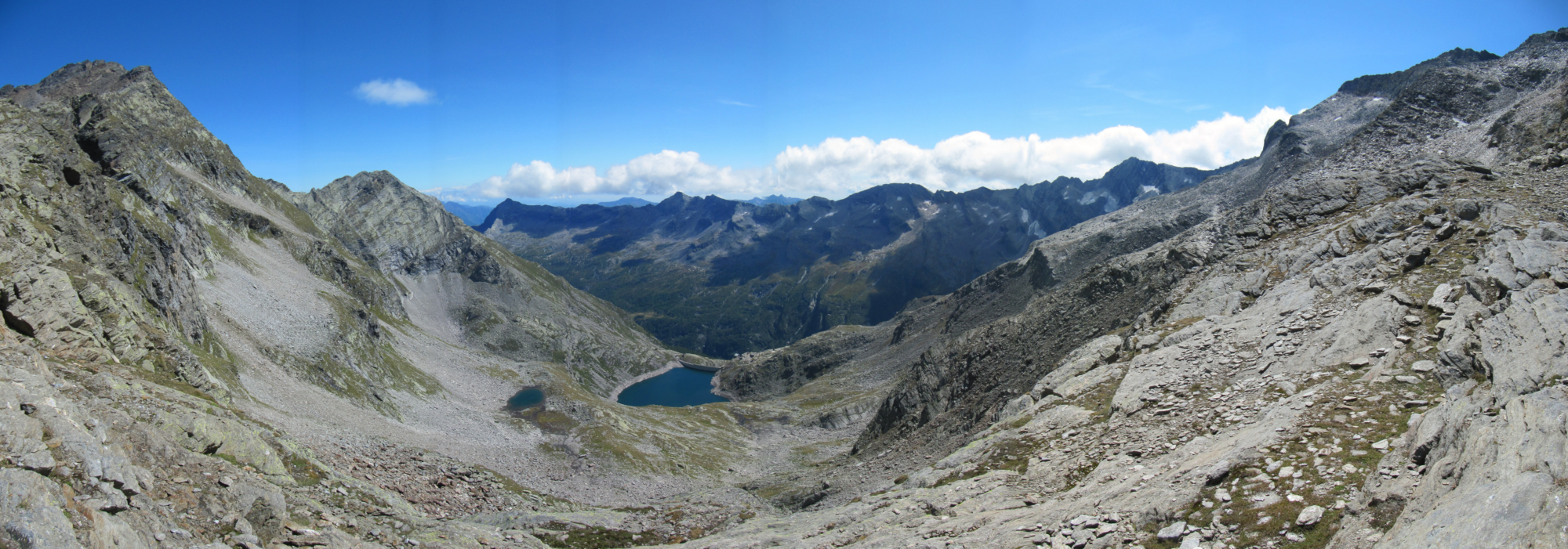
- Alpe Corone, the highest alpine pasture in Ossola
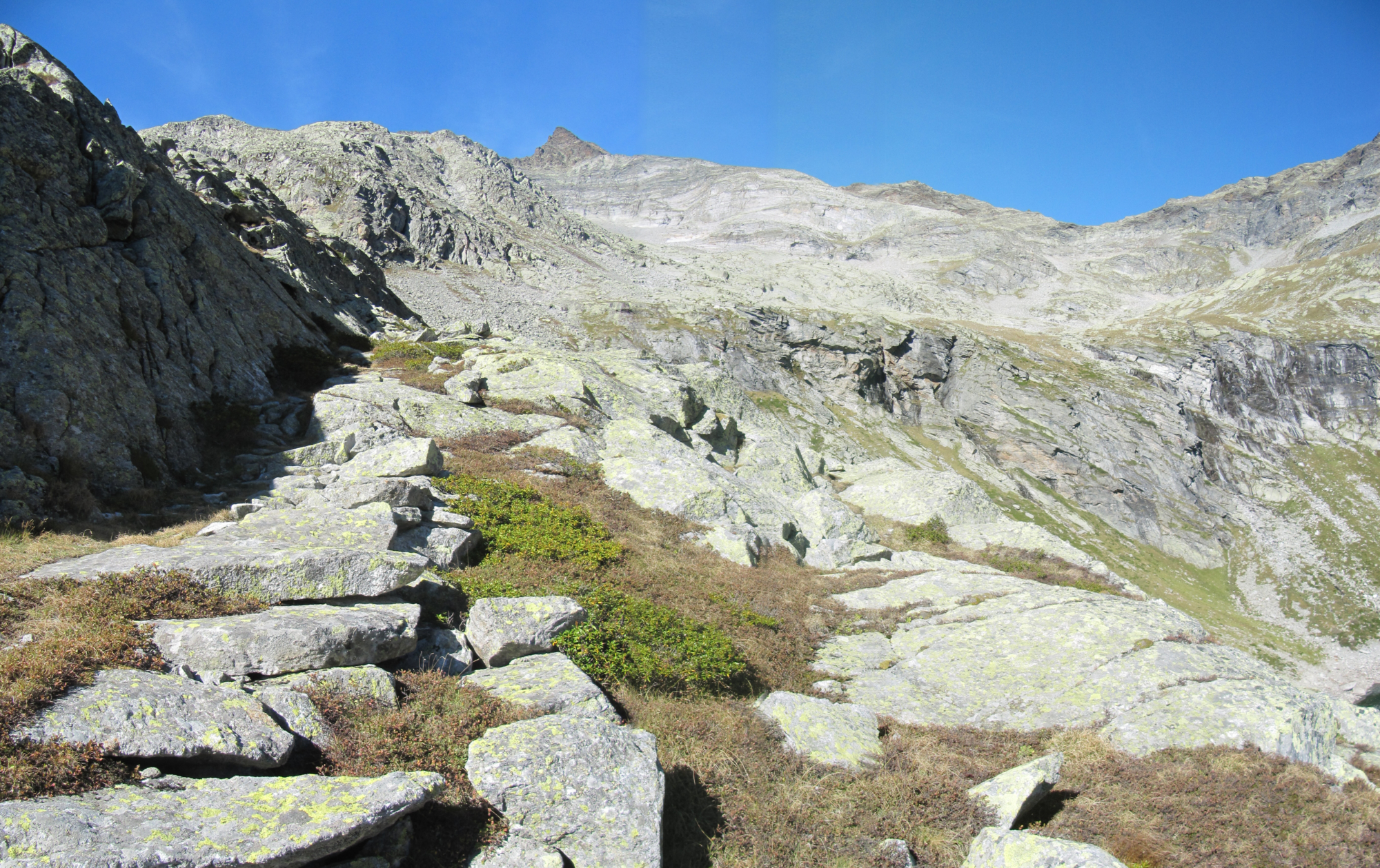
- Remains of an ancient mule track on the Antrona side
- Remains of a deposit at the Saas Pass
- Remains of an ancient mule track on the Saas side
- Remains of resting places
- Great views over the 4,000 m (13,000 ft) high peaks of the Valle di Saas
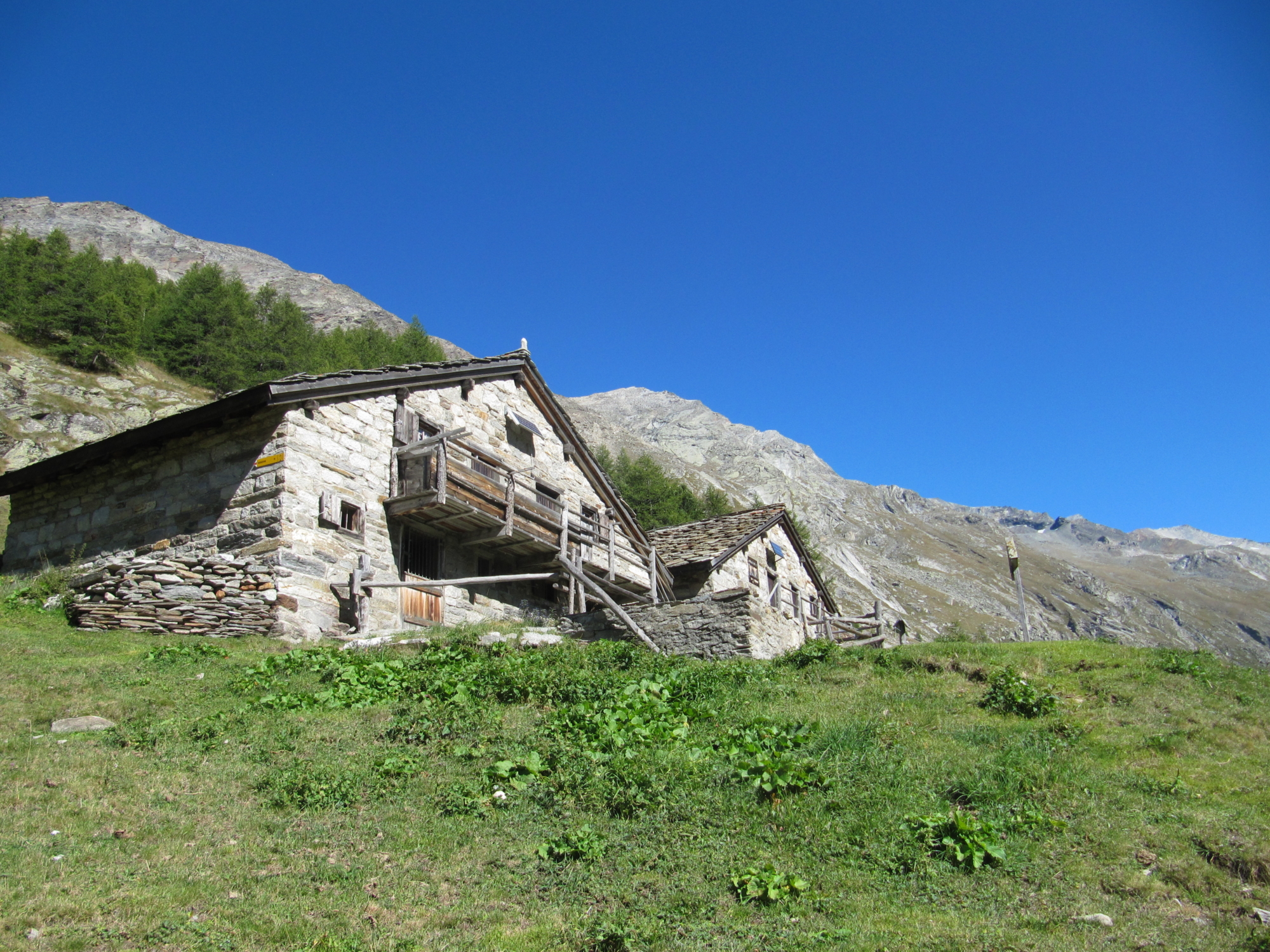
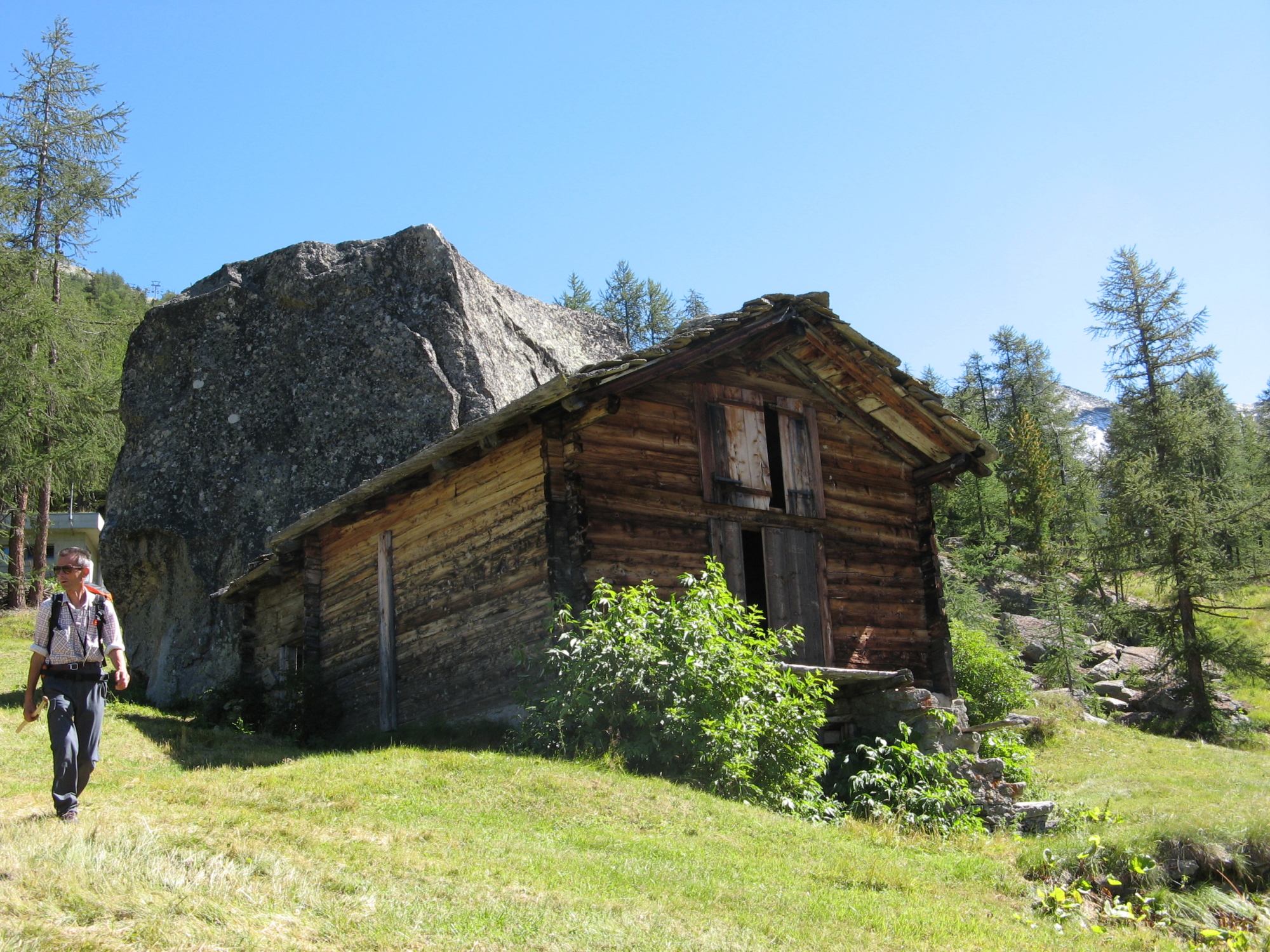
- Small Walser villages (Furggu, Furggstalden)
- The Walser village of Saas-Almagell
Accommodations
Accommodation: you can stay in one of several hotels in Saas-Almagell, for info tel. +41 (0) 279581888 info@saas-almagel.ch or you can get back to Domodossola via a bus and a train from Briga (info: www.postauto.ch).
Useful info
Transport: From Saas-Almagell, take the bus to Stalden then the small red train to Briga and from there to Domodossola
Contact details: Municipalities of Antrona and Saas-Almagell
CAI contact details: Villadossola Section
Refreshment areas: in Furggstalden “Ristoro Rustico” – “Alpina”
Difficulty
Medium difficulty. Although the route is not particularly difficult, it is in a high mountain environment and weather conditions may change suddenly. You should have appropriate equipment.
Lenght
Ascent/descent
Ascent 820 m / Descent 1173 m
Time to complete the route
Recommended equipment
Walking boots, poles, windbreaker, gloves
Signage
C00 (in Italy) – White/red signage in Switzerland
Best time of year
Reference map(s)
Map no. 7 scale 1:25,000 of the Geo4Map/CAI – Swiss map no. 1329
Map no. 3 scale 1:50,000 CAI/EditoriVCO
Digital maps on the following apps: ViewRanger – Avenza Maps