Description
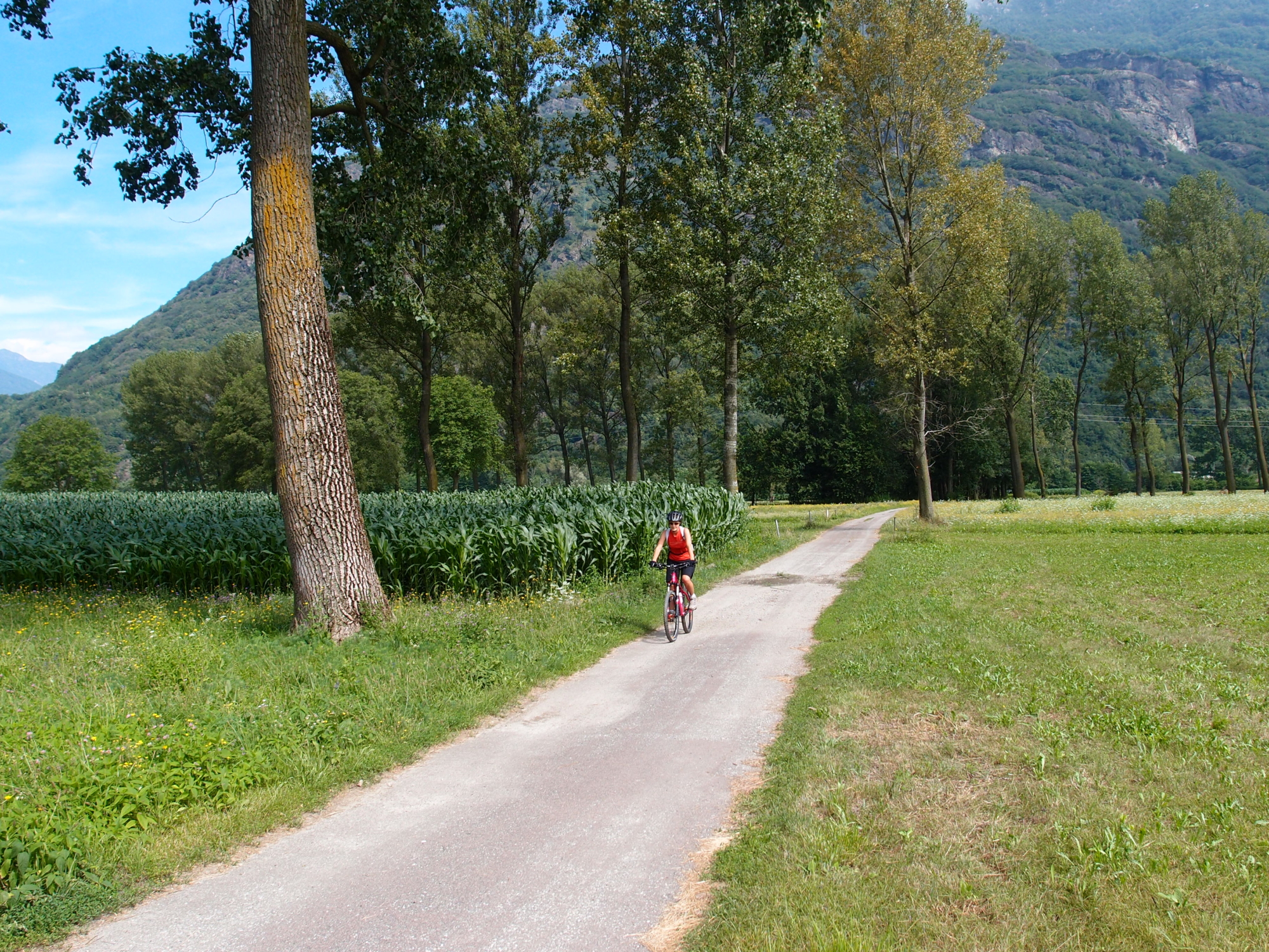
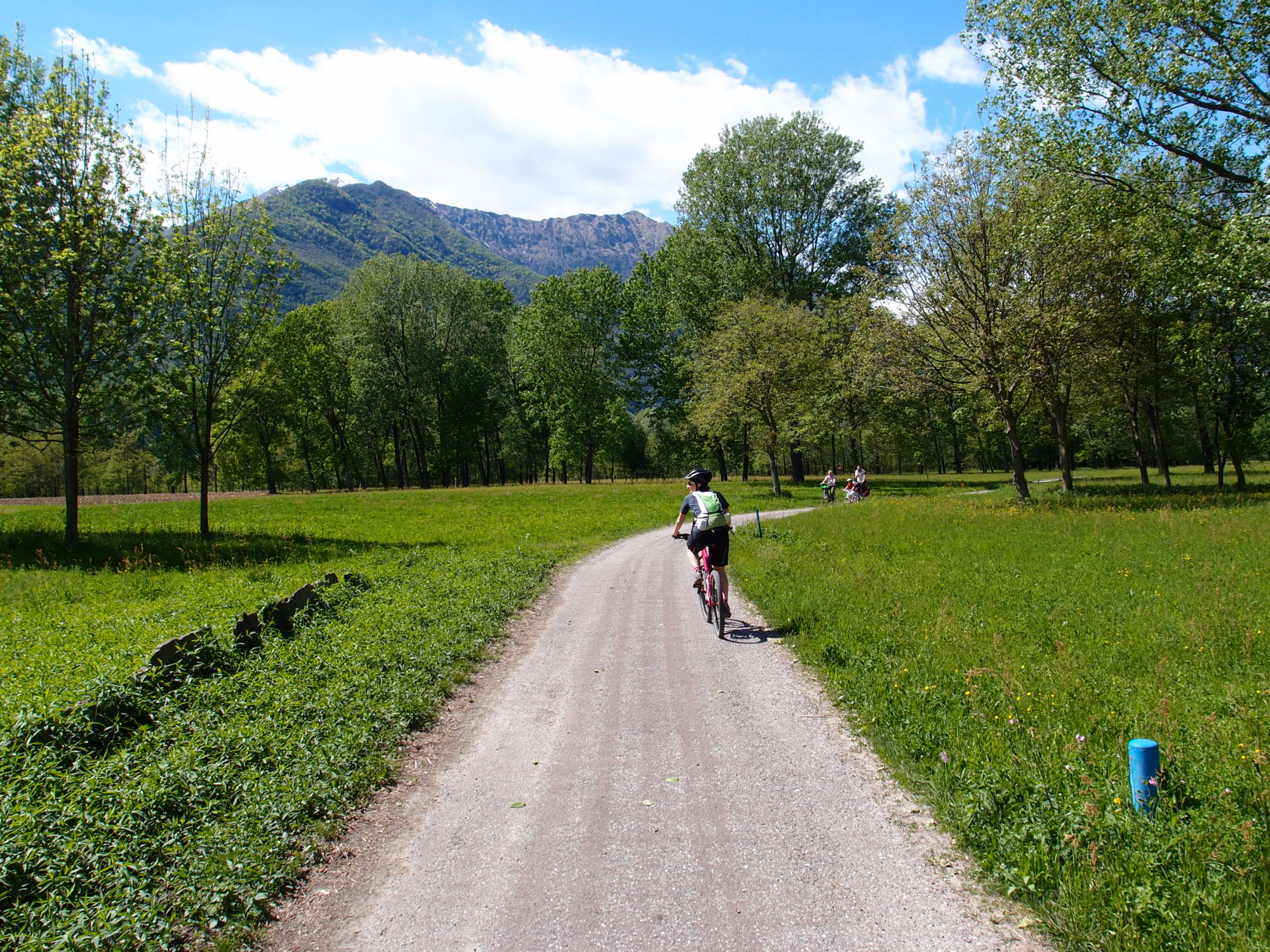
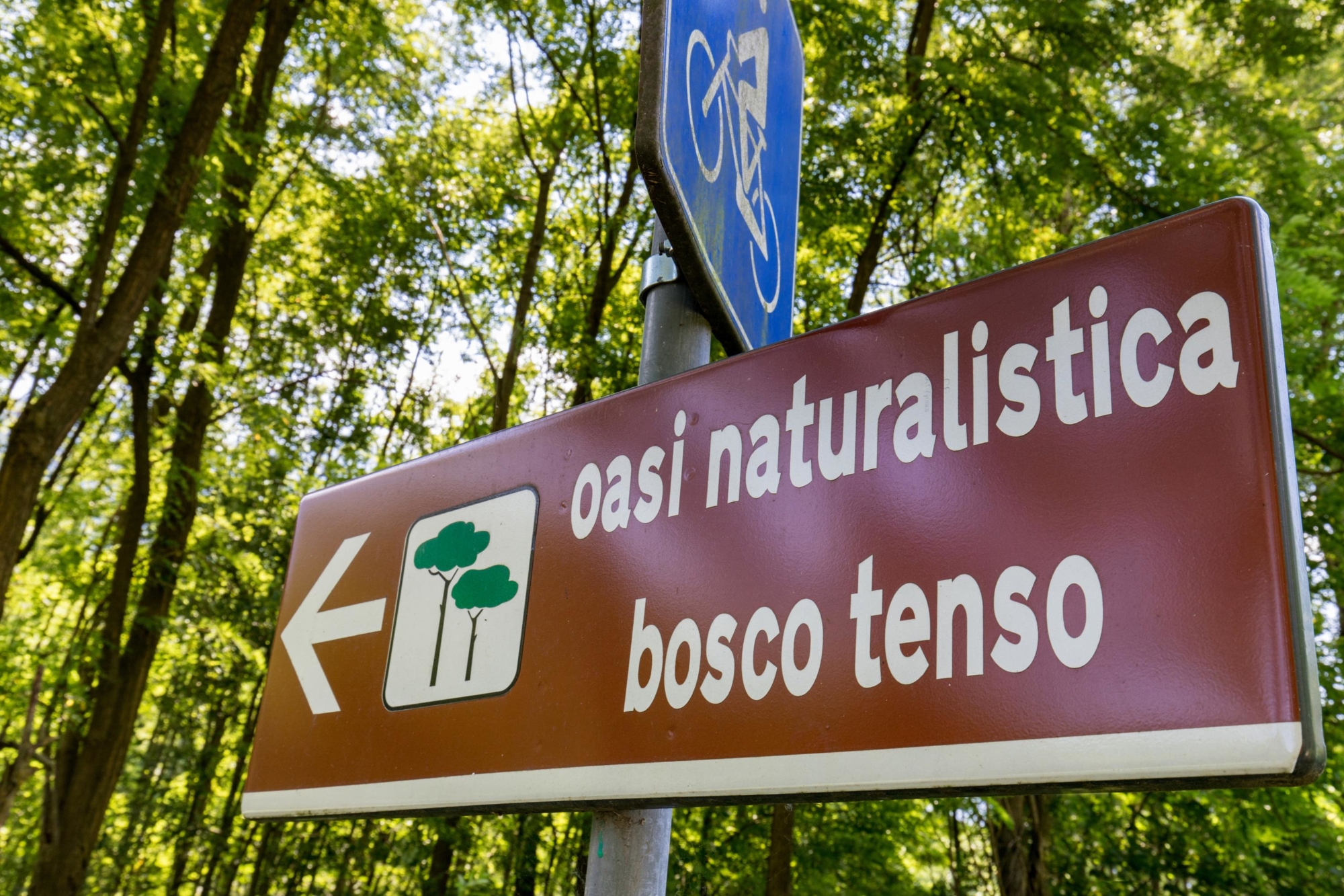
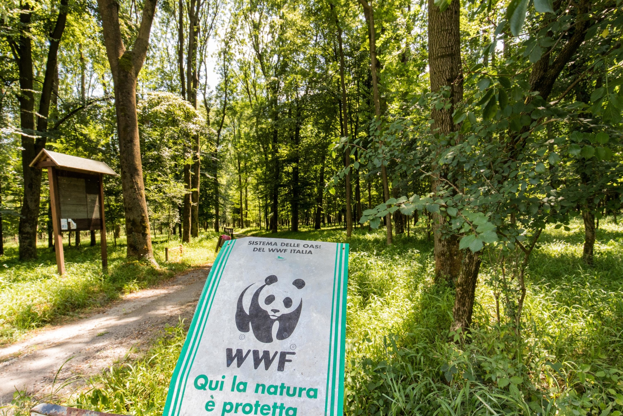
From the historic centre of Vogogna, skirt the Palazzo Pretorio and descend along Via Lossetti Mandelli until you cross Via Nazionale. Follow Via Nazionale for a short stretch along the cycle lane as far as a crossing and then take Via Ponte di Megolo. Immediately after the railway underpass, turn left and follow a dirt road that then becomes a cycle path. The route then winds through flowering meadows, crops and majestic trees until you arrive at and go through the Bosco Tenso WWF Oasis. The cycle path ends just before the railway underpass.
There are two options from here:
- Pass under the railway and go towards the provincial road. Cycle along the road for about one kilometre (2/3 mile) towards Cuzzago and just after the bridge over a side stream, take the first underpass on the right and follow the dirt track as far as Cuzzago.
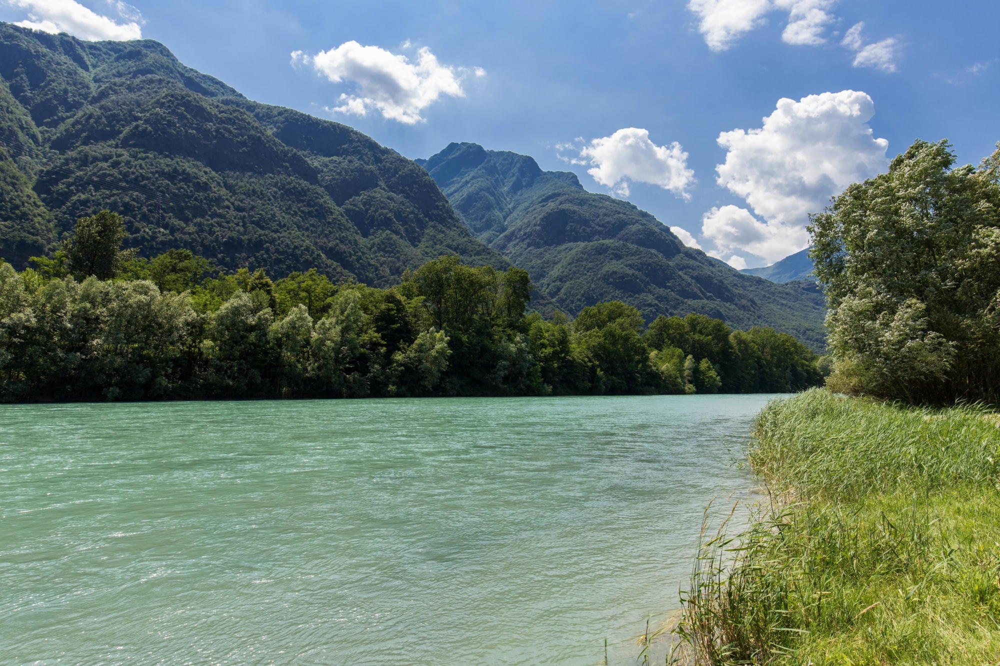
- Instead of using the underpass, turn right, cycling along the railway line and follow the unpaved, mixed cycle path for about a kilometre (2/3 mile), to the confluence of the Toce River and the Crotta River. Here the track stops briefly and then continues straight across the water. Cross the river, which is almost always dry, and climb up the other side to take the off-road cycle path that continues to Cuzzago through corn fields. Arriving at the underpass that leads to Cuzzago train station, follow signs until you come across the provincial road just before the Migiandone bridge over the Toce River. From here, be careful and follow the provincial road, which rarely has heavy traffic. Cross Migiandone bridge and along the road you will reach Punta di Migiandone, with its large square distinguished by two imposing cannons that mark the beginning of the Cadorna Line footpaths. From the square, take the dirt cycle path to Lago delle Rose. Alternatively, from Punta di Migiandone, turn left onto a stretch of cycle track that allows you to see the Fondovalle bunkers belonging to the Cadorna Line First World War military fortifications, reaching the straight road between Migiandone and Ornavasso. Along internal village roads or on the main road you’ll eventually reach the centre of Ornavasso.
Useful info
Starting point
Vogogna, 225 metres (740 ft) above sea level
Route
Vogogna, Bosco Tenso WWF Oasis, Cuzzago, Ponte di Migiandone, Migiandone, Punta di Migiandone, Lago delle Rose, Ornavasso
Ascent
Maximum height reached
225 metres (740 ft) above sea level (Vogogna)
Lenght
19.2 km (12 miles), 5.2 km (3 1/4 miles) of cycle paths, 7.8 km (4 3/4 miles) of dirt tracks, 2.1 km (1 1/2 miles) of secondary paved roads and 4.1 km (2 1/2 mile) of main paved roads.
Cyclability
Best time of the year
Area