Hiking – Via Stockalper: Graniga-Bognanco-Domodossola
Difficulty
Medium
Period
Spring / Summer

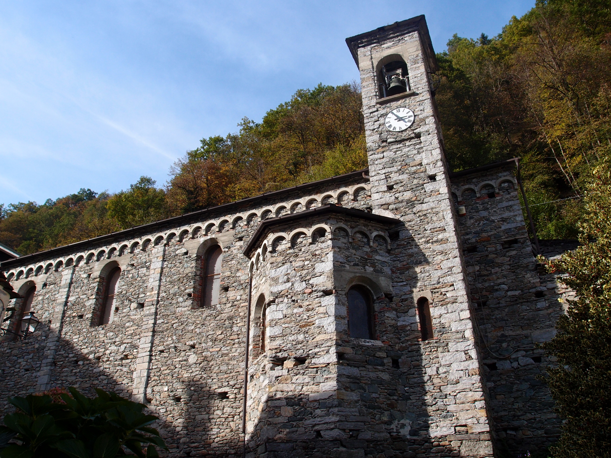
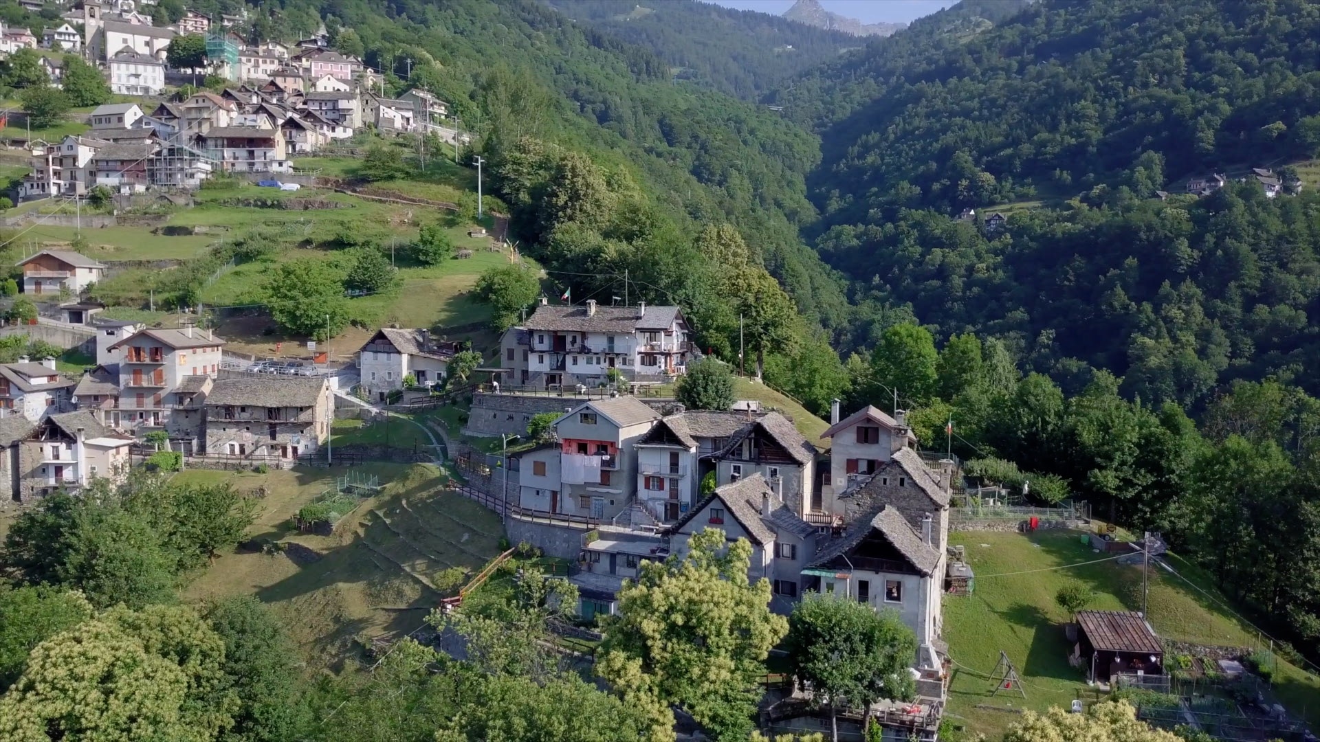
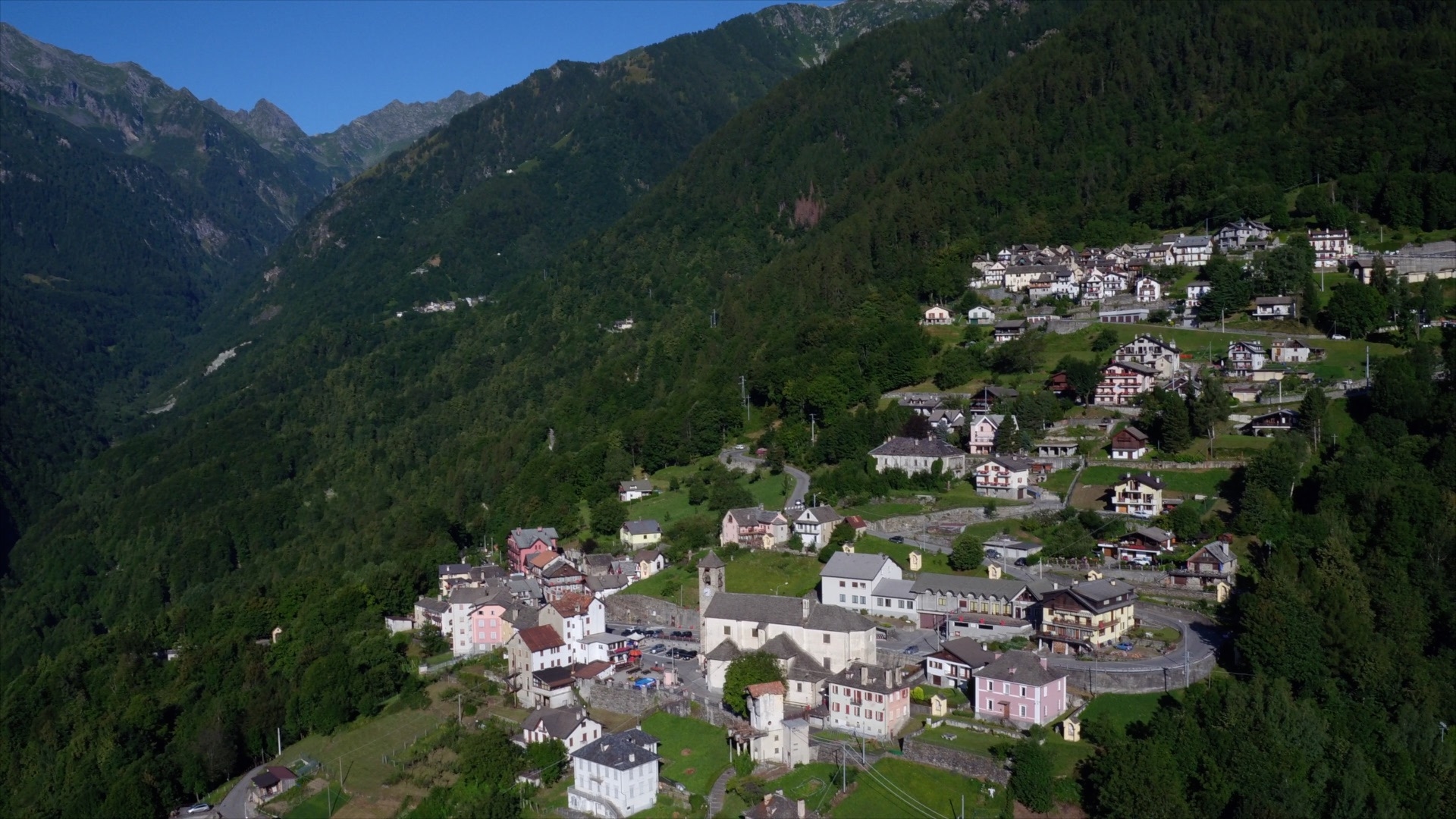
This is the fourth section of the Via Stockalper: the Bognanco Valley with its characteristic villages, spa, the Dagliano gorges, the characteristic village of Monteossolano and the terraces of Cisore. From Mocogna you finally enter the territory of Domodossola with its unmissable Borgo della Cultura and the Sacro Monte Calvario recognised by UNESCO as a World Heritage Site.

Description

DISCOVER THE OTHER STAGES OF THE VIA STOCKALPER:
Stage 1 – Briga-Passo del Sempione
Stage 2 – Passo del Sempione-Gondo
Stage 3 – Gondo-Passo Monscera-Graniga

Useful info

Italian Alpine Club (CAI) site identification code

Sector D “Historic Routes” D00

Places visited

Graniga, San Lorenzo, Camisanca, Possa, Possetto, Bognanco fonti, Monsignore, Dagliano, Monteossolano, Pregliasca, Cisore, Sant’Andrea, Mocogna, Maggianico, Croppo, Motto, Sacro Monte Calvario, Domodossola

Points of interest along the route

  • 16th-century Oratory of Graniga
  • 16th-century Parish Church of San Lorenzo, Bolla Transiturus stamp donated by Pope Gregory X during his passage from the Monscera Pass
    Fort
  • Pellanda House with sundial
  • Mineral waters of Bognanco
  • Arched bridge over the Dagliano with gorge
  • Oratory of Dagliano
  • Parish Church of San Gottardo in Monteossolano
  • The lever press in Monteossolano
  • Bridge over the Bogna in Mocogna
  • The hamlet of Vagna with chapels, churches and old houses
  • The Sacro Monte Calvario complex with the remains of Mattarella Castle
  • Borgo della Cultura in Domodossola

Accommodations

Useful info

Bus: Domodossola-San Lorenzo (Graniga) Line
Refreshment areas: Hotels/Restaurants in Bognanco
Accommodation: Hotels in Domodossola

Difficulty

Medium difficulty. The majority of the route is along mule tracks and wide footpaths.

Lenght

14,5 km

Ascent/descent

Ascent 480 m / Descent 1150 m

Time to complete the route

4 hrs 15 min

Recommended equipment

Hiking boots

Signage

D00 for the Italian part

Best time of year

From late May to September

Reference map(s)

Map no. 1 scale 1:50,000 (Valli Divedro, Sempione, Briga) CAI-Provincia VCO
Map no. 8 scale 1:25,000 (Valle Bognanco) by Geo4Map/CAI EMR
Digital maps on the following apps: ViewRanger – Avenza Maps

Historic, artistic and cultural value
Value of traditional and peasant life
Ideal for
Everybody
You will discover
Nature
Sport
Guide to itineraries and useful info
Ideal for
Everybody
You will discover
Nature
Sport
Guide to itineraries and useful info
Choose your
mountain guide
IAT di Domodossola
Piazza Matteotti (inside the railway station)
28845 Domodossola (VB)
See map
Choose your
tour or nature guide

You might also be interested in...