Hiking – Via del Mercato: from Masera to Re
Difficulty
Medium
Period
Spring / Summer / Autumn

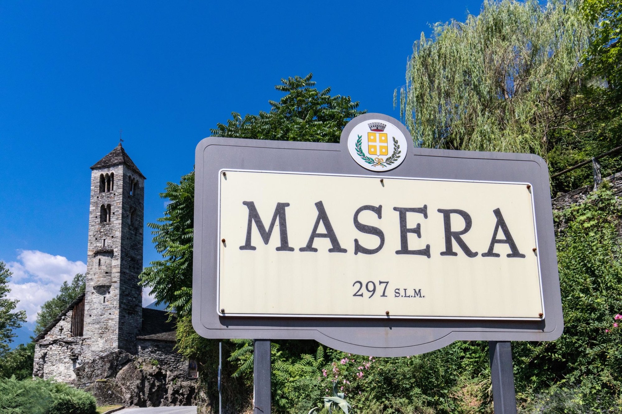
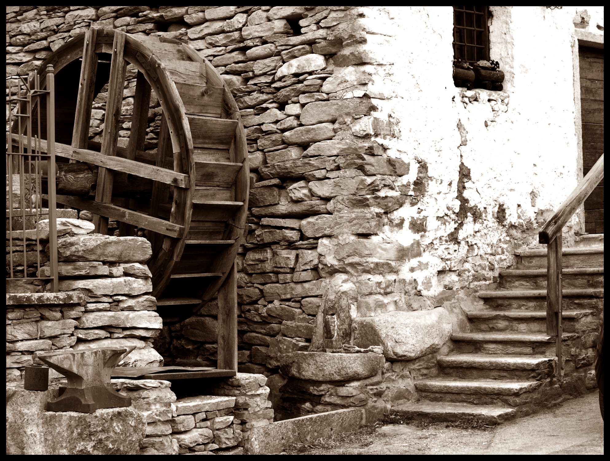
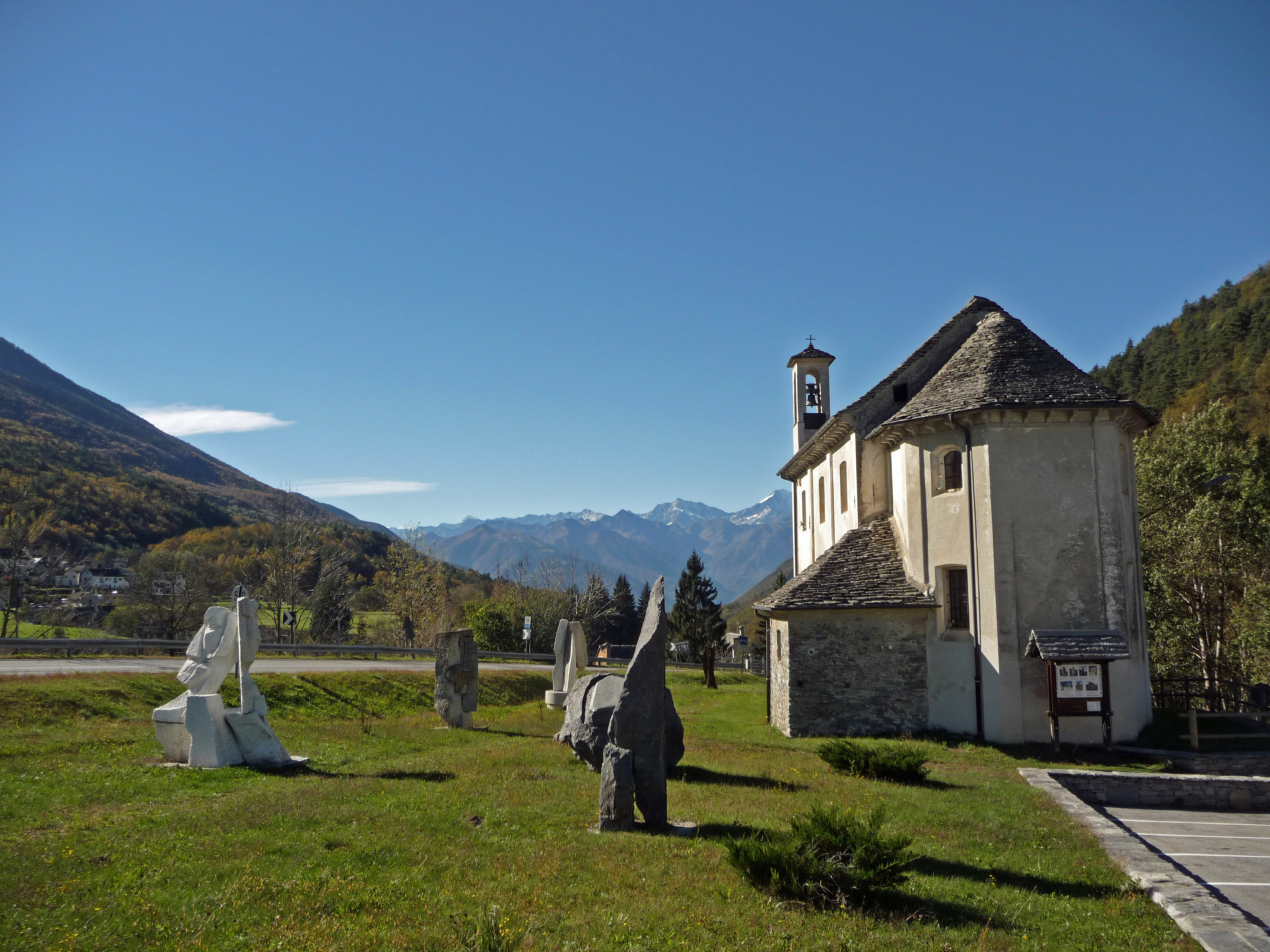
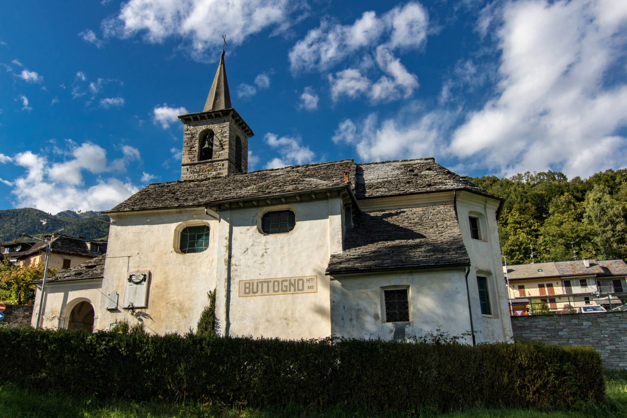
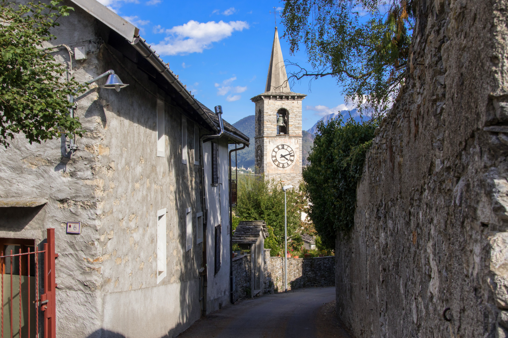
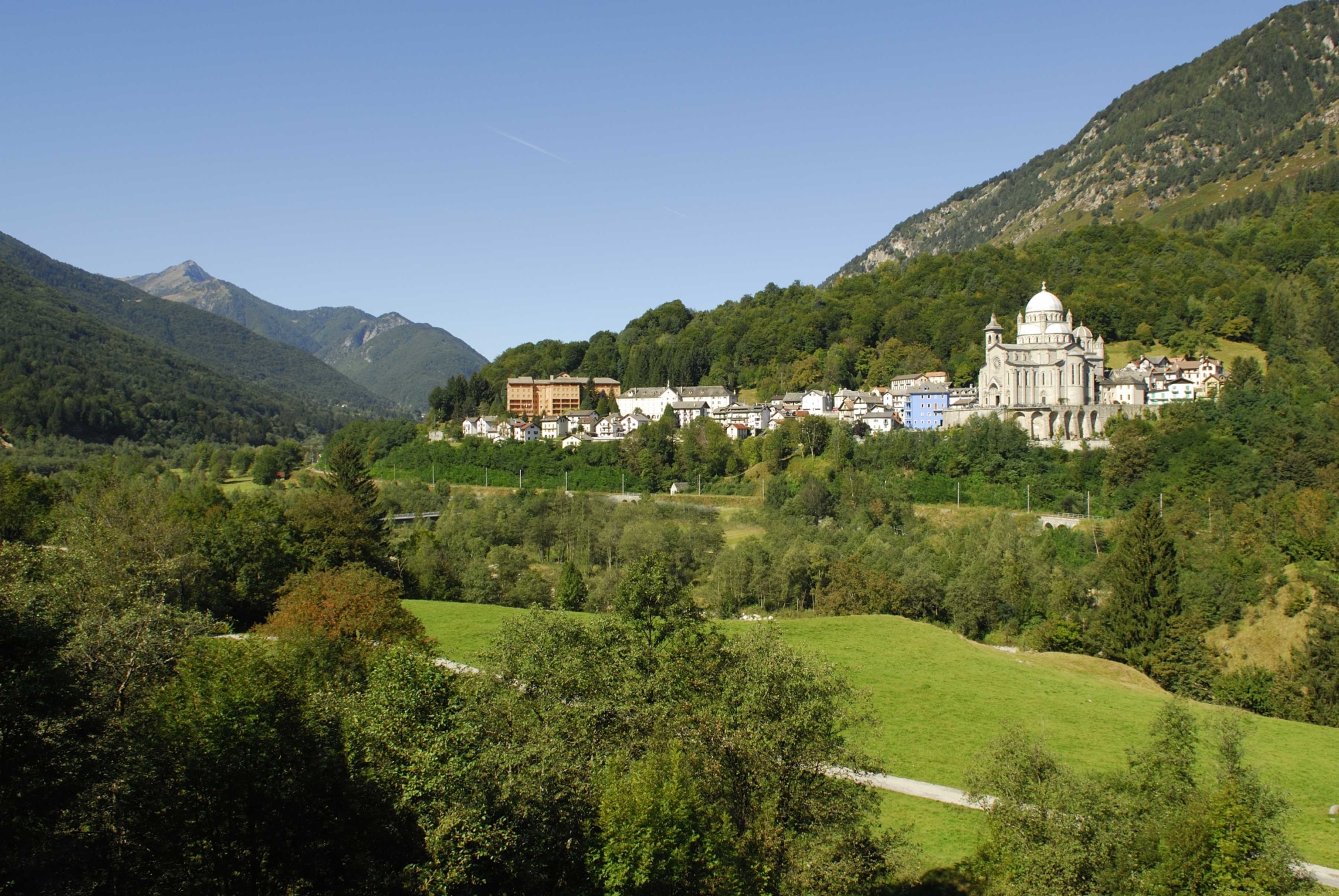
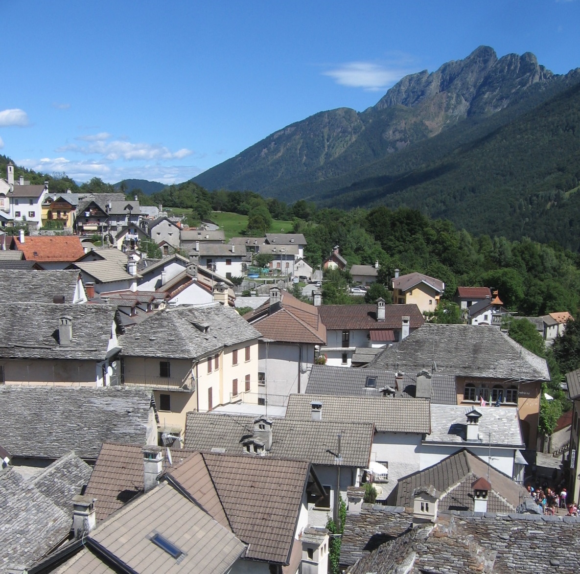
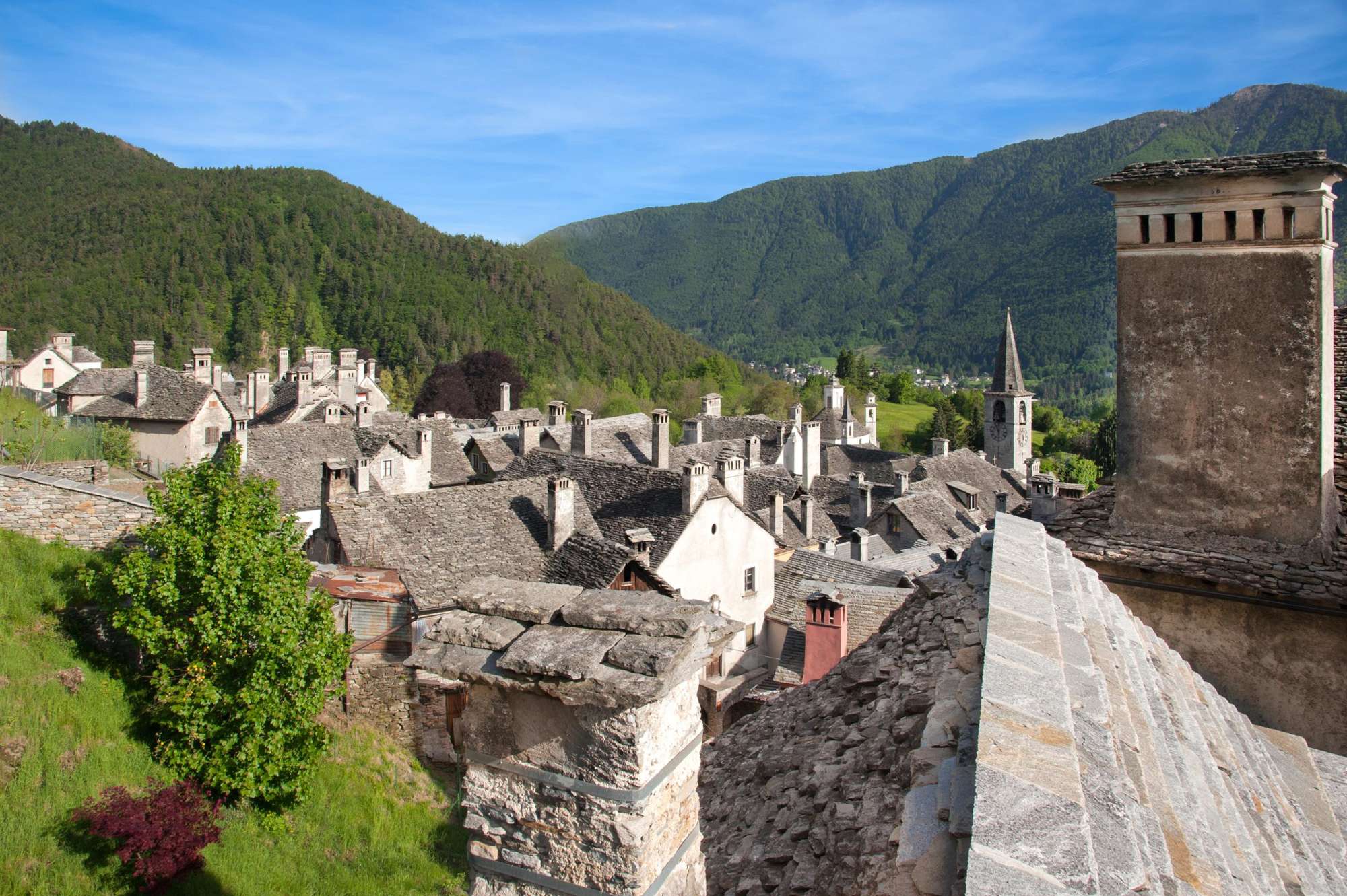
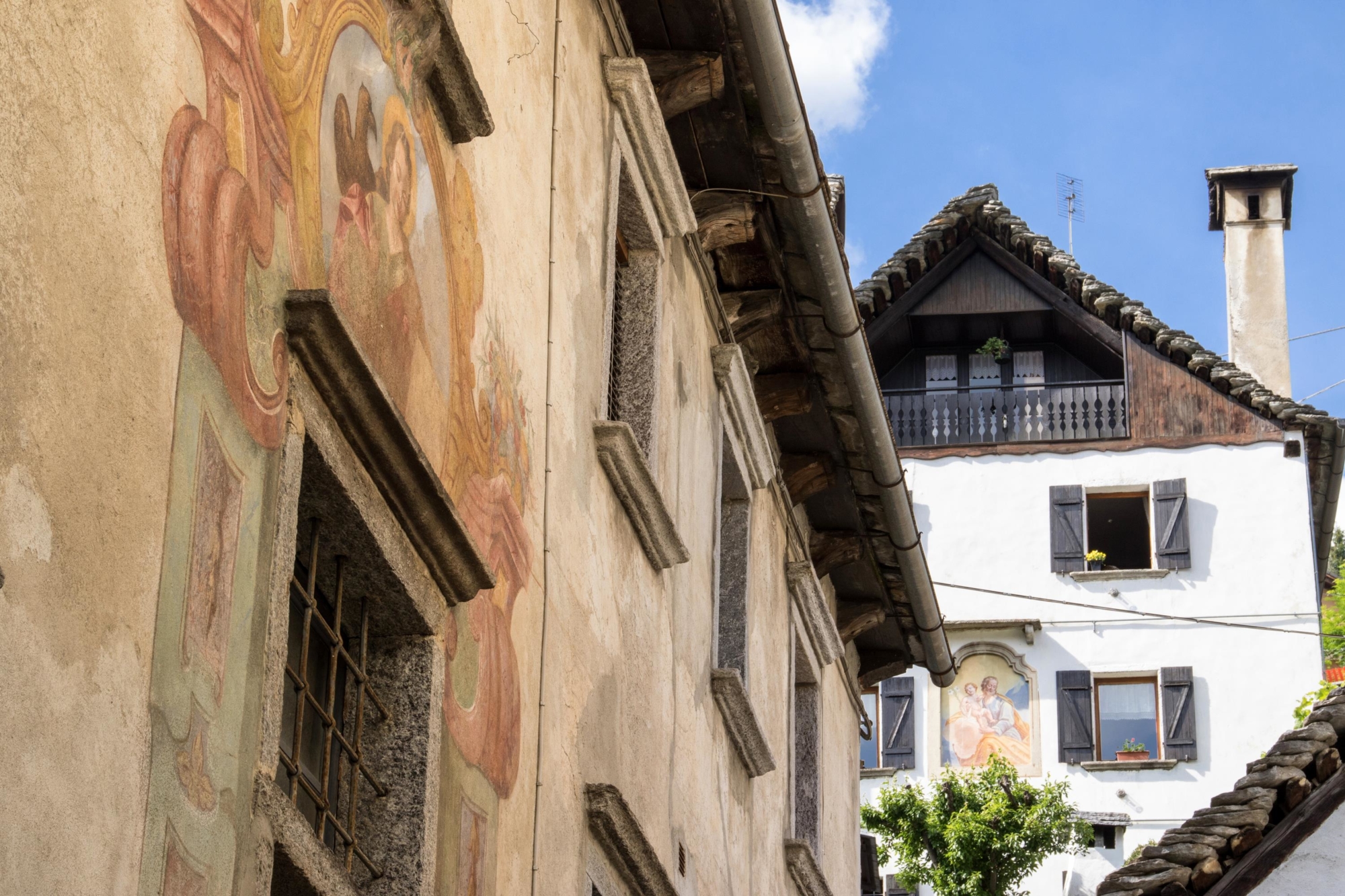
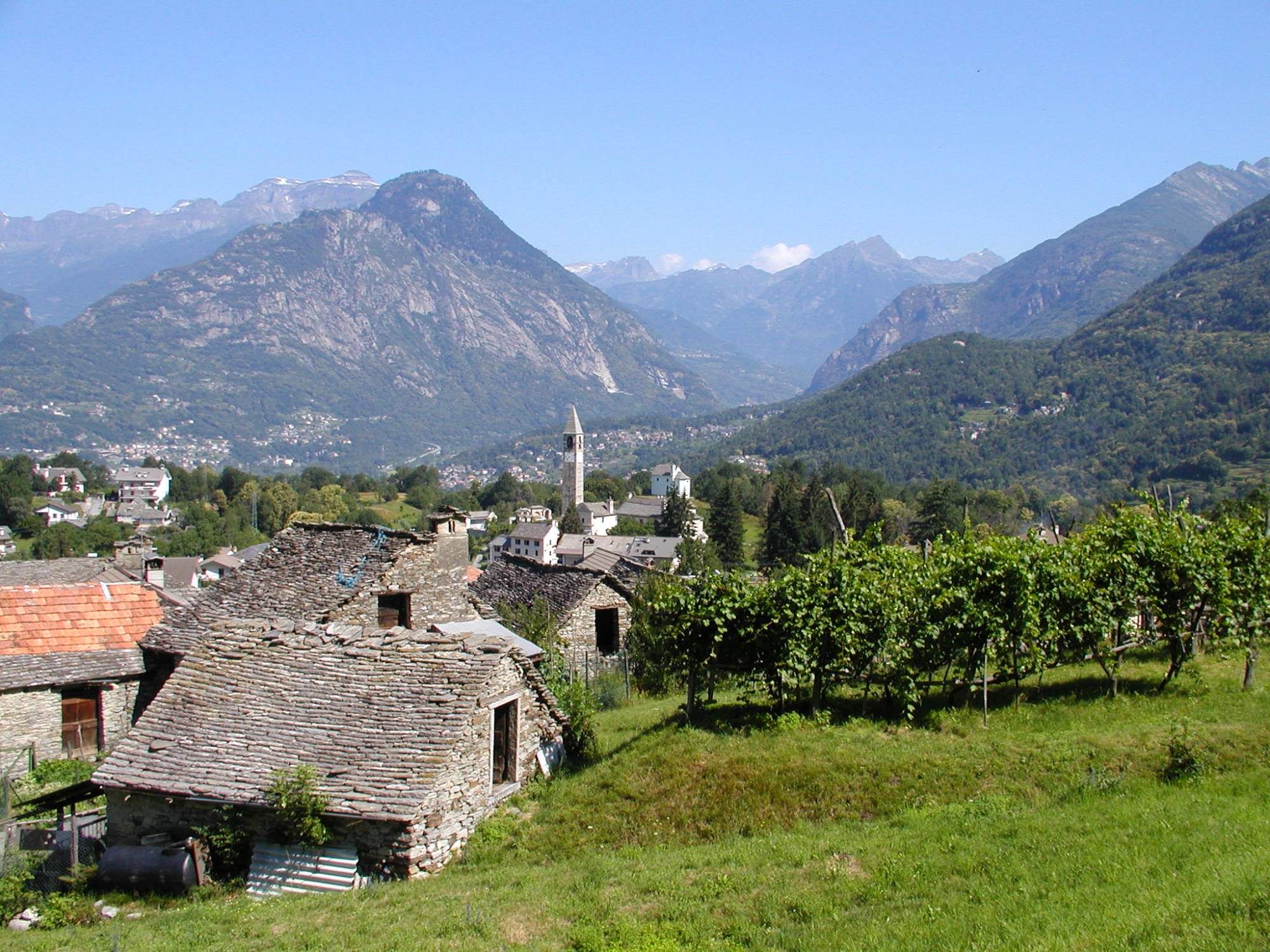
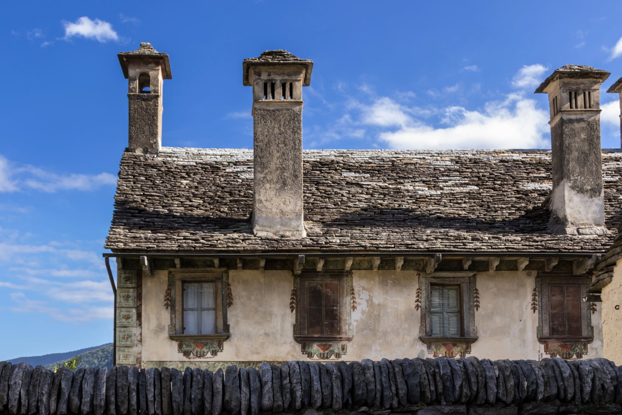
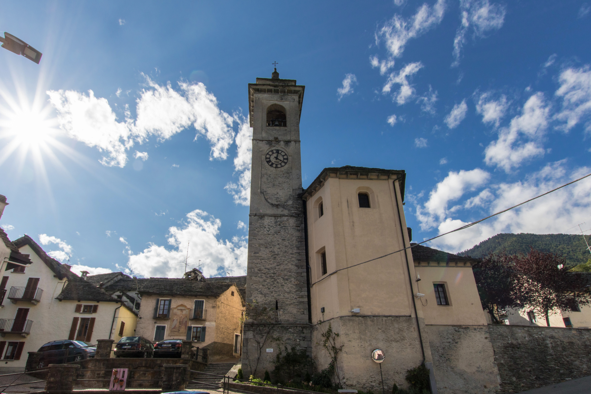
The Via del Mercato (Market Route) starts in Masera, a central place throughout the Ossola Valley, always sunny and since ancient times chosen for stable and continuous residences. You’ll find yourself at the mouth of the Melezzo river, coming from Vigezzo Valley. Along the banks of this river and the waters of the alpine streams, the history of Vigezzo Valley has flowed. The villages of Masera and Trontano, with their defensive and signalling works (towers in Masera, towers and castle in Trontano) have played a leading role in the centuries-old local history. The founding characteristics of the two towns are linked to agricultural activities: the cultivation of vines, above all, which have recently returned to populate the ancient terraces. The oldest Ossola vine, the Prünent, stands out above all and today is appreciated and famous even outside local borders. Crossing the hilly territory of Trontano on board the scenic Vigezzina-Centovalli Railway, which connects Domodossola with Locarno (CH), is the best way to appreciate still further the rural and authentic nature of these places.

Description

DISCOVER THE OTHER STAGES OF THE VIA DEL MERCATO:
Stage 2 – Da Re a Camedo
Stage 3 – Da Camedo a Intragna

Useful info

Italian Alpine Club (CAI) site identification code

Sector M “Historic Routes” M00

Starting point

Masera (Vigezzina-Centovalli Railway Station)

Places visited

Masera, Trontano, Marone, Ca’ Turbin, Mozzio, Coimo, Sasseglio, Druogno, Buttogno, Crana, Toceno, Vocogno, Craveggia, Zornasco, Villette, Re

Points of interest along the route

  • Villas and vineyards of Pello
  • The village of Trontano with churches, castle remains, ovens and lever
  • resses
  • Rio Graglia mills
  • Chapels of Verigo
  • The village of Marone
  • The villages of Mozzio and Coimo with terraces and the characteristic lack rye bread
  • Sasseglio mill with 16th-century chapel
  • The village of Druogno
  • Buttogno with the Val Grande National Park Visitor Centre
  • Crana with its characteristic oratory
  • Toceno with the Tomà Oven
  • The centre of Vocogno
  • The spectacular village of Craveggia, with its “treasure”, its chimneys and valuable paintings
  • The characteristic Via Crucis on the route to Zornasco
  • The small village of Villette with its sundials
  • The mule track towards Re
  • The majestic Sanctuary of the Madonna del Sangue in Re

Accomodation

Accommodation facilities in Re.
You can go back to Domodossola on the scenic Vigezzina-Centovalli railway (from the station in Re).

Useful info

Transport: From Domodossola FS International Railway Station, follow signs for the underground tunnel from which the scenic Vigezzina-Centovalli railway departs, getting off in Masera.
Contact details: Municipalities of Masera, Trontano, Druogno, Santa Maria Maggiore, Villette, Re www.vallevigezzo.eu
CAI contact details: Domodossola and Vigezzo Valley Sections www.estmonterosa.it
Refreshment areas: in Trontano, Coimo, Druogno, Santa Maria Maggiore, Craveggia and Re.

Difficulty

Medium difficulty (E)

Lenght

27 km

Ascent/descent

883 m ascent / 500 m descent

Time to complete the route

7 hrs 25 min

Signage

M00

Best time of year

From May to October

Reference map(s)

Map no. 12 scale 1:25,000 (Valle Isorno) – no. 14 (Valgrande) by Geo4Map/CAI
Digital maps on the following apps: ViewRanger – PDF Maps

Historic, artistic and cultural value
Value of traditional and peasant life
Natural value
Ideal for
Everybody
You will discover
Nature
Sport
Guide to itineraries and useful info
Ideal for
Everybody
You will discover
Nature
Sport
Guide to itineraries and useful info
Choose your
mountain guide
IAT di Santa Maria Maggiore
Piazza Risorgimento 28857 Santa Maria Maggiore (VB) See map
Choose your
tour or nature guide

You might also be interested in...