Hiking – Via del Gries: Riale-Gries Pass-Ulrichen
Difficulty
Medium
Period
Summer

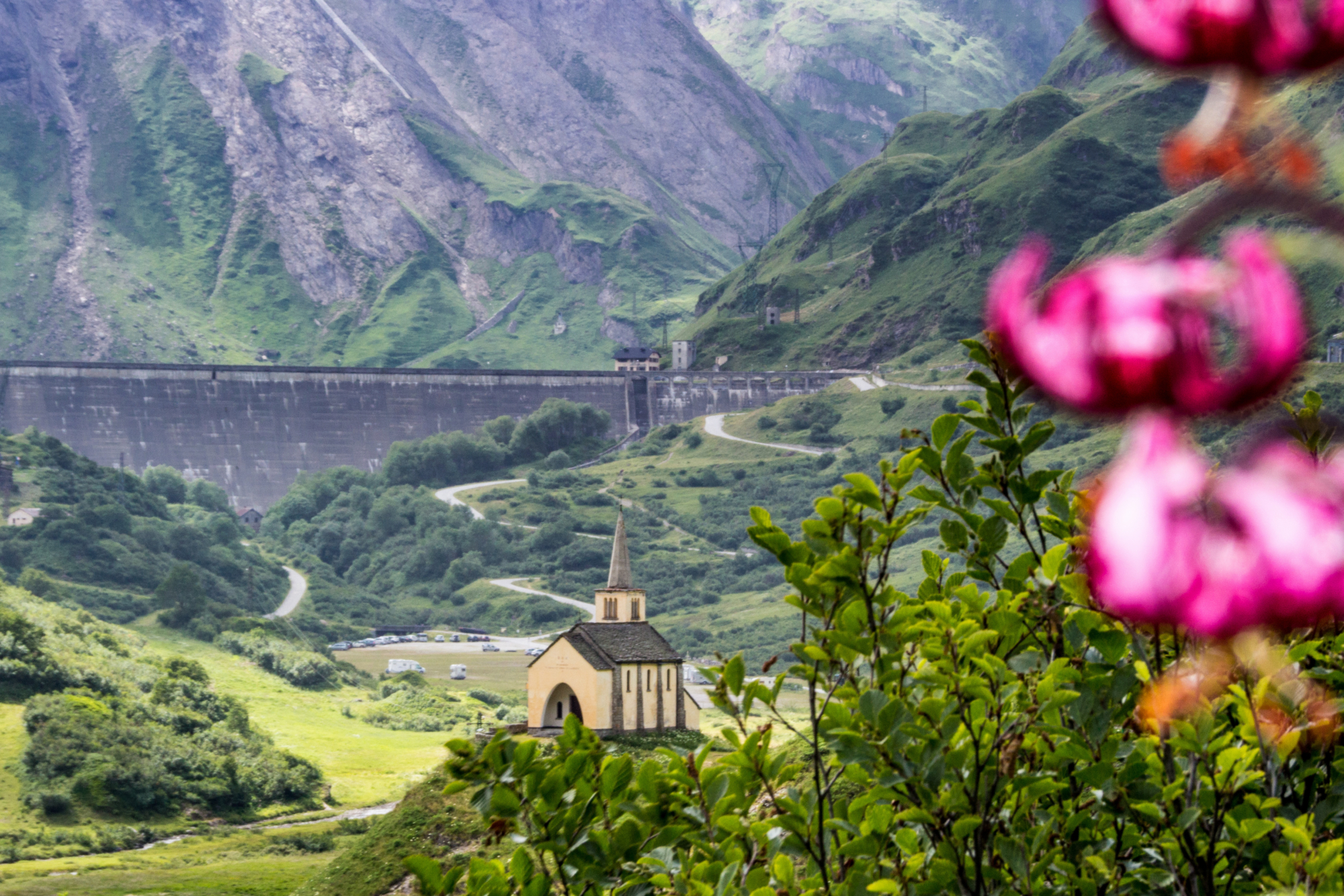
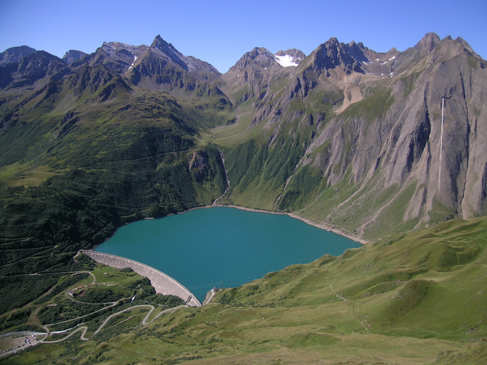
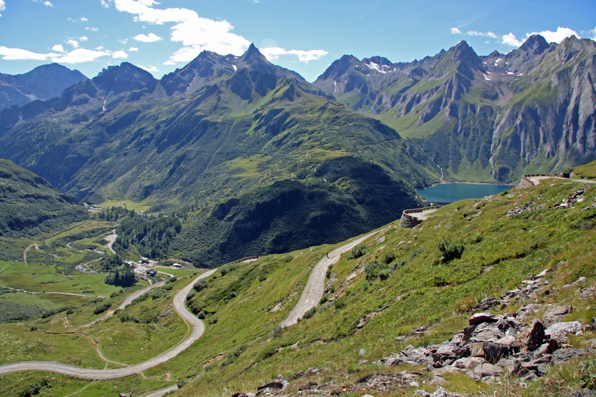
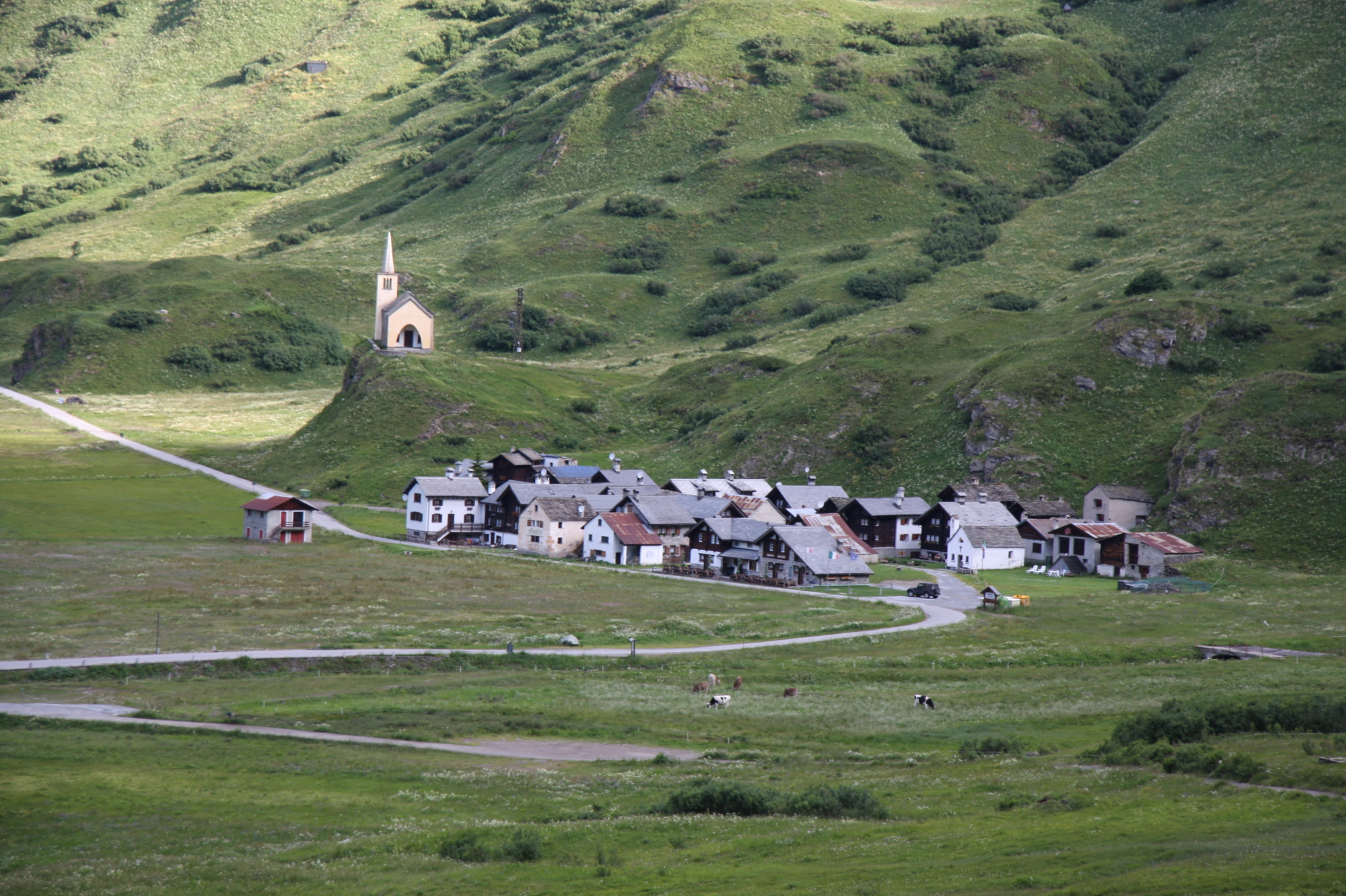
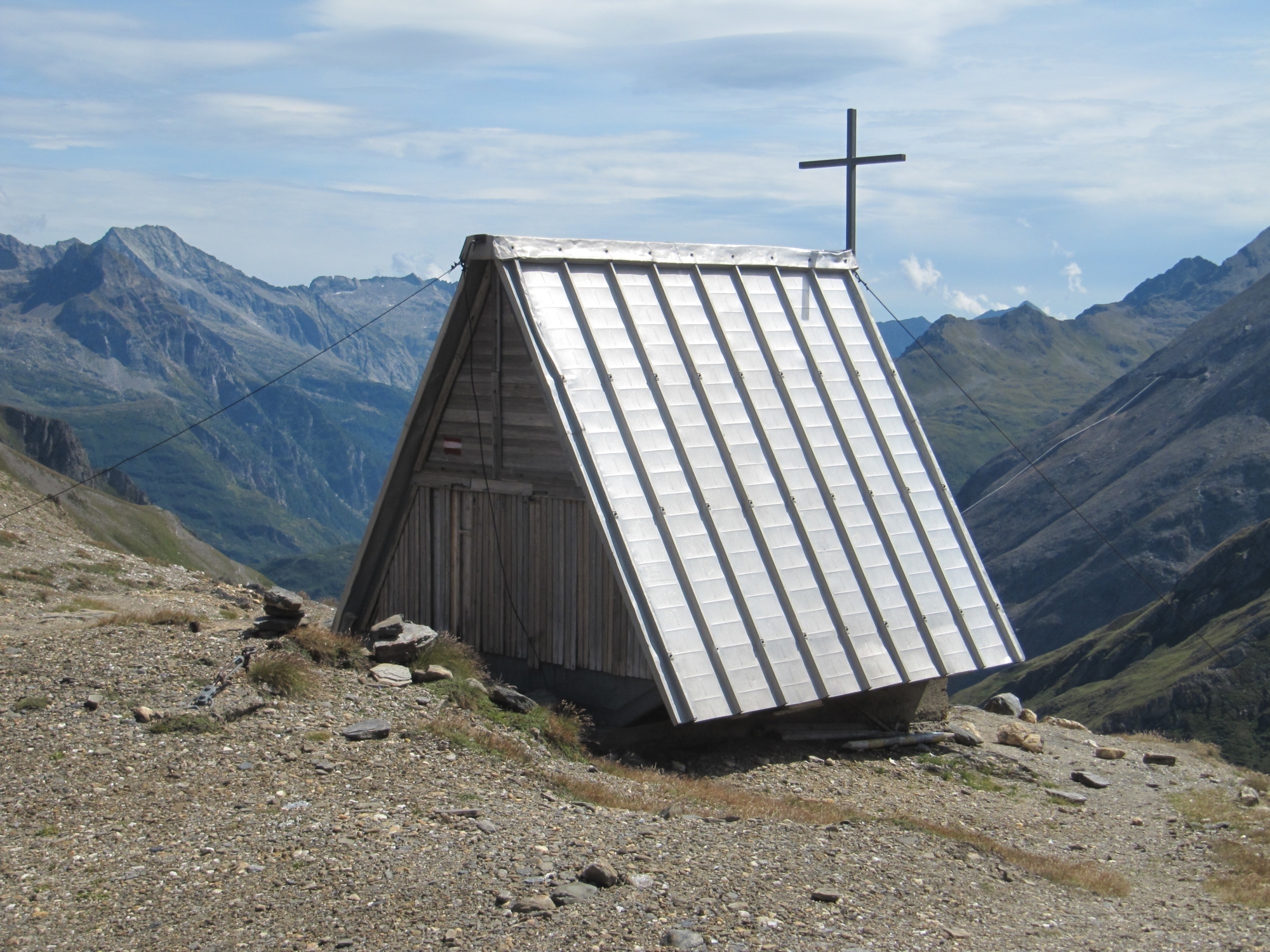
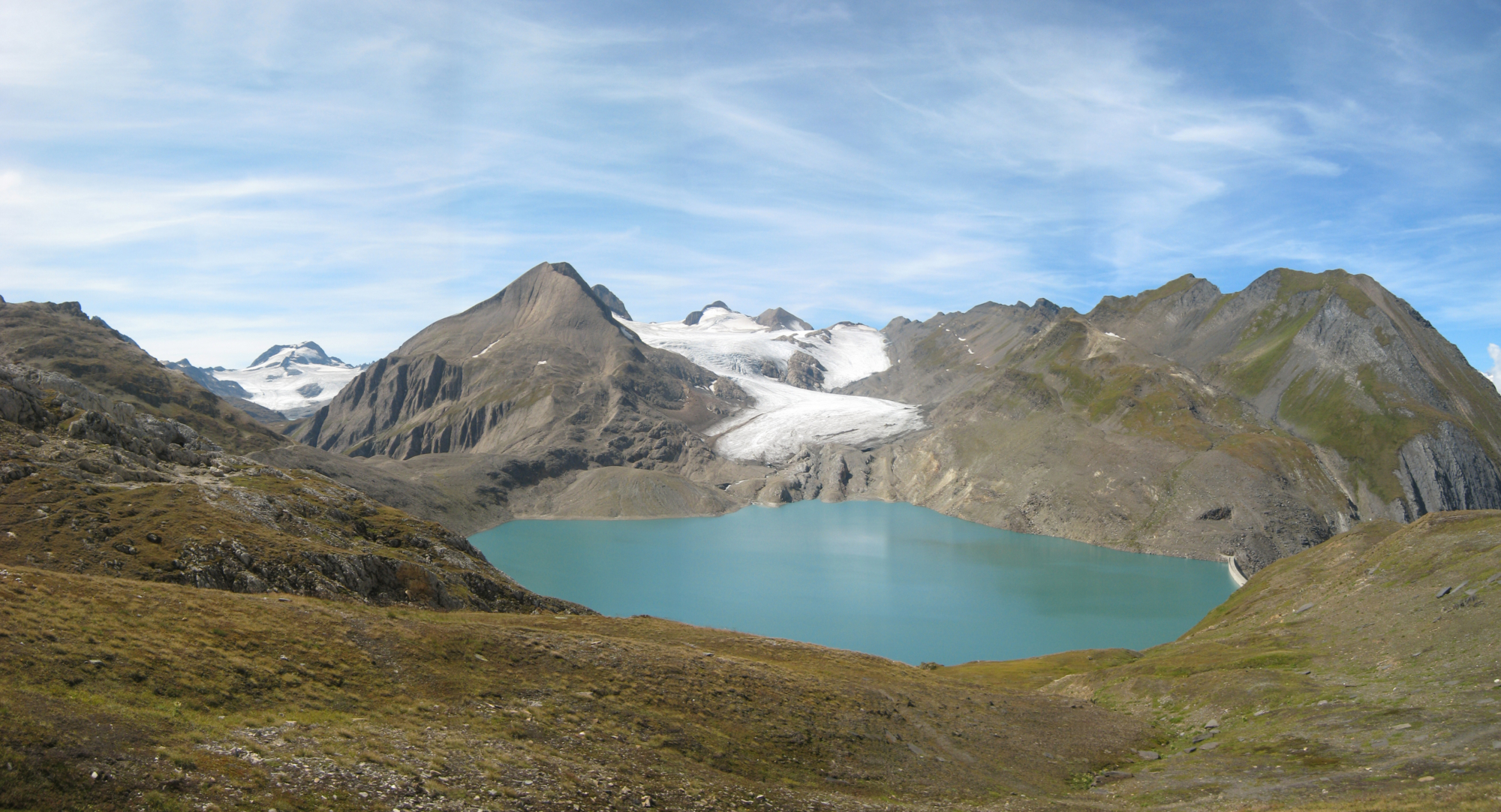
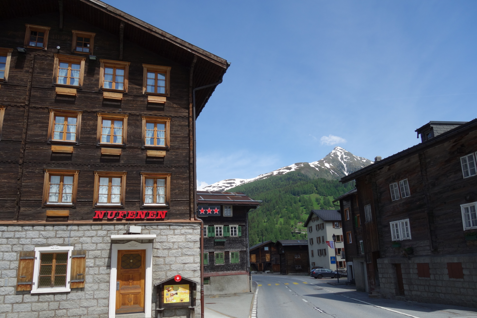
The fourth section of the Via del Gries starts from Riale and follows the comfortable route up to the Morasco dam and around the lake. Then, it continues along the path which, with some original paved stretches, leads to the beautiful plateau of Bettelmatt, the area renowed for the homonymous alpine cheese; finally, a rather steep path leads from the alp to the Gries Pass. An extraordinary view opens up from this pass: the lake, the glacier from the Blinnenhorn, Swiss peaks meeting Italian ridges… The special limestone rocks eroded by the glacier have given the ground a unique appearance: in the Walser language it’s called “Kries”, thus explaining the origin of the name of this important alpine pass. On the Swiss side, the route quickly descends to villages amidst meadows and larch forests. Along the way, you cross the beautiful stone bridge of Ladstaffel, dated 1749, where once stood a small chapel dedicated to San Nicolao, ex voto site of devotion built by some someggiatori (people who led mule caravans through mountain passes) from Formazza after escaping danger and now preserved in the Parish Church of Ulrichen.

Description

DISCOVER THE OTHER STAGES OF THE VIA DEL GRIES:
Stage 1 – Crevoladossola-Baceno
Stage 2 – Baceno-Ponte
Stage 3 – Ponte-Riale

Useful info

Italian Alpine Club (CAI) site identification code

Sector B “Historic Routes” G00

Places visited

Riale (1728 m), Lago di Morasco, Alpe Bettelmatt, Passo del Gries, Lago del Gries, Mandeli, Ladstafel, Hosand, Aarenast, Zum Loch, Ulrichen (Valle di Goms, Switzerland, 1347 m)

Points of interest along the route

  • Morasco dam
  • Alpe Bettelmatt Plain
  • Gries Pass

Accomodation

You can stay in accommodation facilities in Ulrichen or you can head back to Domodossola via train, changing in Briga.

Useful info

Domodossola FS International Railway Station (from Bern and Milan). From the BUS terminal, take the Valle Formazza bus route, getting off in Riale
Contact details: Municipality of Formazza
CAI contact details: Formazza Section

Difficulty

Medium difficulty (E). The routes are well signposted, the landscape is high mountain: you should have suitable equipment and clothing. Be careful in the high stretch of the Gries Pass, in case of fog follow the route on a GPS device.

Lenght

19 km

Ascent/descent

Ascent 775 m / Descent 1164 m

Time to complete the route

6 hrs 10 min

Recommended equipment

Hiking boots and high mountain clothing

Signage

G00 to the Gries Pass then Swiss signage

Best time of year

From late June to September

Reference map(s)

Map no. 10 scale 1:25,000 (Val Formazza) by Geo4Map/CAI
Digital maps on the following apps: ViewRanger – PDF Maps
For the Swiss section: map no. 1250 “Ulrichen”, scale 1:25,000 Carte Nazionali Svizzere

Historic, artistic and cultural value
Value of traditional and peasant life
Natural value
Ideal for
Everybody
You will discover
Nature
Sport
Guide to itineraries and useful info
Ideal for
Everybody
You will discover
Nature
Sport
Guide to itineraries and useful info
Choose your
mountain guide
IAT di Formazza
Frazione Ponte, 5 28863 Formazza (VB) See map
Choose your
tour or nature guide

You might also be interested in...