Description
DISCOVER THE OTHER STAGES OF THE VIA DEL GRIES:
Stage 2 – Baceno-Ponte
Stage 3 – Ponte-Riale
Stage 4 – Riale-Passo del Gries-Ulrichen
Useful info
Italian Alpine Club (CAI) site identification code
Sector B “Historic Routes” G00
Starting point
- Crevoladossola, Piazza Municipio (350 m – 1148 ft), which you can get to on the Domodossola – Formazza bus route; from the bus stop, follow the G00 signs
- From the bus stop, go down to Lake Tana (314 m – 1030 ft) and continue along variant G00a, which joins up with G00 in Pontemaglio
Places visited
Crevoladossola, Solaro, Oira, Pontemaglio, Crodo, Verampio, Baceno
Points of interest along the route
- The Romanesque Church of Crevoladossola with its artistic stained glass windows
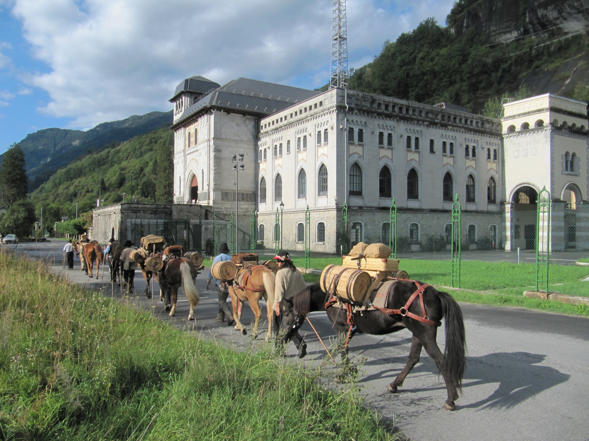
- Crevola hydroelectric plant
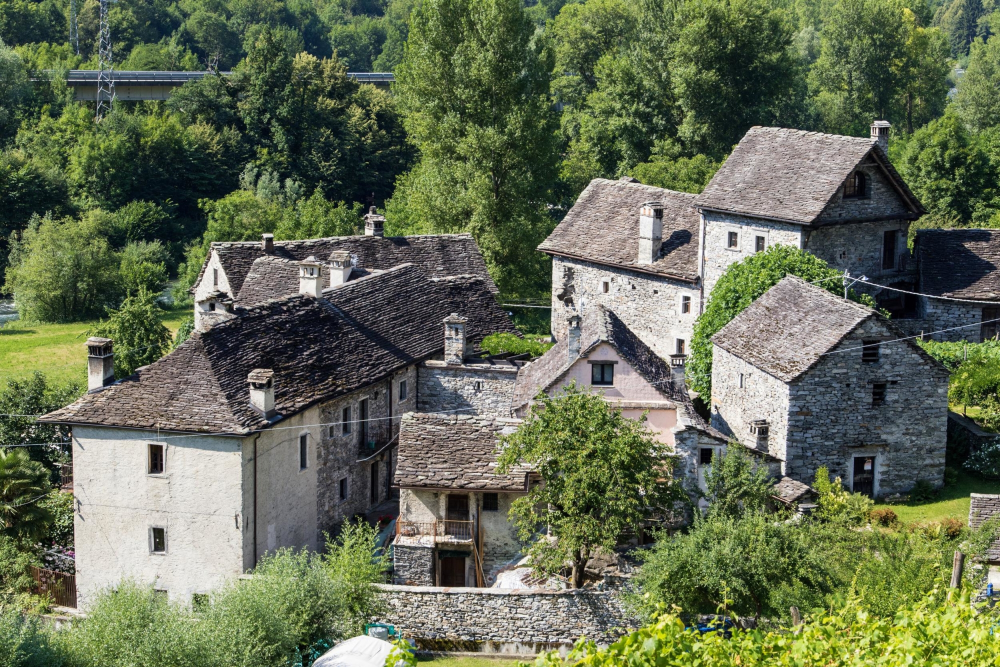
- The village of Canova
- The oratory and village of Oira
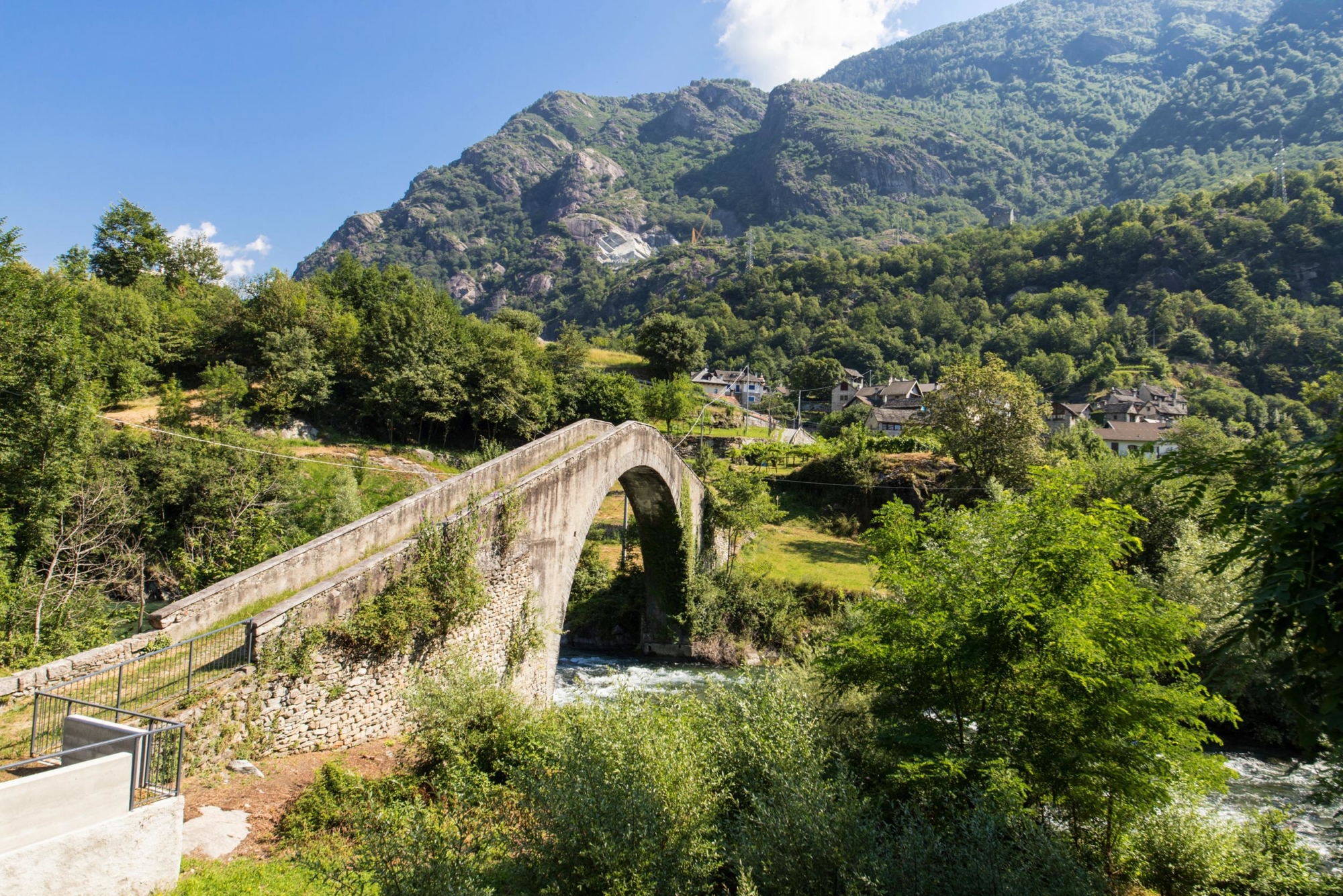
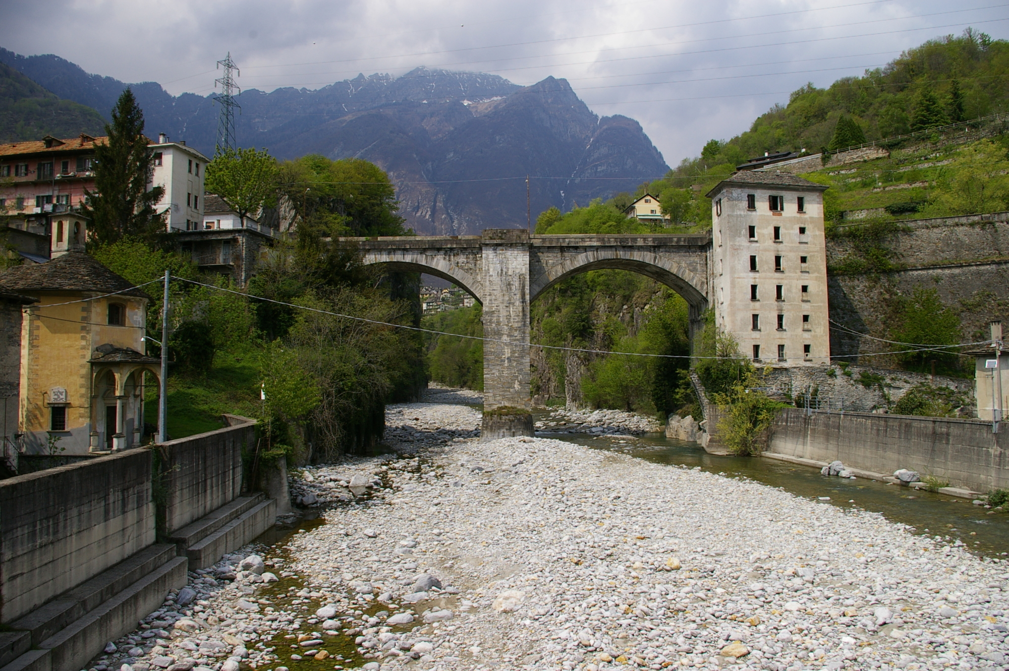
- The arched bridge of Pontemaglio
- The oratory and village of Pontemaglio
- The remains of Rencio Castle
- Terme di Crodo thermal spa complex
- The church and the village of Crodo
- Verampio hydroelectric plant
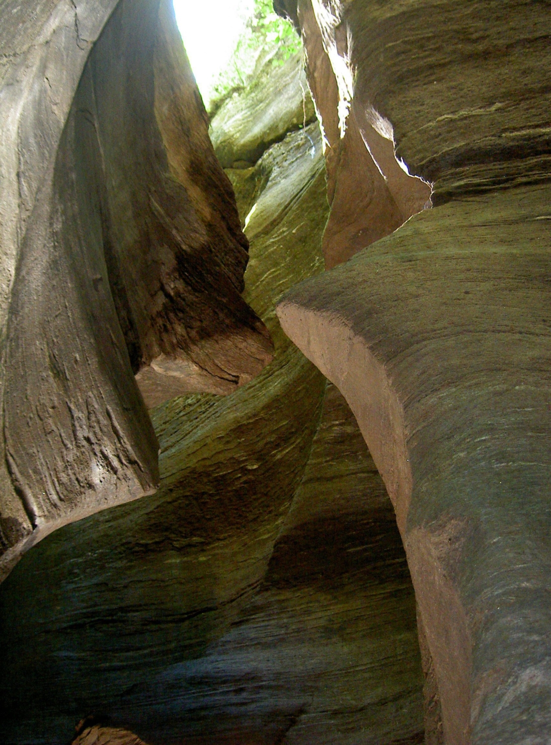
- Uriezzo Ravines
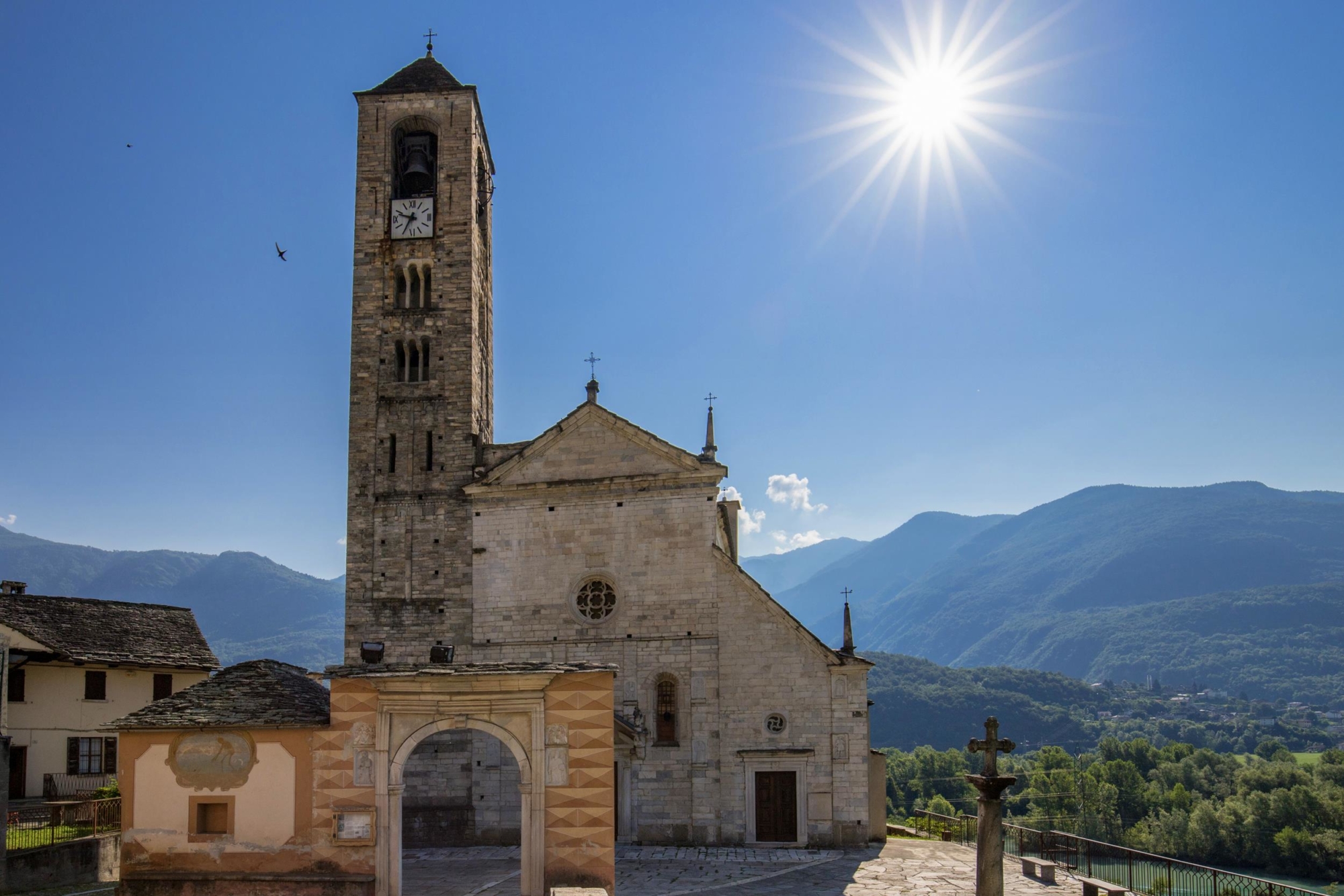
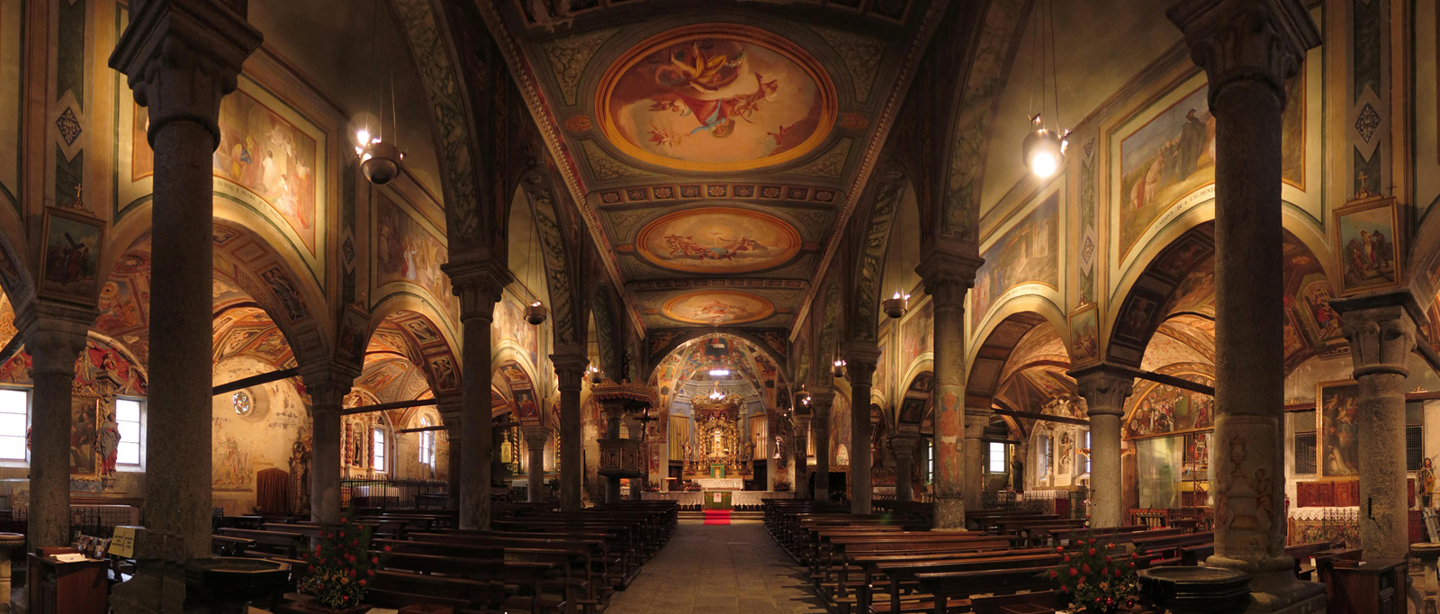
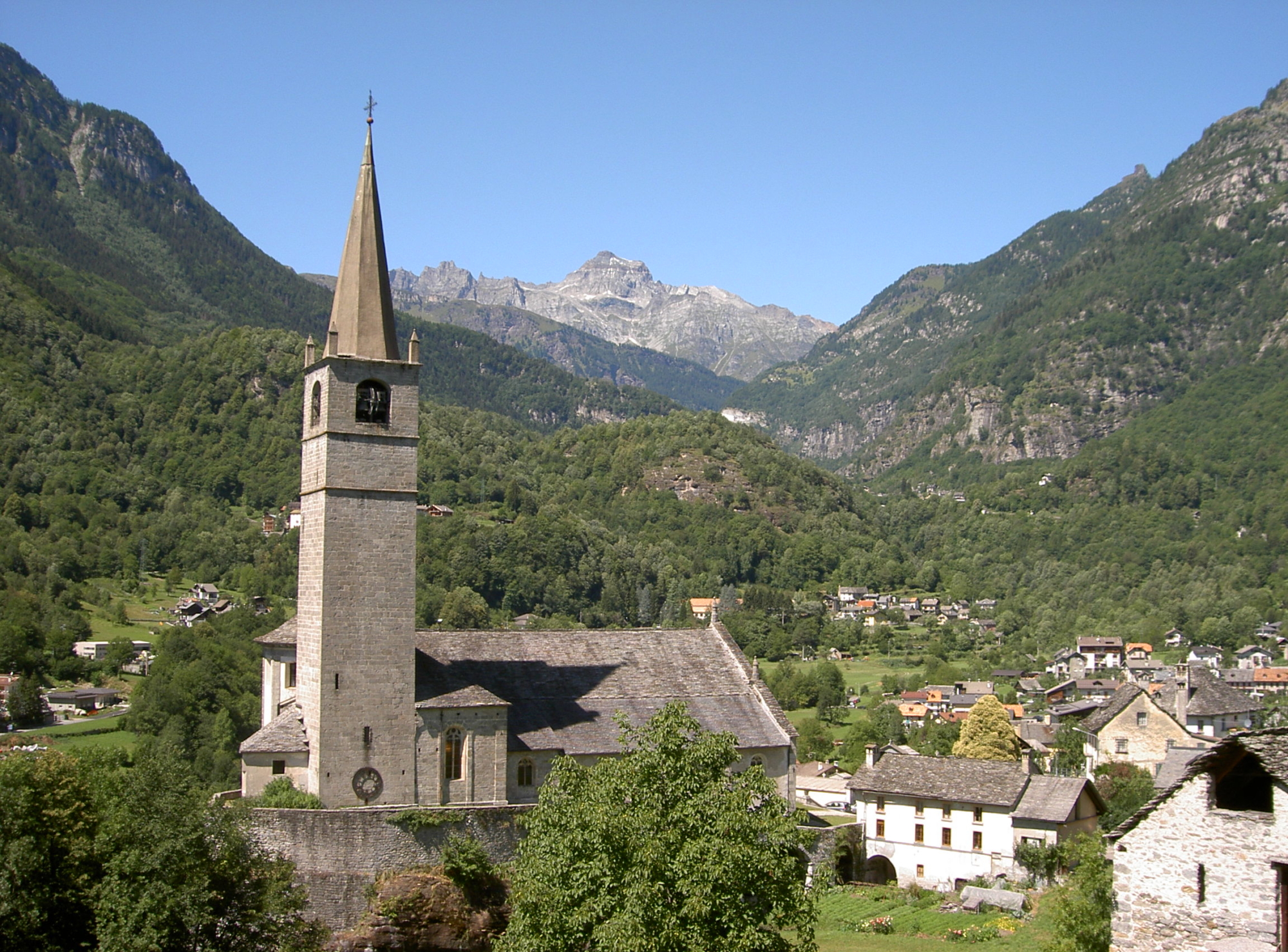
- The Monumental Church of San Gaudenzio in Baceno
- The historical village of Baceno
Useful info
Transport: Domodossola FS International Railway Station (from Bern and Milan). From the BUS terminal, take the Valle Formazza bus route, getting off in Crevoladossola.
Contact details: Municipalities of Crevoladossola, Crodo and Baceno
CAI contact details: Formazza Section
Refreshment areas: Various places to stop for food and drink along the Oira, Crodo, Verampio and Baceno section.
Difficulty
Medium difficulty (E). The route follows beautiful mule tracks, a stretch of dirt track after Pontemaglio and village streets.
Lenght
Ascent/descent
397 m ascent / 70 m descent
Time to complete the route
Signage
G00 (G00a for the Montecrestese to Pontemaglio variant)
Reference map(s)
Map no. 12 scale 1:25,000 (Valle Isorno) by Geo4Map/CAI
Digital maps on the following apps: ViewRanger – PDF Maps